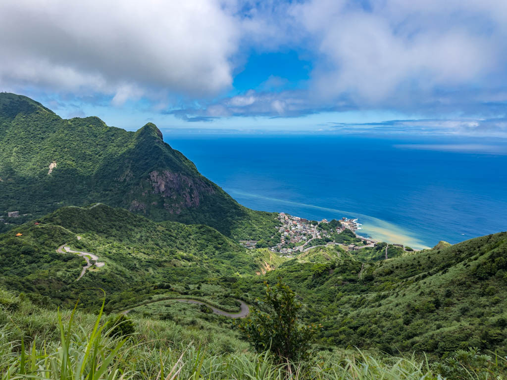
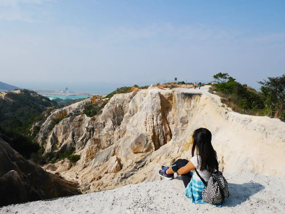
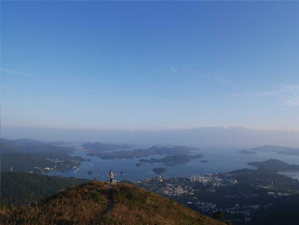
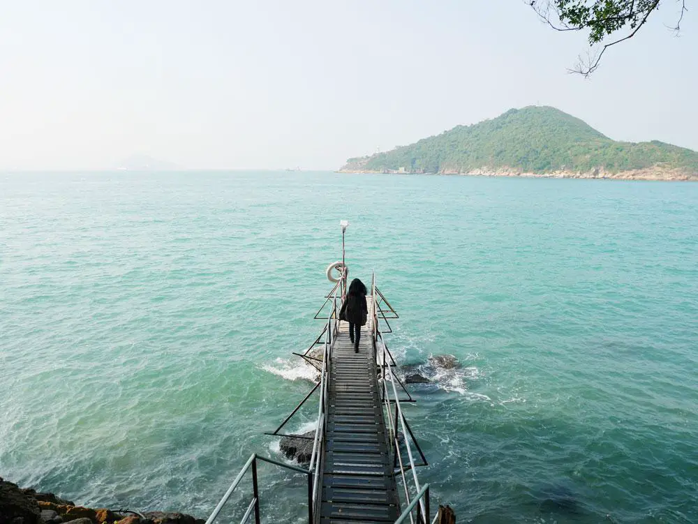
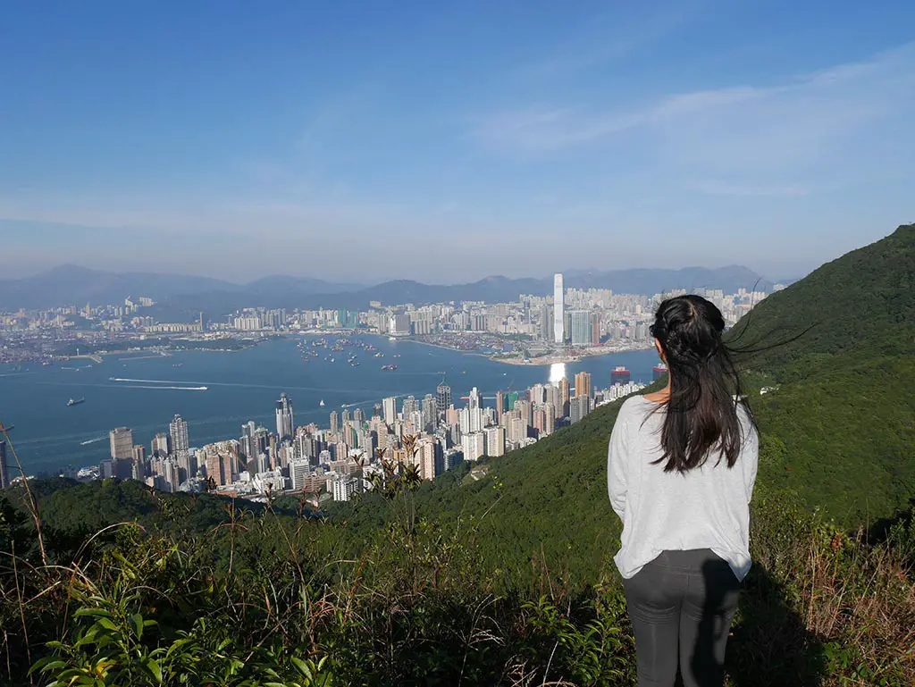
If you are looking for a fun and challenging day hike from Taipei, you might want to consider Teapot Mountain. This hike is not only named after its unique shape, but also offers stunning views of the Northeast Coast, the Ying Yang Sea, and the nearby Banpingshan. In this guide, I will show you how to hike Teapot Mountain in Taiwan, what to expect, and some tips to make the most of your adventure.
> See Taipei best night markets for when you return to the city from the hike
> See more Taiwan tips here
Table of Contents
Summary of Teapot Mountain Hike Taiwan
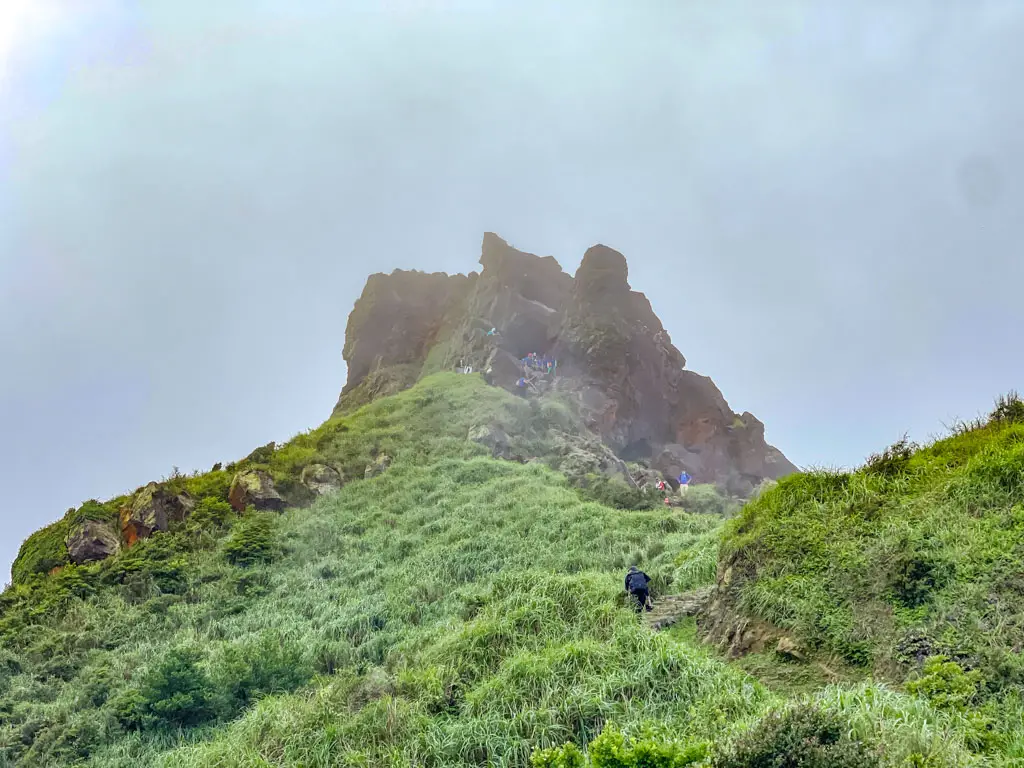
Time taken: 1.5-2 hours depending on speed and stopping
Difficulty: 2/5 – 1.5/5 if you don’t go to the top
Pros: very beautiful view of Ying Yang Sea
Cons: many stairs
Note: you are not supposed to hike to the top of the teapot. Please refrain from doing so even though some Instagram/blogs would show them doing it.
Tips for Hiking Teapot Mountain
Here are some frequently asked questions and tips for hiking Teapot Mountain! I personally found it a very easy hike but there are some things to be aware of.
How long does it take to hike Teapot Mountain?
It takes around 1.5-2 hours to hike the Teapot Mountain. That depends on your fitness level and how much you stop for photos etc. It took us less than 2 hours to get back to the Gold Museum.
Why is it called Teapot Mountain?
Technically, in Chinese it is called the handleless teapot mountain because it resembles a teapot without a handle from afar. You can actually hike under it at the peak, but that is also slightly off-trail.
Where is Teapot Mountain?
Teapot Mountain is located near the old gold mining town of Jinguashi, about an hour’s drive from Taipei. It is in the Rifang region and near (but not that easy to get to) Shifen, and even closer to Jiufen.
When is the best time to hike Teapot Mountain
The best time to hike Teapot Mountain is in the morning when the weather is cooler and the visibility is better.
It is often rainy in the area so be prepared with an umbrella and waterproof jacket and bag.
When is the best season to hike Teapot Mountain
The best season to hike Teapot Mountain is in spring or autumn when the temperature is mild and the flowers are blooming. Avoid hiking in summer, when it can get very hot and humid, or in winter when it can get very cold and windy.
We did the hike in summer and it is possible – but prepare to sweat!
Important things to note hiking Teapot Mountain
- The hike can be crowded on weekends and holidays, especially at the teapot spout and the peak. If you want to avoid crowds, try to hike on weekdays or early in the morning.
- Hiking up to the teapot can be dangerous in bad weather conditions, such as rain, fog, or strong wind. If you encounter any of these, turn back or wait until it clears up. Do not attempt to climb the teapot spout or the peak if it is wet or slippery.
- The hike can be challenging for beginners or people with low fitness levels. If you are not confident or experienced in hiking, you might want to skip the teapot spout.
How do I get to Teapot Mountain Jiufen?
Teapot Mountain is near Jiufen in Shifen, here’s how to get there:
Taipei to Teapot Mountain by Bus
The easiest way to get to Teapot Mountain by public transportation is to take Bus 965 from Beitou MRT Station. The bus runs every 30 minutes and costs TWD 90 one way. The ride takes about an hour and a half, depending on traffic.
Taipei to Teapot Mountain by Train and Taxi
You can also take the train to Ruifang Station, and then transfer to Bus 788 or Bus 1062 to Jinguashi. The train costs TWD 49 one way and takes about 40 minutes. The bus costs TWD 15 one way and takes about 20 minutes.
You can use Google Maps or the Taipei Bus app to check the bus schedule and route.
Getting to the Teapot Mountain Hike Trail Start
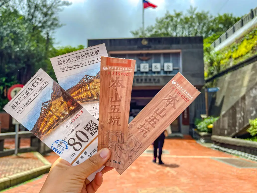
The hike starts at the Jinguashi Gold Ecological Museum, which is a historical park that showcases the gold mining history and culture of the area. You can visit the museum before or after the hike, but you will need to pay an entrance fee of TWD 80.

tickets for Gold Museum
Note: we actually bought the ticket and headed to the trail starting from the top of the Gold Museum Compound – which is the best route on foot.


highest part of the Gold Museum
To start the hike, walk towards the back of the museum and up the steps toward the Gold Building. Follow the train tracks to the very back of the park, where you will see a bridge over a stream.

bridge (don’t take the gravel path on the other side 
Continue here 
Cross the bridge and continue on the road/path forward until you reach the junction.
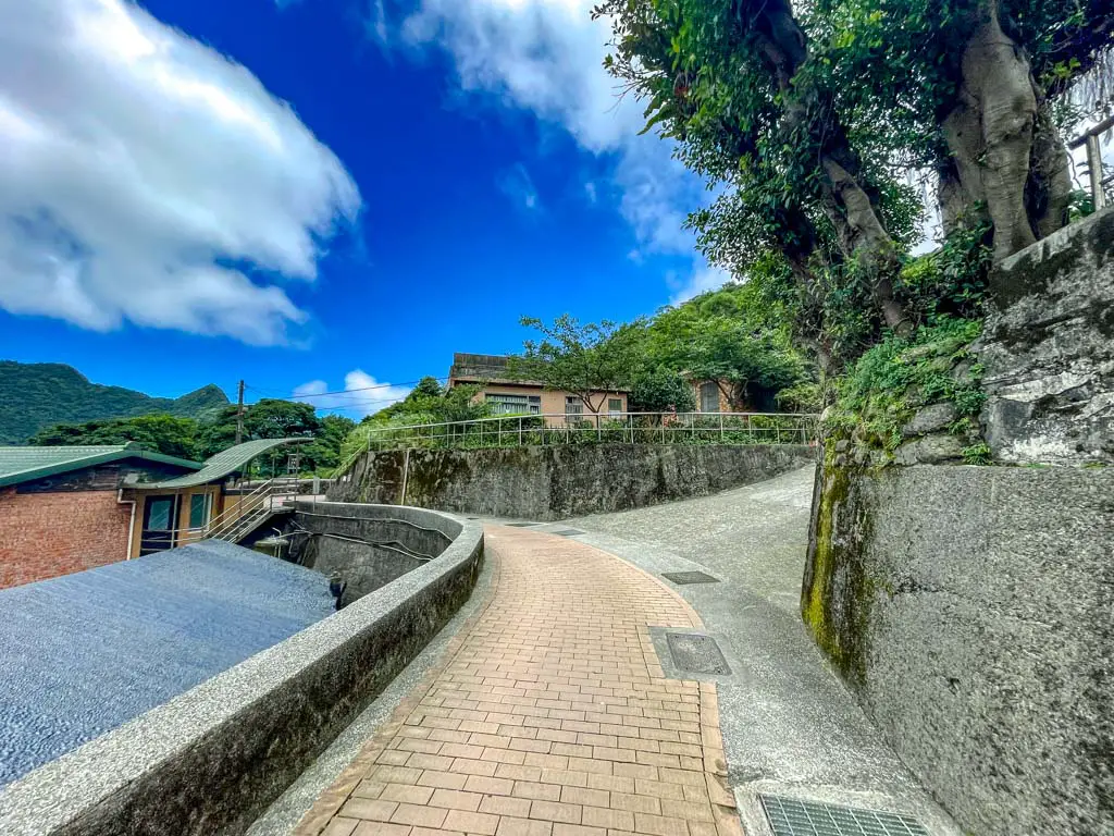
Note: there is a gravel path next to the bridge and while it does go up to Teapot Mountain, it’s a different side and you won’t see the Ying Yang Sea.
It eventually comes to a point where the trail start for Teapot Mountain is marked and it’s a big junction.
Teapot Mountain Hike
Here’s what my Teapot Mountain Hike was like!
Teapot Mountain Trail Start
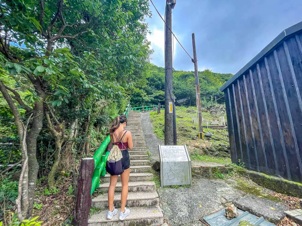
The trail pretty much starts immediately with stairs and it is quite steep, so remember to pace yourself. There isn’t much to see at the beginning with the tall trees and bushes, but you can glimpse the Ying Yang Sea quite quickly.
It’s quite easy and clear to follow the main path, but you can also follow the hike on Google Map or AllTrails App. I personally also use OSMAnd as an offline map.
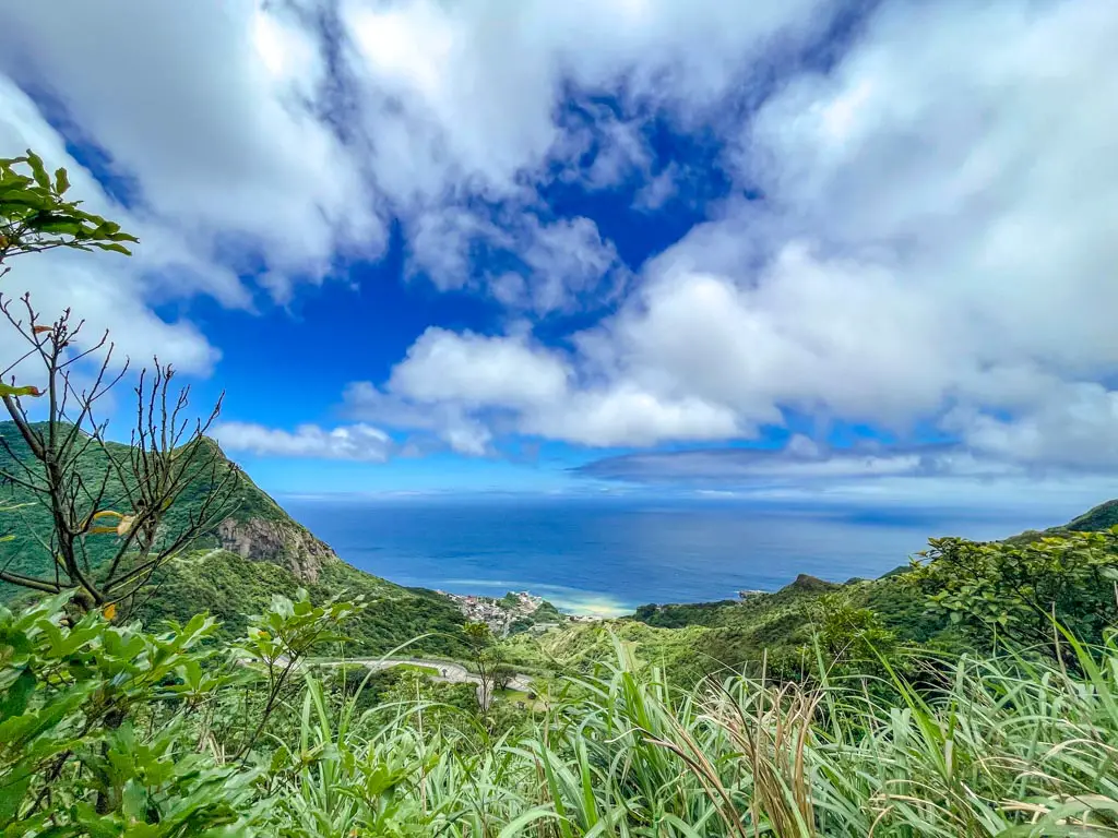
There is a long flight of stairs that is perfect for snapping a photo with the Ying Yang Sea. At the top is the trail’s junction with a road and there is also a pavilion. You can turn back here or continue up to the peak.
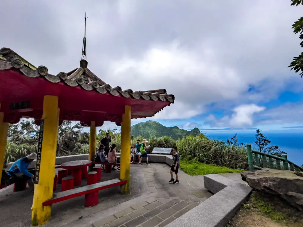
Hiking to Teapot Mountain Peak Trail
From the pavilion, you’ll have to walk along the road up to the Teapot Mountain Peak trail start. It’s surprisingly not steep and you get an amazing view of the Ying Yang Sea and Keelong Mountain as you go up.
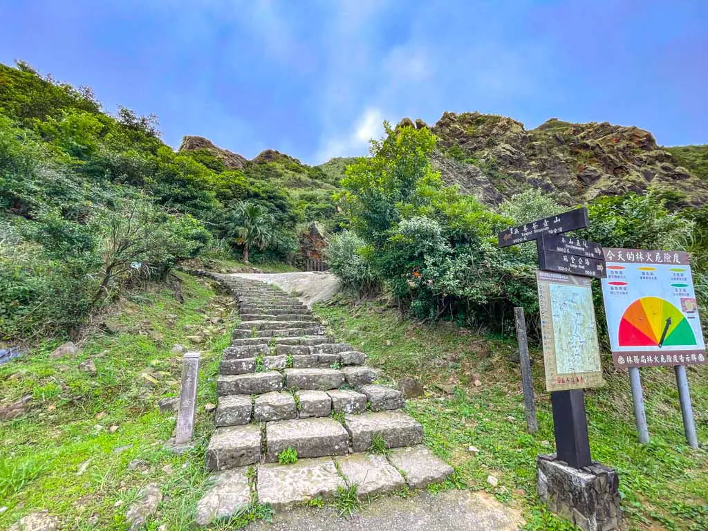
The trail start is very well marked with a signpost and you can see the teapot peak is very close by.
Teapot Mountain Peak Hike
The trail to the top is more rugged and narrow than the previous sections, and it can be muddy and slippery in places. If you plan to hike this section, trainers are a must, and hiking shoes are preferred.
The hike is less steep than the stairs and there is a viewing platform before you get to the very end of the trail that is a good place to stop, rest, and take a panorama photo.
Hiking to the Teapot
We did not hike to the teapot because it was foggy, slightly drizzling, and the area was already very crowded.
The trail technically ends at a pavilion a short hike up from the viewing platform. But there is a dirt path that leads up from many treading across.
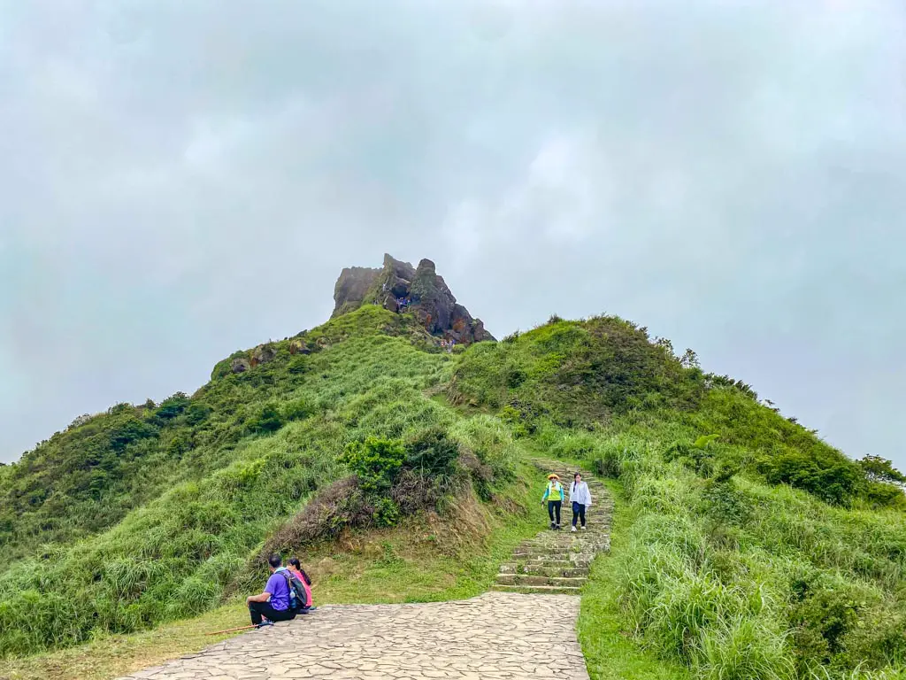
You can climb through a hole in the rock that resembles a teapot spout, hence the name of the mountain. The hole is not very big, but it can be tricky to squeeze through if you have a backpack or are claustrophobic.
Once you get through the hole, you will get even higher of the Ying-Yang Sea, which is a natural phenomenon where two different colors of water meet due to different minerals in the soil. You will also see Banpingshan, which is another mountain that looks like a giant rock.
To return, you can either go back the same way you came, or you can continue along the ridge to Banpingshan and then descend to Jiufen. This option is longer and more difficult, but it offers more views and variety. You can find more details about this option in this blog post.
Conclusion
Hiking Teapot Mountain in Taiwan was one of my favorite experiences in Taipei. It was a fun and adventurous hike that offered stunning views of the Northeast Coast. I highly recommend it to anyone who loves hiking and nature.
If you have any questions or comments about hiking Teapot Mountain in Taiwan, feel free to leave them below. I would love to hear from you.


 中文 (香港)