134 hike Sai Kung: Sharp Peak-3 Peninsula-4 beaches

me at the top of cheung tsui peak sai kung hong kong 一尖三咀過四灣 - laugh travel eat
  1. Dazzling… Dazzling Cafe
  2. 5 reasons why I ditched London and move back to Hong Kong
  3. Wine and dine at Stone Nullah Tavern
  4. Sai Kung rock pools: the 4 consecutive pools and falls
  5. The Ultimate Guide to a Sai Kung Boat trip
  6. 5 transportations to take in Hong Kong
  7. Top 5 dessert place of Hong Kong (as of Sept 2016)
  8. 5+ amazing Sai Kung beaches in Hong Kong
  9. The Ultimate First Timer’s info guide to Hong Kong
  10. The Ultimate Guide to visiting the Peak, Hong Kong
  11. Best Egg Waffle Hong Kong: tried and tested
  12. Best brunch Hong Kong: my top 5 western restaurant
  13. Night Hike in Hong Kong: Suicide Cliff, Kowloon Peak
  14. The Best Time to Visit Hong Kong
  15. Pineapple Mountain: a visit to the Hong Kong Grand Canyon
  16. Top things to do in Admiralty and Central Hong Kong
  17. The Best Place to Stay in Hong Kong for First Timers
  18. Alternative places to stay in Hong Kong
  19. The Ultimate Guide to Temples of Hong Kong (ALL free entry!)  
  20. Moreish and Malt Afternoon tea: a review
  21. West High Hill – an adventurous alternative to the Peak
  22. Ham and Sherry Brunch Review – Tapas in Hong Kong
  23. My top restaurants in Hong Kong
  24. Hiking Tsz Wan Shan: the most underrated view of Kowloon
  25. Bubble tea Hong Kong: a Laugh Travel Eat guide
  26. A Shop and Eat Guide to Mongkok Hong Kong:
  27. Tung Ping Chau Day trip: hidden Hong Kong
  28. Ninepin Island: the hidden hexagonal column paradise of Hong Kong
  29. Tai Tun Shan – the thousand islands view of Sai Kung
  30. 15+ most instagrammed place in Hong Kong that’s not the Peak and how to get there
  31. My 1 Day Itinerary in Hong Kong
  32. Best of Sai Kung’s nature: Lai Chi Chong, Sham Chung, and Yung Shue O hike
  33. MacLehose Trail Stage 4 – Shui Long Wo
  34. Wu Gau Tang to Tiu Tang Lung hike: Hong Kong’s mountain and bays
  35. Easy hikes in Hong Kong that aren’t Dragon’s Back
  36. Needle Hill Hong Kong – conquering the third sharpest peak
  37. High Junk Peak: hike the second sharpest peak of Hong Kong
  38. Lung Ha Wan Country Trail: a hike up Tai Tun Leng Hong Kong
  39. Sham Shui Po local guide: fabric, electronics, and food galore
  40. A local’s guide to Sai Kung Hong Kong
  41. Iris Hong Kong review: the annual yoga and wellness weekend festival
  42. A hike up Ma On Shan via Tiu Shau Ngam, Hong Kong
  43. Lion Rock Hike: how to hike up the iconic Hong Kong mountain
  44. Tai To Yan: a Hong Kong razor ridge hike
  45. Buffalo Hills: hike up rocky outcrops and silver grass in Hong Kong
  46. Robin’s Nest: hike between Hong Kong and Shenzhen
  47. Devil’s Peak: fortifications and urban views galore
  48. Qipao rental in Hong Kong: experience old Hong Kong charm
  49. Kai Kung Leng: the velvet trail of Yuen Long
  50. Tai O Hong Kong: a day trip from the city
  51. Hung Heung Lo Fung: shortest hike in Hong Kong with a view
  52. Top things to do in Lantau Island on a day trip (or two)
  53. Wo Yang Shan hike: frolic under Tai Mo Shan
  54. Things to do in Sheung Wan Hong Kong
  55. Things to do in Hong Kong at night
  56. Sheung Wan Restaurants: best eateries and cafes
  57. Cheung Chau Island: a Hong Kong day trip
  58. What to do in Hong Kong in 4 days – advice from a local
  59. Nui Po Shan: finding the phallic rock hike in Hong Kong
  60. Sharp Peak: conquering one of Hong Kong’s toughest trails
  61. Lui Ta Shek hike: a quiet hike in Sai Kung
  62. Hiking Middle Hill – a fly by from Kowloon Peak
  63. Kayaking in Sai Kung: where to rent and paddle to
  64. Green Egg Island – an unusual oasis in Sai Kung, Hong Kong
  65. Seeking Kam Kui Shek Teng, Sai Kung Hong Kong
  66. Ping Nam Stream: hidden waterfall in Hong Kong
  67. Madai Stream: chasing waterfalls in Ma On Shan
  68. Grass Island Tap Mun- a Sai Kung getaway
  69. Pak Lung Stream: a Lantau stream hike
  70. Top Hong Kong Staycation deals
  71. Ap Lei Pai adventure via Yuk Kwai Shan
  72. Po Kwu Wan: a hidden Sai Kung bay
  73. Wang Chung Stream: the most scenic waterfall hike
  74. Tai Shing Stream – seeking birds and dragons
  75. Basalt Island: an adventure in Sai Kung Geo Park
  76. Jin Island: a day trip to Tiu Chung Chau
  77. Rhino Rock Stanley: a short hike with a view
  78. Tsing Tam Reservoir and Ho Pui Reservoir: an easy hike
  79. Lantau Peak from Ngong Ping: the easy route
  80. Bluff Island: an island adventure in Sai Kung
  81. Lo Fu Tau Country Trail: a Lantau Island hike
  82. Wilson Trail Stage 4: Tung Yeung Shan – an unexpected silver grass heaven
  83. Middle Dog Teeth Ridge – Mid Kau Nga Ling up Lantau Peak
  84. Kau To Shan: the hidden hike in Fo Tan
  85. Lau Shui Heung Reservoir to Hok Tau Reservoir: a Fanling easy day hike
  86. Tai Mo Shan hike: 5 ways to go up the Highest peak in Hong Kong
  87. 10 best hikes Hong Kong
  88. Devil’s Fist – a Plover Cove Reservoir hike out Wong Chuk Kok Tsui
  89. Cape d’Aguilar Hike Hong Kong: a complete guide
  90. Violet Hill hike + Twins Peak
  91. Sham Shui Po Food: a tried and tested guide
  92. Thousand Islands: Reservoir Island viewpoint in Tai Lam Country Park
  93. Tai Tong: Hong Kong’s red leaves haven
  94. Mau Ping Ancient Trail: seeking the Vine King and Bamboo Tunnels
  95. Kadoorie Farm and Botanic Garden: a sustainable and education day trip
  96. Pat Sin Leng hike: conquering the 8 immortals peak
  97. Shek Uk Shan: highest peak in Sai Kung
  98. Nam Sang Wai: cycling to the Yuen Long scenic wetland
  99. Tsang Pang Kok Tsui: the hidden headline
  100. Seeking Devil’s Claw along Chung Hom Kok
  101. Things to do in Aberdeen Hong Kong
  102. Sok Kwu Wan: hidden Lamma Island
  103. Best Burgers in Hong Kong
  104. Wang Chau: Sai Kung’s hidden tombolo
  105. Yim Tin Tsai: the salt farming island of Sai Kung
  106. Top things to do in Tsim Sha Tsui
  107. Checkerboard Hill: a Hidden Kowloon hike
  108. Hidden Hindu Temple Fanling: low level urban exploration
  109. Shark Rock Hong Kong: a hidden Kowloon hike
  110. Cloudy Hill: the easy way to hike Wilson Trail Section 8
  111. Ngau Wu Reservoir hike: a quick trip to the forgotten Ma On Shan reservoir
  112. 134 hike Sai Kung: Sharp Peak-3 Peninsula-4 beaches
  113. Ng Tung Chai Waterfalls hike: Bali vibes in Hong Kong
  114. Little Hawaii Trail: easy waterfall hike with tropical vibes
  115. Maclehose Trail Section 3: Ka Kung Shan hike
  116. MacLehose Trail Section 2: Sai Wan, Ham Tin Beach, and Chek Keng
  117. Po Toi Island Guide: hikes, attractions, and where to eat
  118. Tsz Sha Ancient Trail: an easy hike between Shatin and Kowloon
  119. Easter Island Rock Hike: Sunny Bay to Discovery Bay on Lantau Island
  120. Fan Lau Trail: the southwestern most part of Lantau Island
  121. Shek Nga Tau: the hidden hill of Sai Kung

134 – 一尖三咀過四灣 – 1 Peak-3 Peninsula-4 Beaches is the trail name for hiking Sharp Peak, Mai Fan Tsui, Tuen Tsui, Cheung Tsui, Tung Wan, Tai Wan, Ham Tin Wan, and Sai Wan in Sai Kung Geopark together in one go.

This is known as one of the four toughest trails in Hong Kong covering 27 km and takes around 10 hours! The second one that I’ve done after the Devil’s Fist.

If you’re up for the challenge, here’s how to hike it:

Summary of 134 hike:

sharp peak view pak tam au chek keng to che keng village sai kung hong kong 一尖三咀過四灣 - laugh travel eat

Time taken: 10-11 hours (27km)

Difficulty: 6/5 because this is hard!

Pros: a great challenge and a highlight to see all some beautiful views, peninsulas, and beaches in Sai Kung

Cons: very, very long, and Sharp Peak is a difficult hike in itself

Essential information before hiking the 134

me at the top of cheung tsui peak sai kung hong kong 一尖三咀過四灣 - laugh travel eat

To do a long hike, you must be prepared with enough previsions and essential items, and here are my recommendations:

  • Water – I recommend 2.5L as half of the group finished 2L before Tai Wan. I personally brought 3L and drank about 2.5L, although it was a hot day.
  • Lunch: a wrap, sandwich, whatever you prefer. We got rice balls.
  • Snacks: any sweets, candies, or protein bars for a kick of energy. I ended up making my own peanut butter bites from this recipe because protein bars are so expensive.
  • Sun protection: the trail is almost completely exposed, so you definitely need hat, sunglasses, and sunscreen.
  • Headlamp: the trail takes between 10-11 hours, so you best prepare to get out late and have this handy.
  • Offline GPS Map: several parts of the trail can get very confusing, so it’s important to have a map to help. I’ve been using OSMAnd since 2015 and it’s pretty handy.

The Best Time to Do the 134 Hike

Because the trail is long and exposed, it’s best to do the hike when the weather in Hong Kong is milder. This means the best months are between December and March, and it’s best to choose an overcast day but a sunny day is beautiful.

We ended up going in February when the sun doesn’t set as early as January when we did the Devil’s Fist hike when we didn’t end the hike until dark.

It’s also best to start the hike from Pak Tam Au at 8 am and aim to at least be at Ham Tin Wan by sundown.

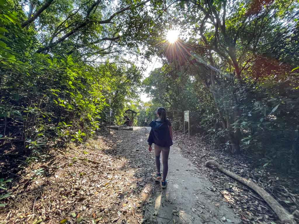
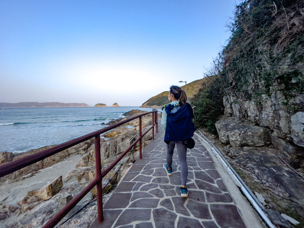
134 hike trail start: Pak Tam Au

pak tam au trail start sai kung hong kong 一尖三咀過四灣 - laugh travel eat

The trail starts for 134 hike is the same as Sharp Peak, at Pak Tam Au on MacLehose Trail Section 2. Since this is inside the Sai Kung Geopark area, you can only get there by public transport or taxi. Taxi is the fastest way, which might be the best choice simply because you’re pressed for time for this hike.

But here are the public transport options:

  • Bus 94 from Sai Kung to Wong Shek Pier
  • Minibus 7 from Sai Kung to Hoi Ha (although you’d need to tell the driver when to let you off)
  • Bus 289R from Shatin to Wong Shek Pier (only on weekends and public holidays)

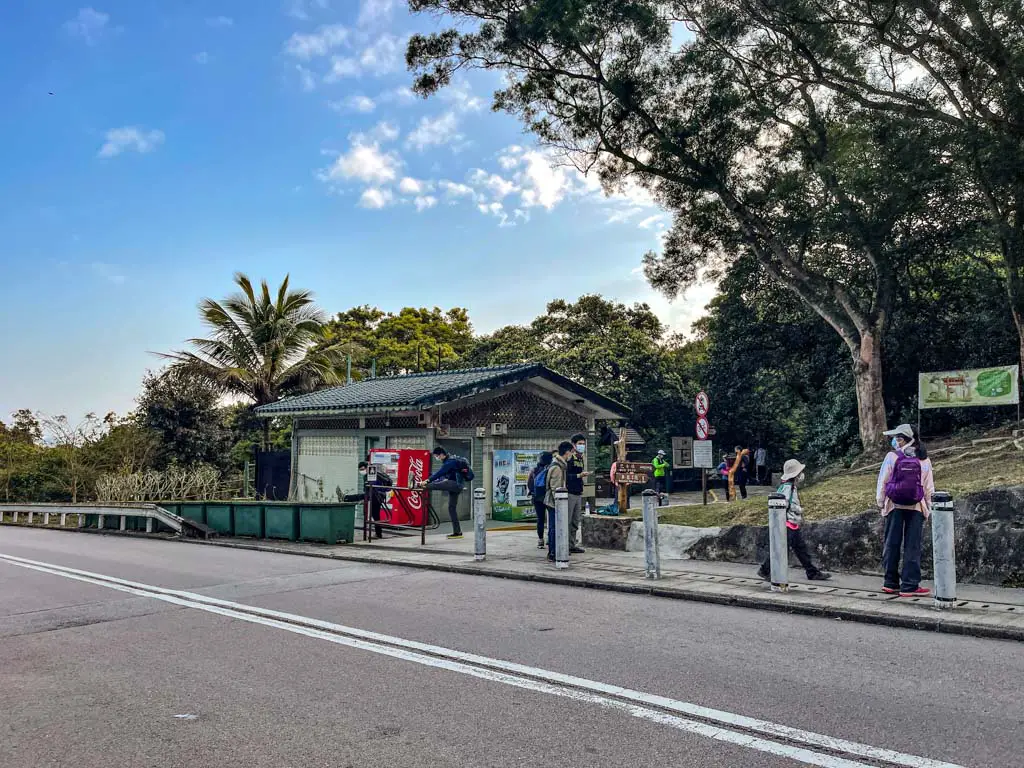
There is a public bathroom and vending machine at Pak Tam Au, and it’s the last clean bathroom before we reach Sai Wan.

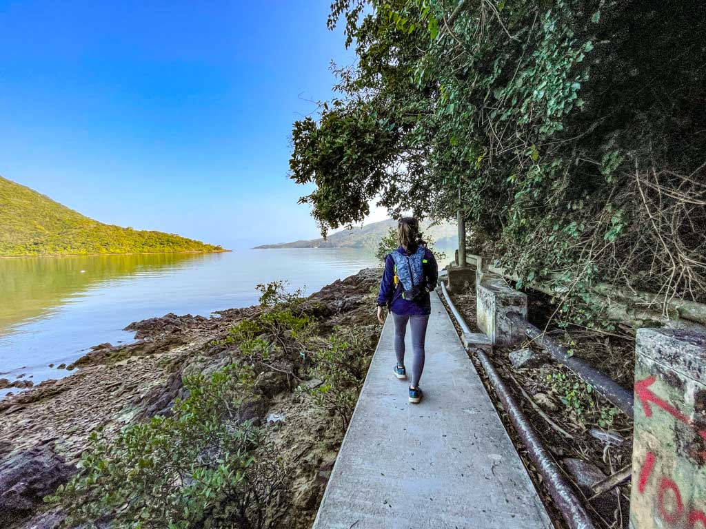
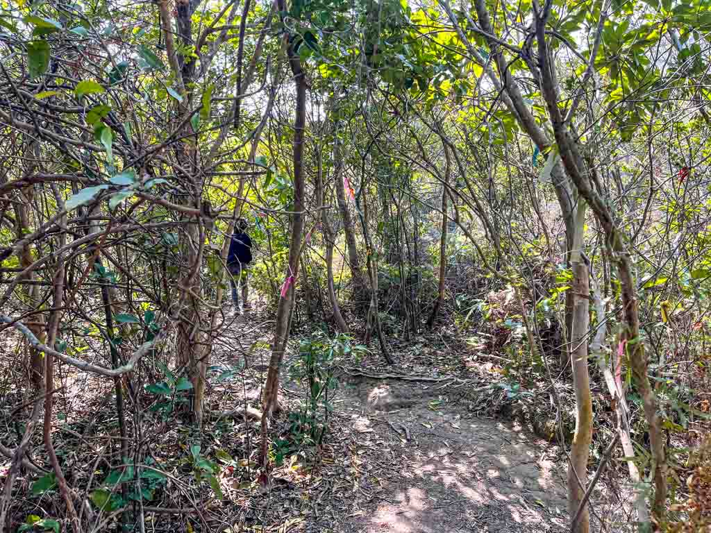
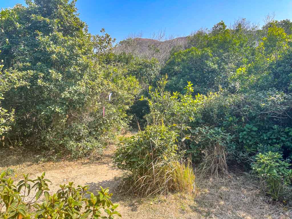
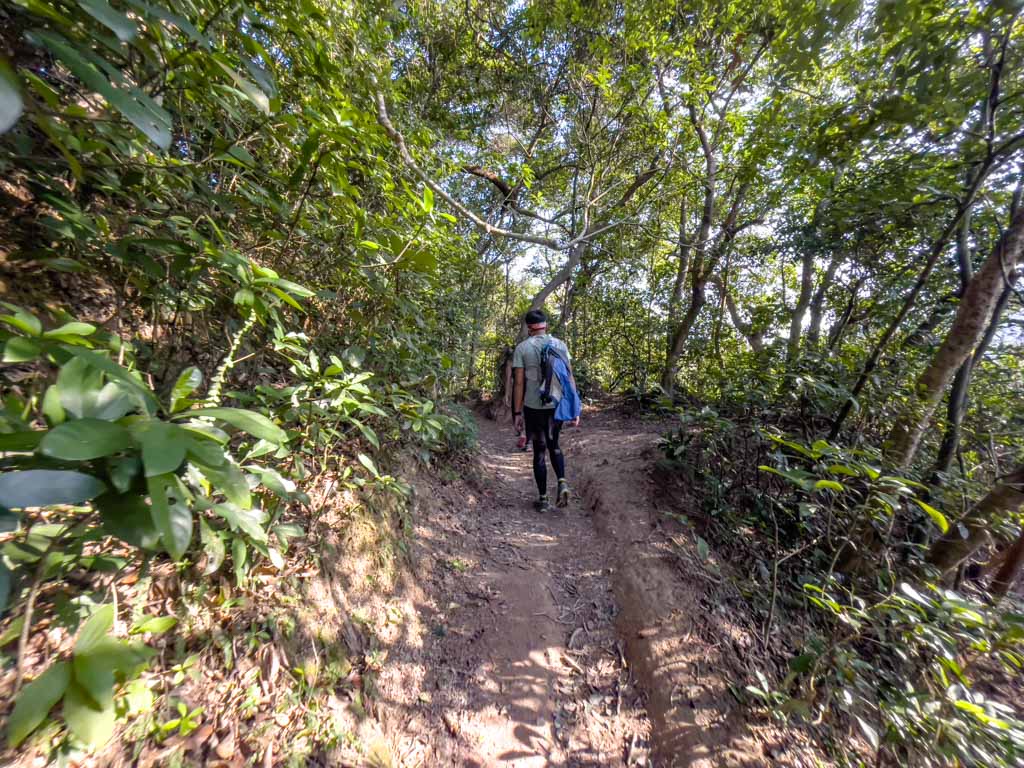
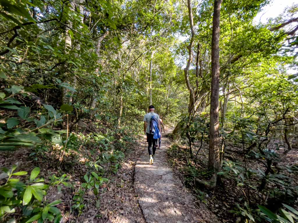
Pak Tam Au to Chek Keng Village on MacLehose Trail Section 2

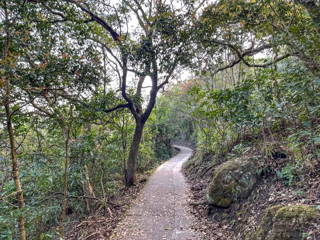
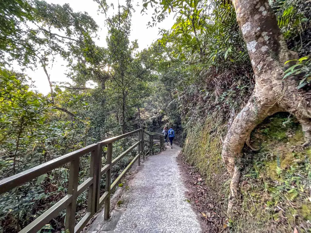
The start of the MacLehose Trail Section 2 to Chek Keng Village is also known as Chek Keng, which means the ‘red trail. It’s paved and relatively flat, which makes for a nice warm-up and walk.

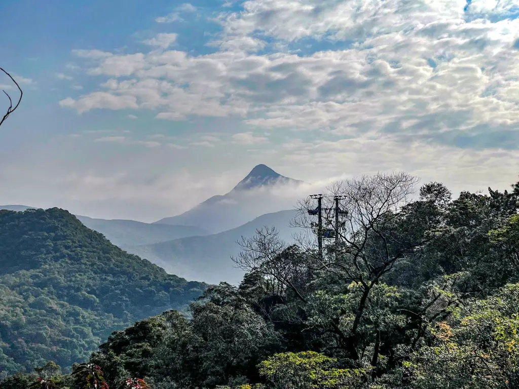
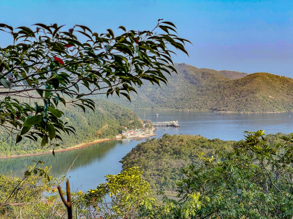
You can catch a glimpse of Sharp Peak and we were lucky enough to see clouds hanging onto it in the morning. We also spotted Wong Shek Pier, too!

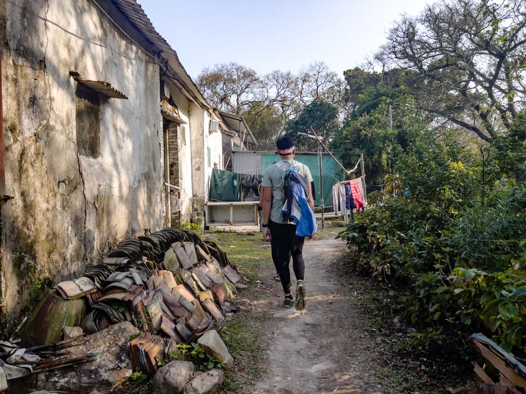
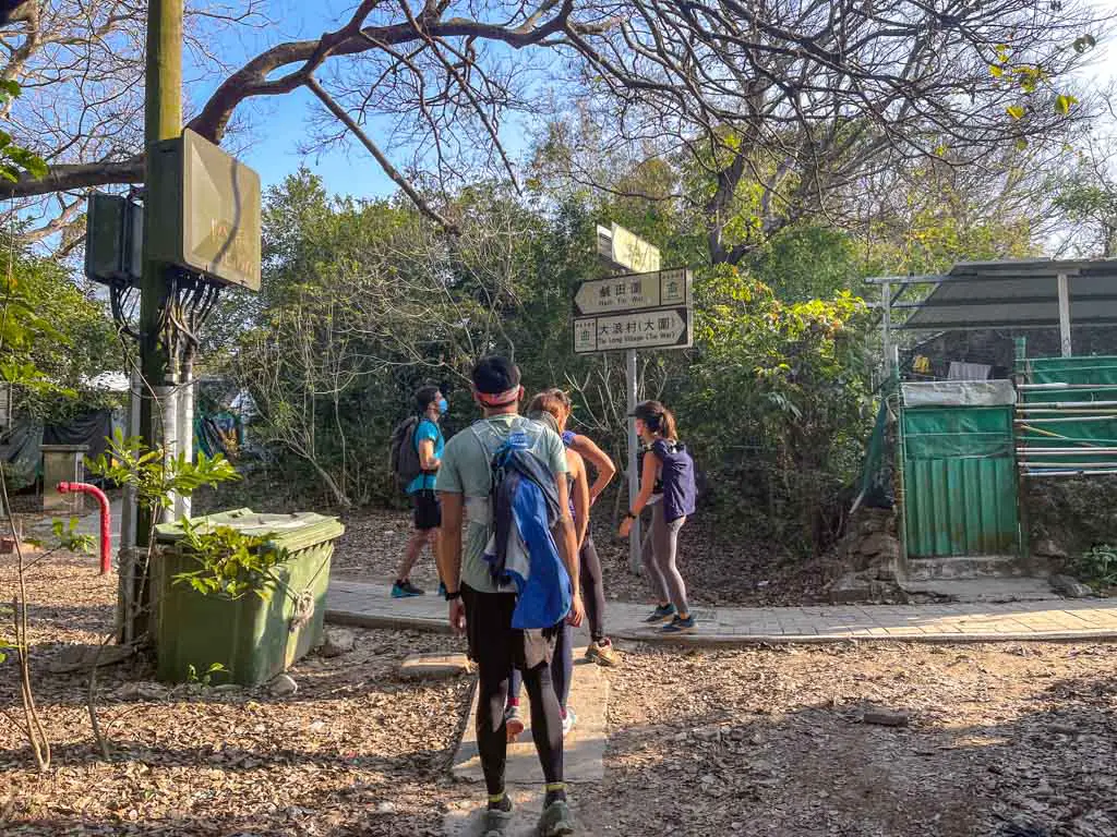
Chek Keng Village to Tai Long Au

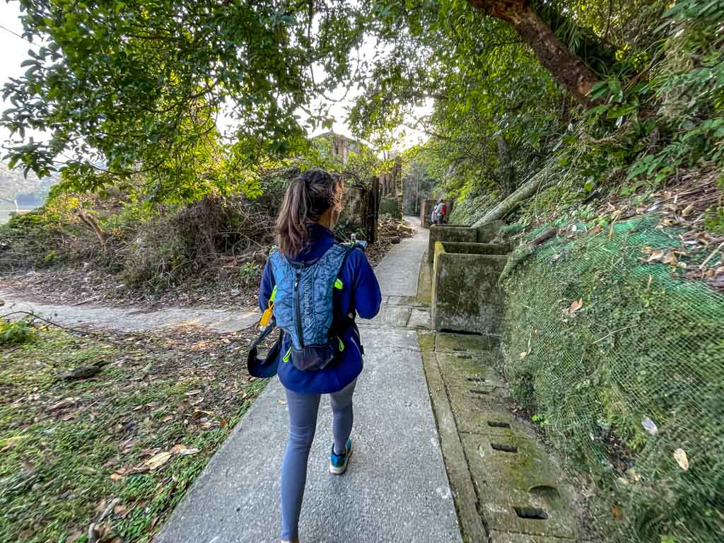
There is another public bathroom at Chek Keng Village as well as a small cafe/shop, but since this hike is time-sensitive, there’s no time to stop to have breakfast. The bathroom here is also not as clean.

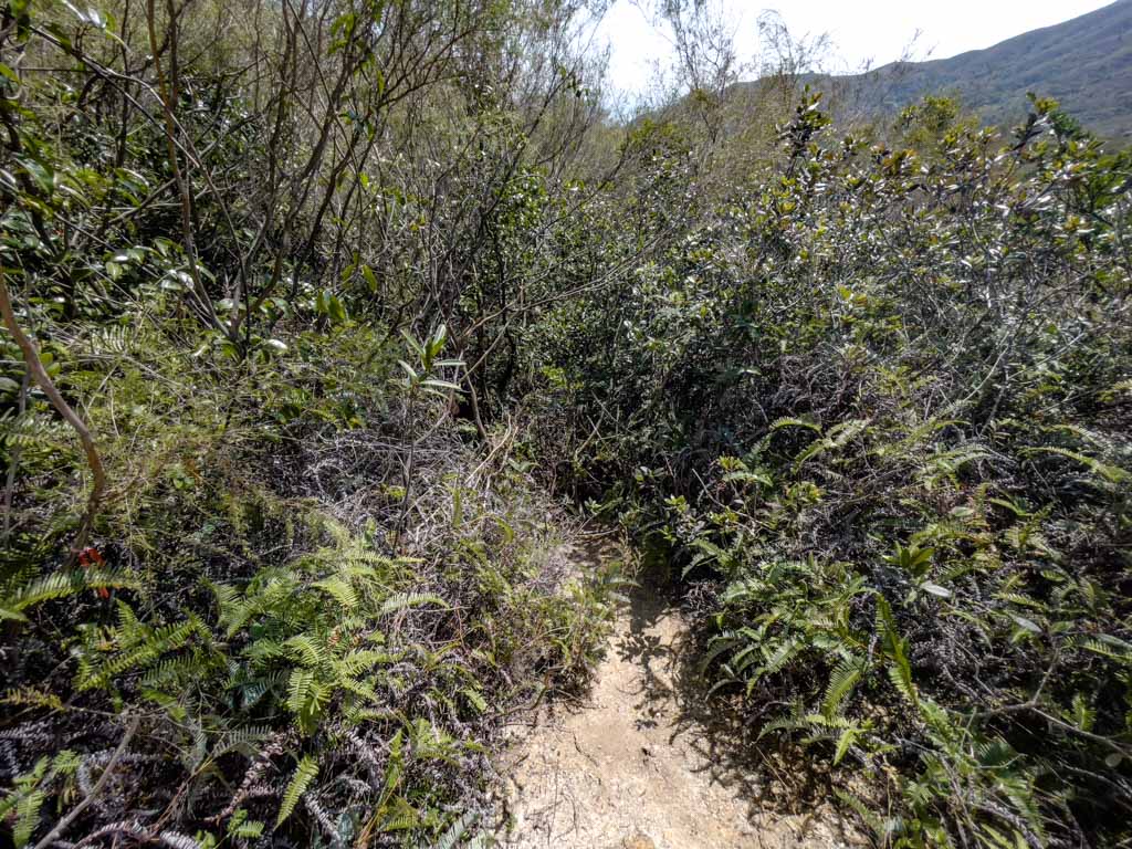
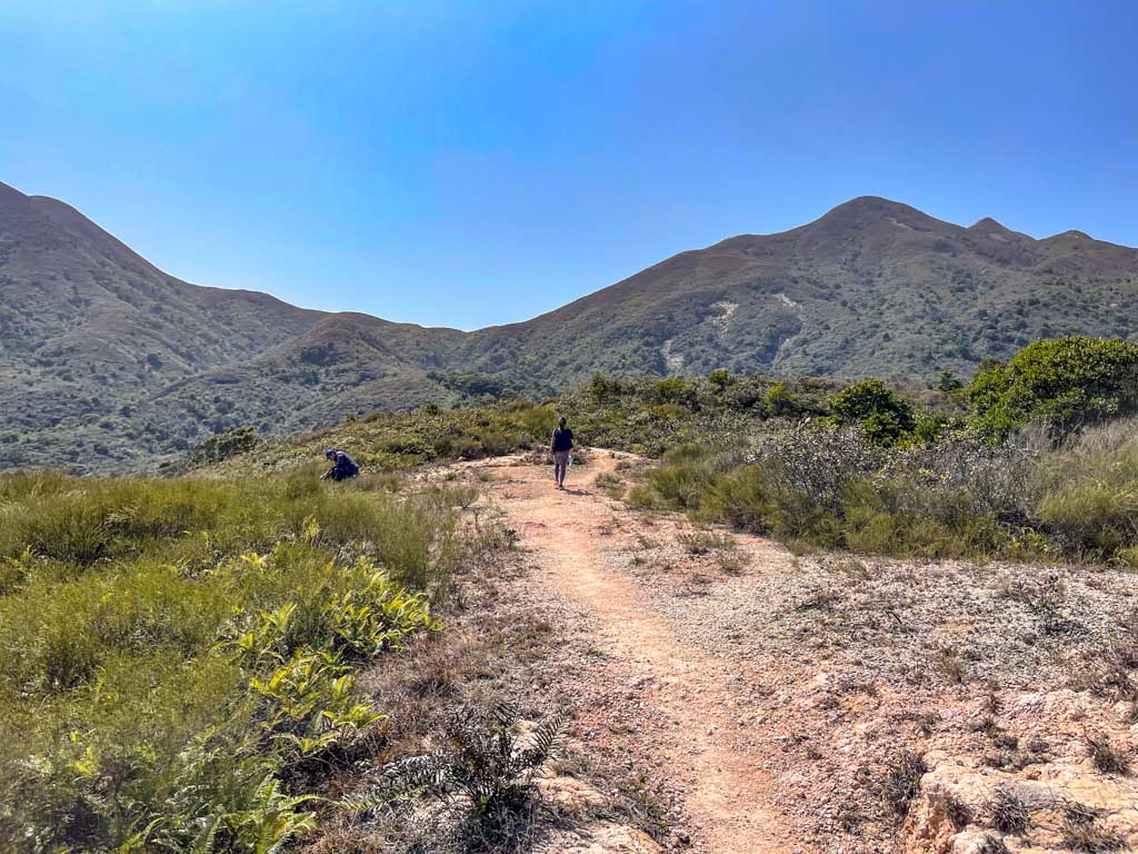
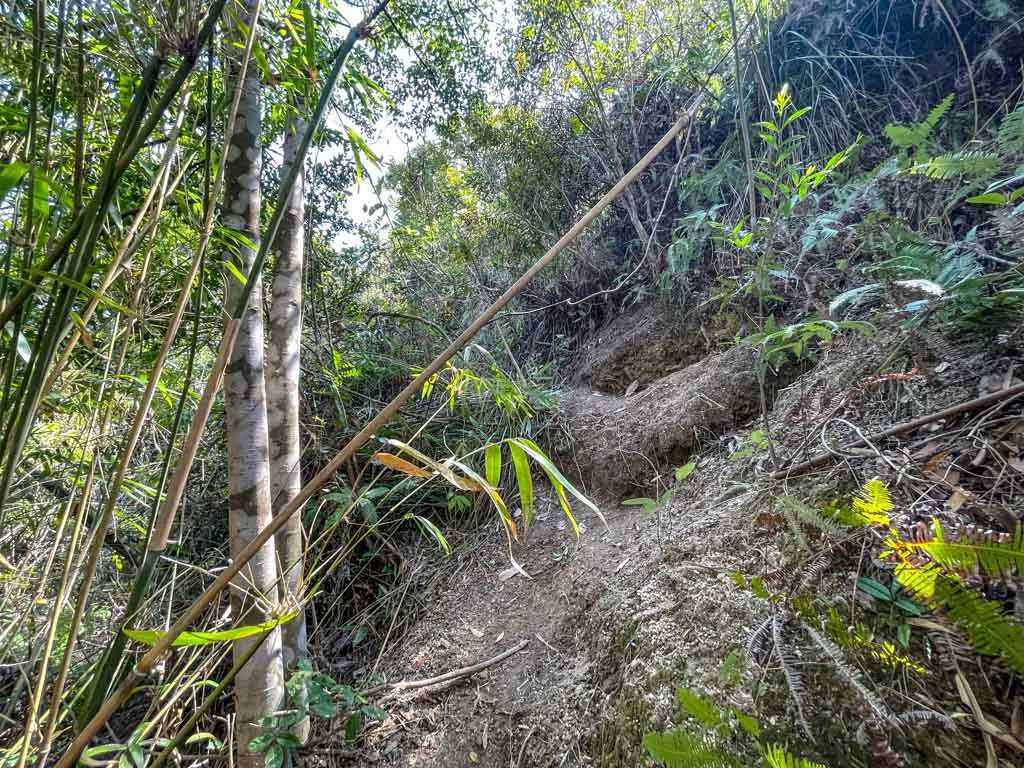
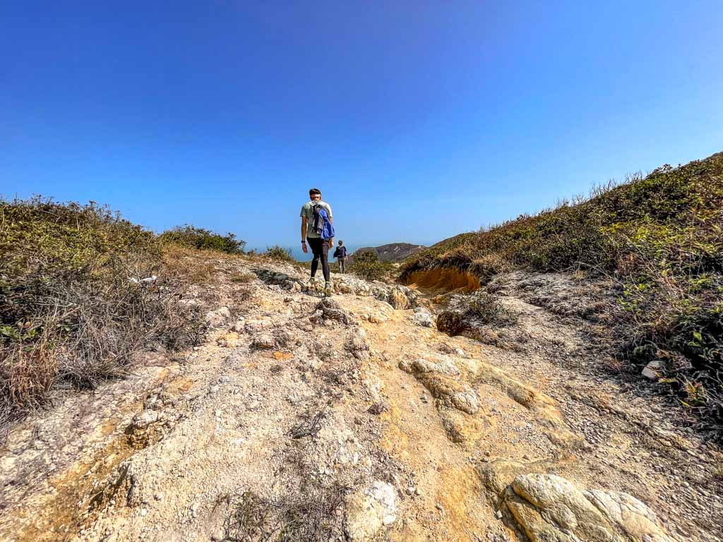
Once you cross the bridge, the trail becomes much steeper and it’s the final stages of warm-up until we reach Tai Long Au. This is where MacLehose Trail Section 2 intersects with the trail that goes up to Sharp Peak.

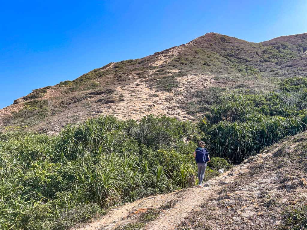
Tai Long Au to Sharp Peak

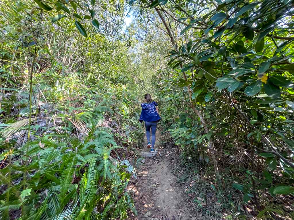
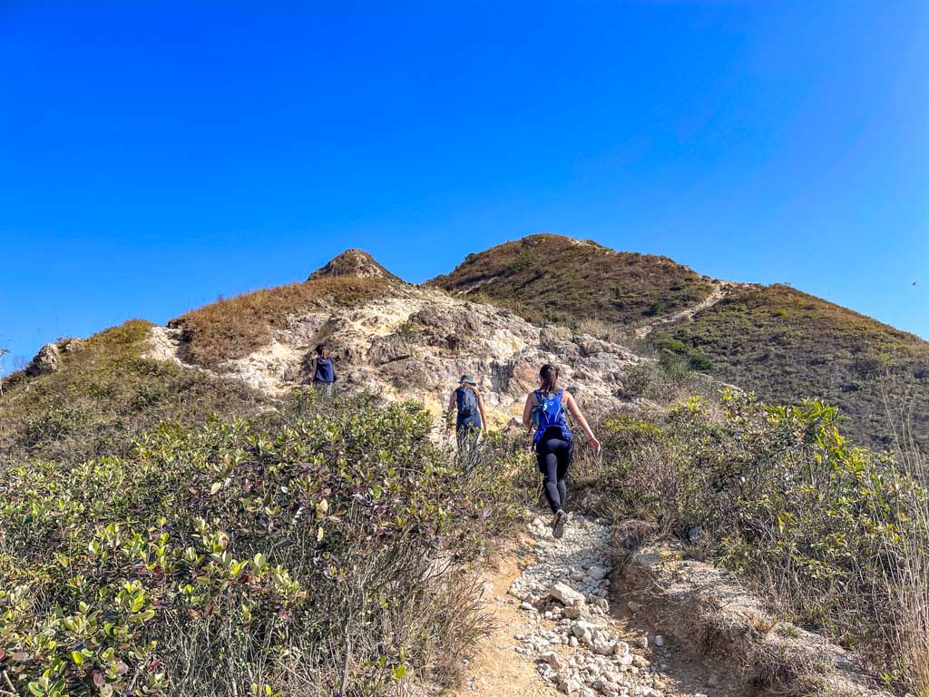
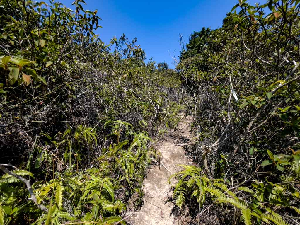
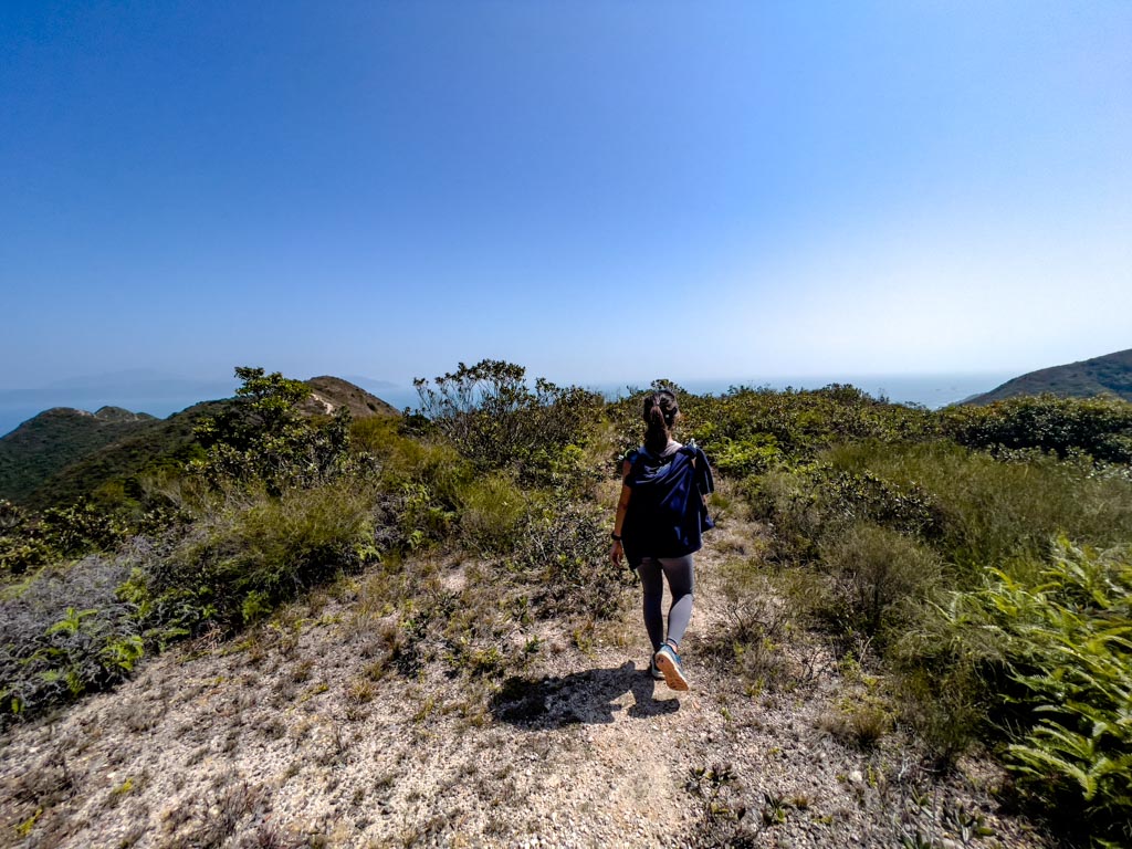
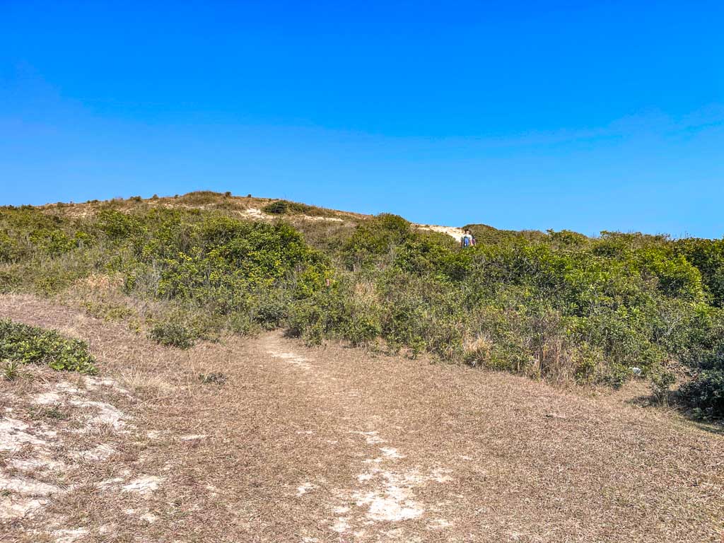
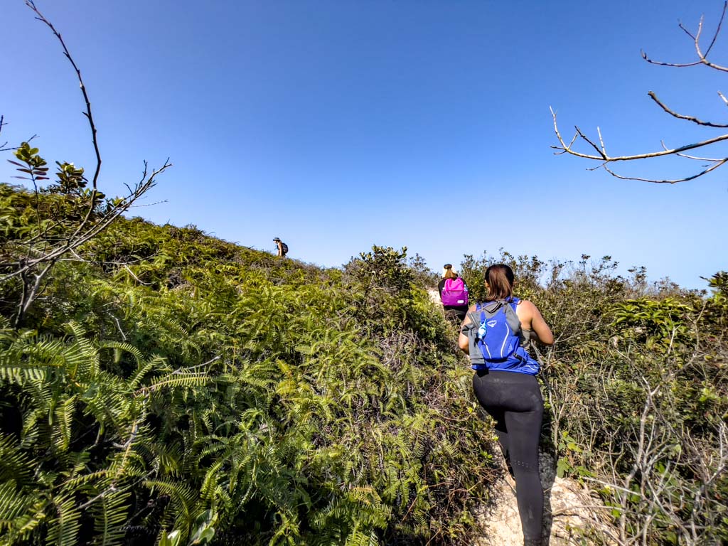
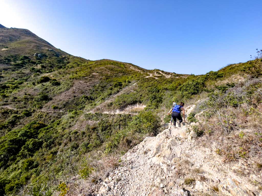
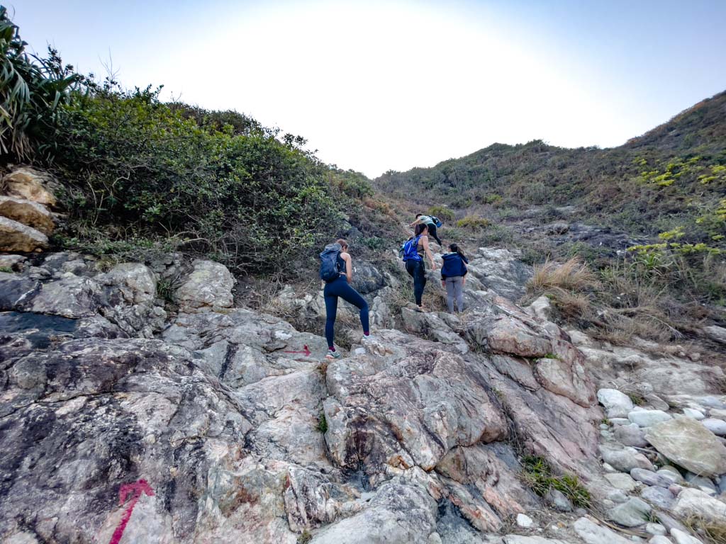
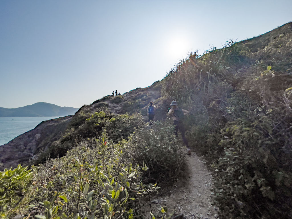
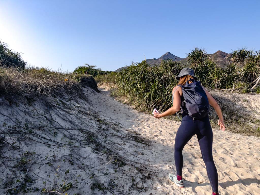
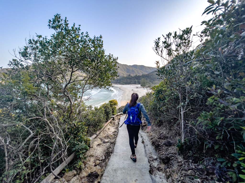
Take the stairs up at Tai Long Au and it’s a short stint in-between the trees before we are back in the open again.

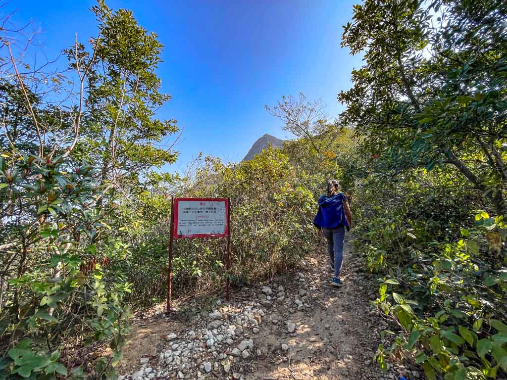
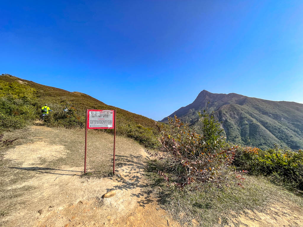
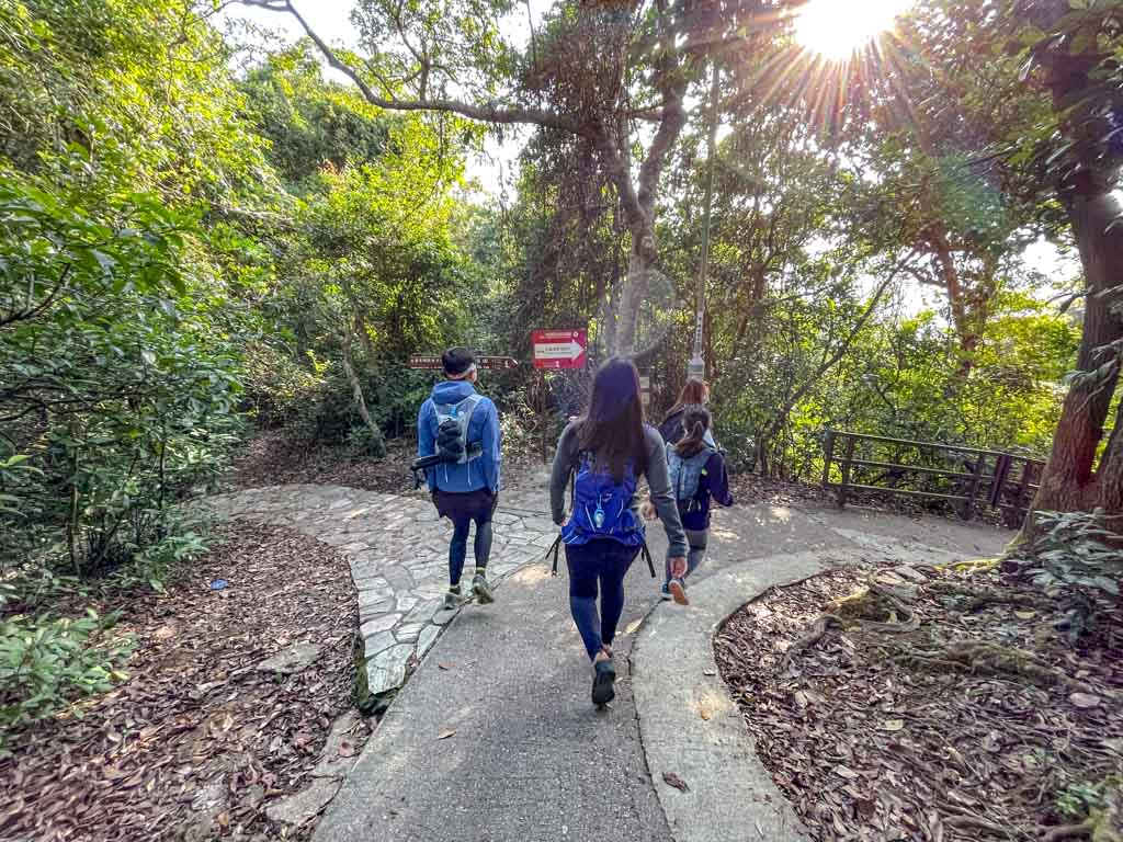
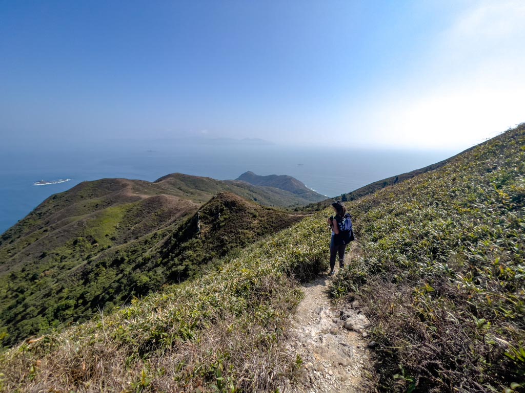
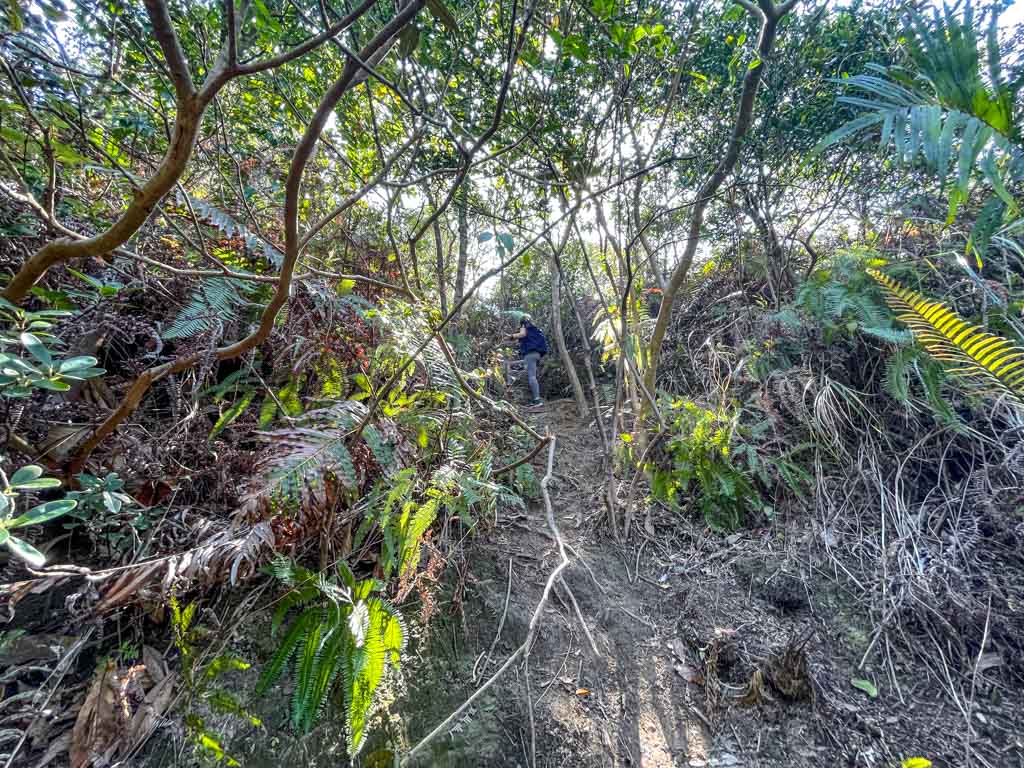
We passed through signs that warn about the danger of carrying on the hike, just keep going and take the trail to the right towards Sharp Peak at the second one.

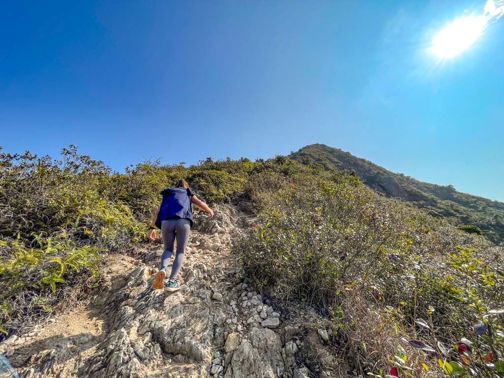
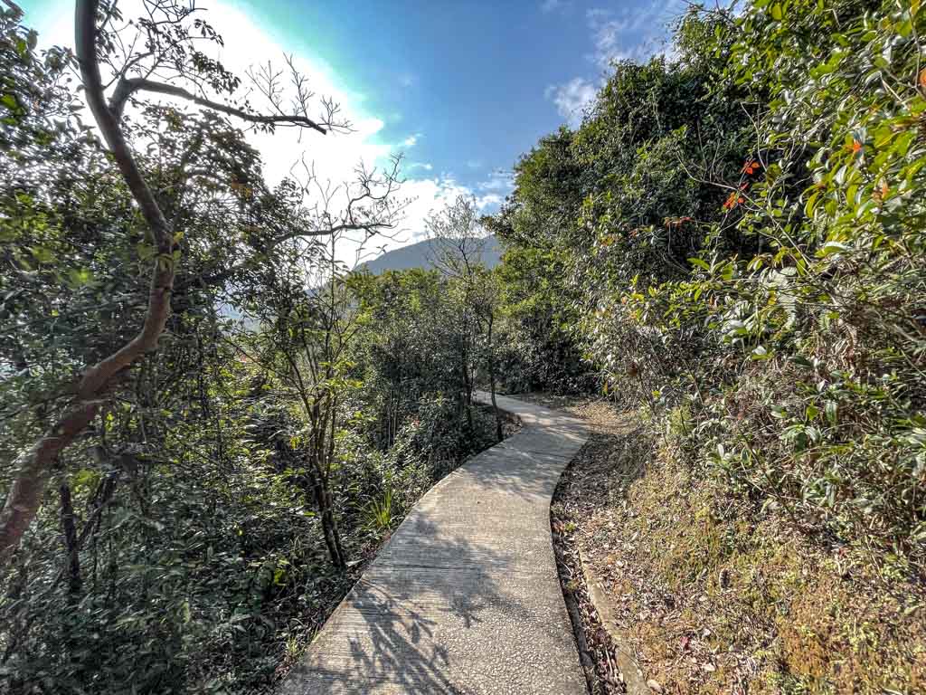
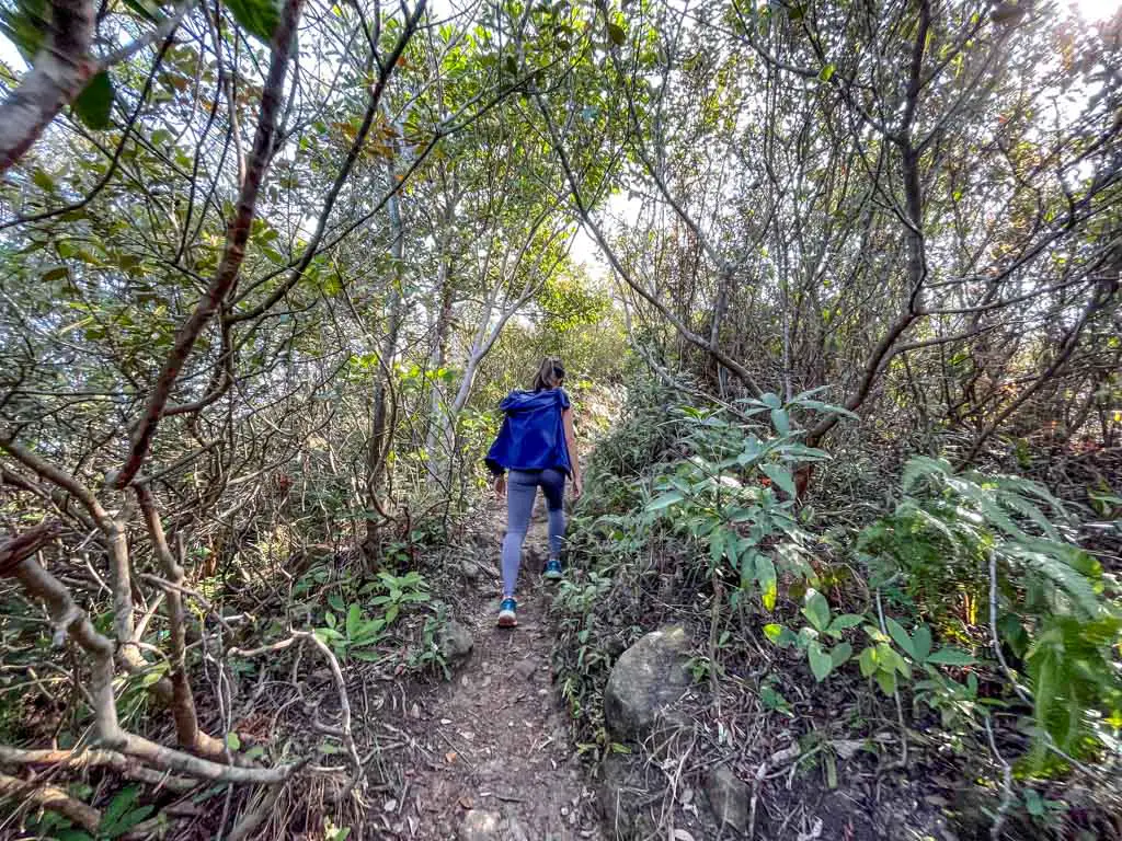
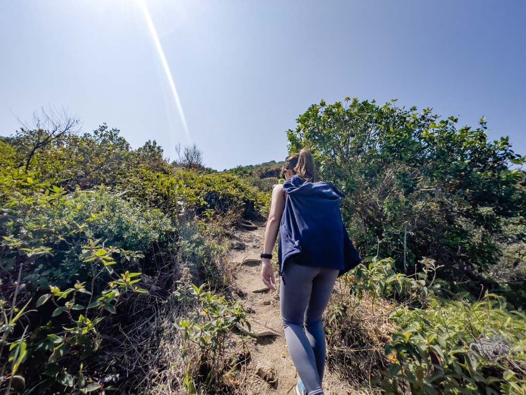
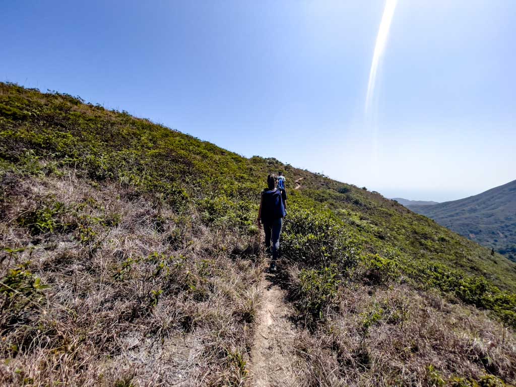
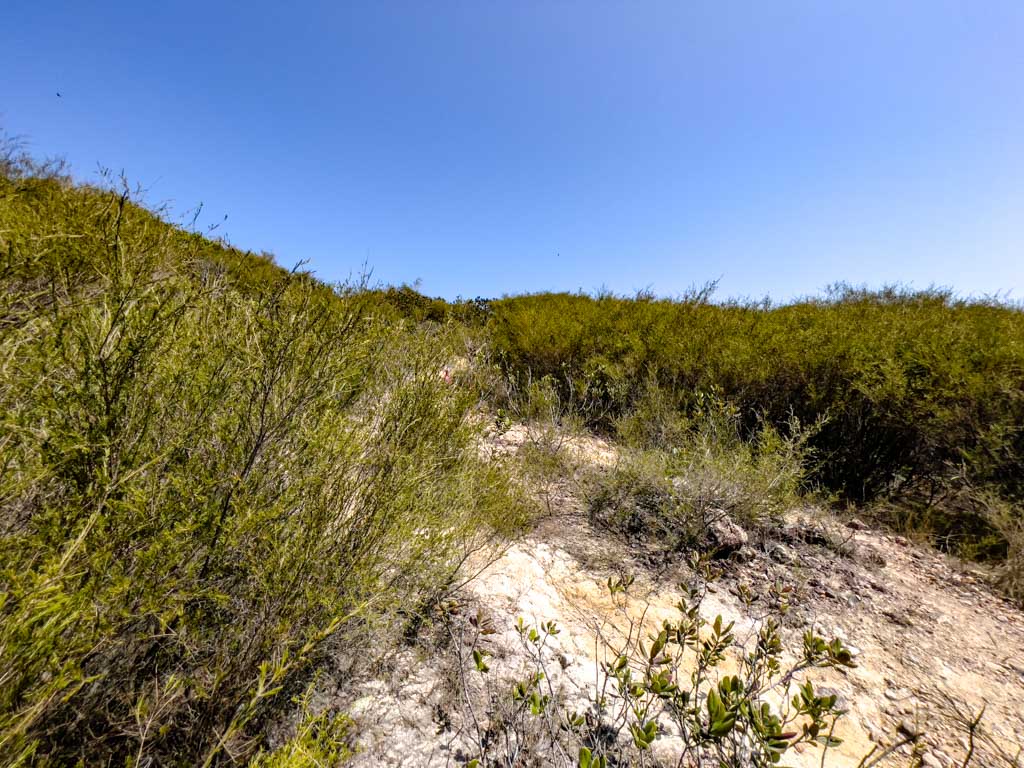
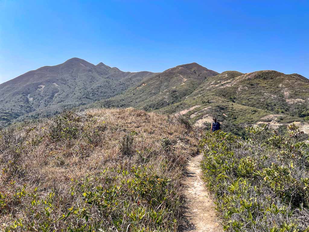
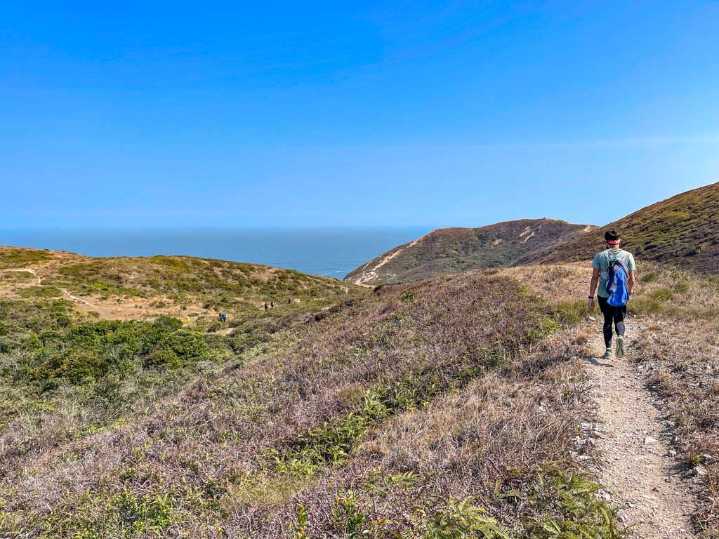
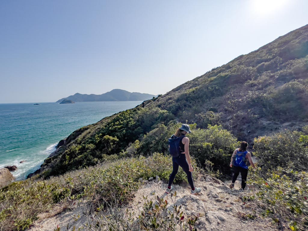
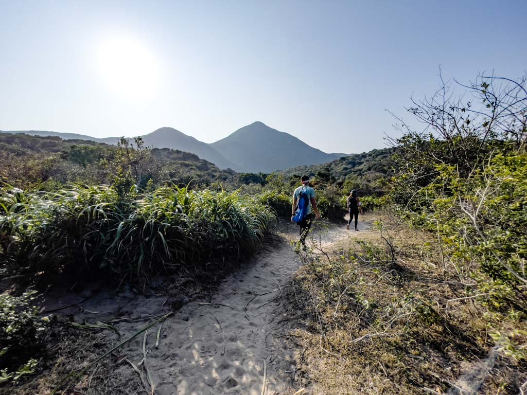
It’s a relatively flat trail that steadily grows wider and more slippery, then we have to climb up.

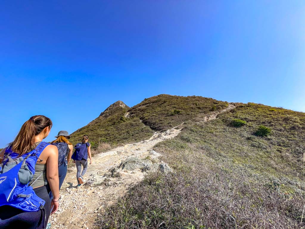
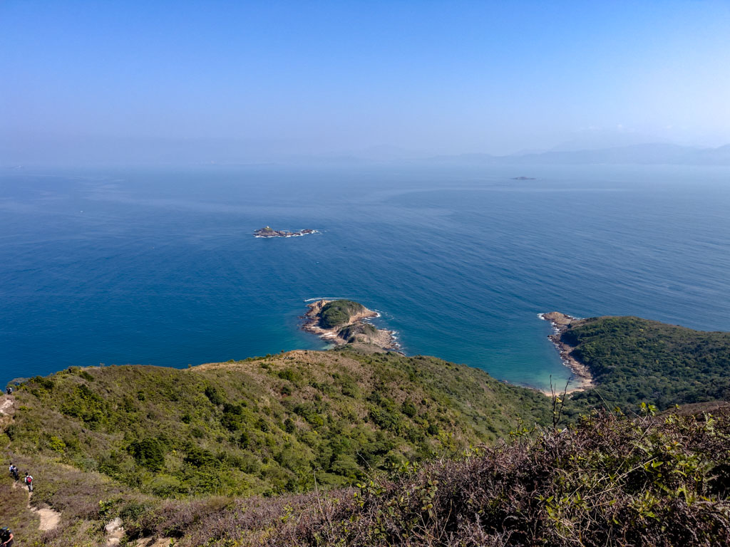
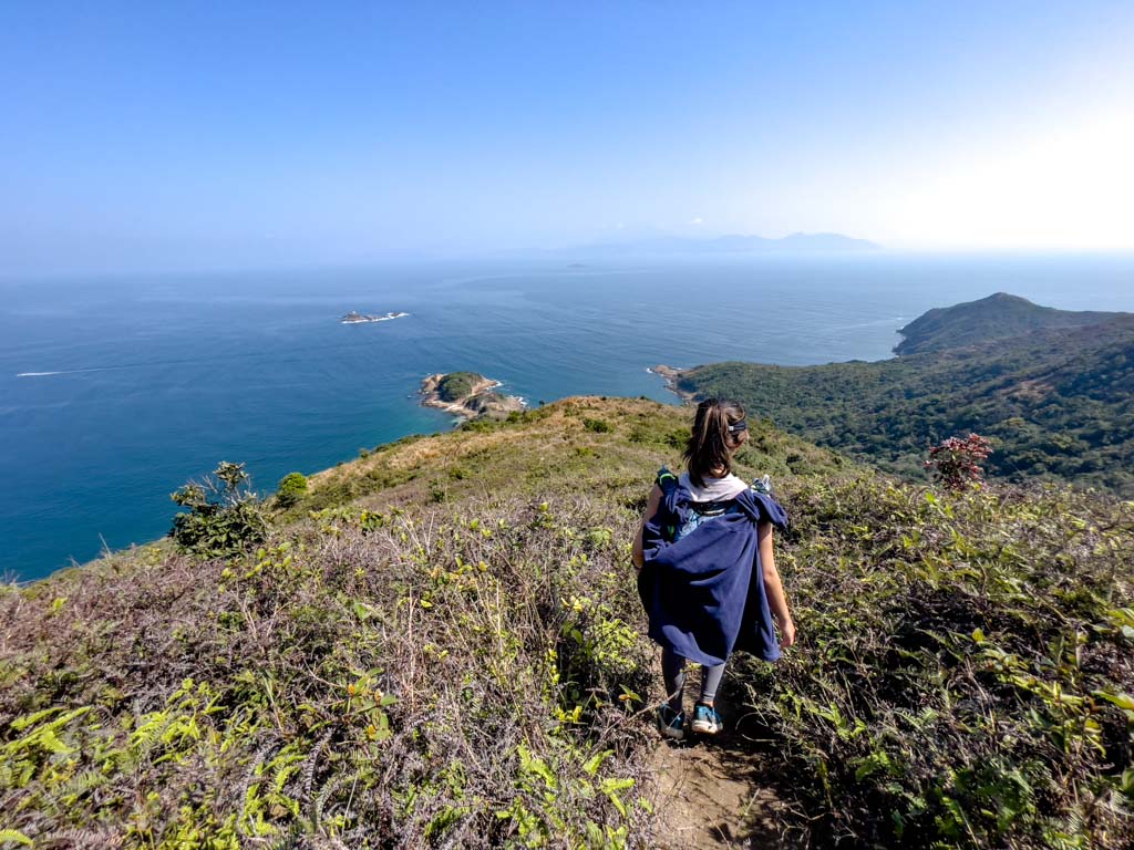
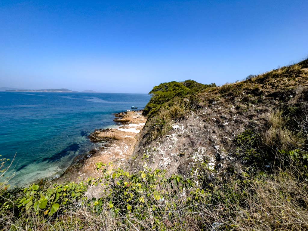
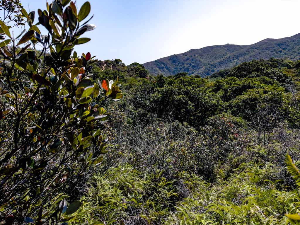
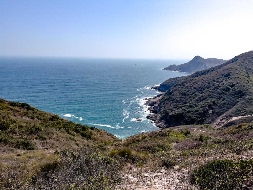
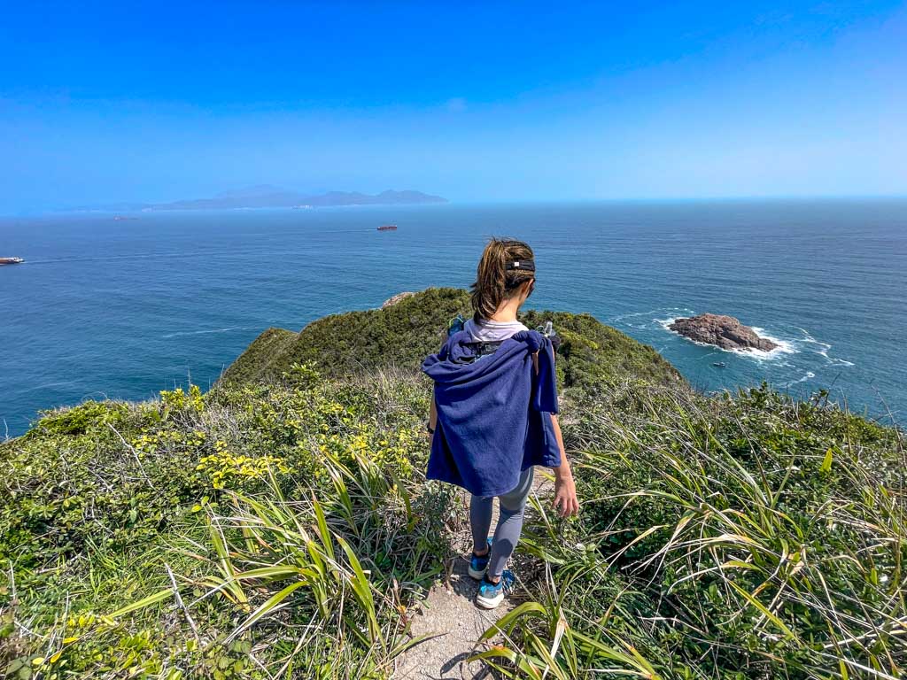
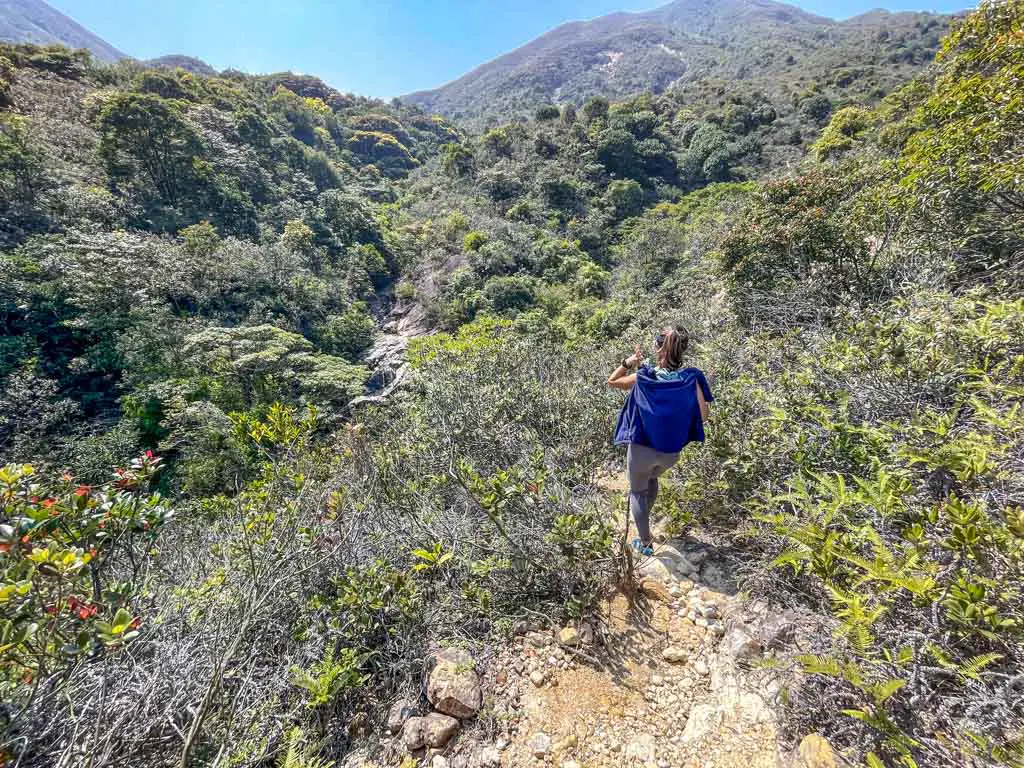
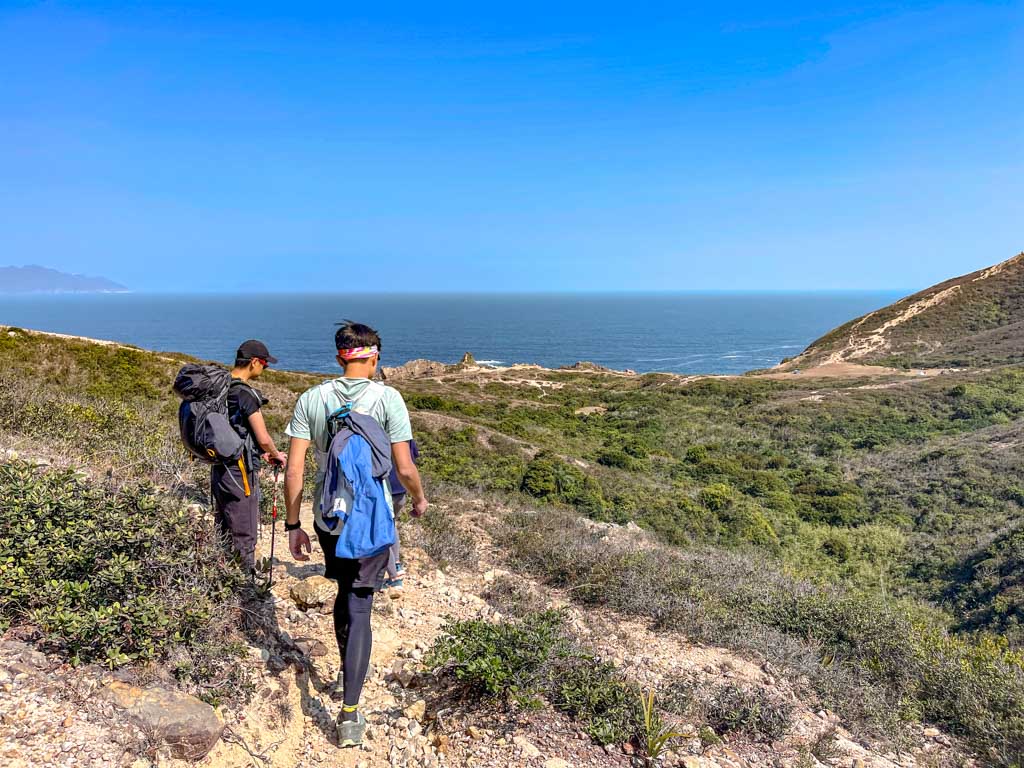
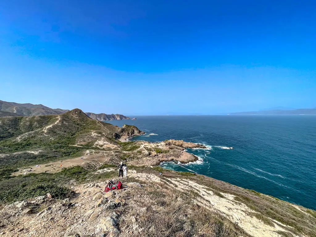
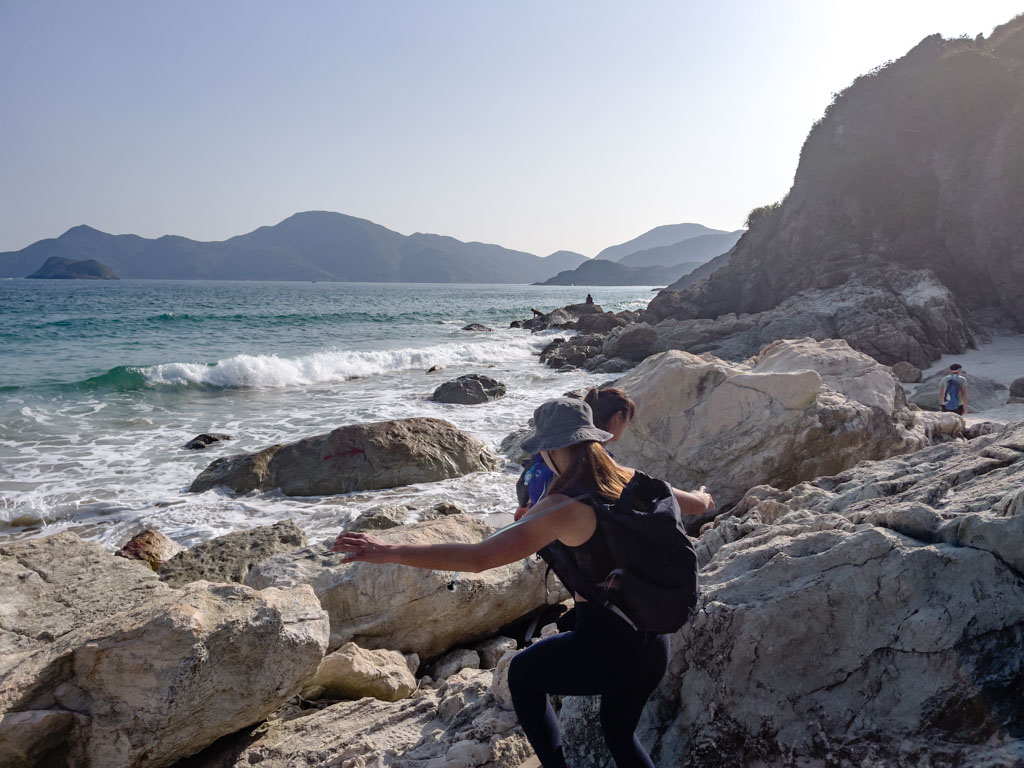
If you need a break, there’s a great view of 2 of the peninsulas and 3 of the beaches to the right!

tai wan and ham tin wan view tai long au to sharp peak part 2 sai kung hong kong 一尖三咀過四灣 - laugh travel eat

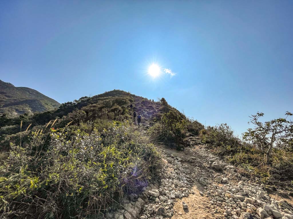
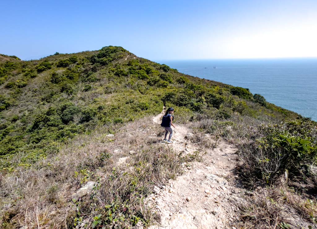
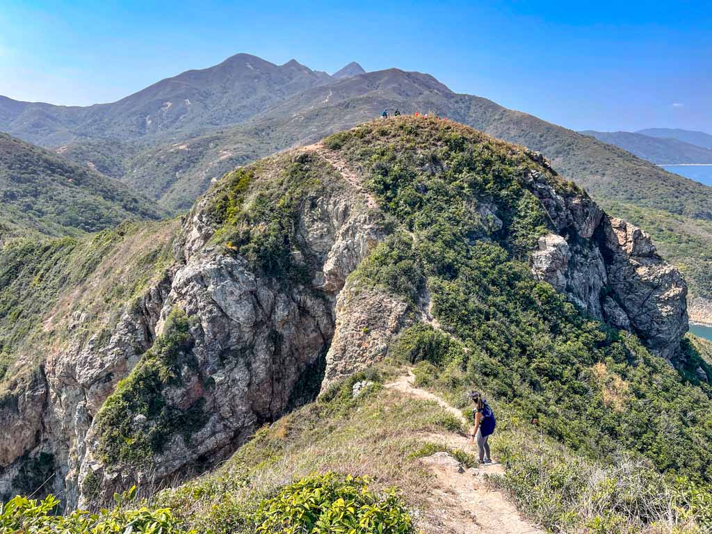
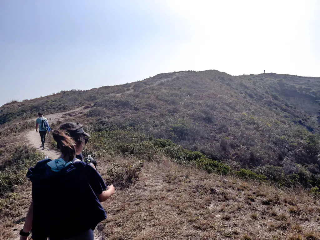
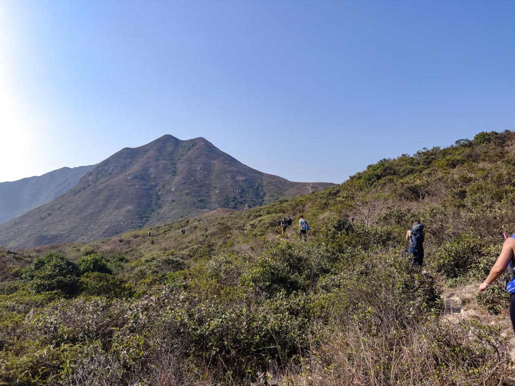
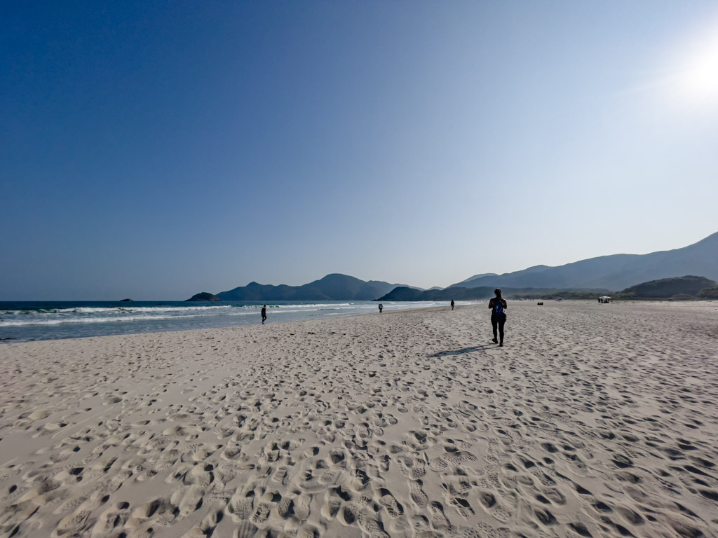
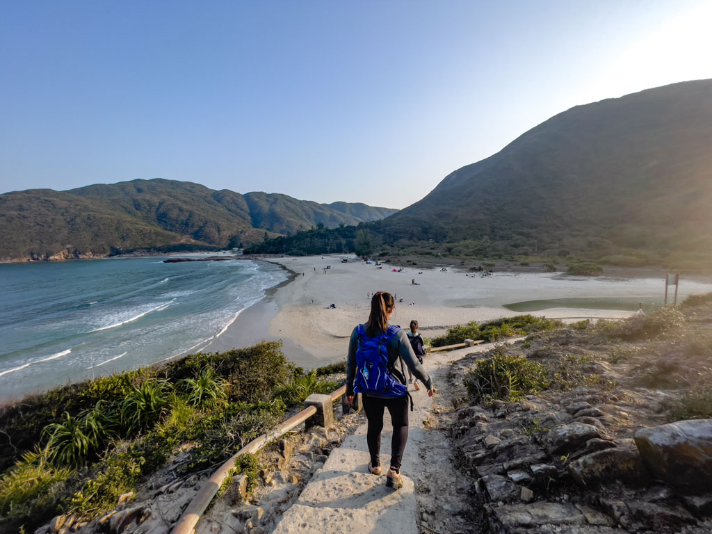
Sharp Peak 1hr45mins

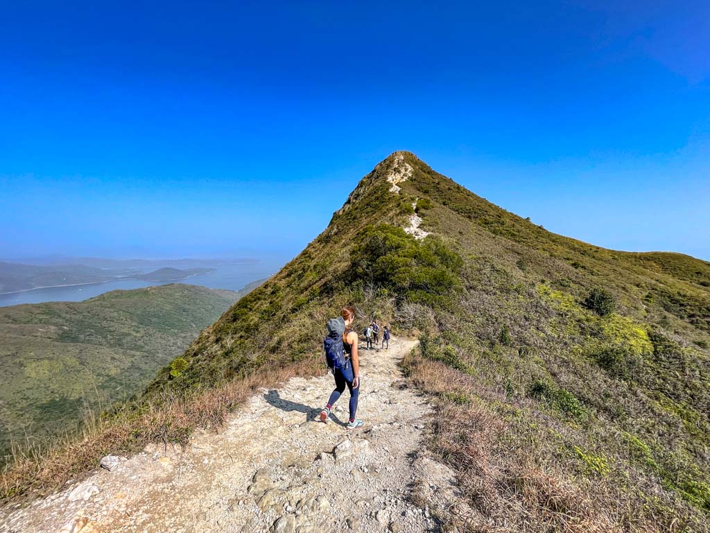
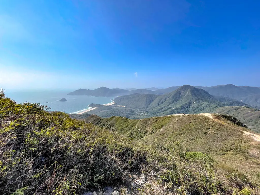
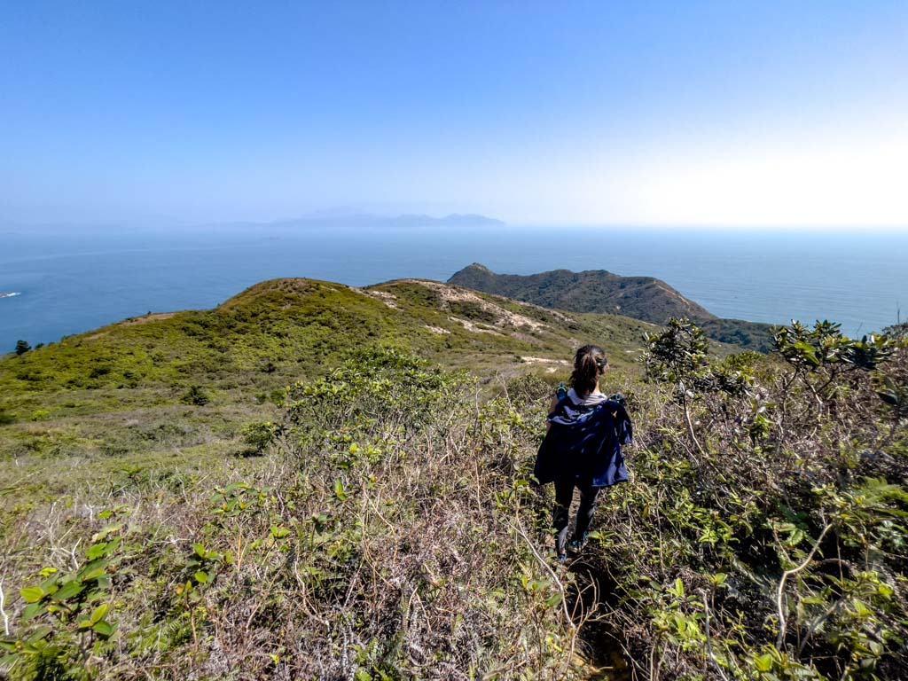
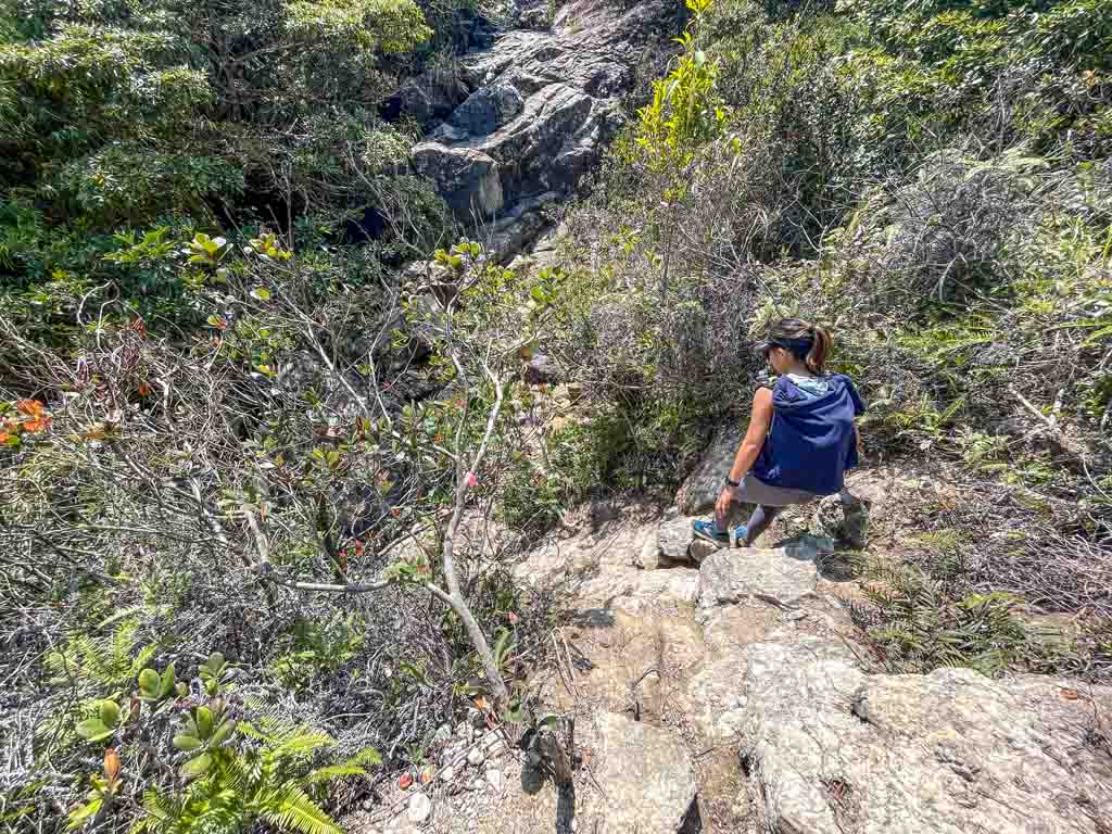
The top of Sharp Peak is usually quite crowded. We spent about ten minutes there taking some photos before descending, and this mark the end of the toughest part of the hike.

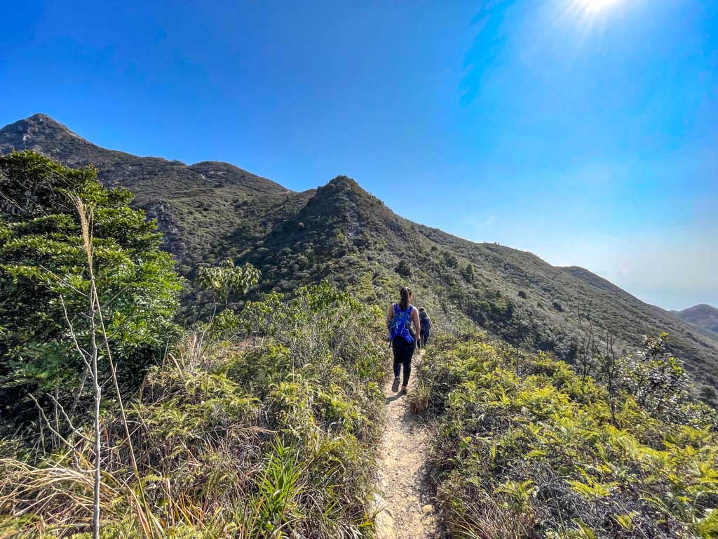
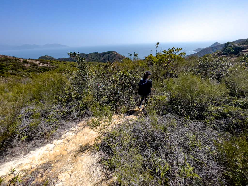
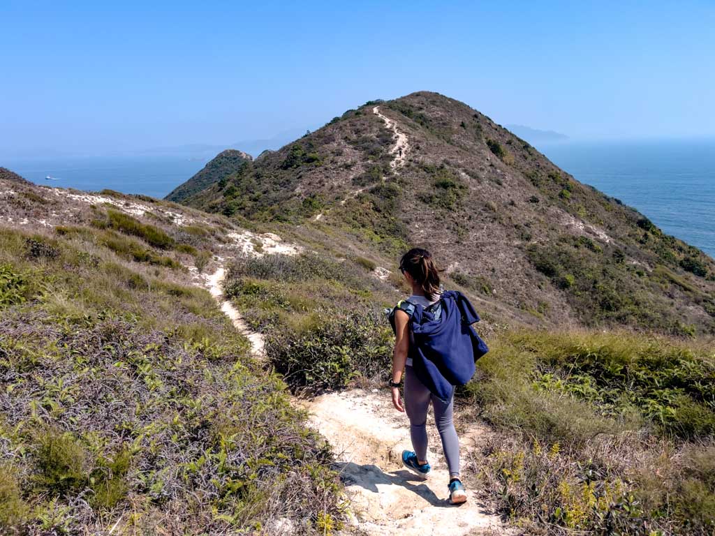
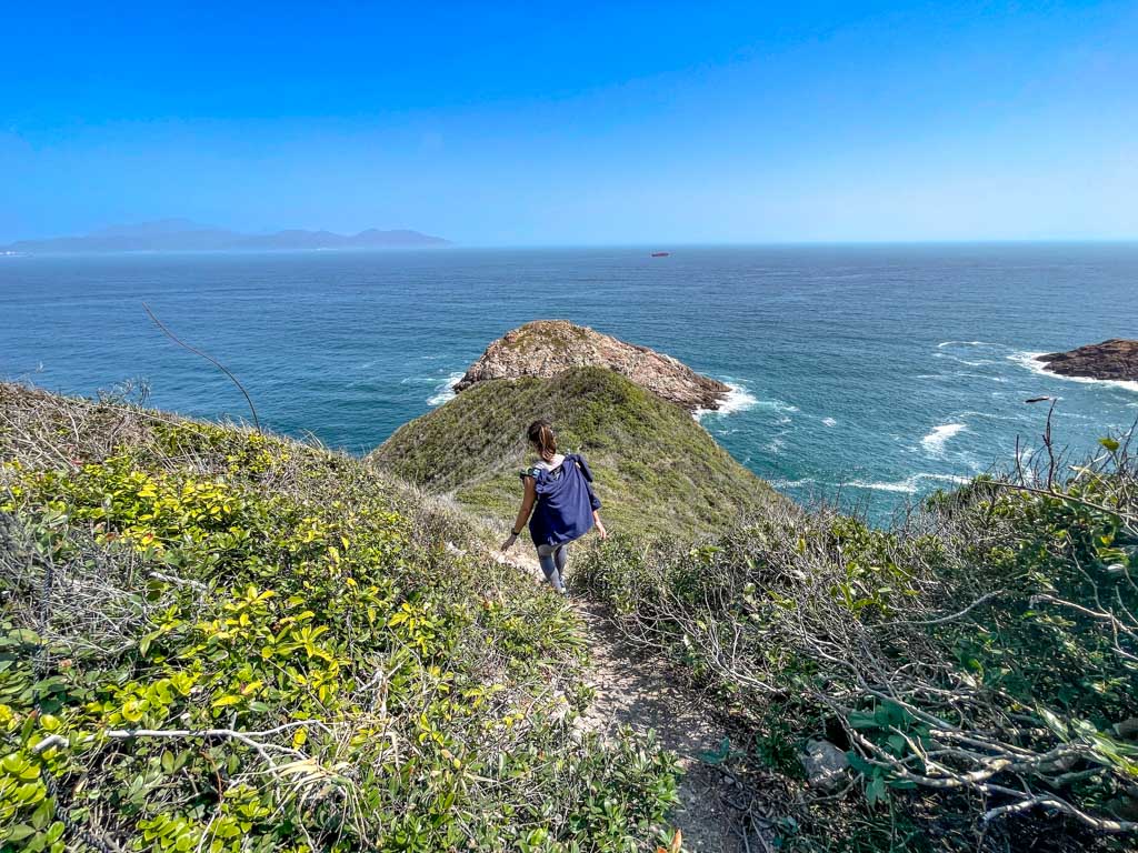
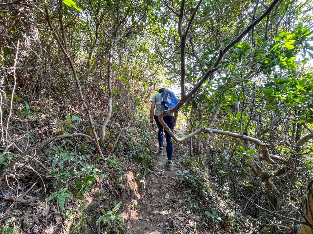
Once we go down, we head towards Mai Fan Teng but veer left before the trail goes up, since this isn’t part of the 134 and we wanted to save our energy.

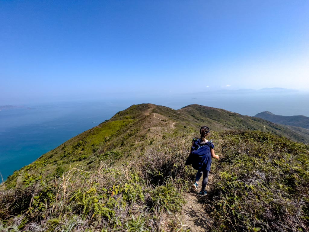
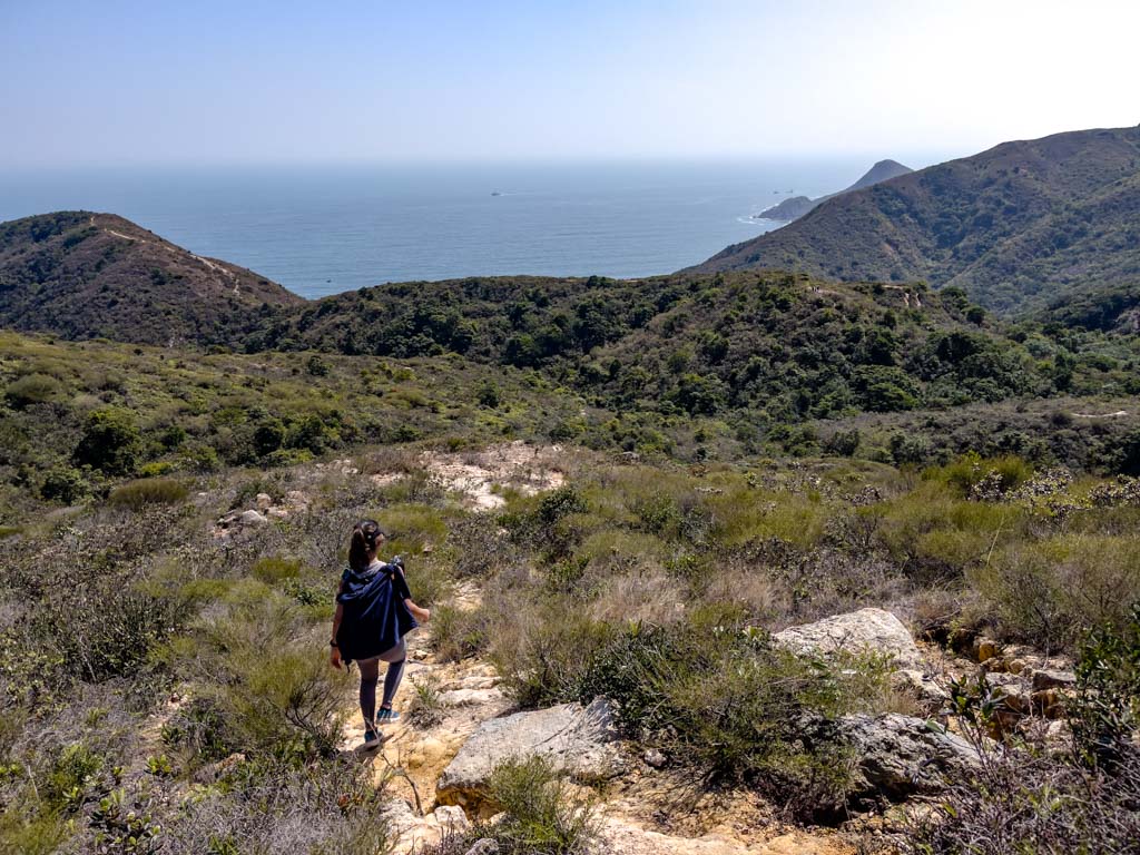
The trail takes us past a bend where we can see Wong Mau Chau from afar, and then it’s a clear view of the descent to Mai Fan Tsui. 

mai fan tsui and tuen tsui junction sai kung hong kong 一尖三咀過四灣 - laugh travel eat

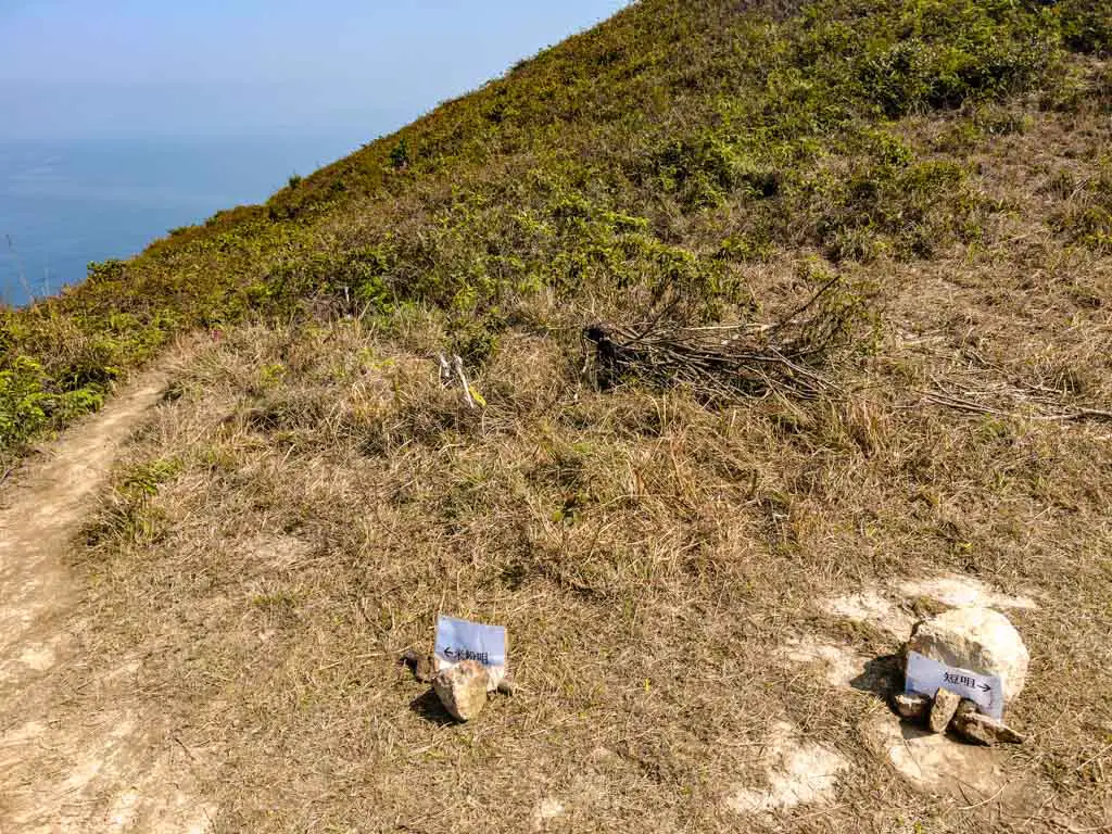
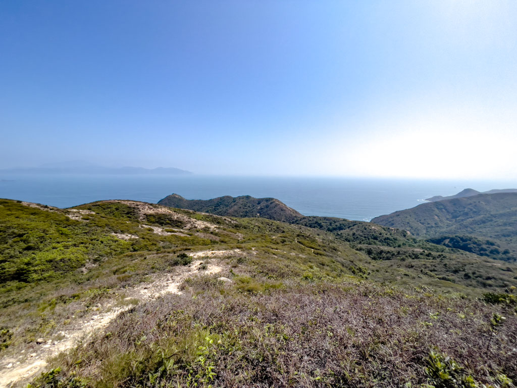
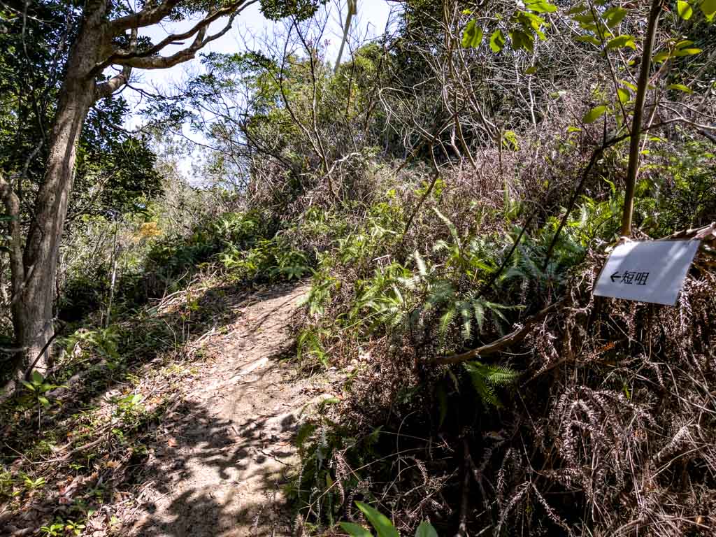
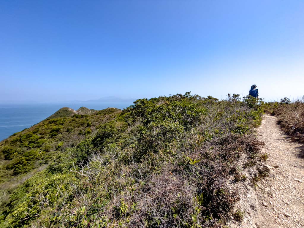
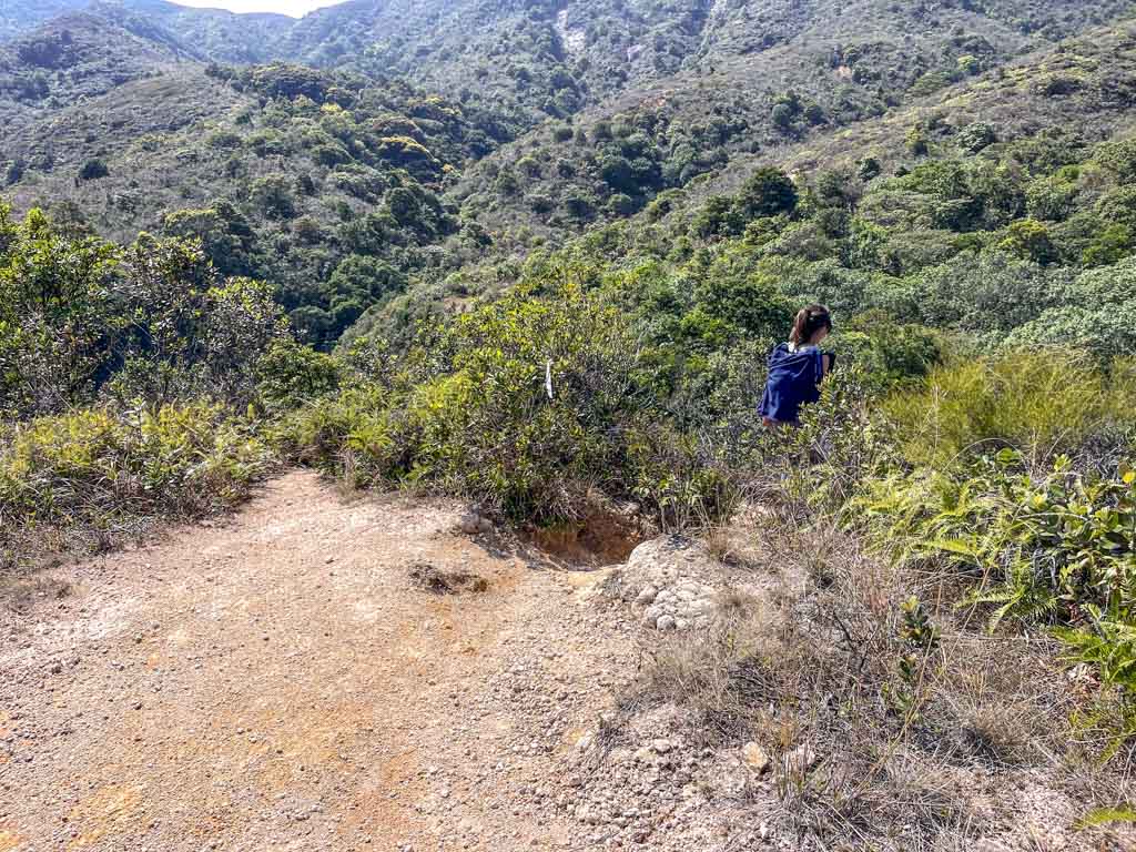
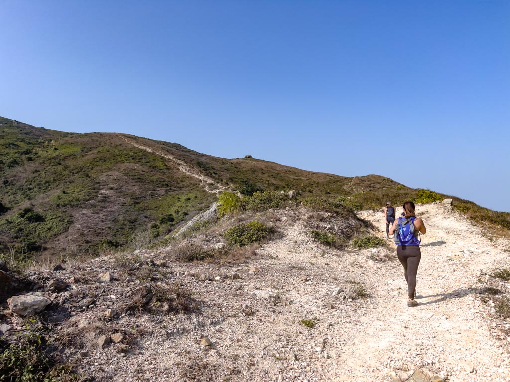
The junction between Mai Fan Tsui and Tuen Tsui is marked by two laminated papers pointing to respective trail set between small rocks on the ground – which is nice to have.

It is also higher than I’d like, although this does make the descent to Mai Fan Tsui more fun and easy. It was pretty slippery at certain places and I almost slipped twice. But overall, it was an easy trek down.

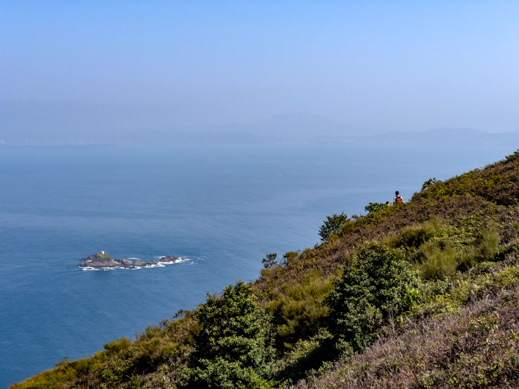
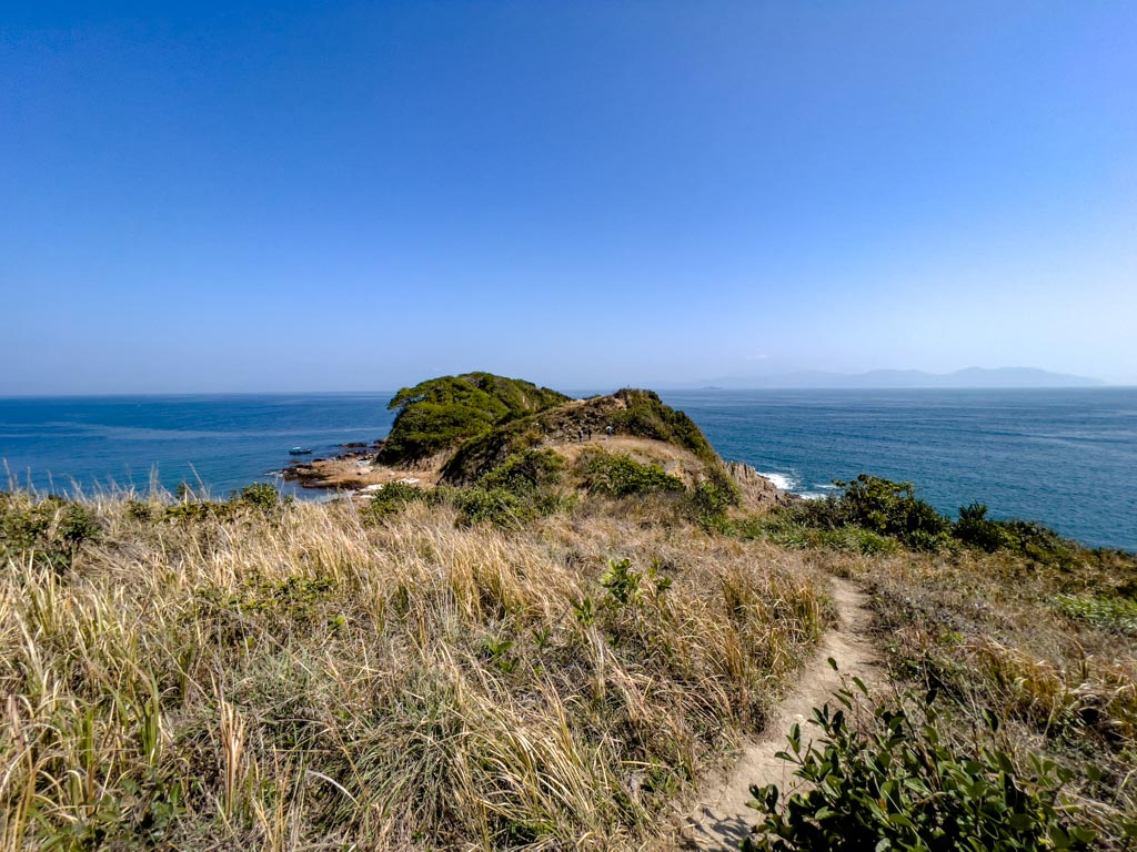
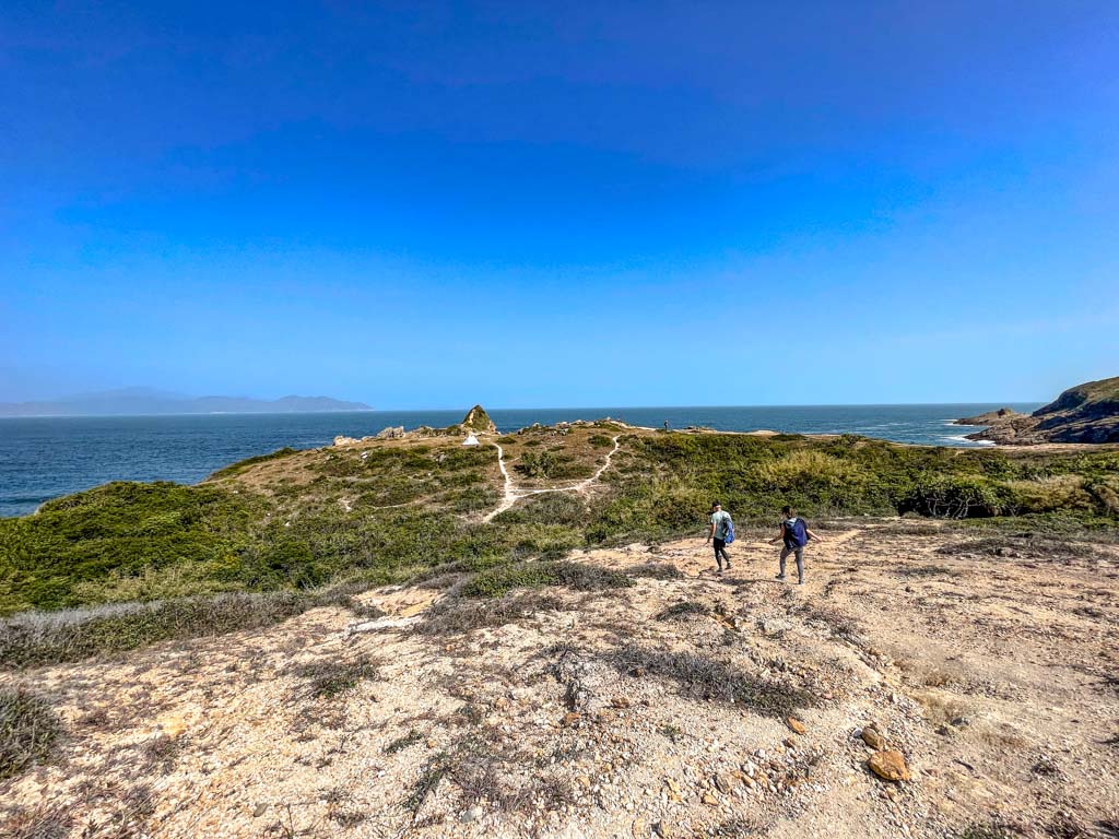
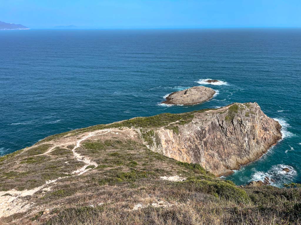
Mai Fan Tsui 2hr5mins

panorama at the end of mai fan tsui sai kung hong kong 一尖三咀過四灣 - laugh travel eat
panorama of the way we came

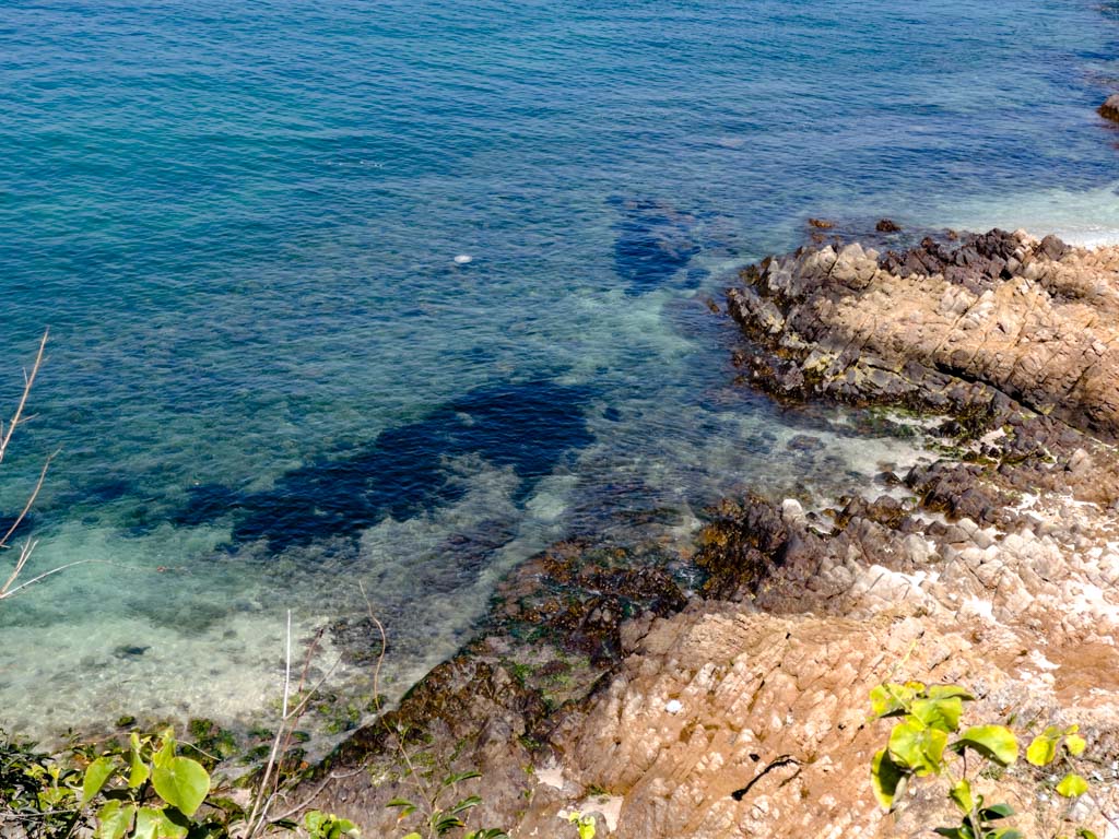
The tip of Mai Fan Tsui is a truncated island so we stopped where the trail sort of ends. You can go around by getting down to the coastline, but we decided that this was as good a place to turn around as any.

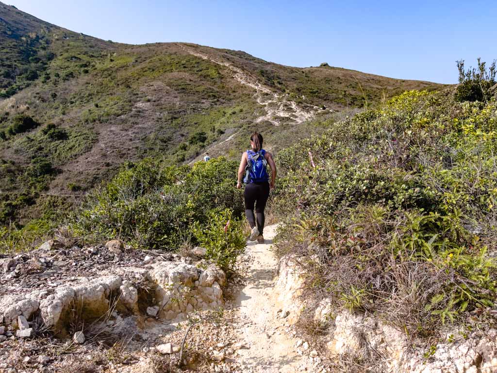
Going back up to the junction was the second hardest part of the trail and it’s best to try and get back up before midday, otherwise, the heat can get stifling.

Once you’re back at the junction, follow the sign on an easier downhill trail that is also a bit slippery.

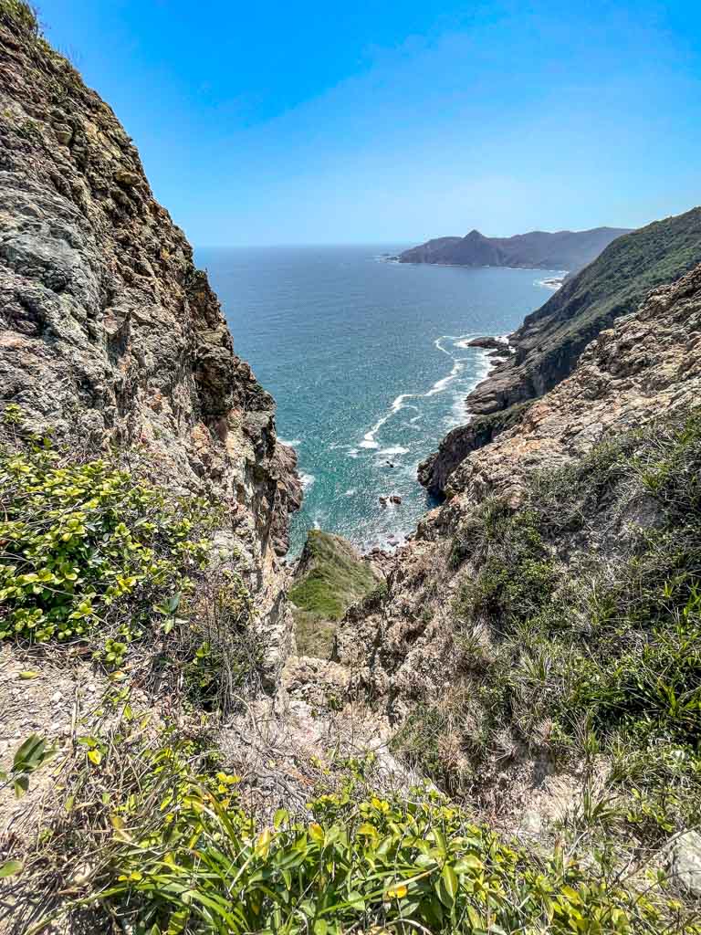
As we approach the junction between Tuen Tsui and Cheung Tsui, which is blessedly far lower, the trails become a bit of a maze.

Even though the map shows only one trail, there were multiple and we took a wrong turn to the right at the last branch instead of left. But we managed to make it.

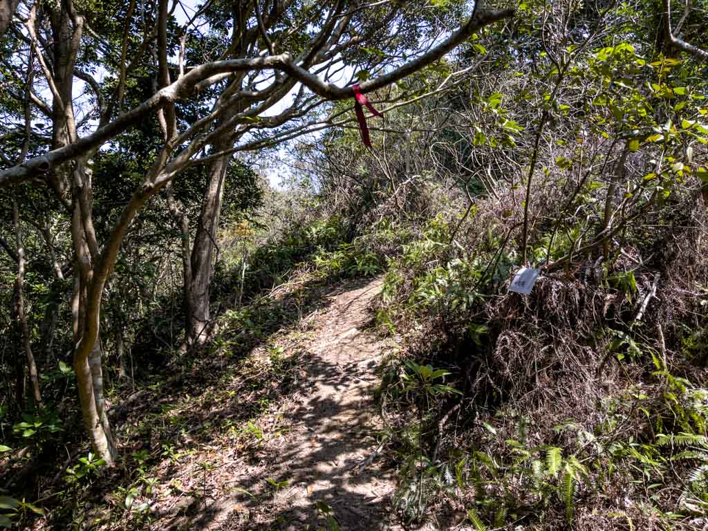
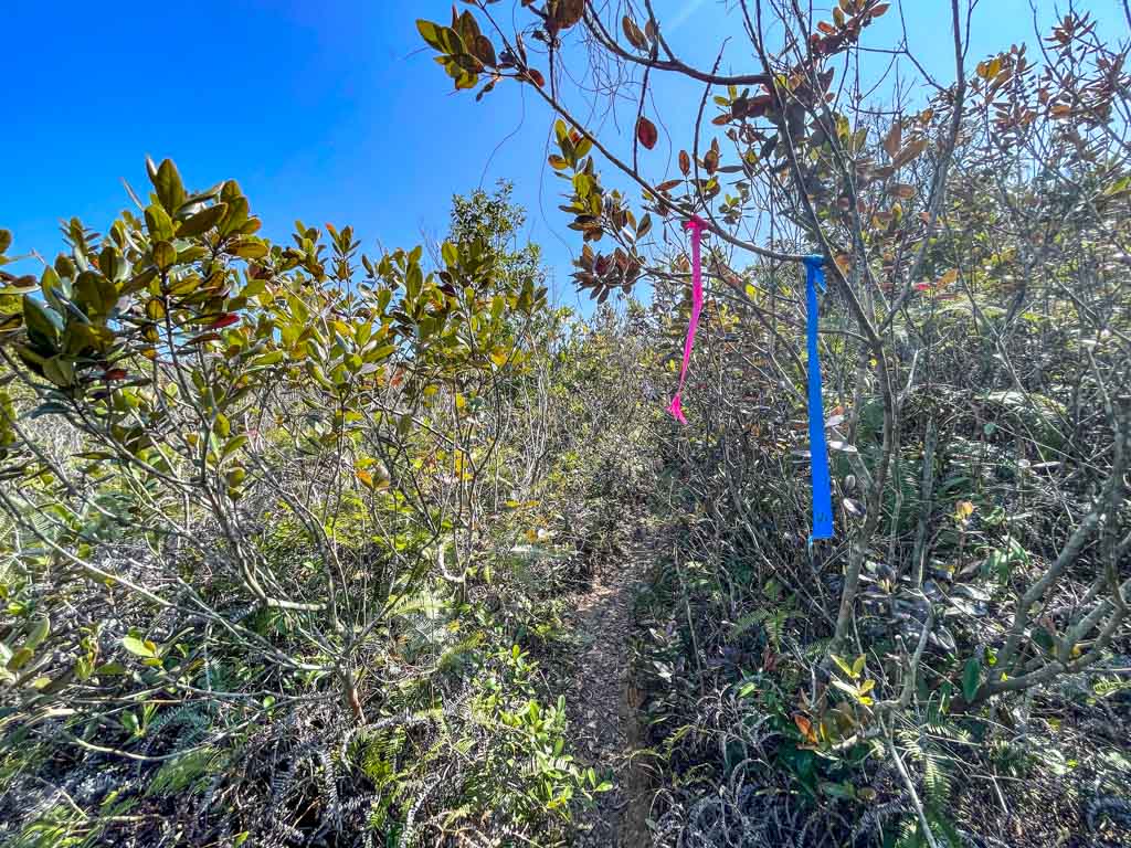
The Tuen Tsui and Cheung Tsui junction is surprisingly in the wood with trees tied with various coloured-ribbons, and the same laminated white A4 signs pointing to respective directions.
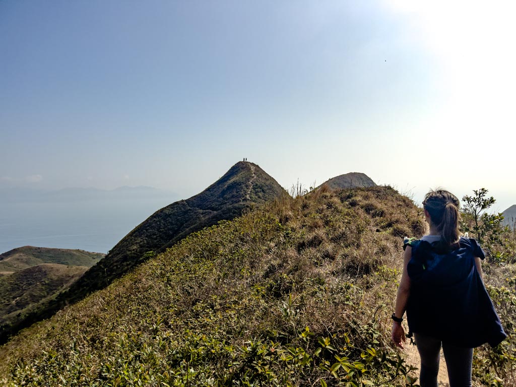
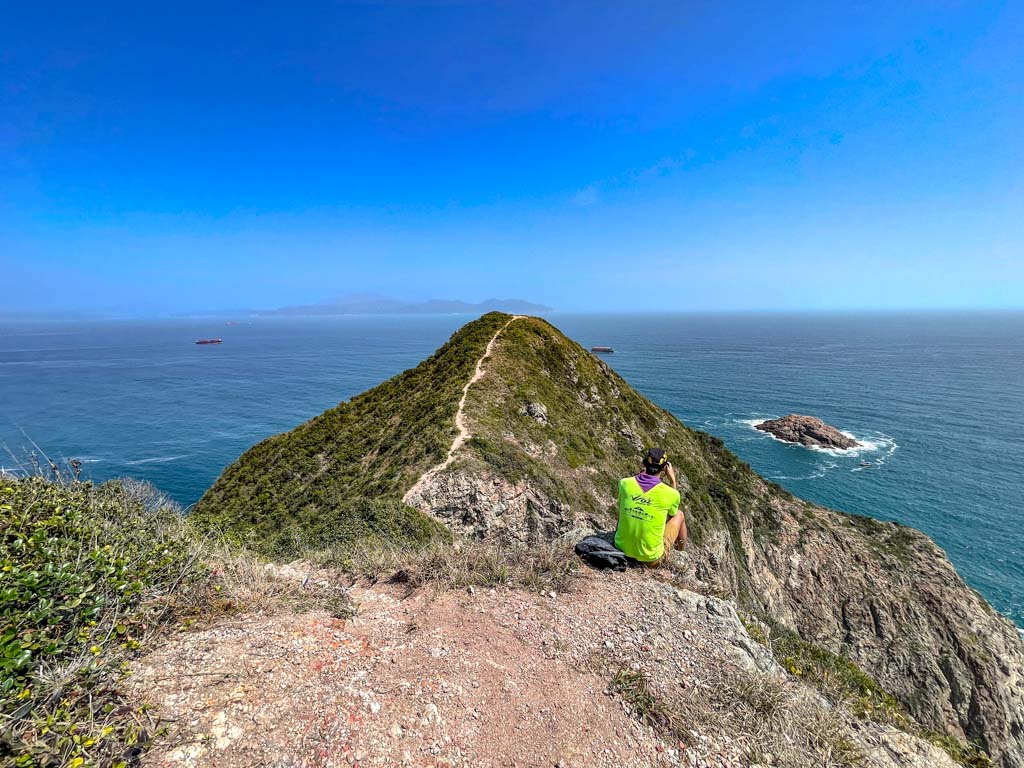
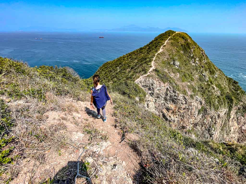
Tuen Tsui 4hr30mins

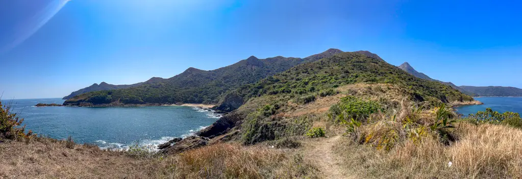
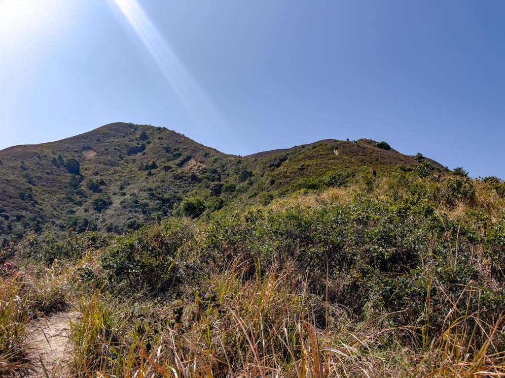
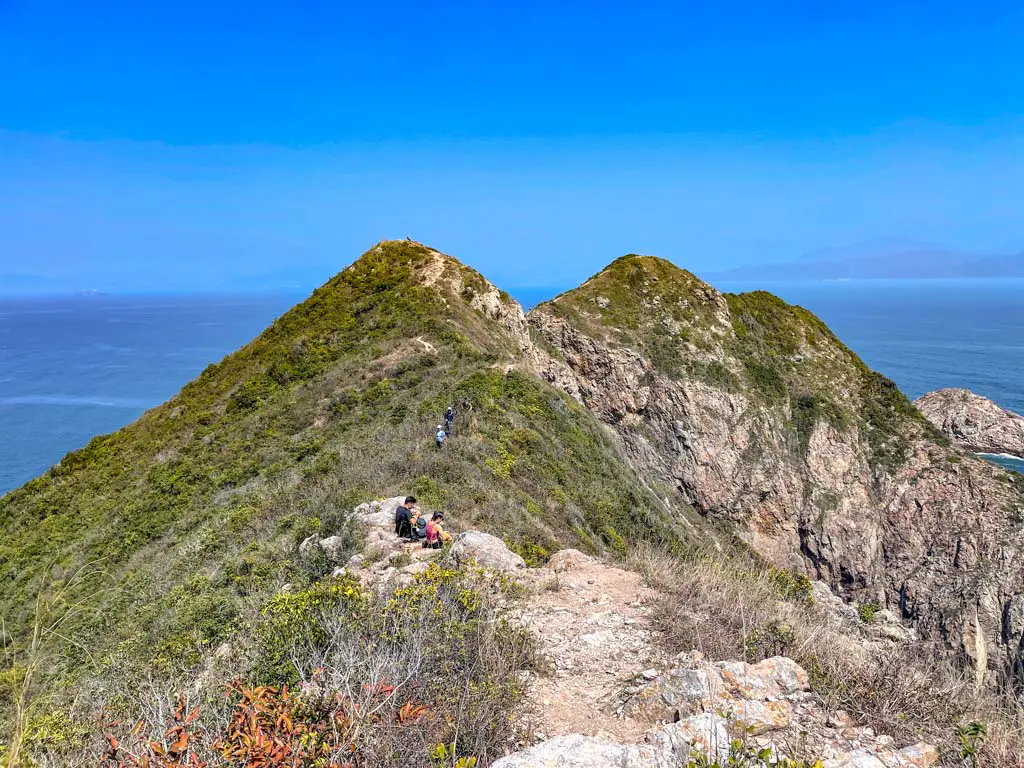
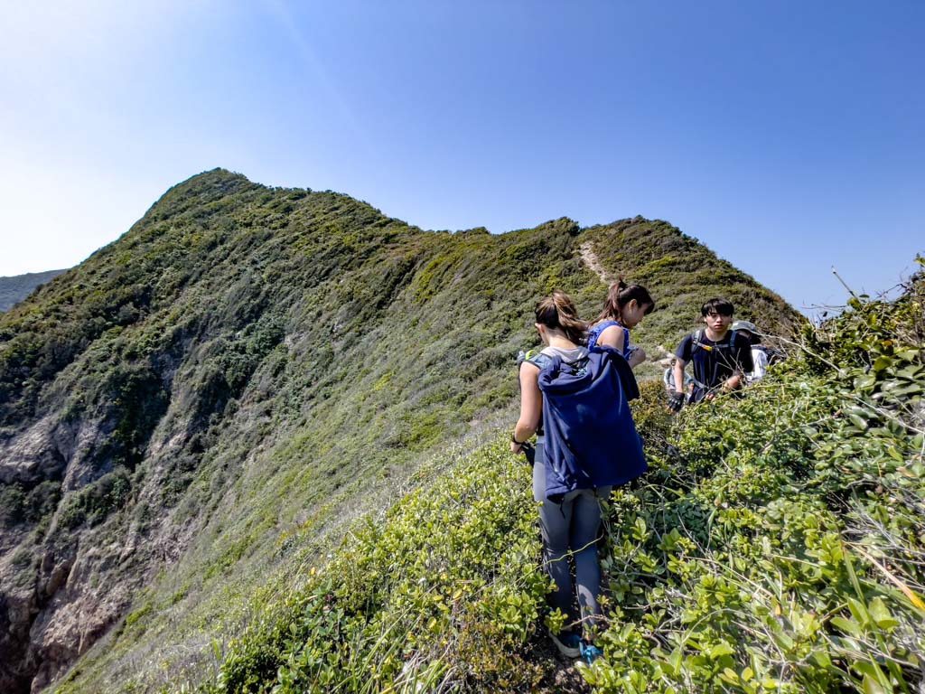
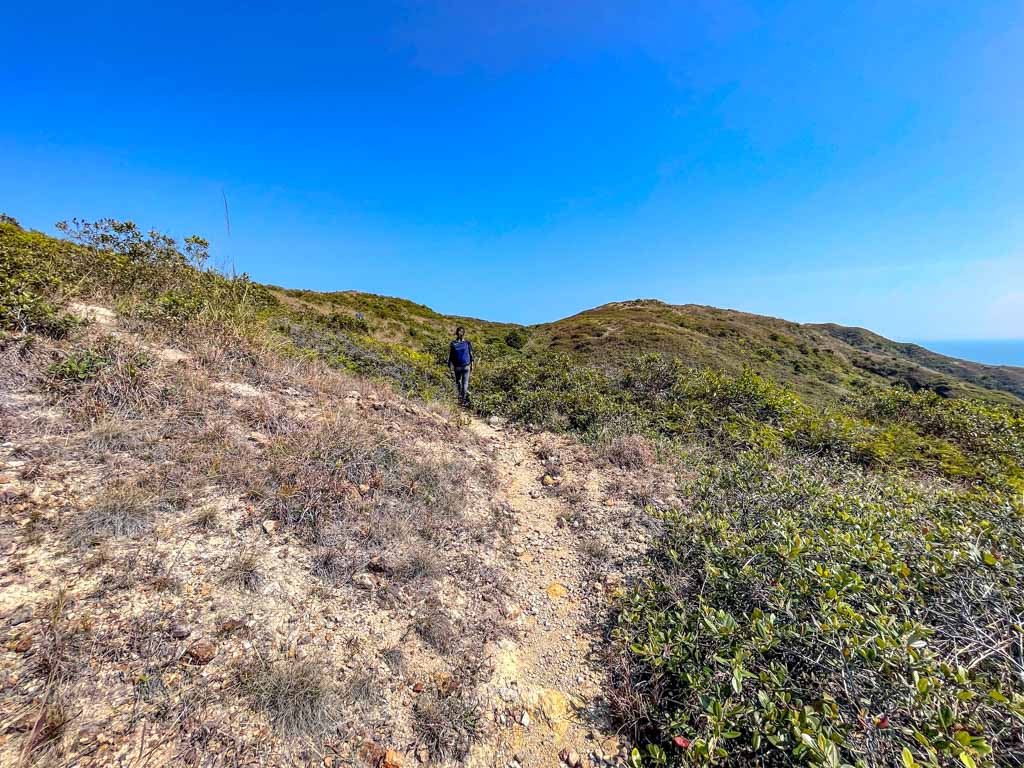
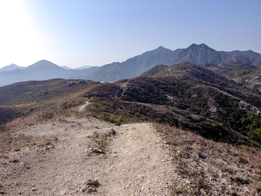
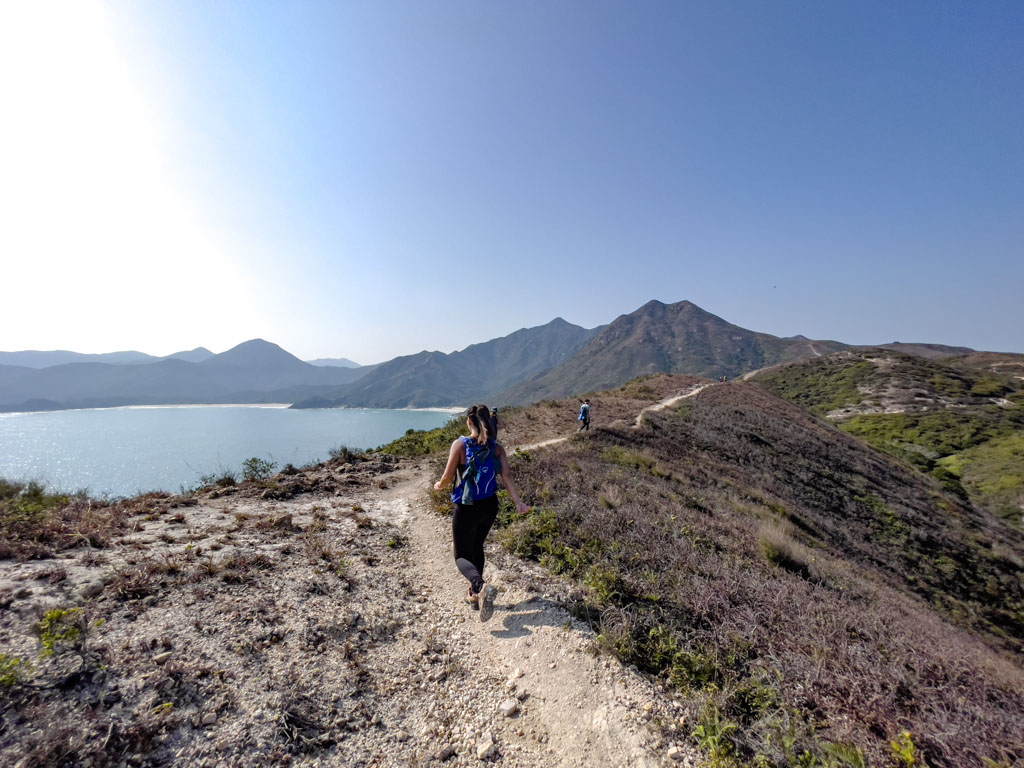
Tuen Tsui stands for ‘short peninsula’ and is interesting with its shape because it’s a series of small peaks that meander to the left then slope down to its peak.

There are two points on the descent from the last highest point to the end of Tuen Tsui that are quite narrow and might be a challenge for those with a fear of height.

good lunch spot tuen tsui sai kung hong kong 一尖三咀過四灣 - laugh travel eat

We took a lunch break on a cluster of big rocks in the middle of Tuen Tsui, since it’s close to but not in the way of the main trail.

We accidentally blew past the junction when we returned, but we followed the trail, into the wood.

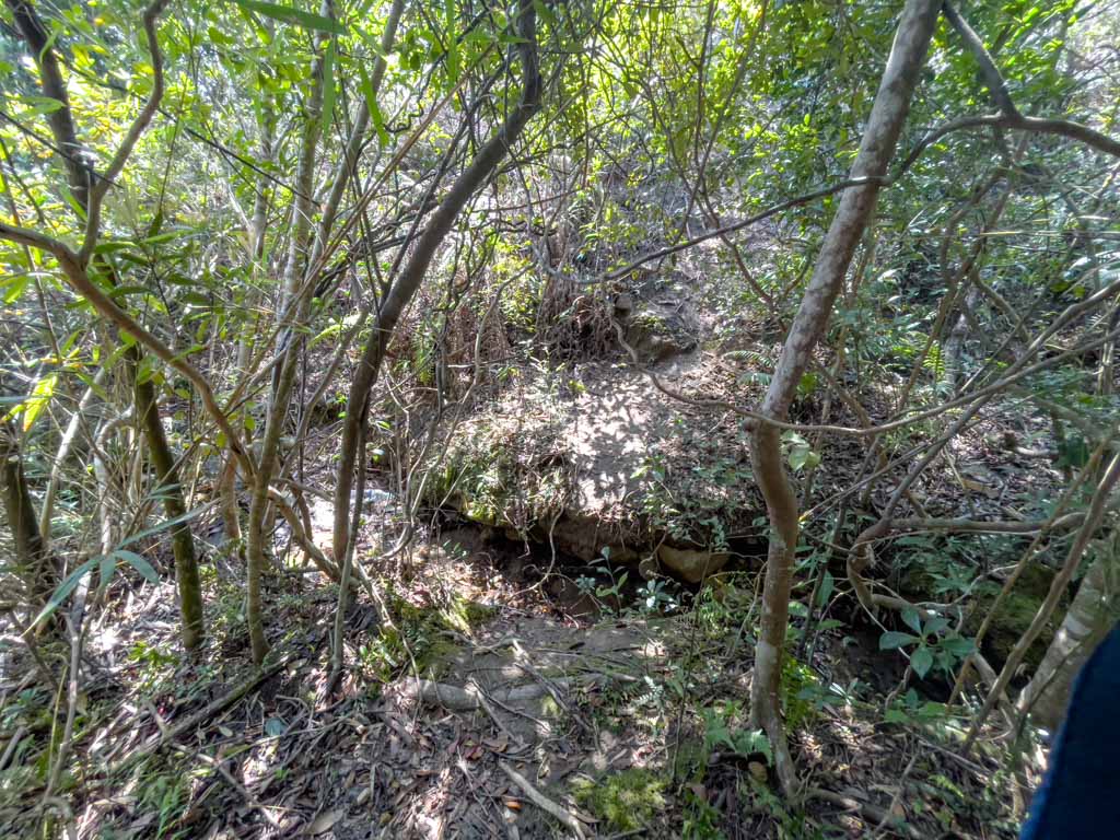
Then we ended up going down, crossing a river, then climbing back up on the other side of the bank.

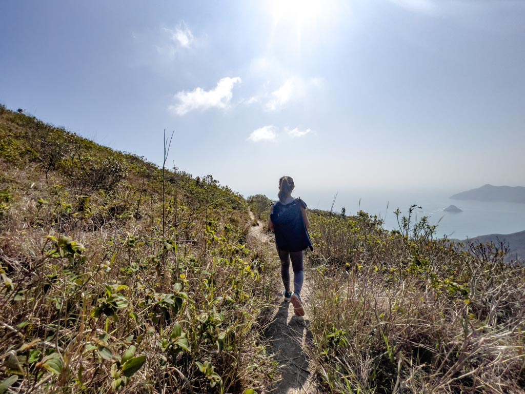
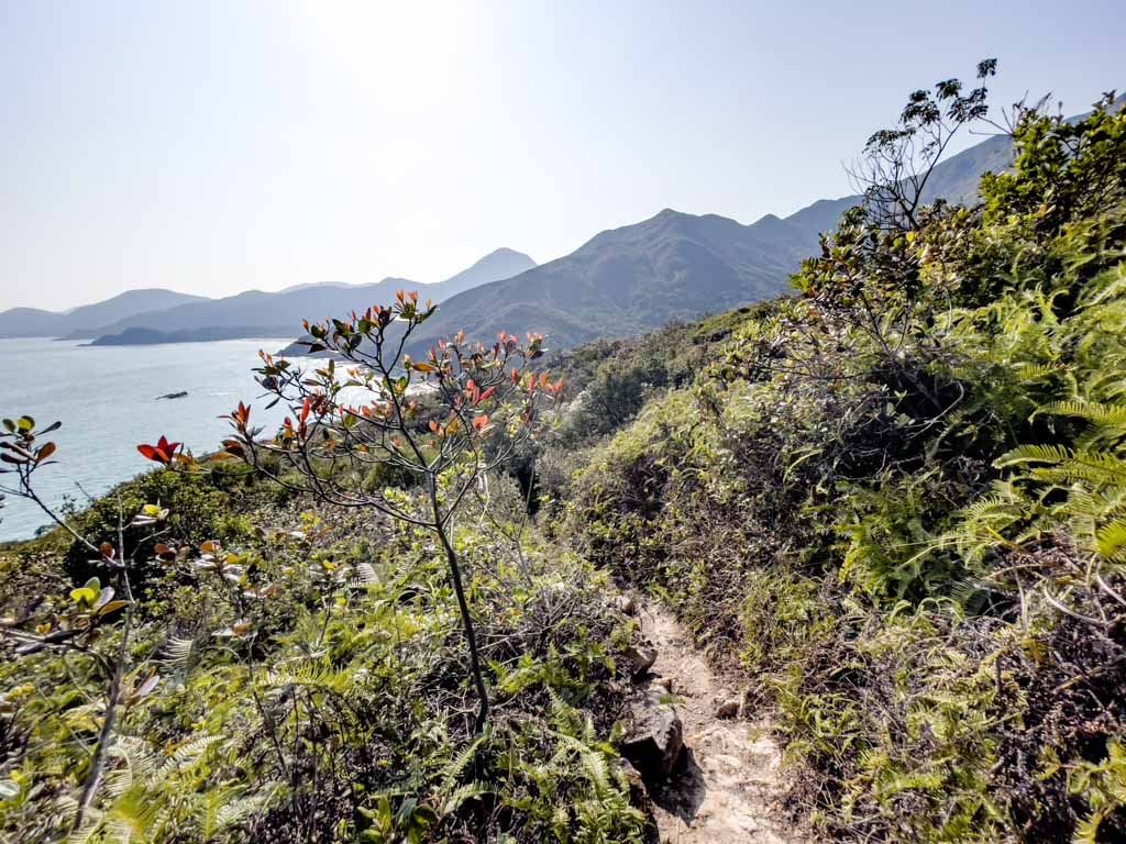
After that, it was a relatively flat trail to Cheung Tsui.

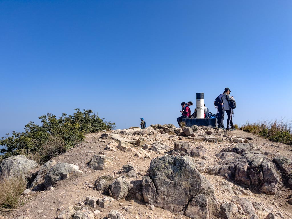
Cheung Tsui 6hr36mins

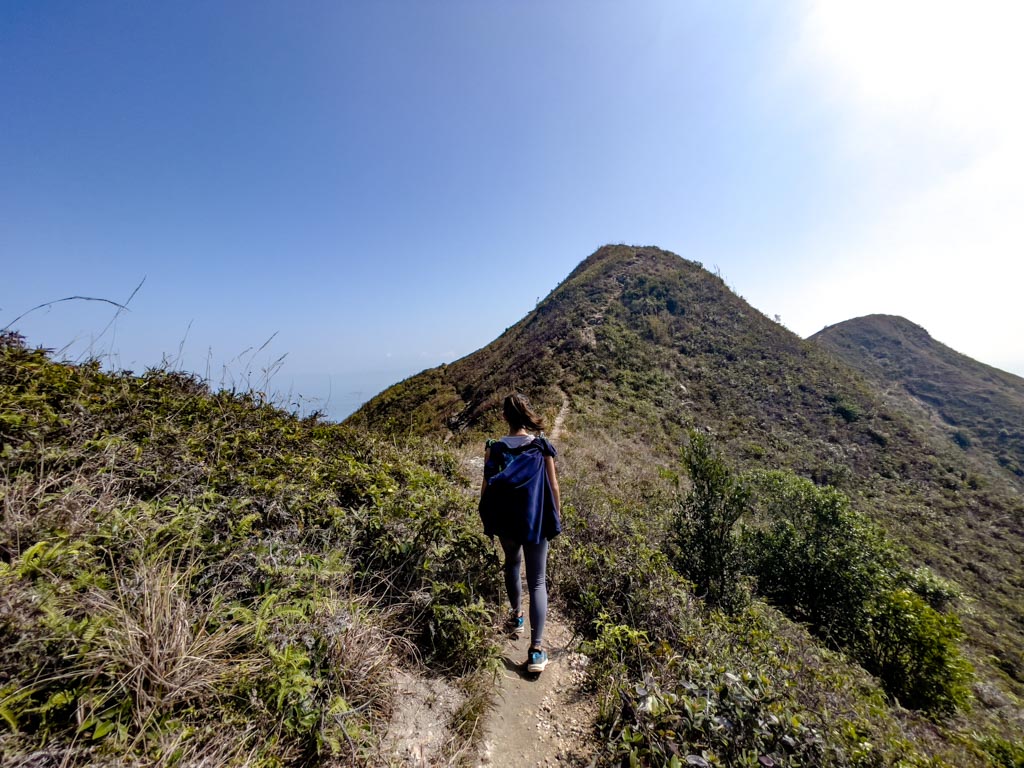
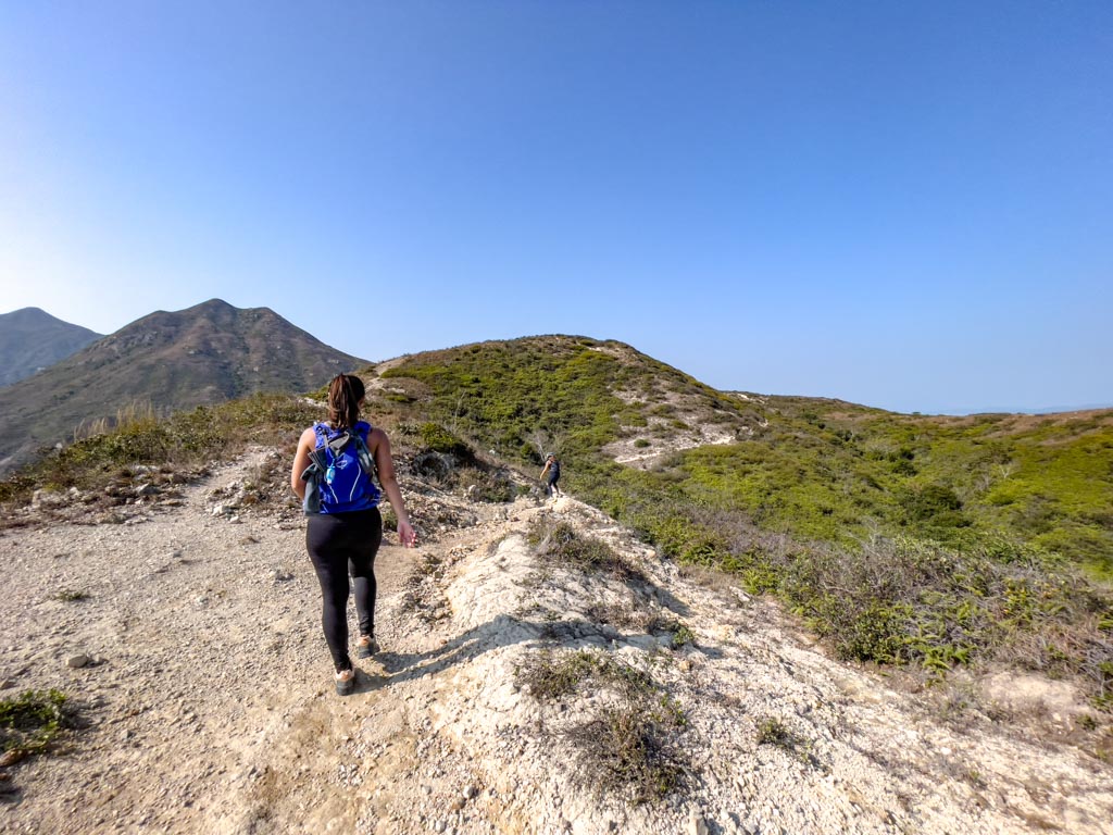
Cheung Tsui means ‘long peninsula’, and it’s wider than expected. It’s flatter than the other two peninsulas but has the highest point to the right (south) side. 

There is a branch along the way that can go right or left on a loop. The right side goes to the highest point first, and the left side to the grass field under the hill first.

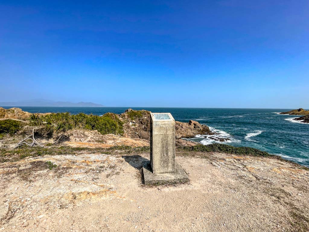
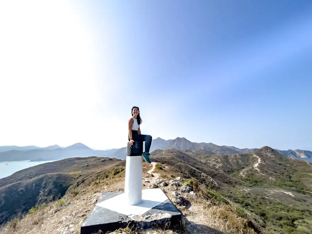
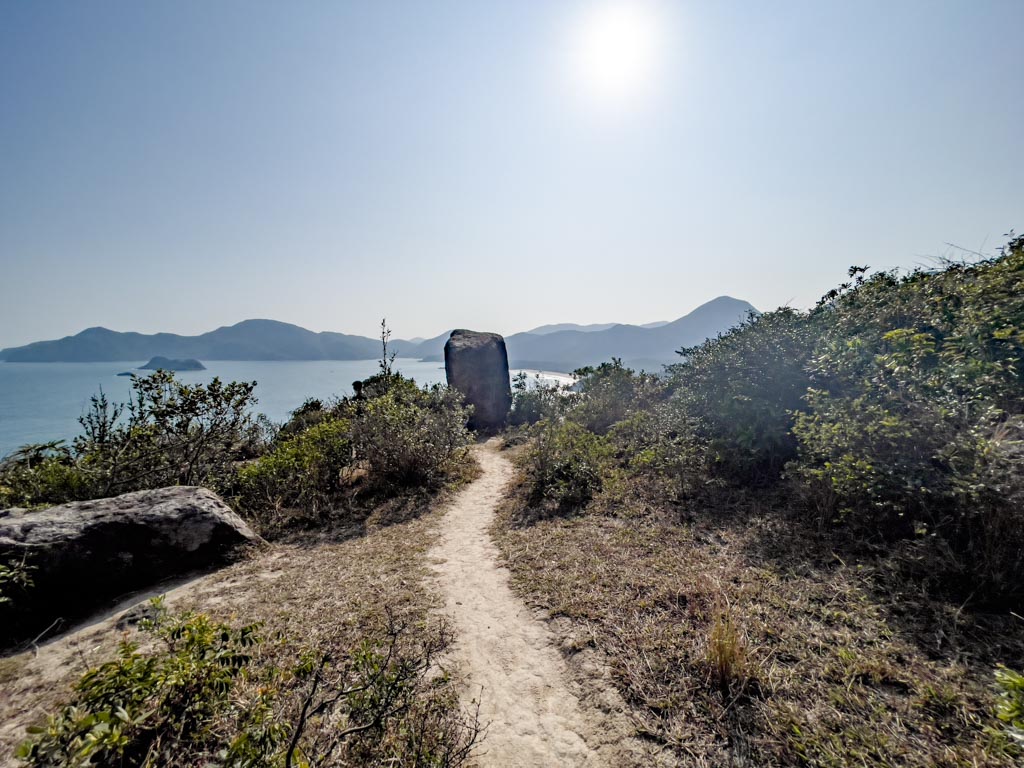
We ended up doing the left trail, since climbing up the slippery trail to the peak is easier than sliding down. The hill has a black and white pillar marking it as the highest point which makes for a good check-in point for Cheung Tsui.

looking down from highest point cheung tsui sai kung hong kong 一尖三咀過四灣 - laugh travel eat

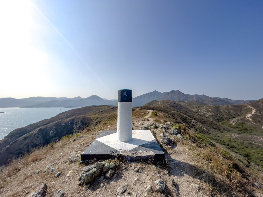
The grass field is also great for a picnic if you haven’t eaten already, and there’s a memorial for an overseas Hong Konger nearby.

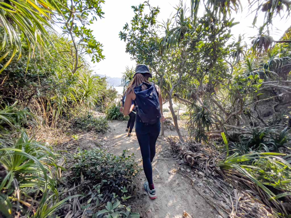
We stuck to the left when hiking out of Cheung Tsui, which conveniently lead us to the branch that goes to Tung Wan. This is probably the easiest part of the hike.

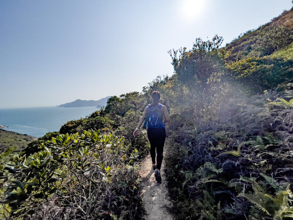
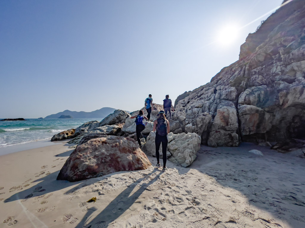
Once you see a kind of a branch with a giant boulder to the left, go towards it and it’ll take you down to Tung Wan Beach.

Tung Wan 7hr30mins

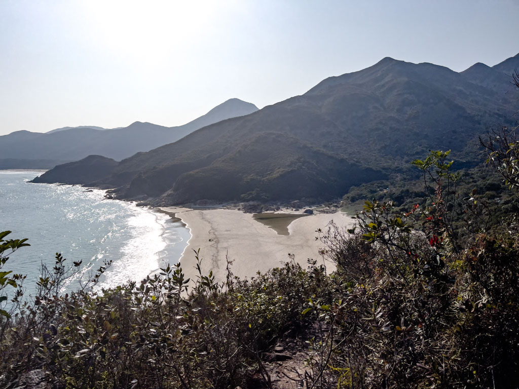
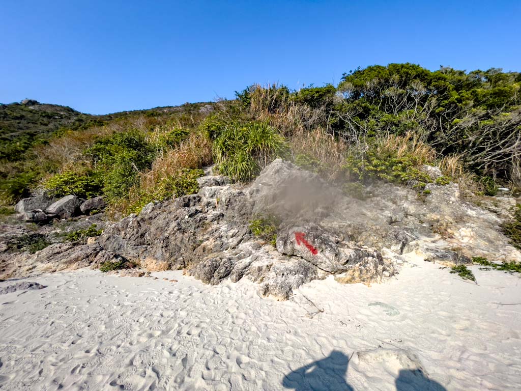
Tung Wan is the smallest and the easternmost beach of the four. The trail continues at the other end of the beach, with some red arrows spray-painted on the rocks to mark the direction.

Once you go to a small beach on the other side, go towards the cliff at the end and you’ll see the red arrows point up to the trail on the hill. This is not too difficult but is still a climb.

Then it’s the shortest hike from one point to another to Tai Wan!
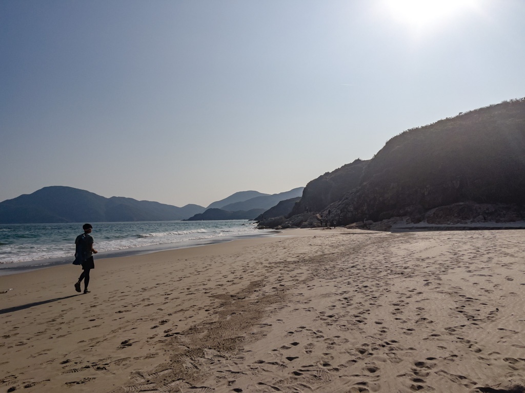
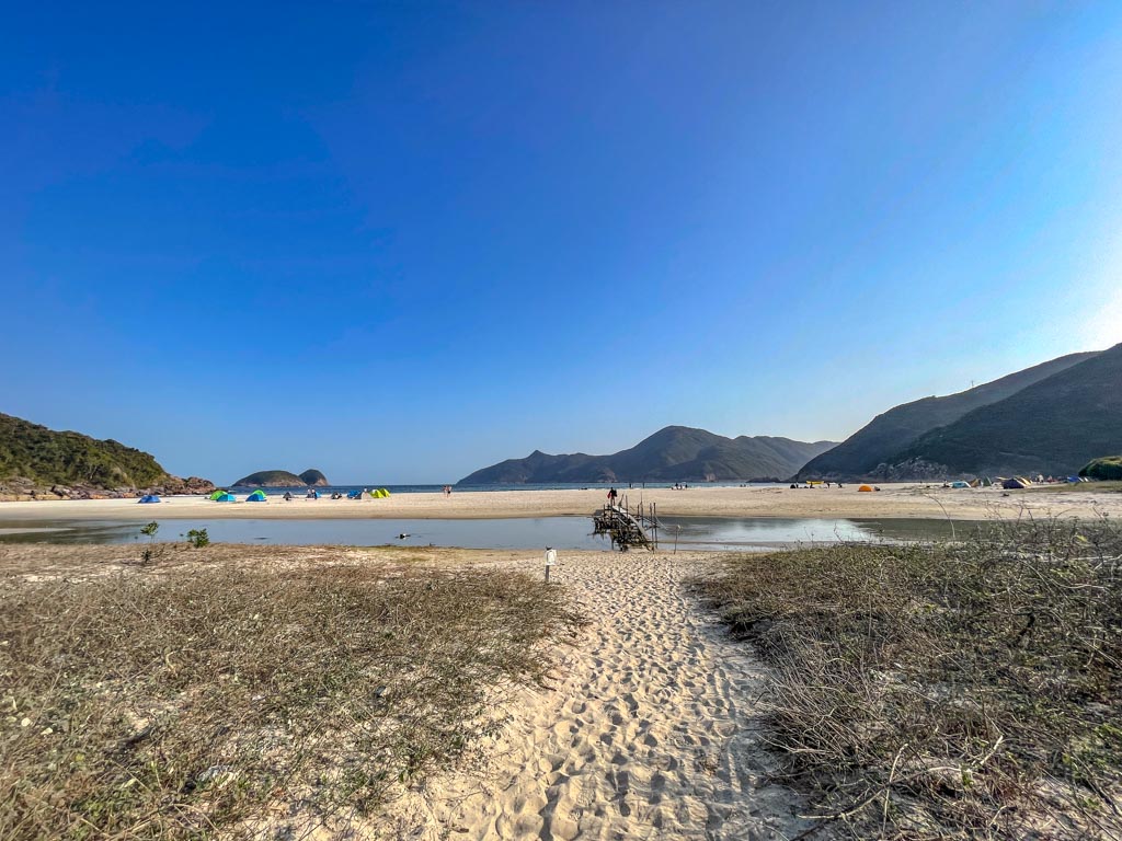
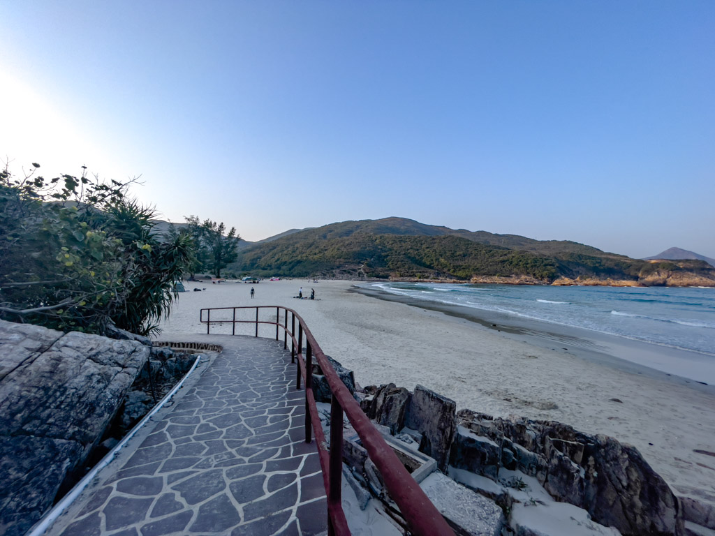
Tai Wan 7hr47mins

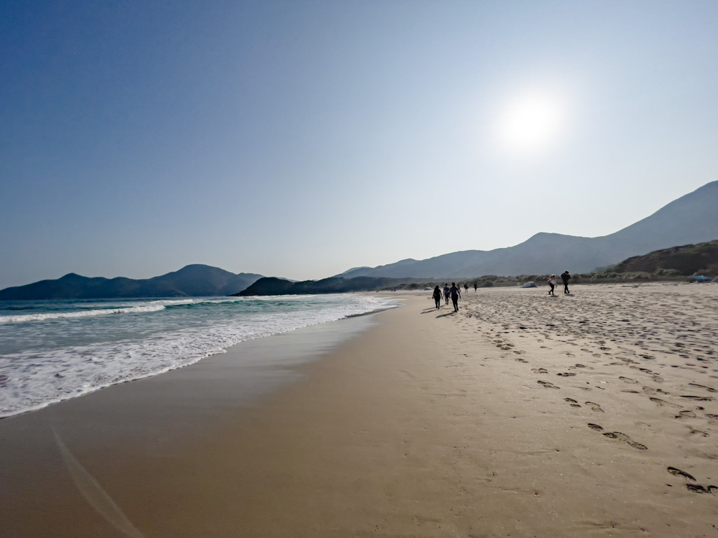
Tai Wan is the longest beach out of the four and there are two main ways to go to Ham Tin from here.

The shortest route on the map is up the hill then down at the end of the beach, but if you’re tired like us, you can go to the back of the beach which is a flat route to Ham Tin.

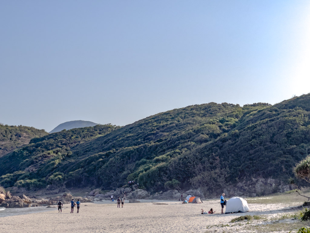
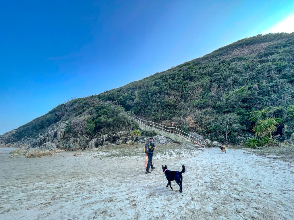
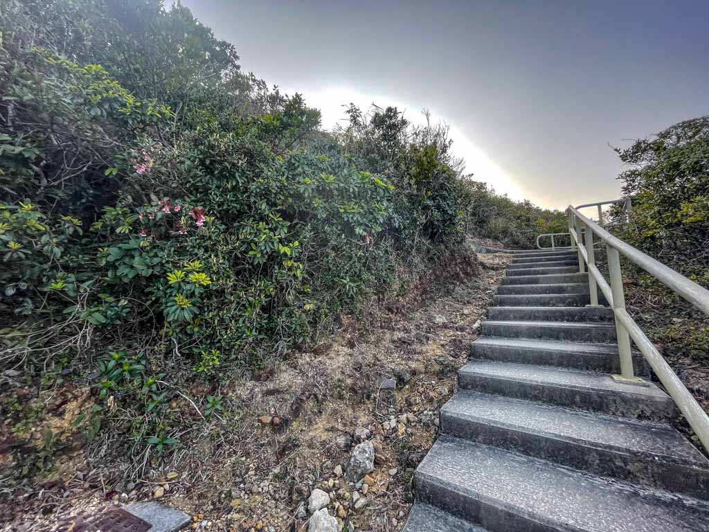
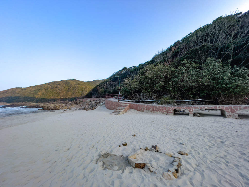
Ham Tin Wan 8hr06mins

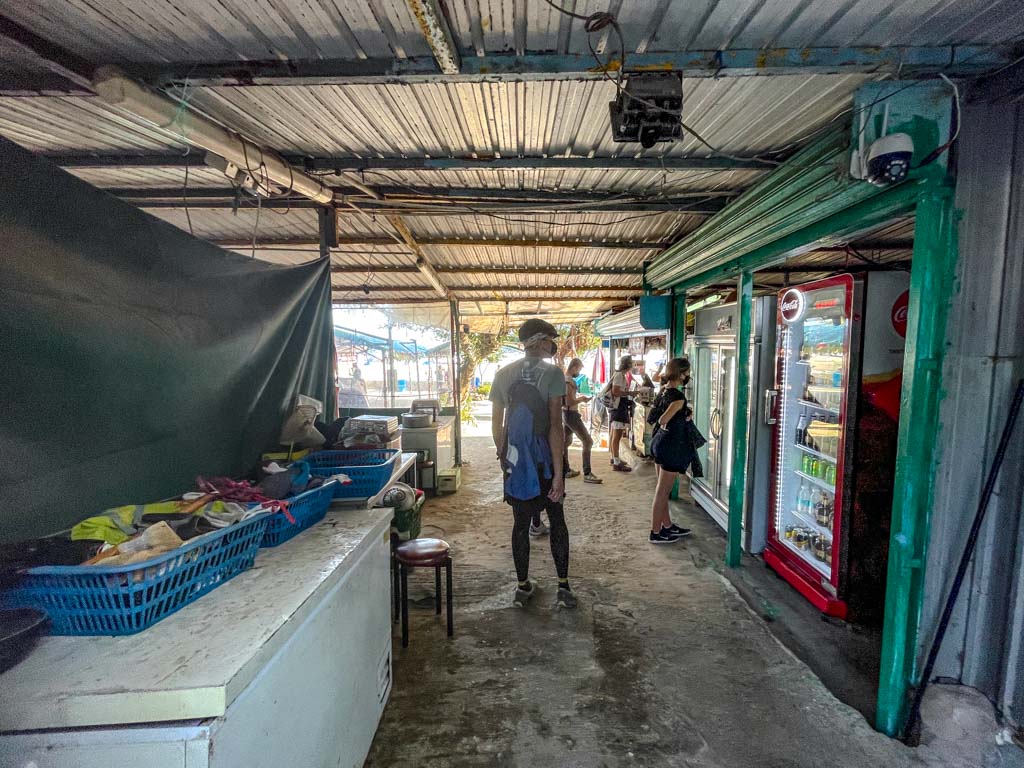
This trail enters the beach through the Hoi Fung Store, which is the first refreshment point since Chek Keng Village. Since we wanted to get out by sundown, we only got a drink before moving on.

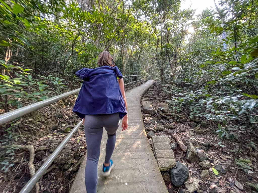
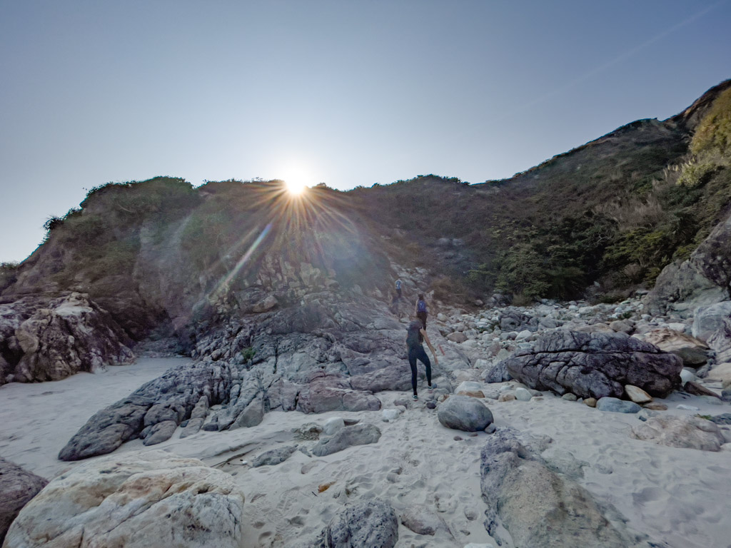
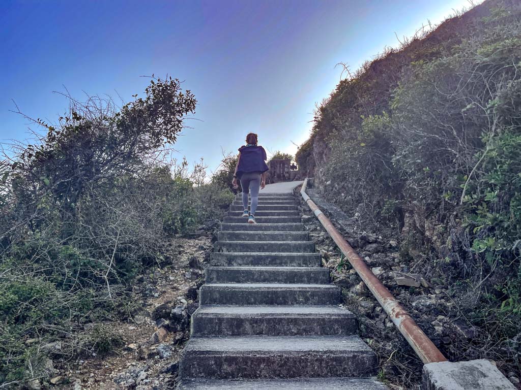
The MacLehose Trail Section 2 is a paved, concrete trail at the end of the beach and it’s what feels like a flight of stairs up. This part is still quite long so at least you don’t have to worry about tripping.

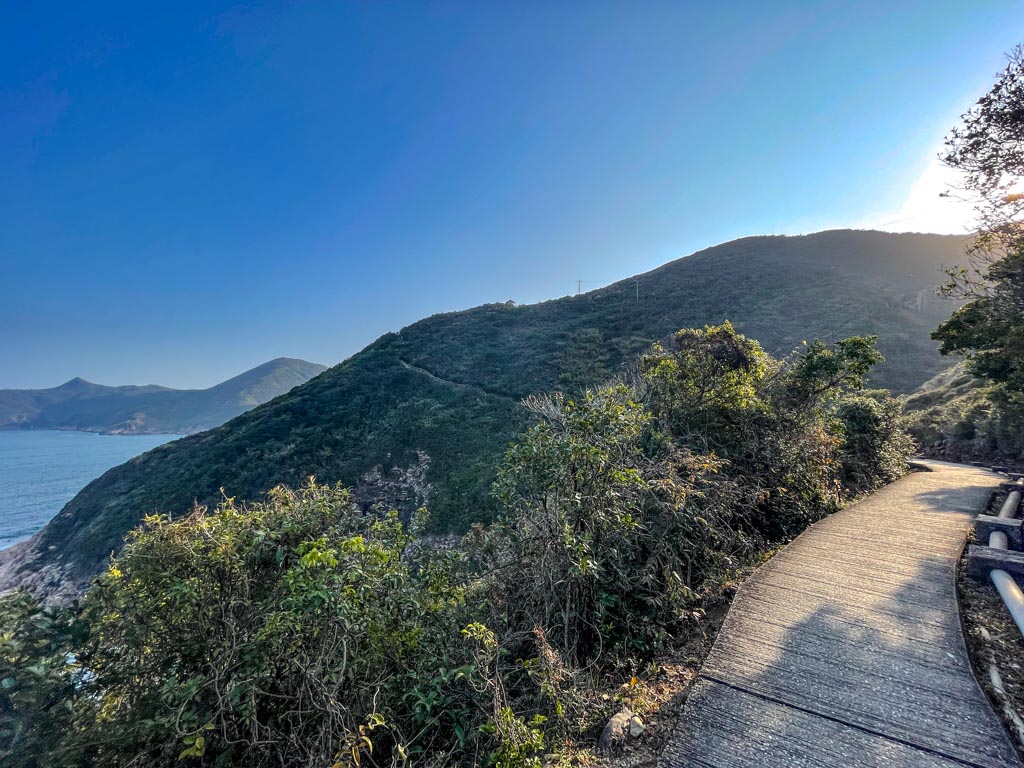
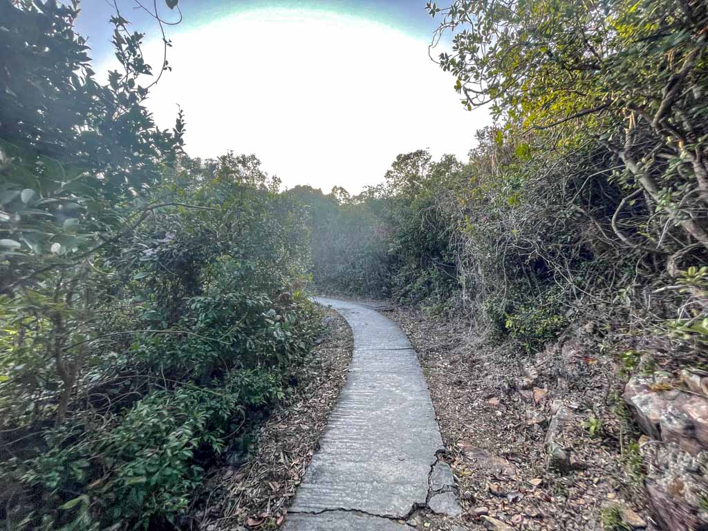
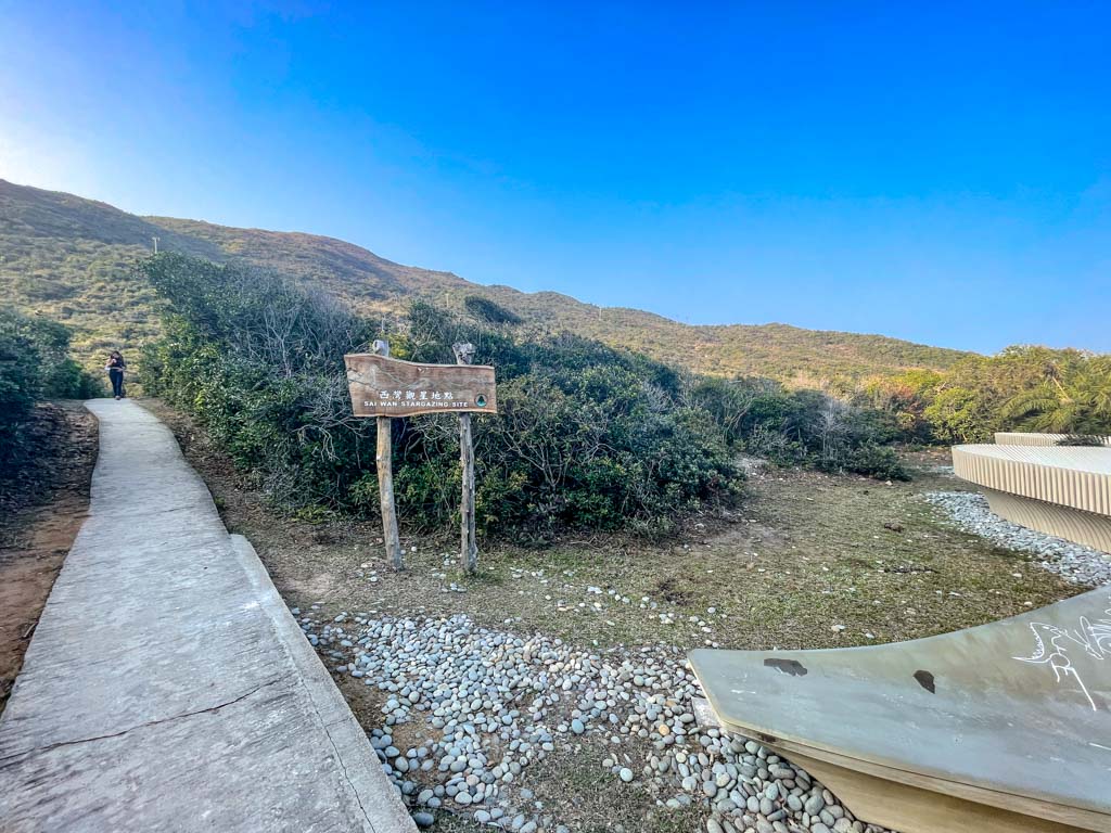
We ended up taking a small break at Sai Wan Stargazing ground which is already close to Sai Wan beach.
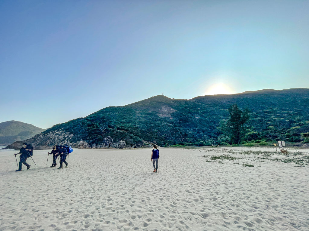
Sai Wan 8hrs56mins

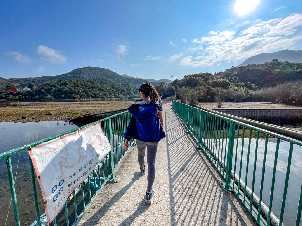
We exited the trail onto the beach and there’s a wider than usual river. You can either jump across or go to the beach by the trail to the Four Consecutive Pools and Falls. 

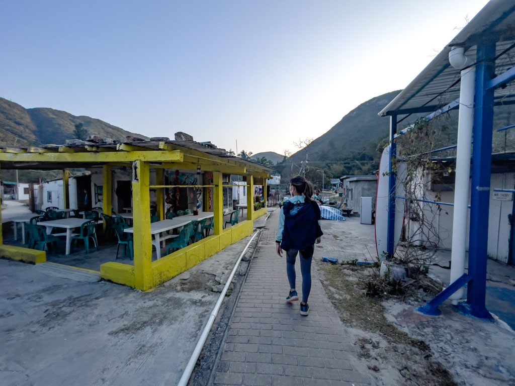
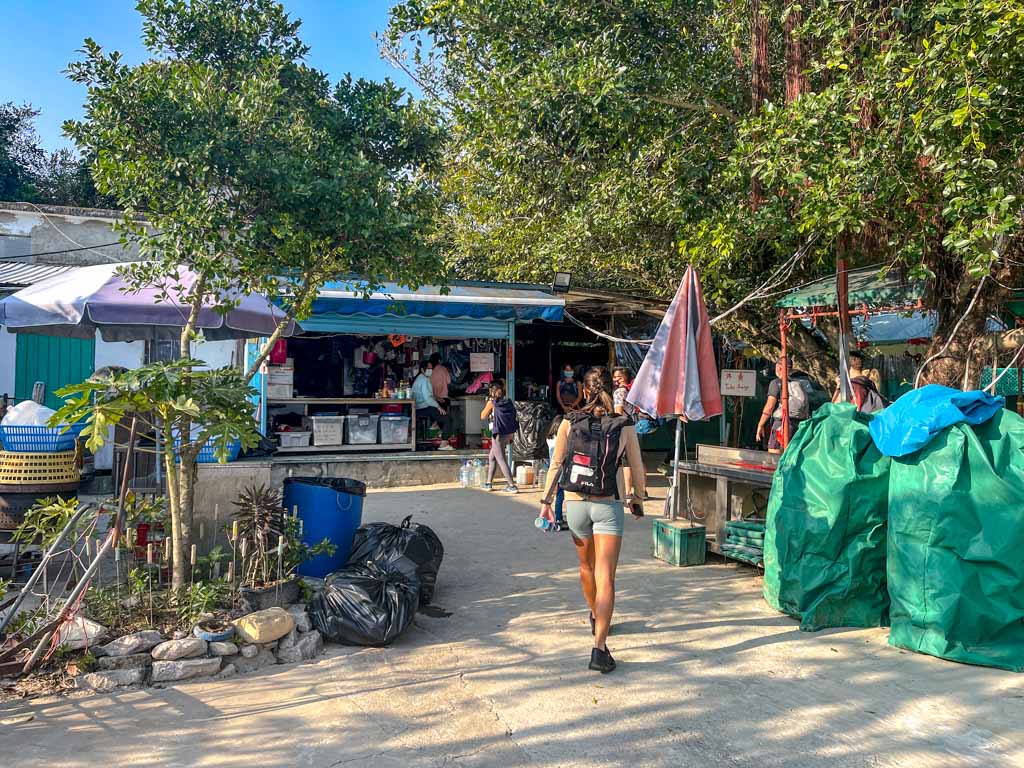
There’s also restaurants and cafes at Sai Wan and the MacLehose Trail Section 2 continues behind the village.

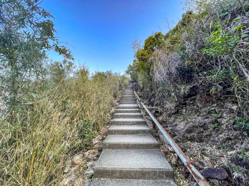
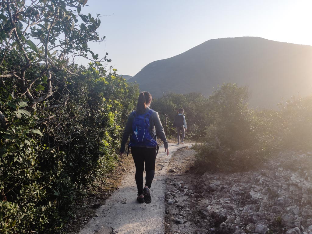
Sai Wan Pavilion 9hr47mins

The hike from Sai Wan to Sai Wan Pavilion takes around 45 minutes to an hour. It’s mostly uphill for the first half, then levels out a little. The reception at the Sai Wan Pavillion is spotty, so you might want to call out ahead for a taxi.

While there are minivans to and from Sai Wan Pavillion and Sai Kung, by then they’d have wrapped. If no taxi wants to go in, add 50 HKD extra and that’d usually do it.

Leave a Reply

Your email address will not be published. Required fields are marked *

Ad Blocker Detected!

Advertisements fund this website. Please disable your adblocking software or whitelist our website.
Thank You!
Want an off-line guide for Cinque Terre?
Including exclusive photo spots and tips Plus more travel tips in my FREE resource library
Your Information will never be shared with any third party.
Download THE travel planning spreadsheet
Get THE travel planning spreadsheet I use to plan your trip and track your finance!
Your Information will never be shared with any third party.
Get a free travel plan & finance spreadsheet!
And get access to my exclusive resource library with map itineraries, travel checklist and more
Your Information will never be shared with any third party.
Download a one-page price list for reference on your trip to Chiang Mai!
Have it handy so you know what price you should pay when you haggle!
Your Information will never be shared with any third party.
Download your FREE map for Ljubljana
Get a copy of the map for your trip to the Slovenia captial! You can probably do everything in 1 day
Your Information will never be shared with any third party.
Download your FREE map for the Lake Bohinj region
Lake Bohinj region is big - so get a map of my favourite spots to make the most of your trip!
Your Information will never be shared with any third party.
Download your FREE map for Lake Bled
Get a free map of best viewpoints, sights and restaurants in Bled for your trip!
Your Information will never be shared with any third party.
Download your FREE map for Milan
Get your map of what to see in Milan in 48 hours - including tips and tricks
Your Information will never be shared with any third party.
Download your FREE map for Taormina
Know where the best spots in Taormina is with this Google My Map
Your Information will never be shared with any third party.
Download your FREE map for the Lake Bohinj region
Get this comprehensive map with transport stops and routes clearly marked for your trip to Bohinj!
Your Information will never be shared with any third party.
Download your FREE map for your trip to the Peak!
Get this comprehensive map with transport stops and routes clearly marked for your trip to The Peak
Your Information will never be shared with any third party.
Download your FREE map for Prague!
Get this all-in-one map for the best viewpoints, top 5 and restaurants pick in Prague!
Your Information will never be shared with any third party.
Get free destination maps for your travels
Join my exclusive resource library with map itineraries, travel checklist and more. Currently most popular: Milan, Lake Bled and Hong Kong maps
Your Information will never be shared with any third party.
Download the free 1 day Itinerary for Hong Kong!
Make it easy to find all the spots and follow with the infographic
Your Information will never be shared with any third party.
Download your map for Eze and Monaco
the all-in-one day trip map with bus stops, sights and viewpoints labeled for you
Your Information will never be shared with any third party.
Download your 3 day map itinerary for Danang
Enjoy a 3 day trip that you don't need to plan!
Your Information will never be shared with any third party.
Do you want to know all my blogging secret?
Sign up to hear first about my Ultimate blogging beginners course
Your Information will never be shared with any third party.
Download your FREE map for Hoi AN!
Get this all-in-one map for the Hoi An old town and best restaurants
Your Information will never be shared with any third party.
Download your FREE map for Hue!
See Hue in 2-3 days with this guide!
Your Information will never be shared with any third party.
Download your FREE map for Phong Nha!
Where the caves are, what there's to do and where to eat in Phong Nha!
Your Information will never be shared with any third party.
Download your map for Padua!
It include my entire day's itinerary, not just the top 5!
Your Information will never be shared with any third party.
Download your map for Sirmione
This might be a small town, but knowing where to go will still help your day!
Your Information will never be shared with any third party.
Download your map for Sirmione
This might be a small town, but knowing where to go will still help your day!
Your Information will never be shared with any third party.
Download your map for Verona!
My all in one guide to Veona including secret spots, restaurants and top sights!
Your Information will never be shared with any third party.
Download your map for Chiang Mai
Get the exact map hat I prepped for the trip with restaurants, sights and spa locations marked on!
Your Information will never be shared with any third party.
Download your map for Nara!
Get the itinerary for food, temples and deer spotting in Nara!
Your Information will never be shared with any third party.
Download your map for Macau!
Get my 48 hours itinerary for Macau
Your Information will never be shared with any third party.
Download your map for Macau!
From how to get there to what to eat after in Yuen Long
Your Information will never be shared with any third party.
Download your map for Central & Admiralty
get your half day itinerary to the heart of Hong Kong!
Your Information will never be shared with any third party.
Download your Shui Long Wo Hiking Map
It isn't hard - but better safe than sorry ;)
Your Information will never be shared with any third party.
Get all 9 spots with 1 map!
For the hiking views, you'll need to read their respective articles for transport options!
Your Information will never be shared with any third party.
Let's hike West High Hill!
Let's get you from the Peak to some stunning vista!
Your Information will never be shared with any third party.
Get a map of my favourite restaurants in Hong Kong
This map would be updated as I add more!
Your Information will never be shared with any third party.
Get my Angkor + Siem Reap Itinerary
Restaurants, markets and more
Your Information will never be shared with any third party.
Get my 7 days Tokyo Itinerary!
Including all the spots in the post and more!
Your Information will never be shared with any third party.
Get your FREE Nusa Penida Map
Including all the spots in the post and more!
Your Information will never be shared with any third party.
Get my Singapore map!
Including all the spots in the post!
Your Information will never be shared with any third party.