Kai Kung Leng, which translates roughly to the “Mountain of Chicken”, is a beautiful mountain ridge that runs parallel to Tai To Yan in Fanling in Yuen Long. A more intermediate hike, the trek takes five hours with little to no shade throughout the entire trail. However, it is very rewarding to hike and here’s how you can do it:
Kai Kung Leng hike summary
Difficulty: 4/5 for the slopes – you would need to wear proper hiking shoes for this
Duration: 5 hours
Pros: a very scenic hike with velvet-like mountains and unlikely to get lost
Cons: going down is slippery and hard on the knees here, and there’s little shade if it turns out to be a sunny day
Note: you’ll need shoes with a good grip to hike this trail and if there has been rain recently, I would not recommend it as it would be too slippery
Getting to the Kai Kung Leng Trail Start
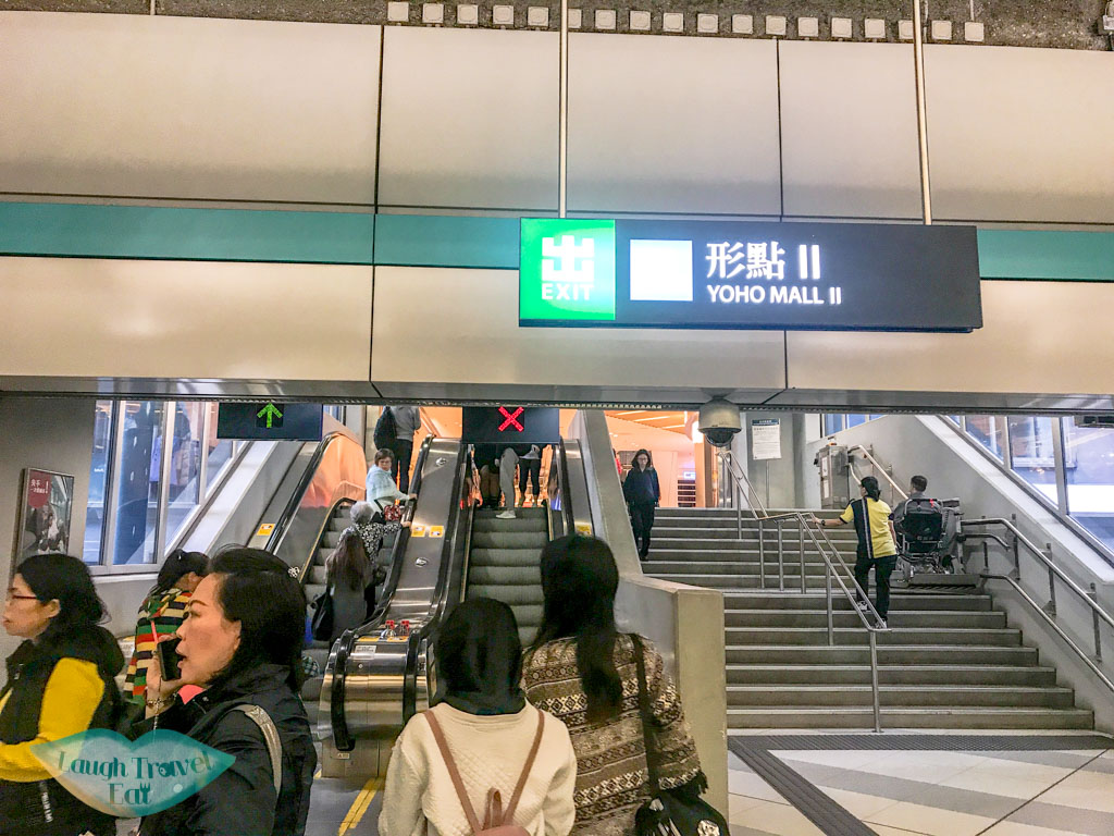
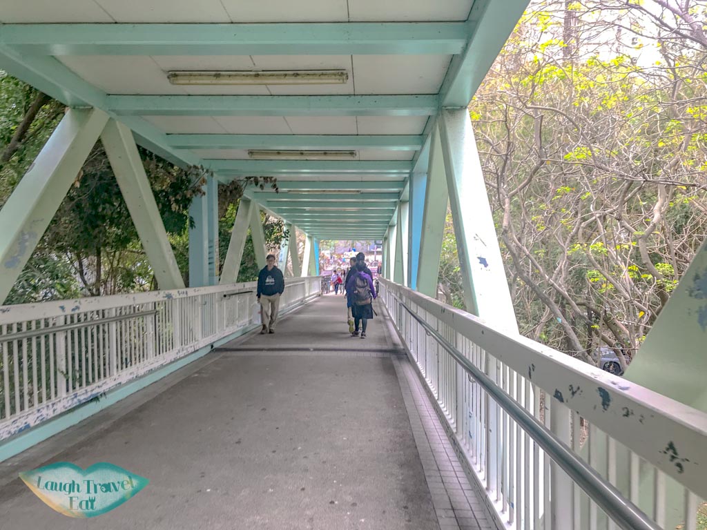
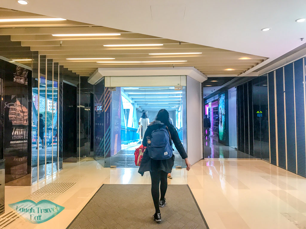
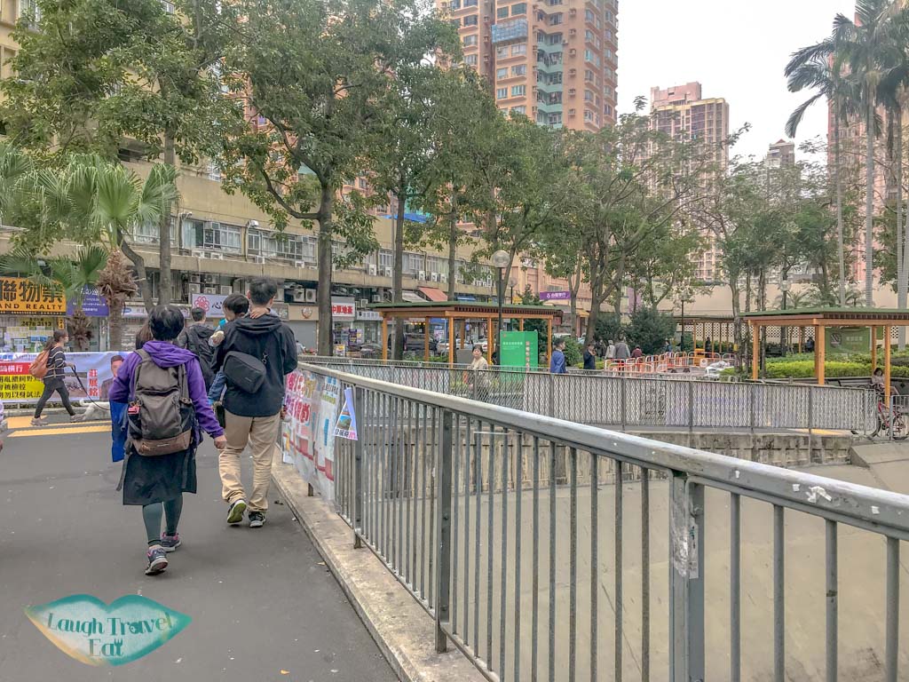
The nearest MTR is Yueng Long West Rail station, exit to the Yoho mall II and walk across the mall towards the right until you find the pedestrian bridge. Follow the bridge and exit on the ramp, then continue right across a small park.
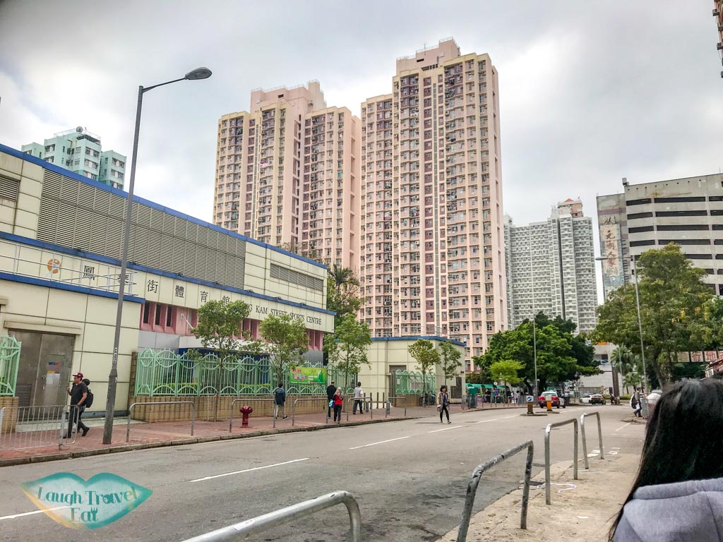
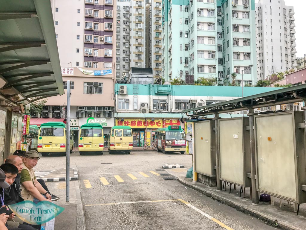
Follow the main road from there and go past the sports stadium. The minibus station should be to the left.
The one that will take you to Kai Kung Leng is minibus 603 on the third lane from the left as you enter (I think :)). This is the starting station and the minibus departs every 15-20 minutes.
The ride to the trail start is only about 10 minutes or so. Tell the driver that you want to get off at the trail start aka “han shan keng”. If you are all dressed up in hiking gear, he/she will know. I’ve hiked this trail three times and we always get dropped off right in front of the trail start.
Hiking Kai Kung Leng
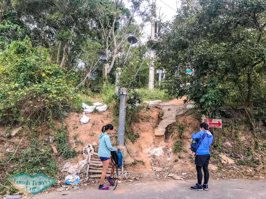
Trail start
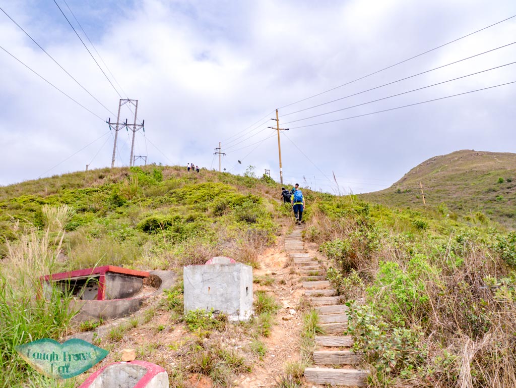
The first section of the hike consist mostly of stairs made of wooden planks nailed into the ground. Some of these are eroded and sections are missing, but as long as it hasn’t rain you shouldn’t have a problem. There are some mountain graves and electricity cables hanging overhead, so usually we tend to walk up quickly.
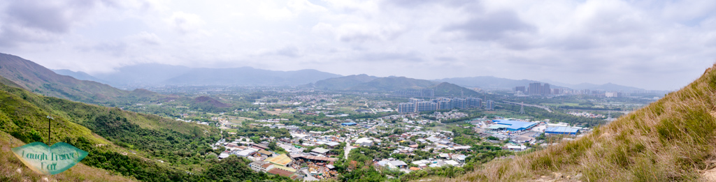
The view of Yuen Long and the surrounding area is already visible a minute or so into the hike due to the lack of trees.
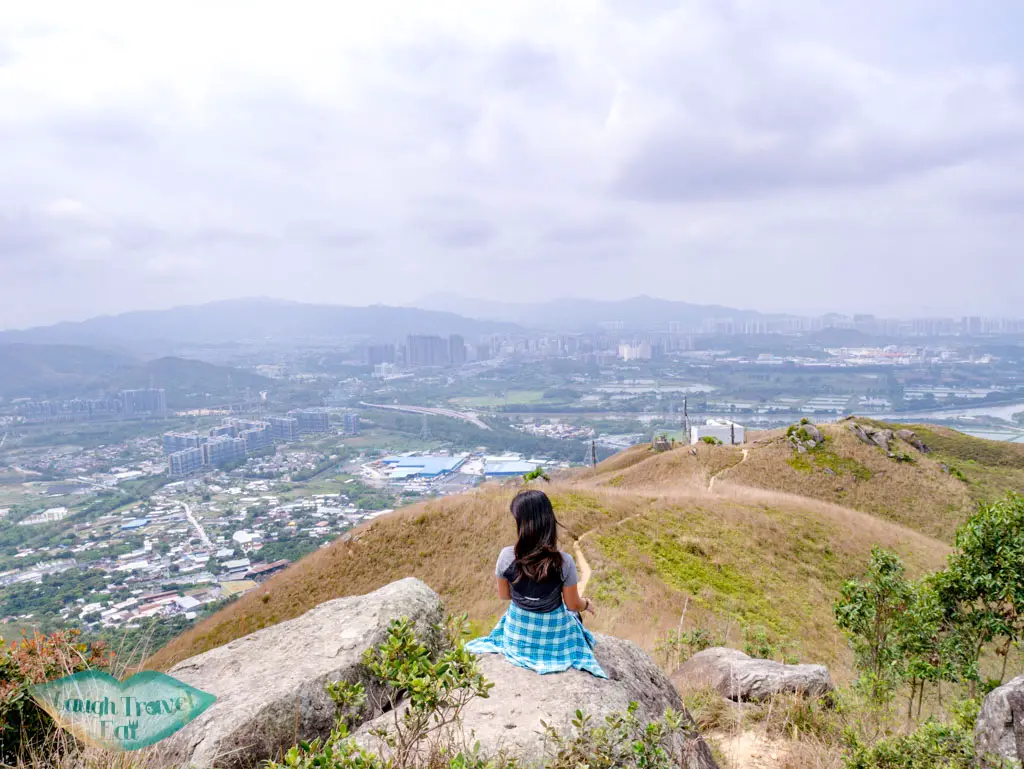
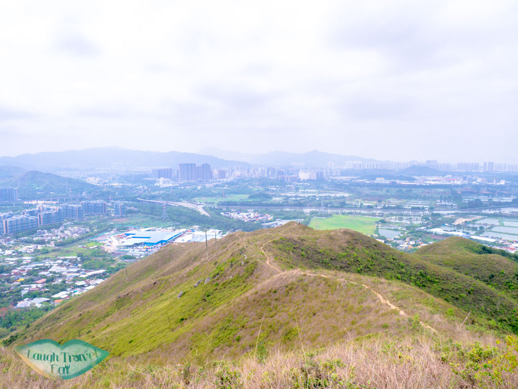
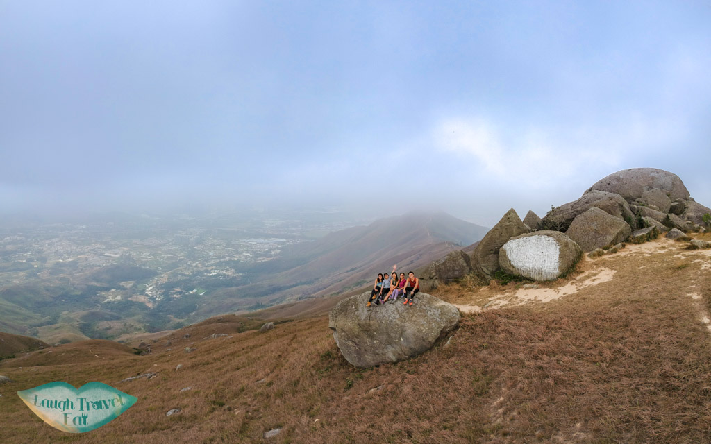
The first rest point is usually this small plateau that gives you a good 270 degree view. It’s a good spot to take photos with the wetlands as the path continues away from it. It’s easy to see practically the entire trail that goes up and up several hills.
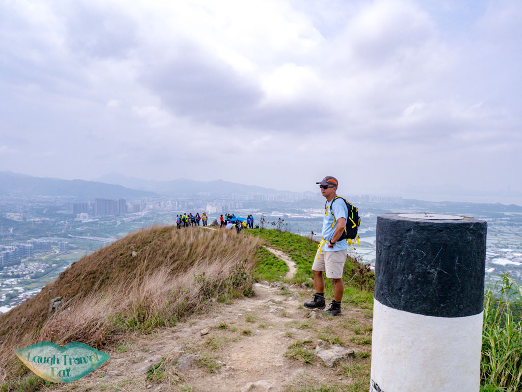
Note: Kai Kung Shan, which is shorter at 374, is also marked by a pillar but this isn’t Kai Kung Leng yet.
Kai Kung Leng Peak
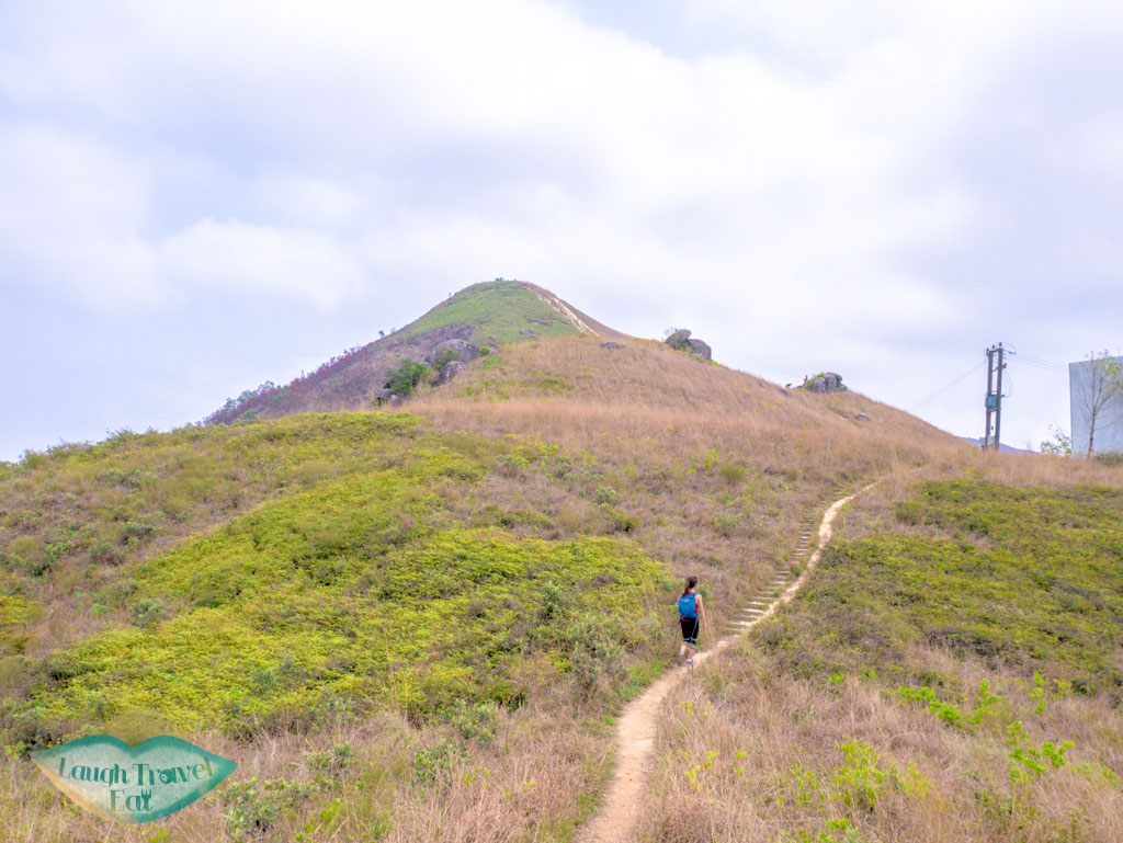
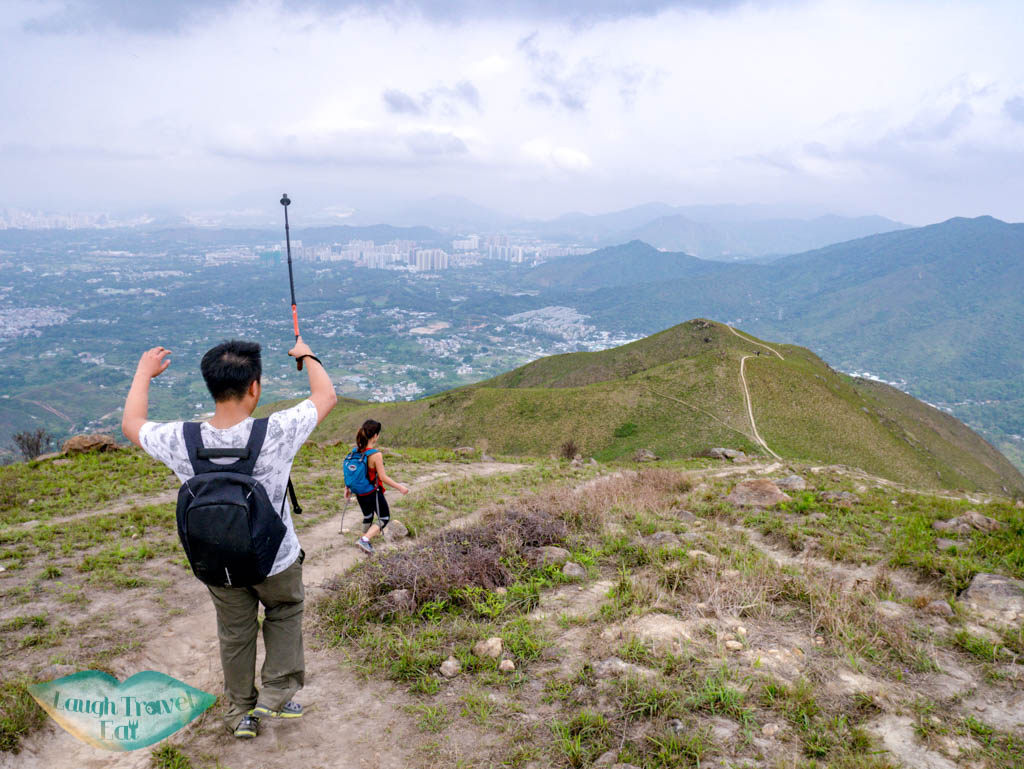
The next progress marker is the radio station, and then there are several clusters of rock outcrops on the way up. The hill after is Kai Kung Leng, standing at 572m tall.
After this, however, there are still a few more hills to conquer before we reach the halfway point. But going down is a lot faster than going up.
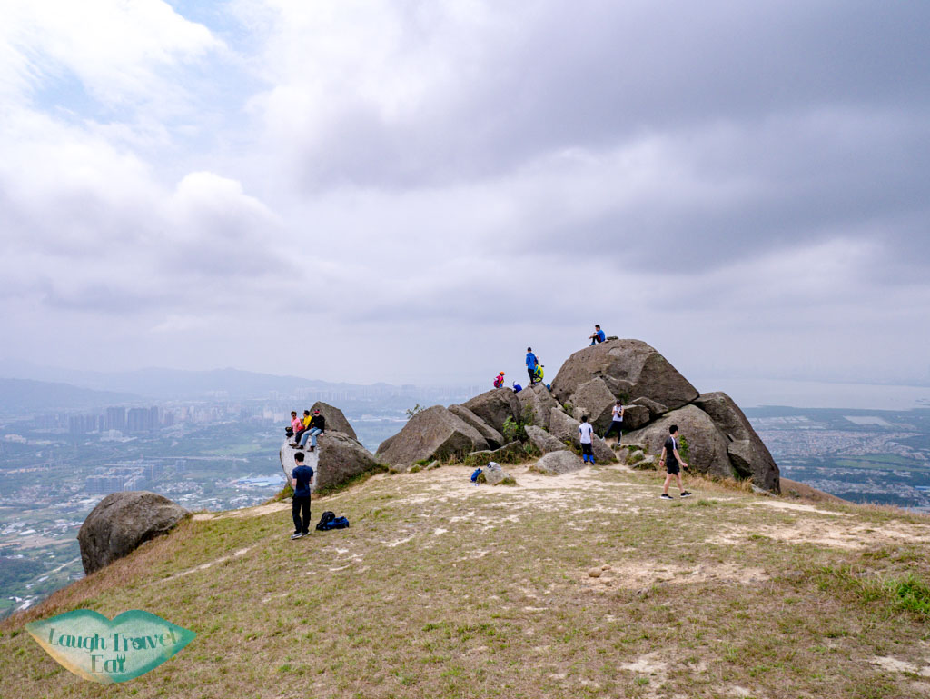
Big rock outcrops
While we have passed Kai Kung Leng, the hike up continues. This cluster of big rocks is another popular place to stop for a rest because it has the flattest hill side as well as a good view.
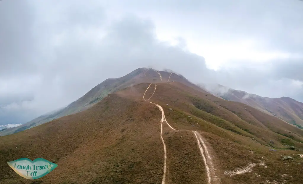
If you have a drone, it’s a good place to fly it, away from the electric cables at the start of the trail. One of the easiest way for me to remember when the end of the uphill battle is near is to look out for the path with three trails.
the 3 trail is the one at the very back!
Note: there are a few of these diverging paths going uphill. They all lead to the same main path so choose the one that look least strenuous (or more scenic!).
Going down
If you have a hiking pole, bring it too!
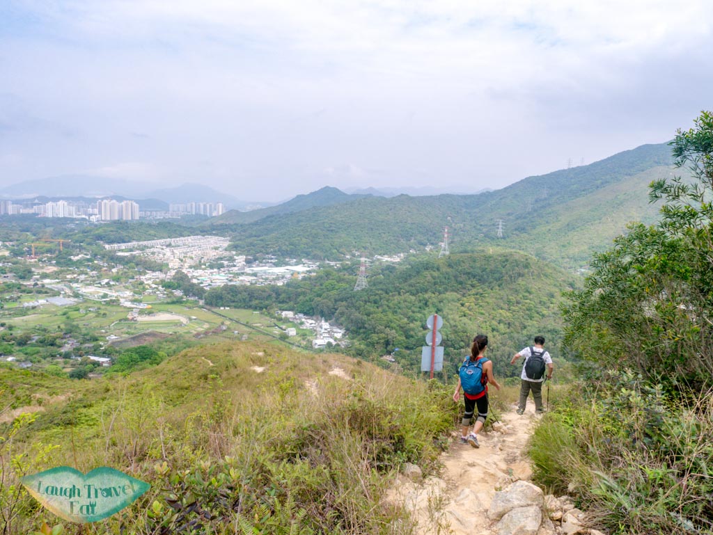
From there, the journey has reached the downhill segment. This is that part where your life will get a lot harder if your shoes doesn’t have a good grip. The second time I hiked here, my trainers weren’t really up to scratch and my knees hurt like hell the next day from the strenuous trek down.
wear the right shoes!
The key is to stick with either the part that has dedication pattern or by the vegetation. When in doubt, go down on your butt to avoid slipping.
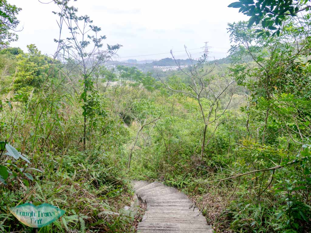
Again, it’s easy to see the entire trail as you go down. When you started to see a few concrete slabs on the path, then it’s almost at the end of the trail. Go right at a diverging point near a particularly big concrete slab and the path will take you down to the highway.
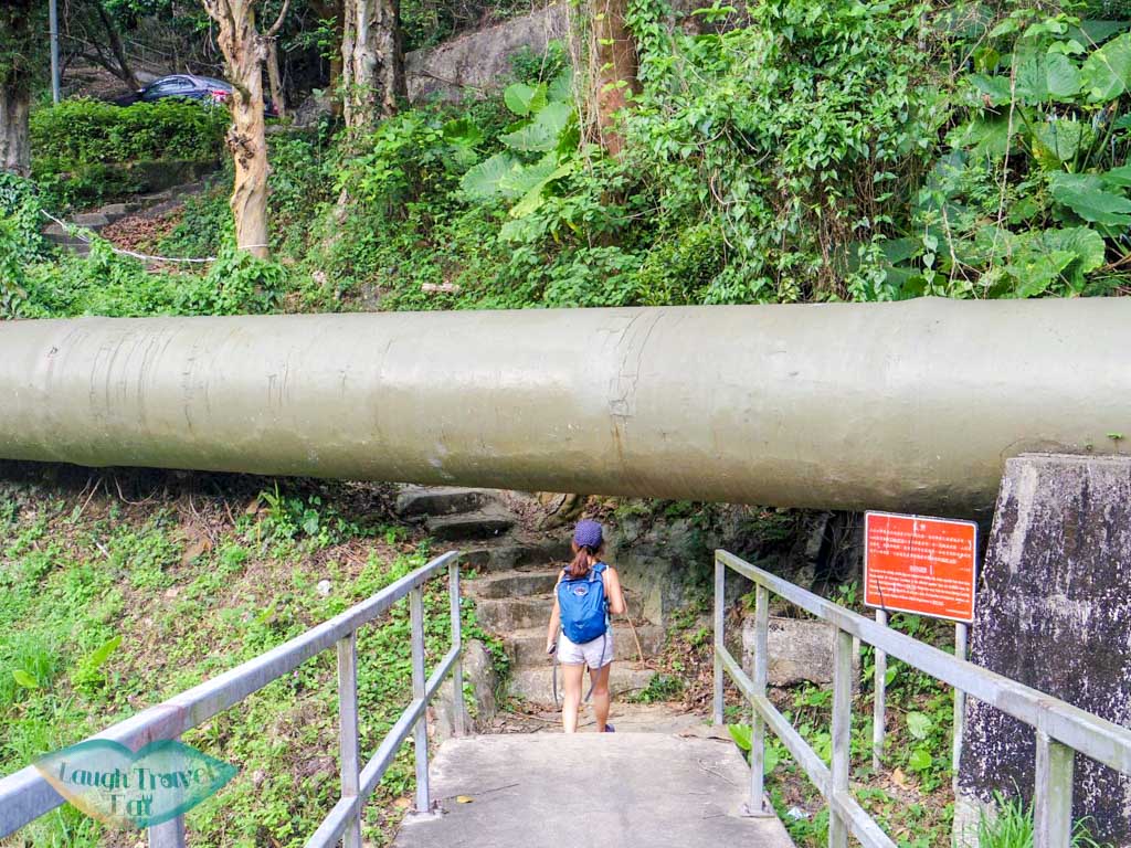
stairs at the end
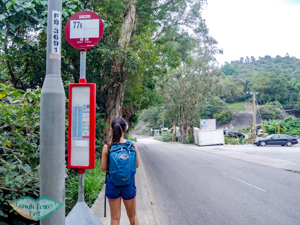
Getting out
Getting out of the main road
There is two bus stations nearby of the same line but going in different directions. The 77K can take you back towards Yuen Long or out to Sheung Shui.
Turn right when you exit the path, the bus station to Yuen Long is across the road and the one to Sheung Shui is further down on the same side as you exit across the bridge.
Pin me!Pin me!
Nam Cheah
Hi, my name is Nam. I am 24 and spent half my life in Hong Kong and the other half in UK. I believe there's endless experience and beauty in the world and this is me chronicling how to experience the best at the best price.
2 thoughts on “Kai Kung Leng: the velvet trail of Yuen Long”
Nadine says:
Hi.
I followed your instructions exactly on getting to the start of the trail. However, the bus driver of 603 told us that the bus cannot take us to Han Shan Keng. I showed him the photo u posted on the start trail even. The bus driver said the bus doesn’t go there.
Hi Nadine, I’m sorry to hear this! I have done this hike 4 times and always take this minibus, I’ll check with friends who live in that area to see if they can shine some light on this situation!