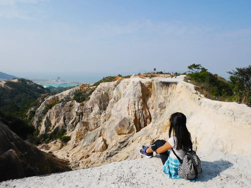
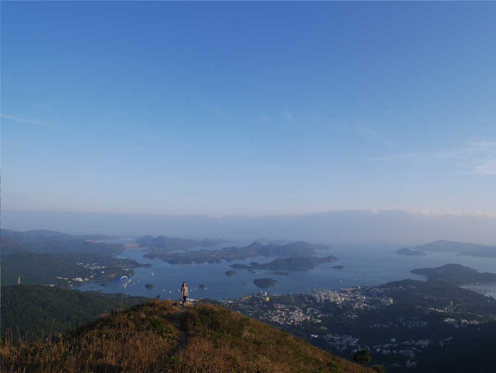
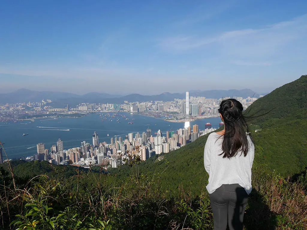
Fan Lau hike is one of the longest trails on Lantau Island outside of the hike up Lantau Peak that takes you to the southwestern corner of the island. Although the hike is 16km long, it runs mostly along the coast and is generally quite flat (for Hong Kong standards). It also takes you past the Fan Lau Fort, starting at Shek Pik Reservoir and ending at Tai O village. It’s a perfect intermediate hike to do on Lantau Island and a relatively off-beat choice.
> For the toughest hike on Lantau Island, check out Lantau Peak hike or the Middle Dog Teeth.
> See here for other Hong Kong hikes
Summary of Fan Lau Hike
Difficulty: 3/5 for the distance and lack of shade
Time taken: 5-6 hours, you should budget more if you plan on doing a proper lunch break
Pros: a relatively flat trail along the coast with a stunning view. You also get to see some historical sights on Lantau Island.
Cons: the first part of the trail is very boring. There is little shade along the way and no option to exit early.
What to pack for Fan Lau Hike
You can check my general day pack for all my essential hiking gear. But here is what you should have for Fan Lau:
- 2L of water in the summer, less for the winter. If you don’t generally drink a lot of water, you can adjust.
- Lunch – this is a long hike and you should bring lunch and snacks
- Hat/cap and sunglasses
- Sunscreen
- External charger – you would likely run out of battery if you have been taking photos
- Towel – for sweat
- Cash – you can get refreshments at Yi O Tsuen, so bring cash to pay!
The hike isn’t too difficult, but I do recommend hiking shoes, but trainers with good grip should be okay, too.
How to get to the start of Fan Lau Hike
The general consensus is to start at Shek Pik Reservoir so you end in Tai O where there are restaurants and is a bus terminus. I do recommend going this way so you can knock the boring part of the hike at the beginning.
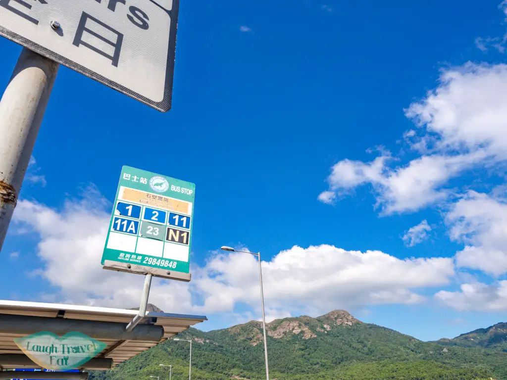
The bus stop you want to get off on is Sha Tsui on the west end of the Shek Pik Reservoir, which is by the campground and the public bathroom. This will be the last bathroom stop before you reach Yi O (and even that one is not good), so make sure to use it if you need to.
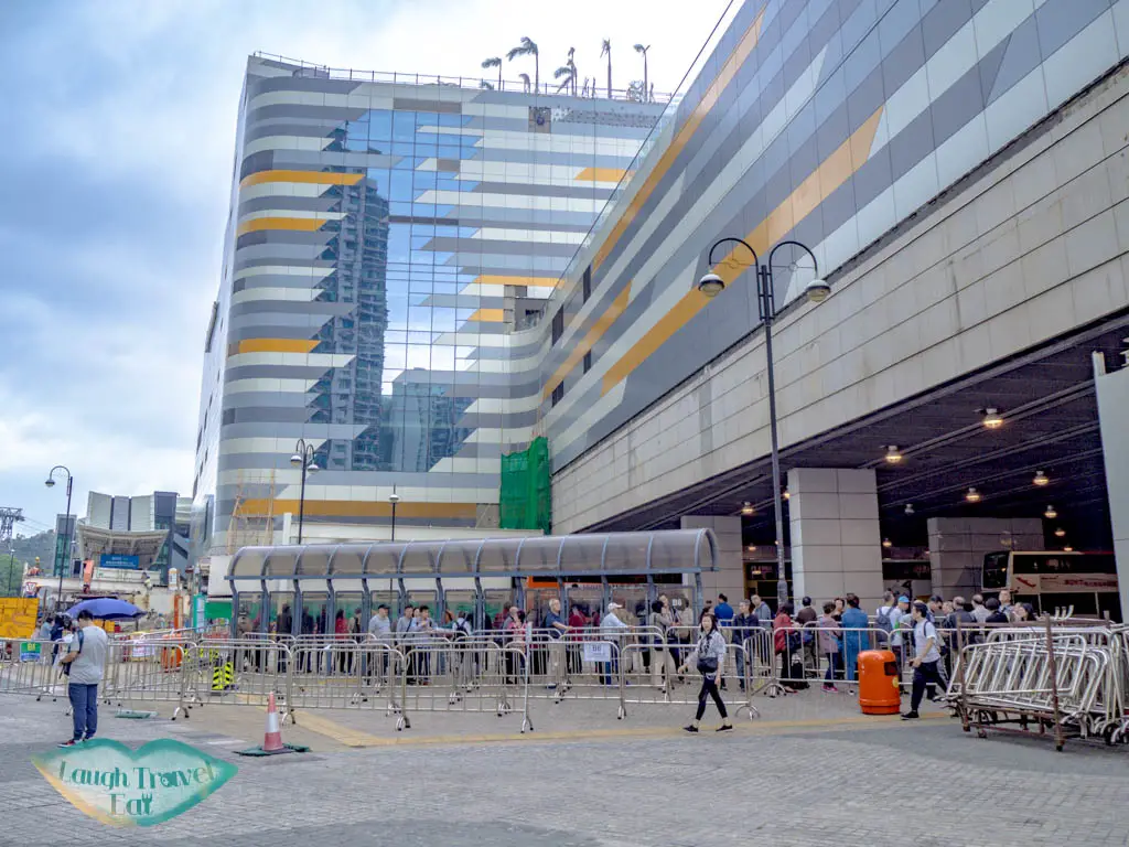
You can catch the bus 1, 2, 11, 11A, and 23 from Tung Chung, depending on which one is departing when you get there. Do note that all the buses have long queues during the weekends and public holiday, so budget an hour for waiting and transport.
Fan Lau Hike
Shek Pik Reservoir to Kau Ling Chung (Lantau Trail Section 8)
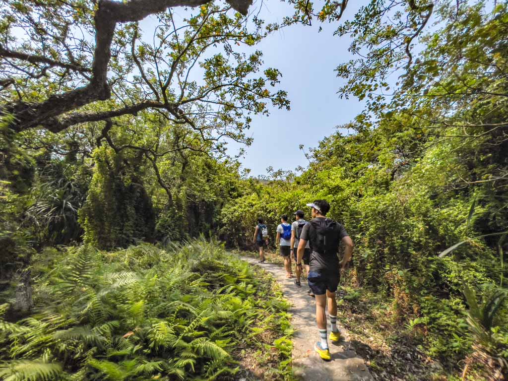
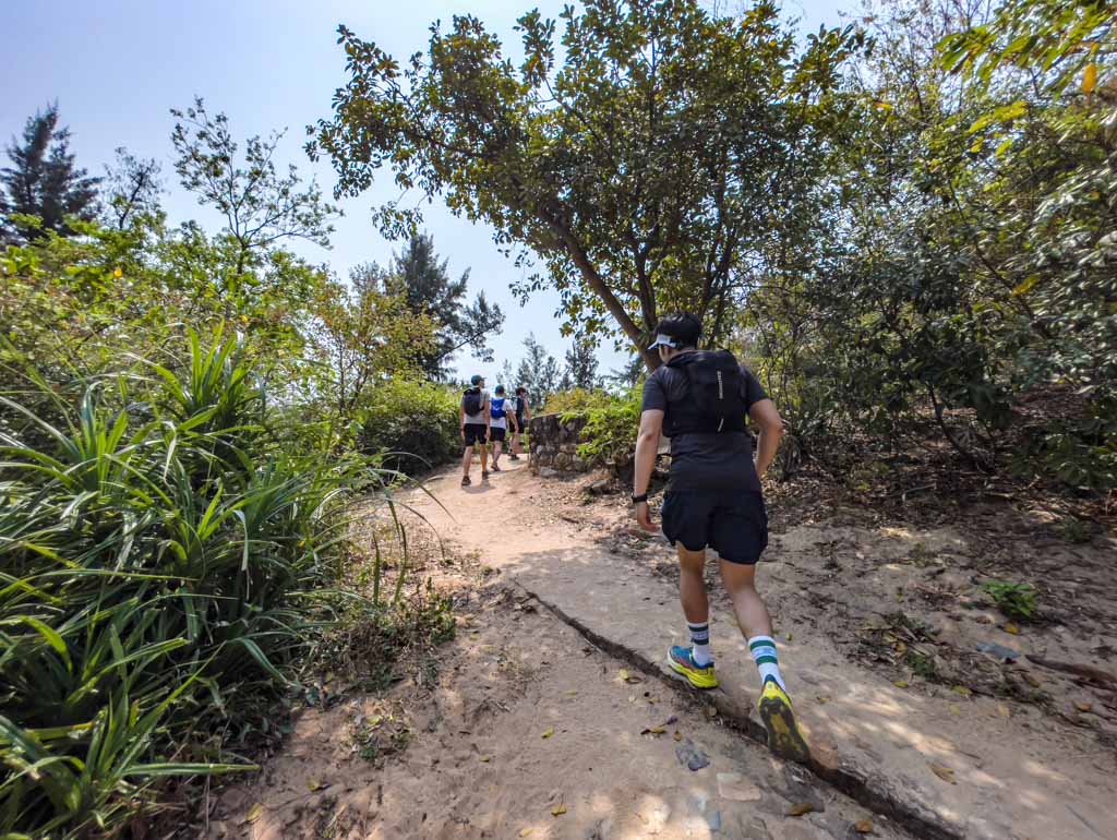
Once you get off the bus at Sha Tsui, go up the stairs to the public bathroom and then go left, following the road. This is pretty much what the hike is going to be like for the whole section.
The trail does go generally uphill so don’t expect it to be a total breeze. It also runs along the water catchment for a long stretch. We eventually made it higher and see glimpses of the sea.
There are also some signs along the way. There aren’t many branch-offs, when there are, just follow the wider concrete one. And the sign pointing to Kau Ling Chung.
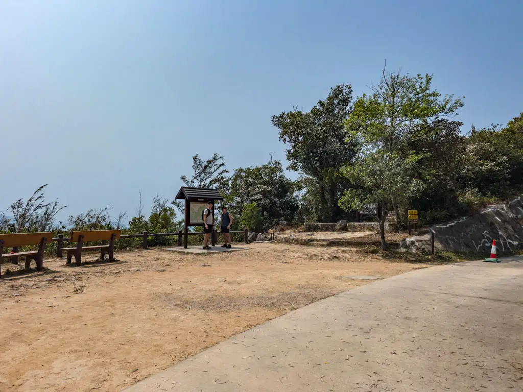
At the end of the Lantau Trail section 8 (which links to section 7), you’ll be close to Kau Ling Chung. Turn left onto the country trail and officially leave the tarmac road behind! It is a big open space left of the trail with picnic tables and benches and a signboard, so it’s hard to miss.
Kau Ling Chung
The trail goes down towards Kau Ling Chung and once you reach the junction head to the Lantau South Obelisk by following the signpost.
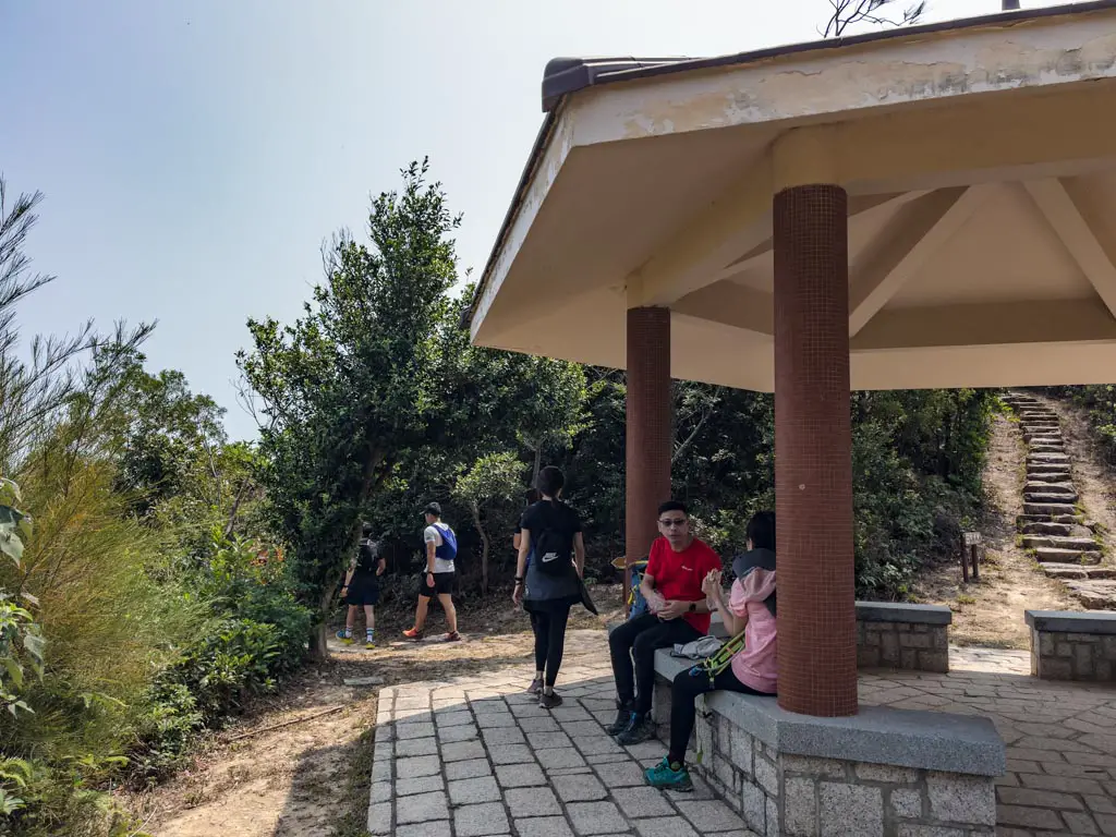
The trail then loops to a pavilion then around and up – you can skip this if you don’t want to see the obelisk, but I think it’s a worthy detour.
Lantau South Obelisk
The Lantau South Obelisk marks the southernmost point of Lantau Island and the former boundary of the British Territories.
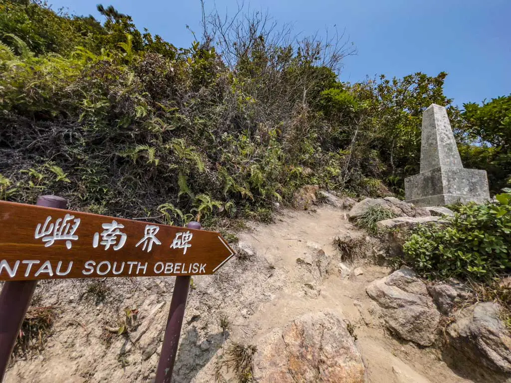
After seeing the Obelisk, we turn up and then loop back down to the same pavilion. You can see all the way to Fan Lau from the trail on the way up and back.
We stopped at the pavilion for lunch and it’s my duty to tell you that this wasn’t even halfway!
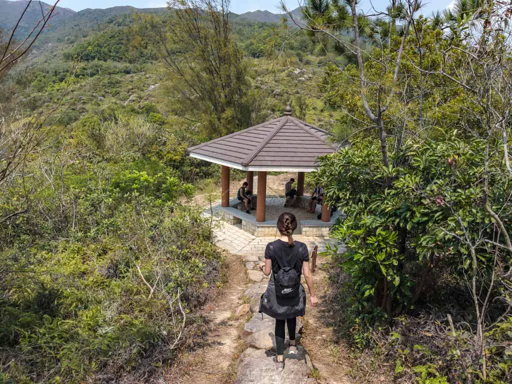
From the pavilion, we carried on and headed towards Fan Lau and Fan Lau Country Trail. It joins back on the path and we headed left, and it felt like one of the ancient trails dotted around Hong Kong that served as roads for remote villages.
We ended up going down and then crossing a bridge to the beach. You don’t have to go to the beach which is also the Kau Ling Chung campsite, but we snooped before carrying on.
There is a big triple junction and we turned left to Fan Lau following the sign.
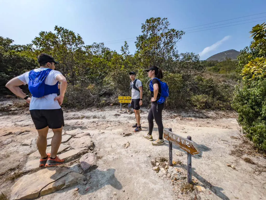
We are now much higher up and have views of both beaches as we hiked along. Then we reached the Fan Lau Country Trail.
Fan Lau Country Trail
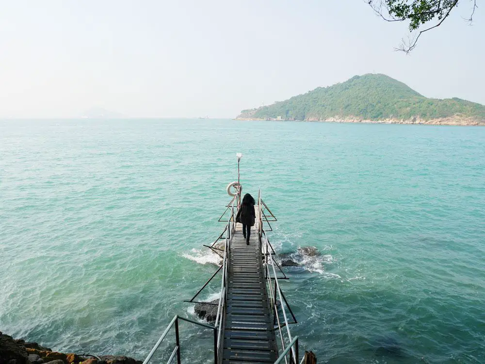
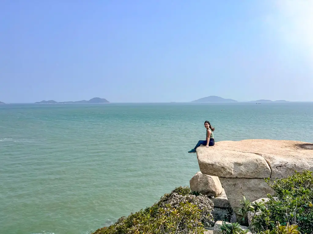
The Fan Lau Country Trail took us down to the beach and then back up to the most famous photo spot of the hike: a flat rock that juts out to the sea.
It is a great place to take some photos, but if you’re not fussed, you can head straight to the Fan Lau Fort.
Former Fan Lau Fort
The Former Fan Lau Fort was believed to date as far back as the Ming Dynasty to defend against the pirates. But the earliest record wasn’t until Qing Dynasty in the early 18th century. It is of strategic naval importance as most ships pass by in order to reach other places in the delta region and there were twenty barracks and eight cannons here in its height.
The fort was built with local porphyritic granite and grey bricks, measuring 21m by 26m. The fort was abandoned either during the British colonial time or after the 1898 leasing to the UK.
Note: you can also hike out to Fan Lau Lighthouse, but it is a much harder climb, which we did not attempt due to time constraint.
Fan Lau to Yi O Tsuen
From Fan Lau Fort we carried on and generally went downhill. We skipped this stone circle and passed by a Tin Hau temple much further down at the coast, and the trail became shaded again along the rocky beach.
We first passed by the Fan Lau Village first and followed the sign towards Tsin Yue Wan Campsite.
The trail remains more or less the same and we just carried on until we reached the Yi O Kau Tusen.
Yi O Kau Tusen
Yi O Kau Tsen turns out to be a farming village with a cute self-serviced self-payment system. We found a vegetable store at the junction, and the cafe behind was also self serviced self payment!

After enjoying a cold drink, we carried on and walked past rice paddies and onto a flat trail.
According to the cute signs, we were about an hour away from Tai O.
Yi O Tsuen to Tai O
The hike to Tai O was generally flat and along the coast, treating us to a great golden hour view.
We ended up spending some time at a pier taking photos before carrying on. We passed by the Nga Ying Kok Campsite and then it was a short walk until we reach the Tai O.
The trail ends at the famous pink bridge and it’s a short walk to the bus stop and public bathroom once you reach the end.


 中文 (香港)


