Asia, Hike and Nature, Hong Kong
Lion Rock Hike: how to hike up the iconic Hong Kong mountain

Dec
Lion Rock hike is a rite of passage for Hong Kongese, as it is the spirit of Hong Kong and the most distinctive mountain along the Kowloon mountain range. Though not as famous as Victoria Peak to visitors, Lion Rock is one of the most accessible urban hikes in Hong Kong.
It is an easier trek than the famed Kowloon Peak with Suicide Cliff, and if you’re wondering how to go to Lion Rock, here’s all you need to know about the best lion rock viewpoints, how to get to Lion Rock, and how to hike Lion Rock:
Contents
Lion Rock Hong Kong summary:

Lion Rock Hike Difficulty: 3/5 with options to skip the ascent to the lion rock itself and continue on
How long does it take to hike Lion Rock? Around 3 hours depending on where you end the trek. I would budget 4 hours to hike it so you can admire the view.
Pros: fairly close to public transport and easy to reach, magnificent view of Kowloon Peninsula and Victoria Harbour
Cons: many people are also on this trail
Lion Rock Trail Overview
The Lion Rock mountain or Lion Rock Hill is the most prominent peak on the mountain range that separates the Kowloon Peninsula from New Territories. It straddles Shatin and Wong Tai Sin and is part of the Lion Rock Country Park. Sometimes called the Lion’s Rock hike or even the lions rock hike, it’s not the easiest hiking trail in Hong Kong but is a must-hike in my opinion.
It resembles the profile view of a lion resting and stands at 495 m (1,624 feet) high. The Lion Rock hiking trail is relatively well shaded until you ascend to the Lion Rock peak. But at the top, you can see all the way across the Victoria Harbour and also see the Shing Mun River, Tolo Harbour, and all of Shatin behind.

Lion Rock Hike Starting Point
Hiking Lion Rock can be done in several different ways as there are three different starting points for the Lion Rock trail. Two of them are at Wong Tai Sin, while the other is longer and ends at Shatin. Here are the 3 Lion Rock hike starting points:
Wong Tai Sin to Lion Rock
There are two ways to get to Lion Rock from Wong Tai Sin, one of which is also walkable from Lok Fu. This is usually a loop trail and you can start from either side.
- From Shatin Pass Road
- From Lion Rock Park
Shatin to Lion Rock
Hiking from Shatin to Lion Rock will take longer but it’s a nice, shaded walkway that ends at Shui Chuen O near Shatin Wai Station. You can’t do the Lion Rock hike from Tai Wai.
Lion Rock Hike map
The start and endpoints for the Lion Rock hike trail are interchangeable, and both are equally in difficulties. It depends whether you want to extend the trek from Shatin Pass onwards, where you can either go to Shatin or head up to Temple Hill even. I’ll cover both starting points here (which can also act as the endpoint in reverse).
Shatin Pass to Lion Rock Park Lion Rock Hike route
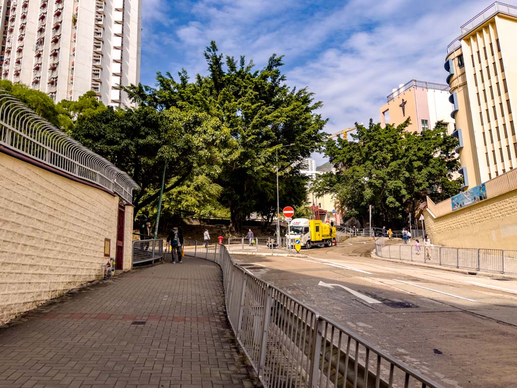
From Wong Tai Sin MTR Station, take exit E to the Wong Tai Sin temple – if you want to use the bathroom one last time, take the exit to Temple Mall North and use the bathroom there.

from the mall, go towards the temple This is the suare in front of the temple, go left towards the minibuses

Go past the Wong Tai Sin Temple away from the mall towards the mountain side (north). You should see the minibusses at a road in front that doesn’t connect to the main road to your right.

Minibus from Wong Tai Sin to Lion Rock Shatin Pass Road start
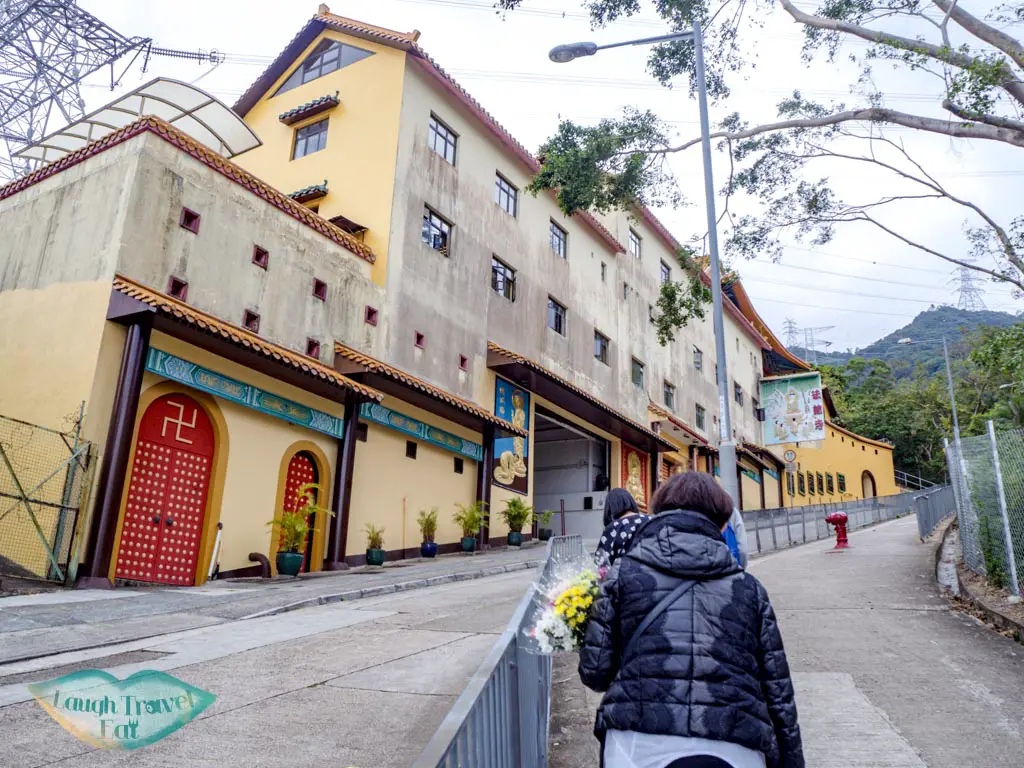
The minibus you need is 18M and you get off at the Fat Jong Temple and walk up along the Shatin Pass Road.
Walk up from Wong Tai Sin To Shatin Pass Road start
Alternatively, you can also walk up but it is an extra (and fairly steep and long) walk. But consider it a good warm-up!

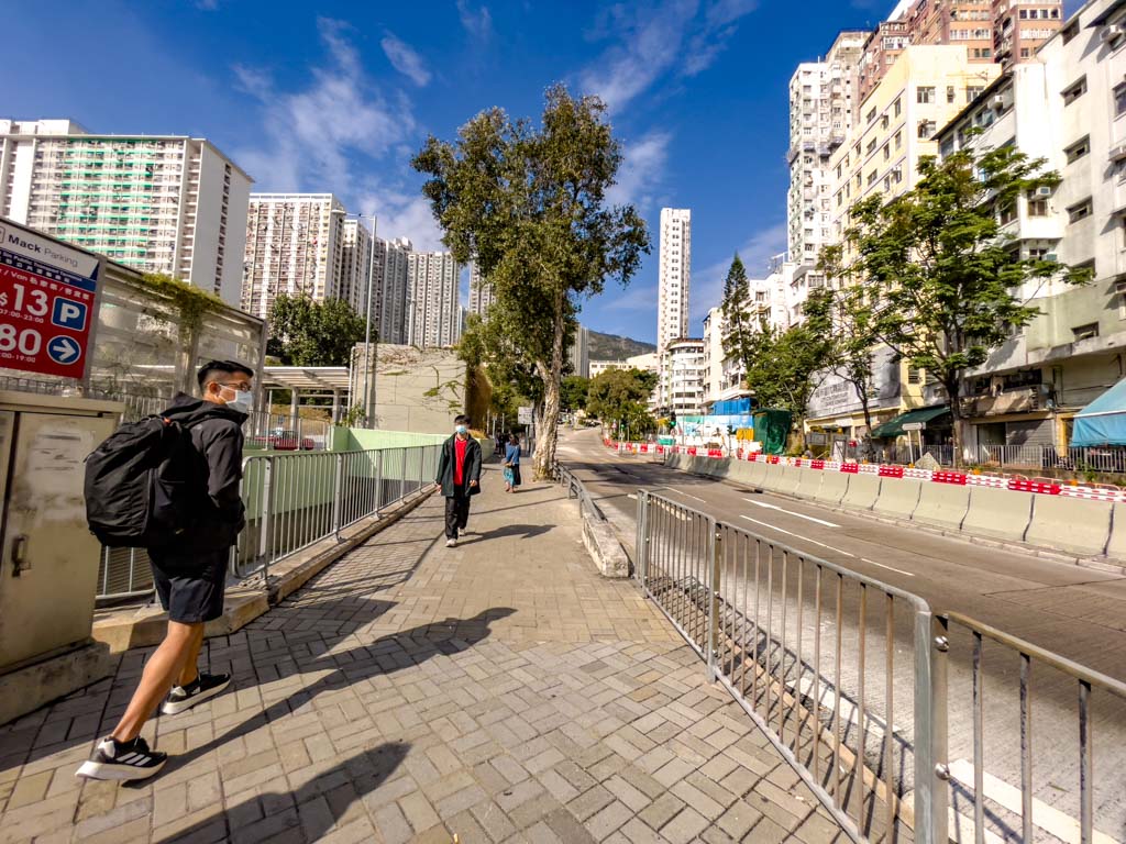
Stick to the left side of the road and head up from the minibus stop. You’ll cross the road and going uphill the whole time.
junction to the top right
passed the junction continue up Shatin Pass Road
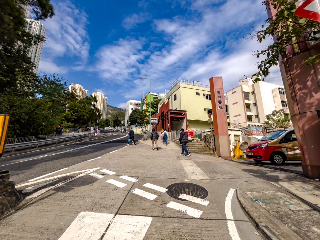
Once you passed the junction and get on Shatin Pass Road, you can walk up either side of the road until you reach Fat Jong Temple.
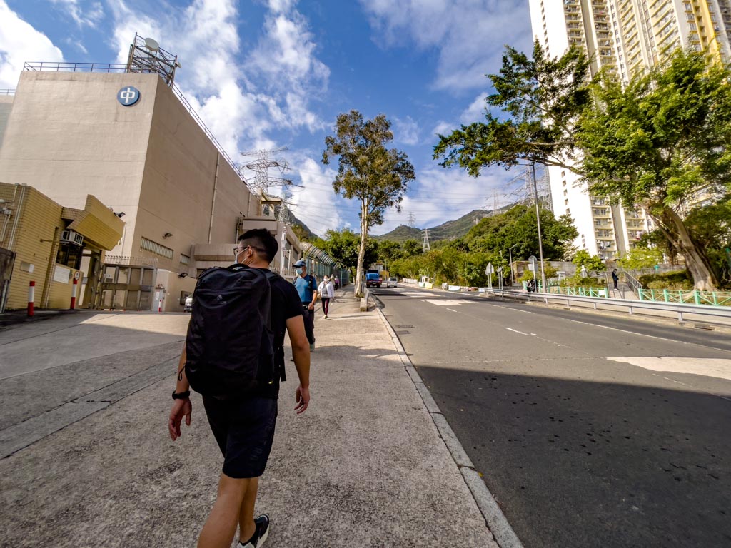
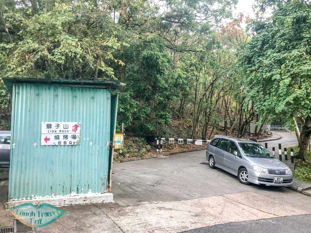
Fat Jong Temple to Lion Rock Trail Start (along Shatin Pass Road)
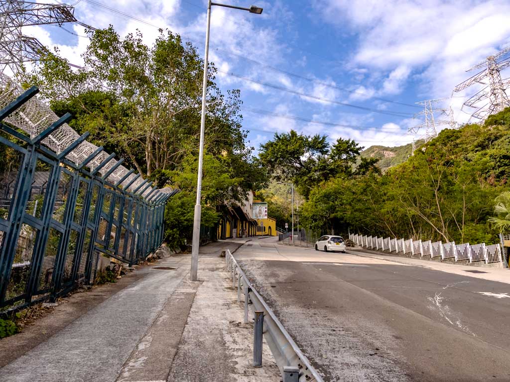
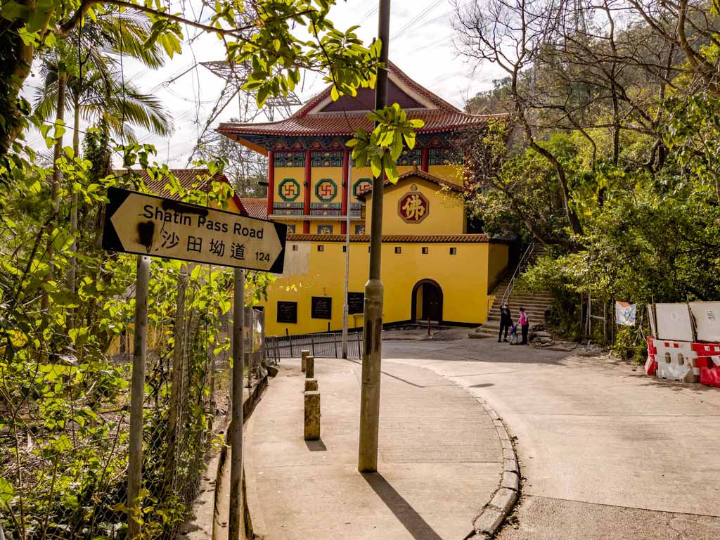
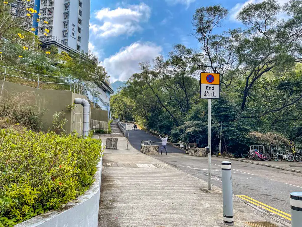
Once you reached Fat Jong Temple, the pavement ends and you’d have to walk along the Shatin Pass Road up. It’s steeper than the walk up so far, but you need to be mindful of cars going up.
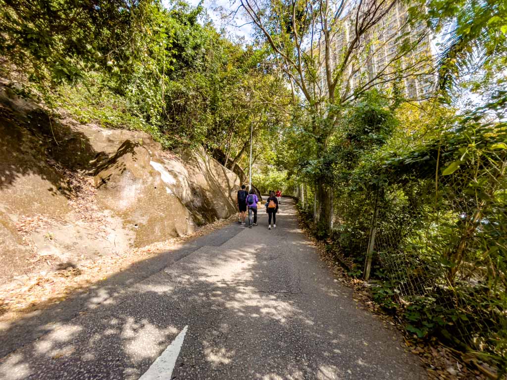
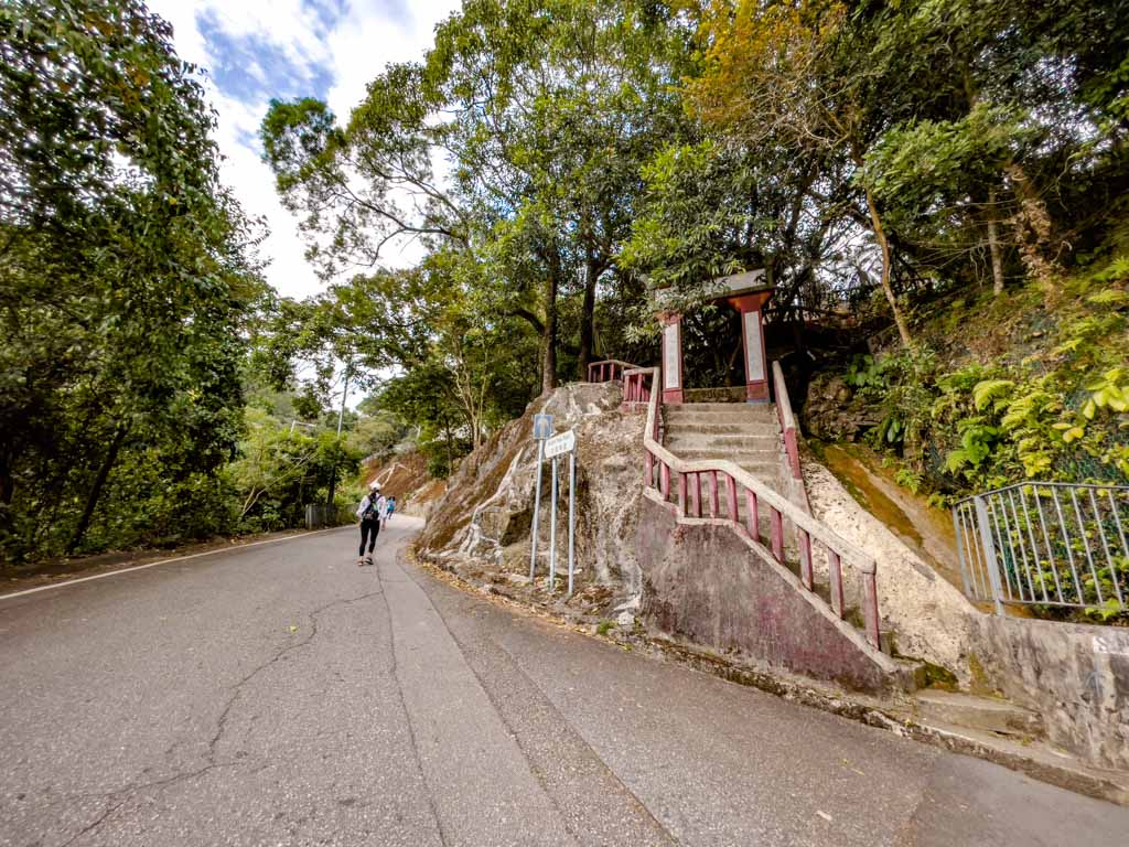
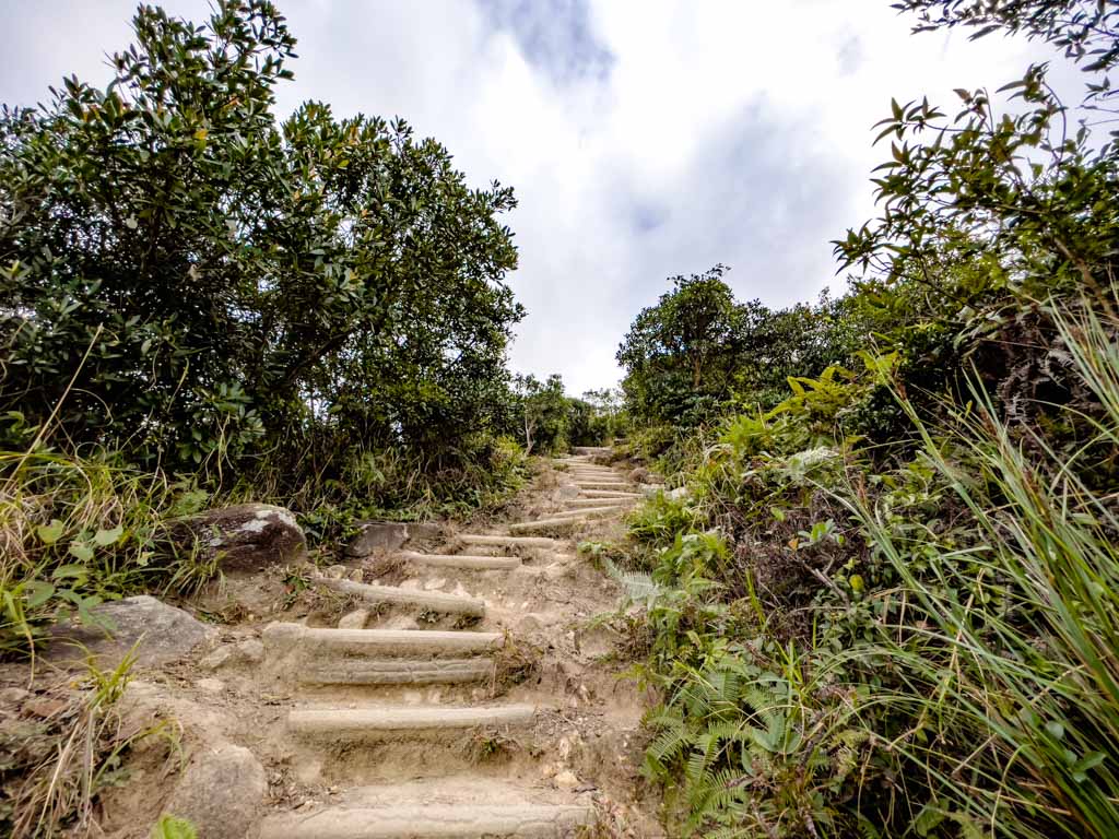
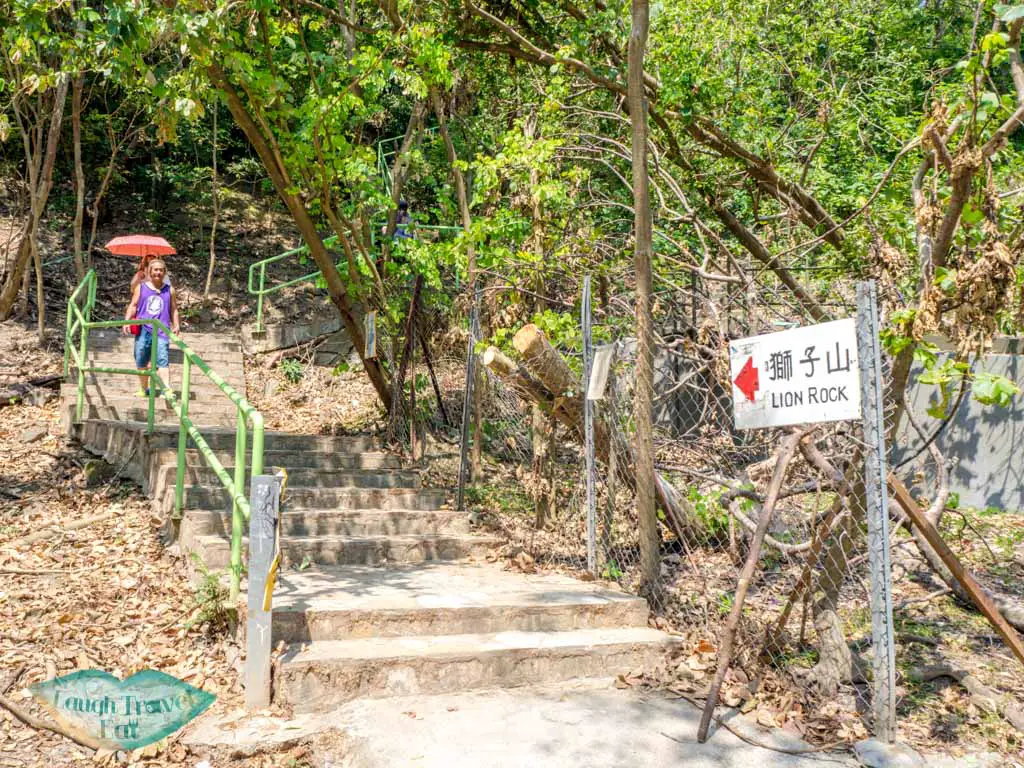
It’s not a very interesting part and sometimes we jokingly call it the Lion Rock walk. Just carry on up until you see the stairs (photo above). Don’t go up – carry on walking along the main road until you see the Lion Rock Country Park sign below.
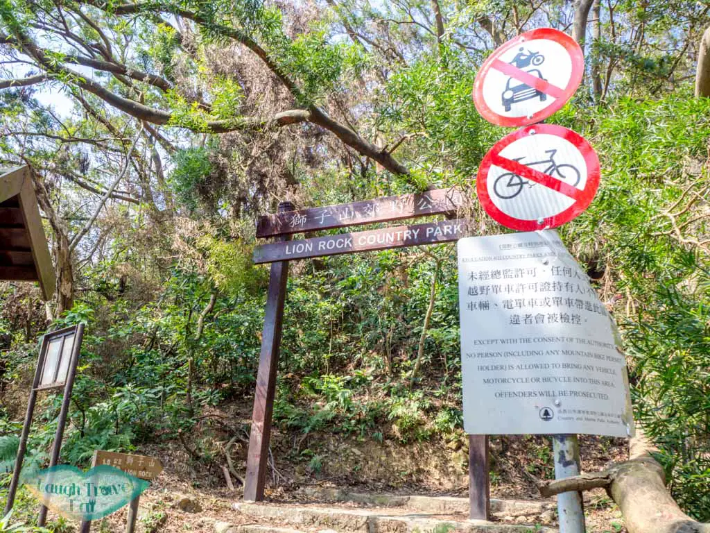
If you want as little walking before the trail starts as possible, you can also get a taxi to drop you off at the Lion Pavilion at Shatin Pass, which is by the trail start.
Lion Rock Trail to Young Lion Au
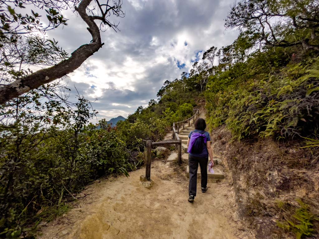
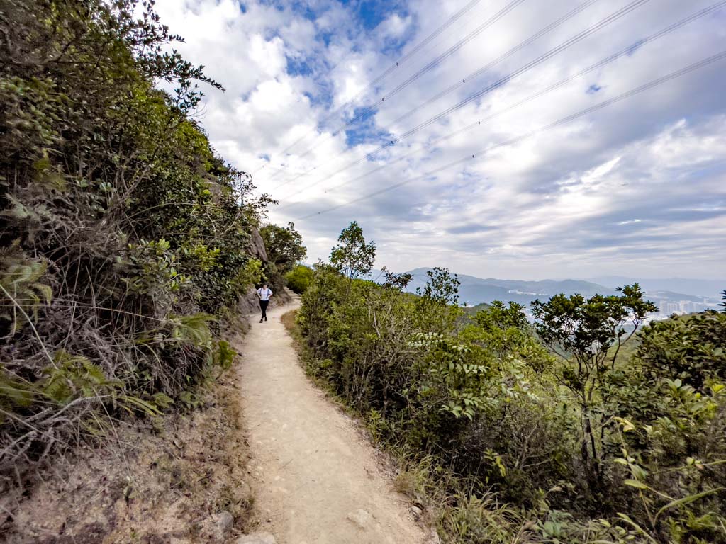
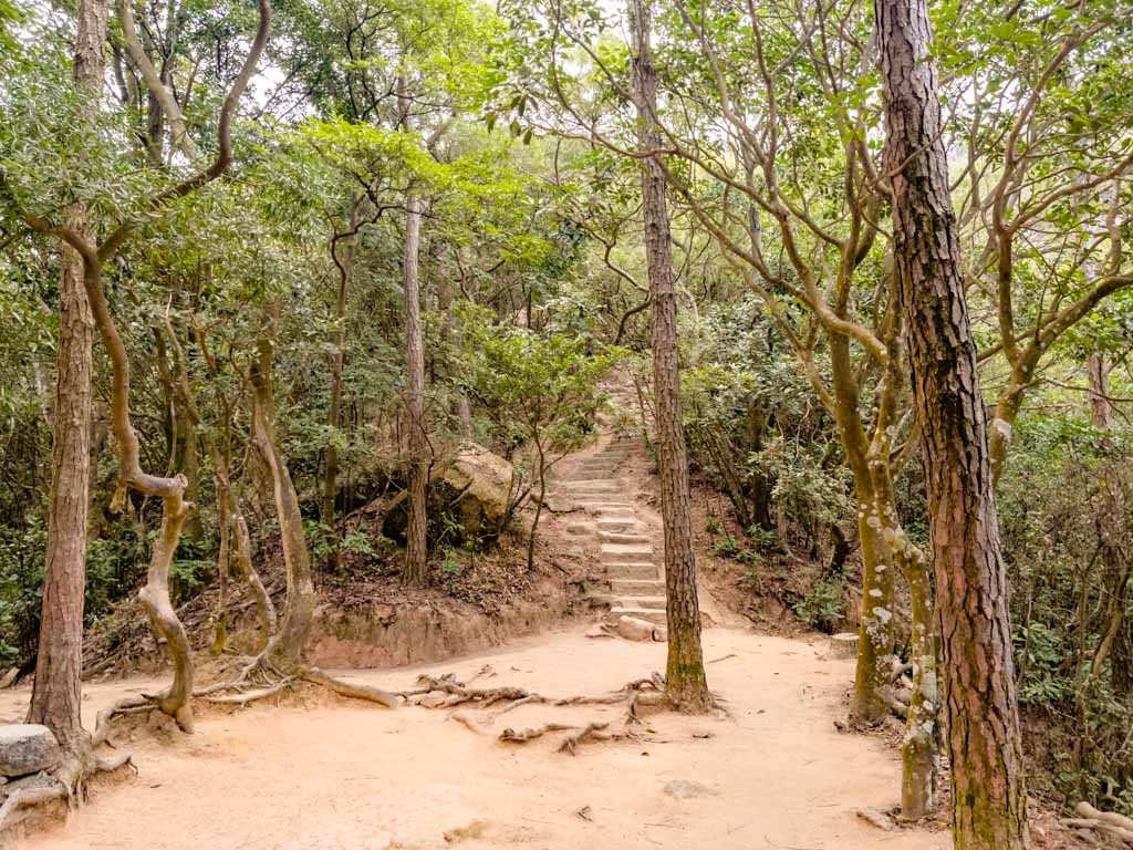
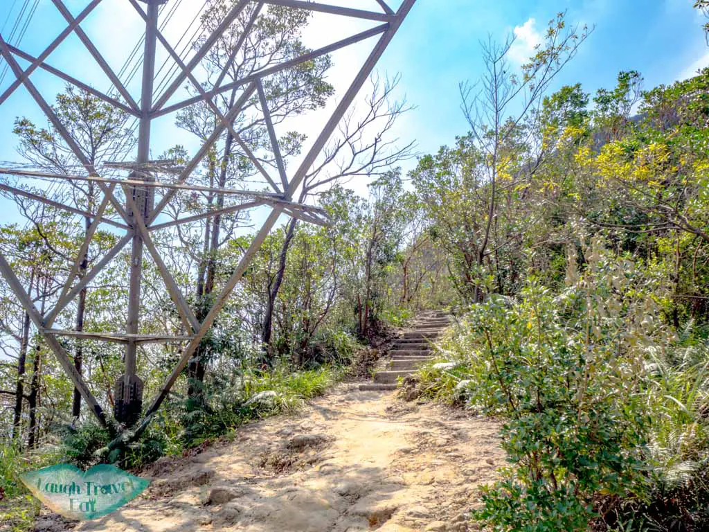
Here is where the trail really begins and we finally step foot on stone stairs and dirt trail. The stairs ascend quickly under the sparse shade of surrounding trees, and if you look back you can see Kowloon Peak.
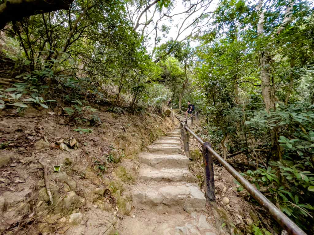
The hike becomes flater eventually and reaches a scenic part with railing and stairs. Don’t forget to take in the view because the next place you can see the view is at the top of Lion Rock.

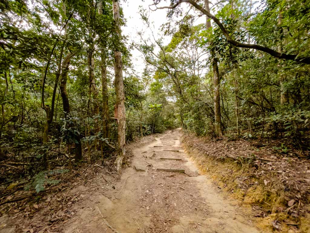
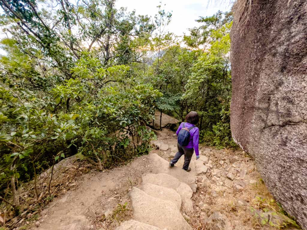
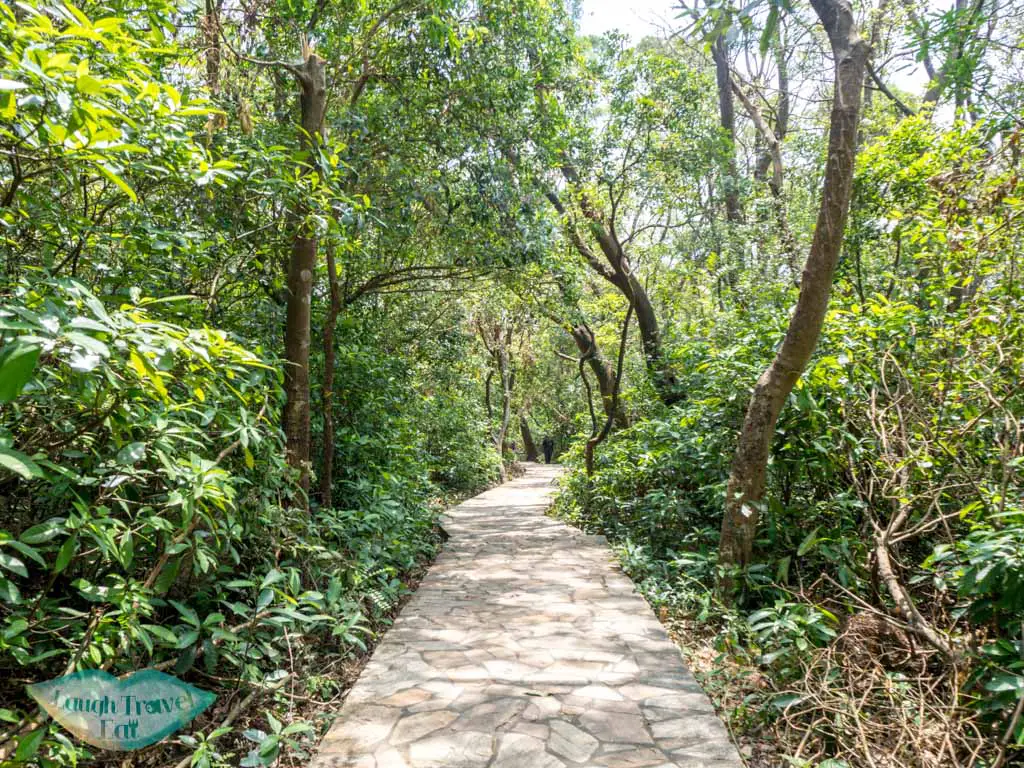
Then we are back in the forest but the trail also becomes horizontal as we arrive at Young Lion Au.
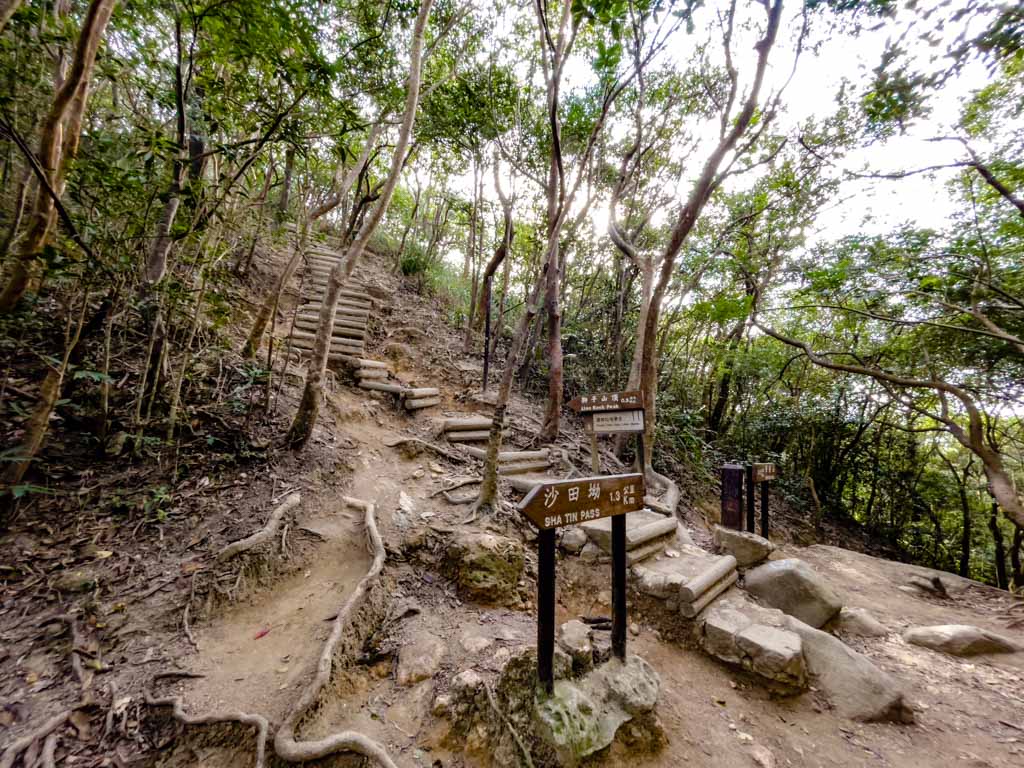
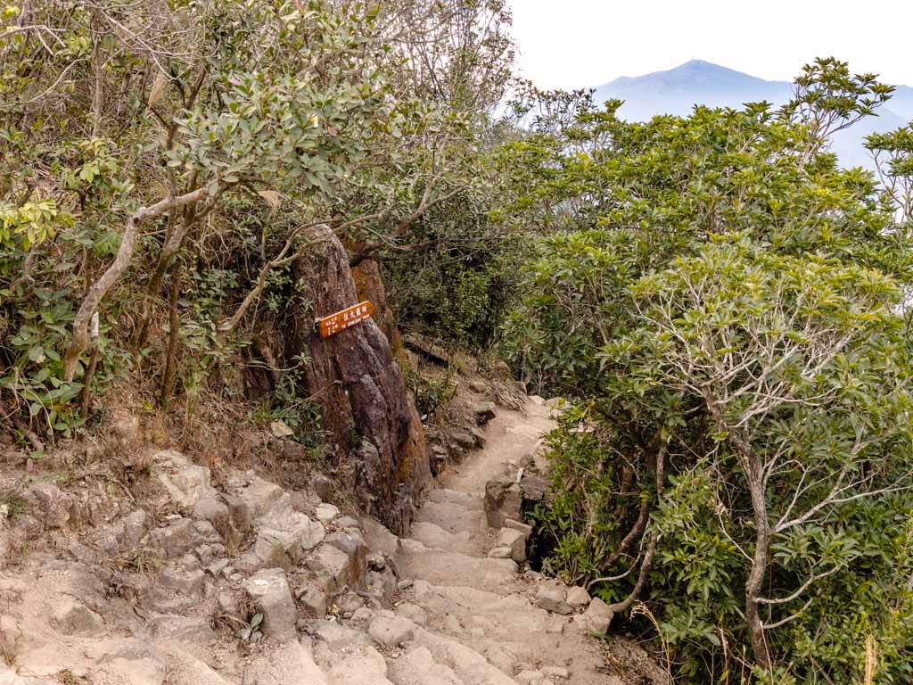
Junction pointing to Shatin Pass Road We’re going towards Beacon Hill
MacLehose Trail Stage 5
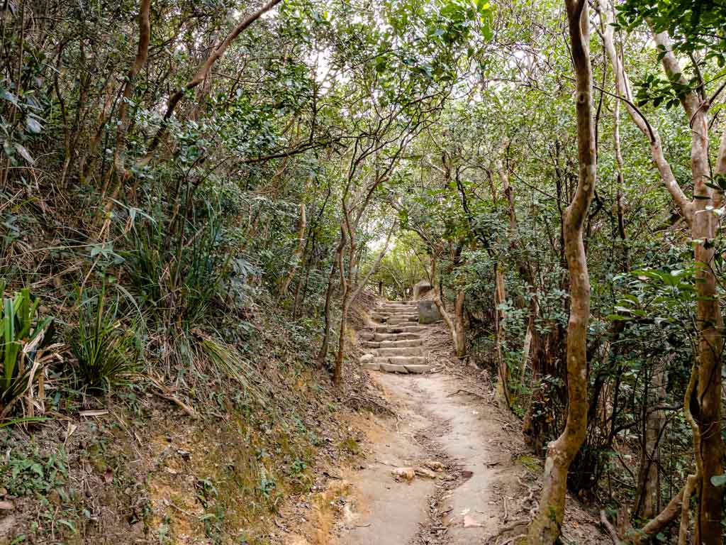
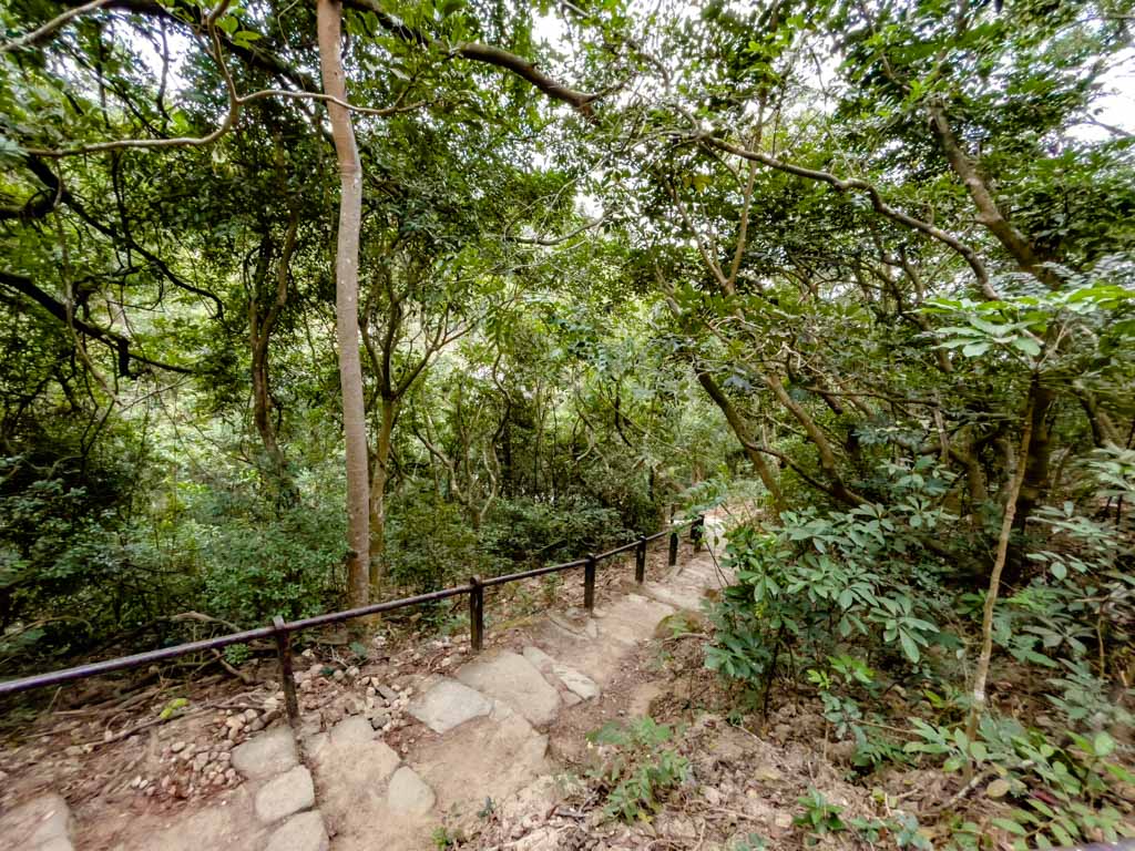
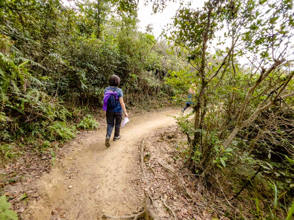
From Young Lion Au it’s an easy walk on dirt trail and some stairs to the Garter Pass. Thie part of the trail is behind Lion Rock and you can catch glimpses of Shatin to your right.
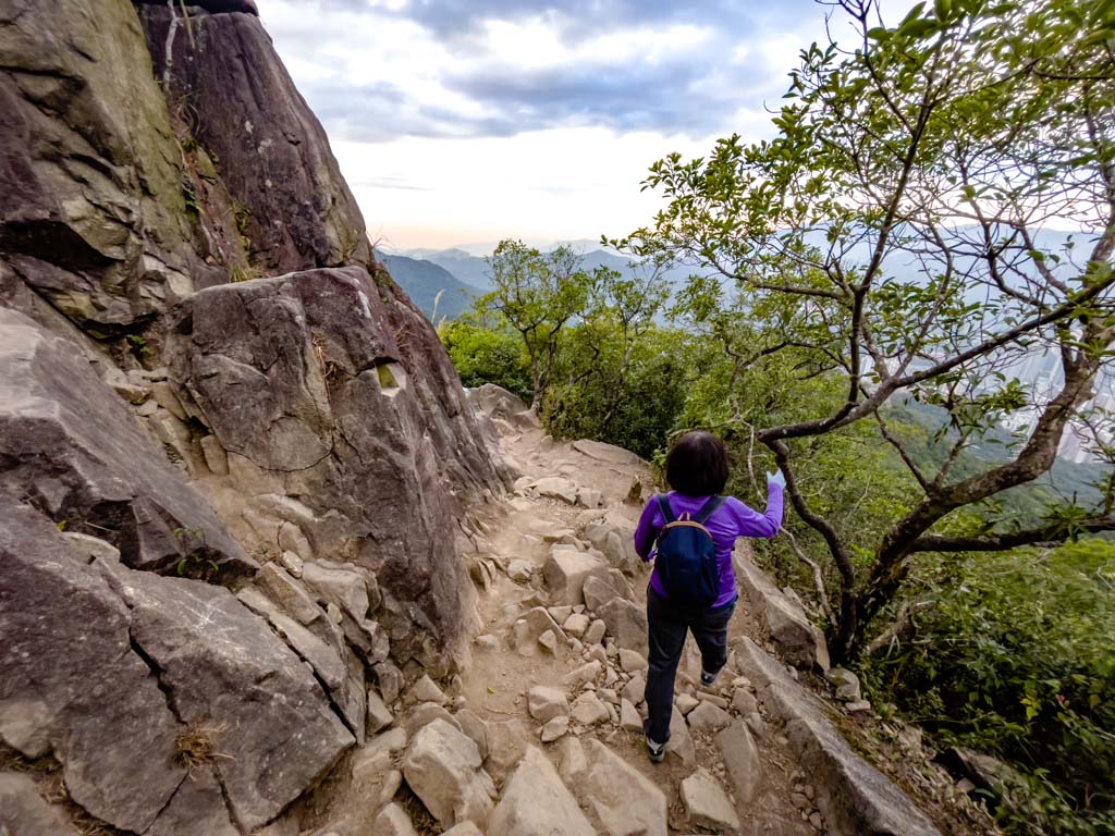
Garter Pass to Lion Rock Tail
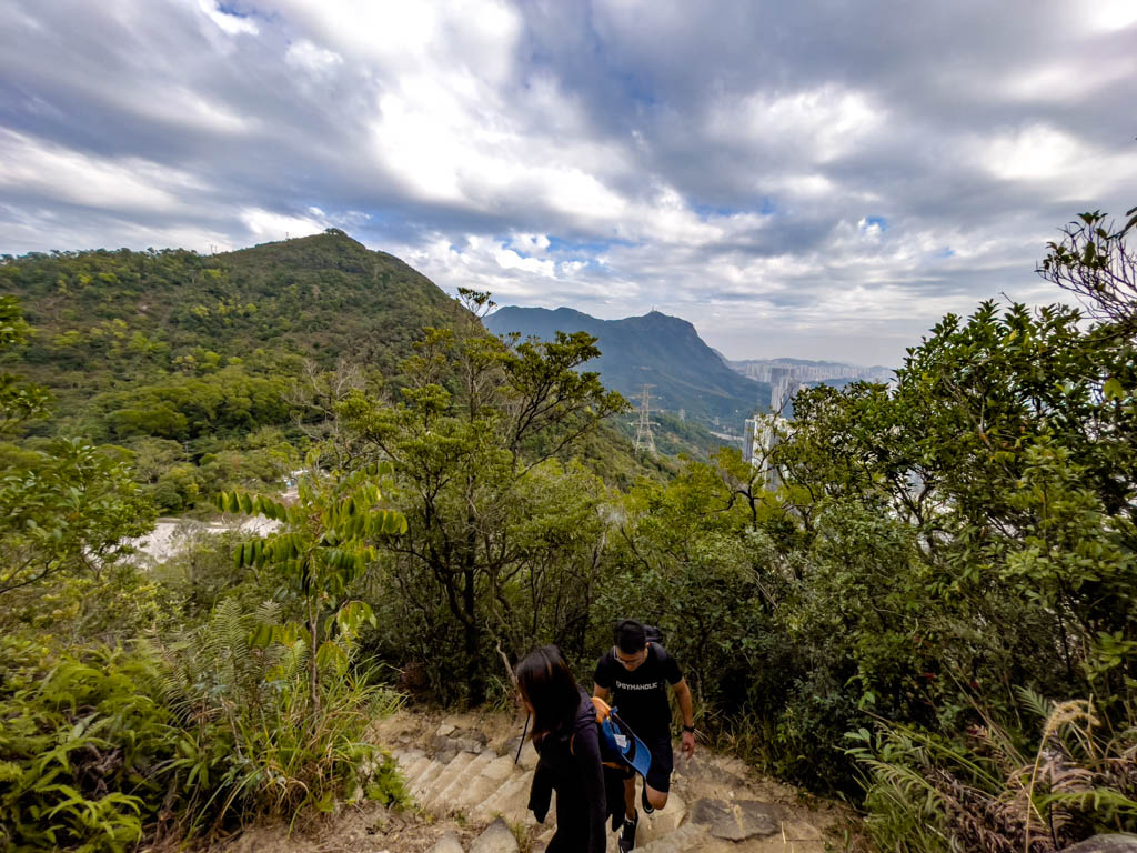
This is the steepest part of the trail. You can actually skip hiking up the Lion Rock Mountain altogether and carry on the trail, which will meet back near the Kowloon Pass.
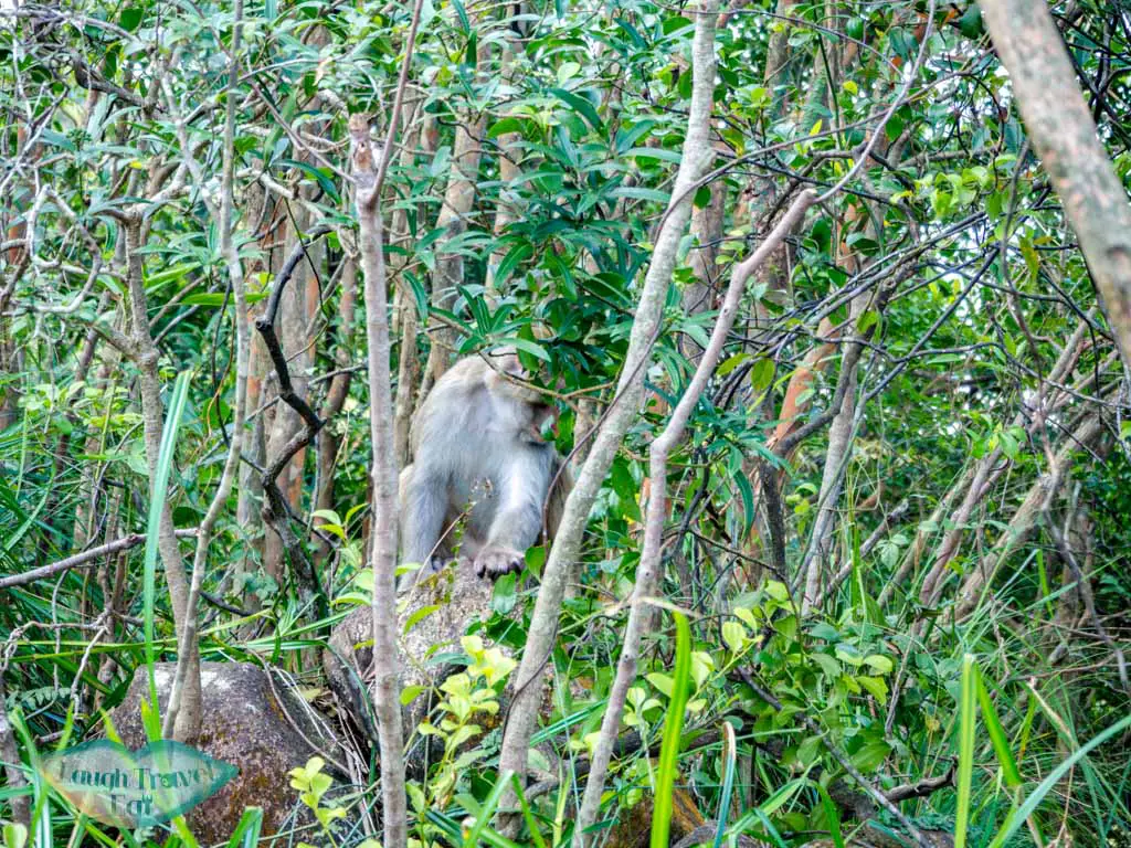
But since most people do this hike to go to Lion Rock, you need to go up for 15 minutes or so. Do take a break if you are tired. Sometimes, you might see a monkey or two (I did this hike 5 times and only saw them once).
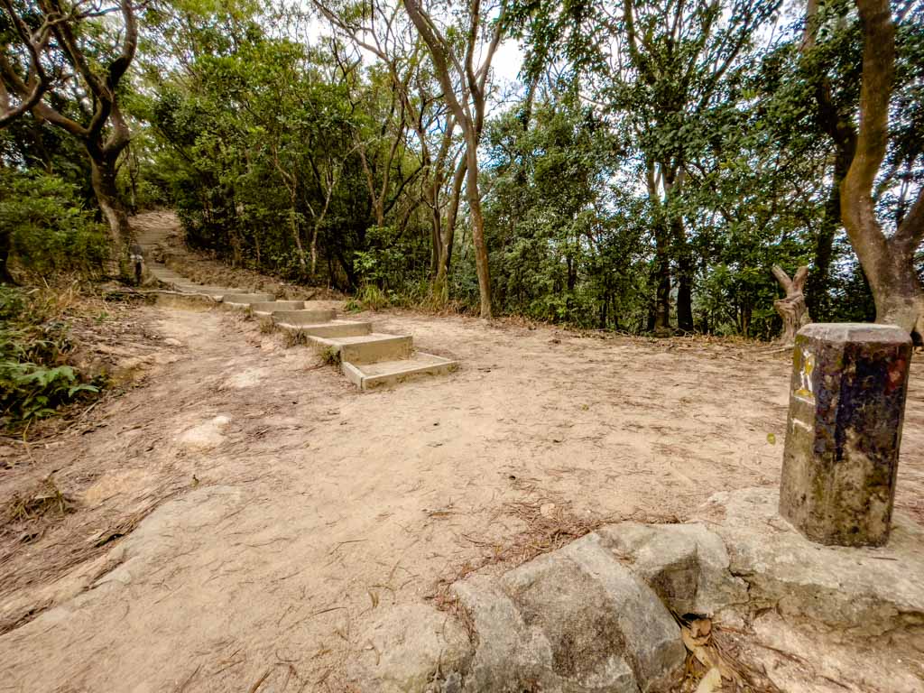
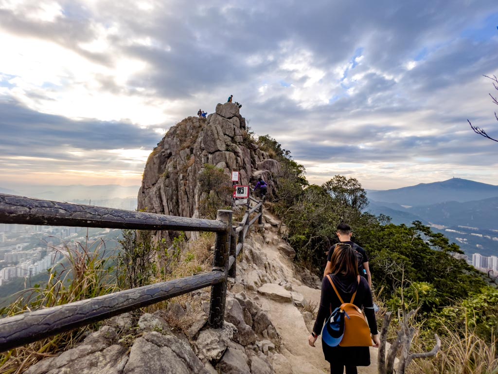
Lion Rock Tail (495m)the Lion Rock Tail
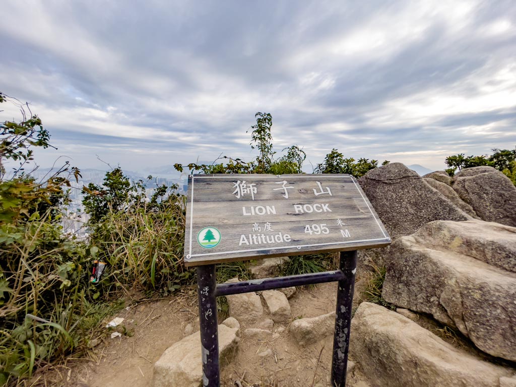
The Lion Rock Tail is actually the highest point of the hike and not much of a viewpoint itself. So take a photo with the sign and make your way along the spine of the lion towards its neck.
This is by far the best photospot:

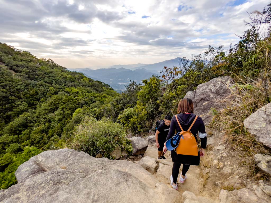
The trail continues to the right and then it’s a slight dip then up to the neck of the Lion.

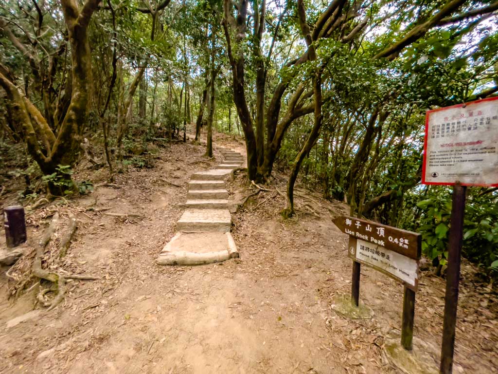
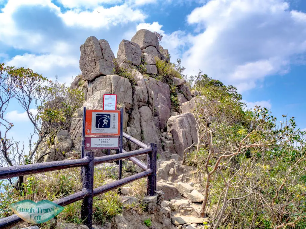
Lion Rock Peak (493m)

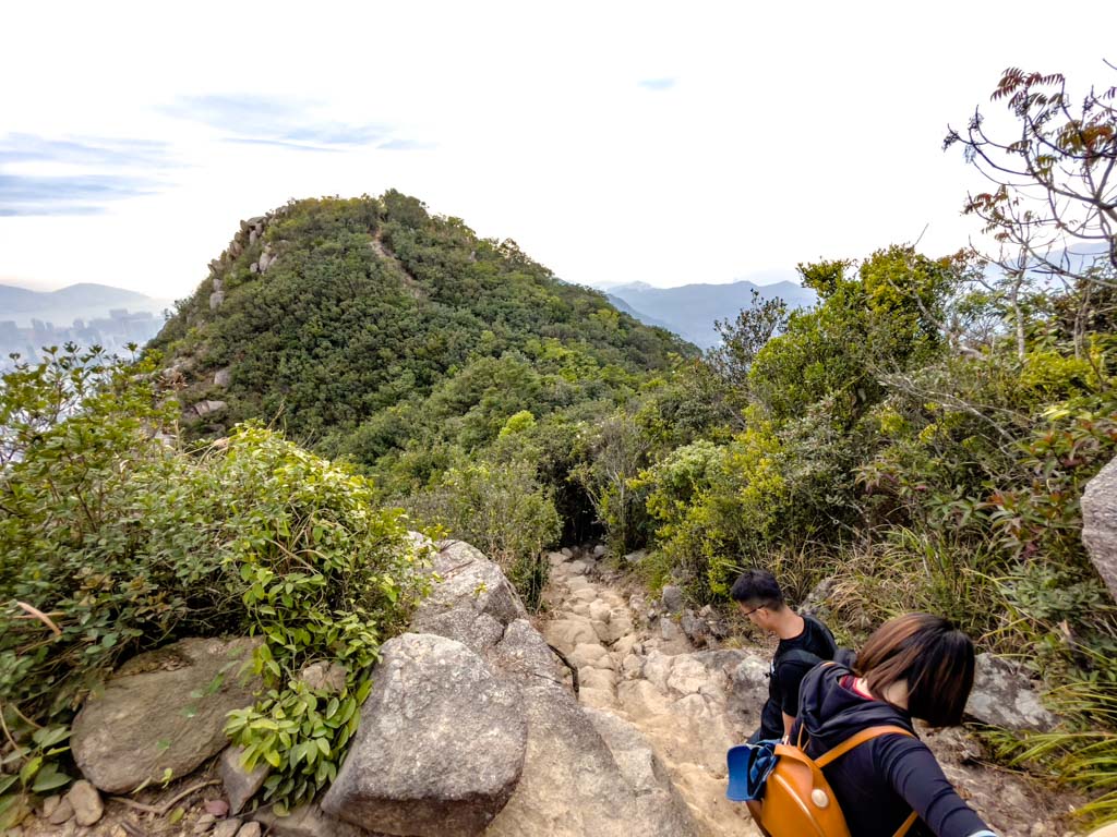
As you can see from the drone shot, it’s a dead-end up Lion Rock Head and I don’t recommend going up if it’s crowded. I usually skip the head and go straight down.
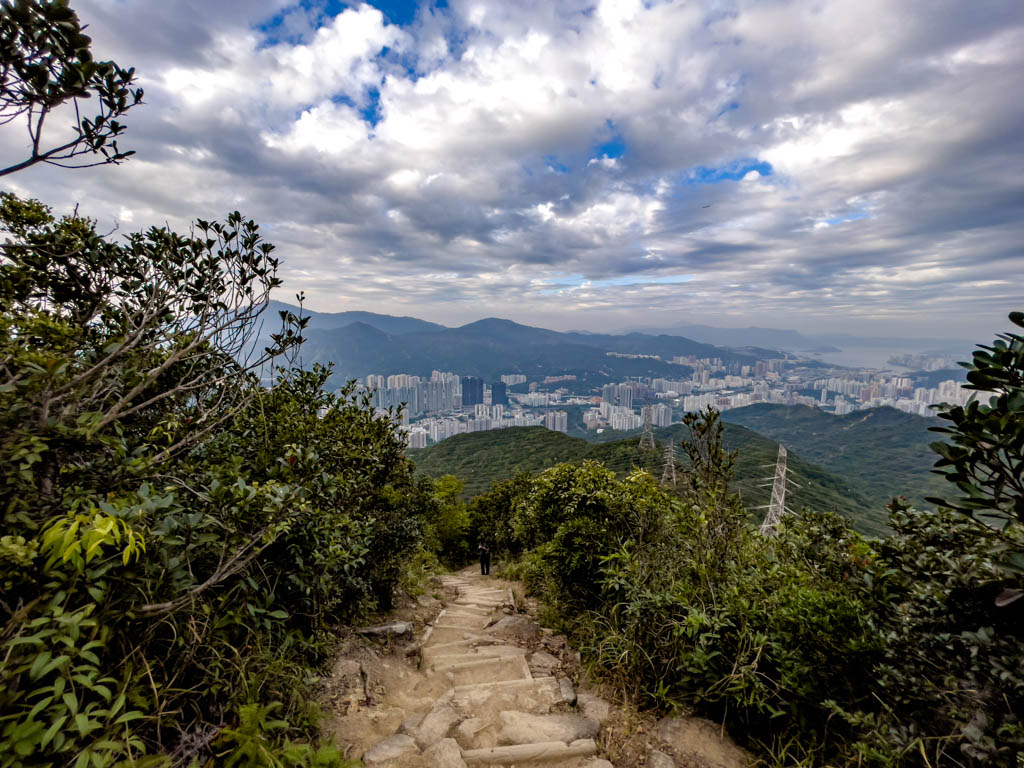
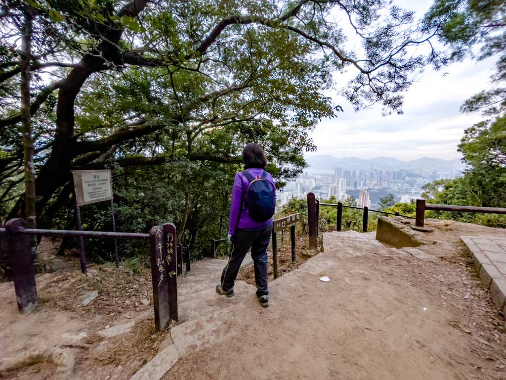
Going down from Lion Rock to Pavilion
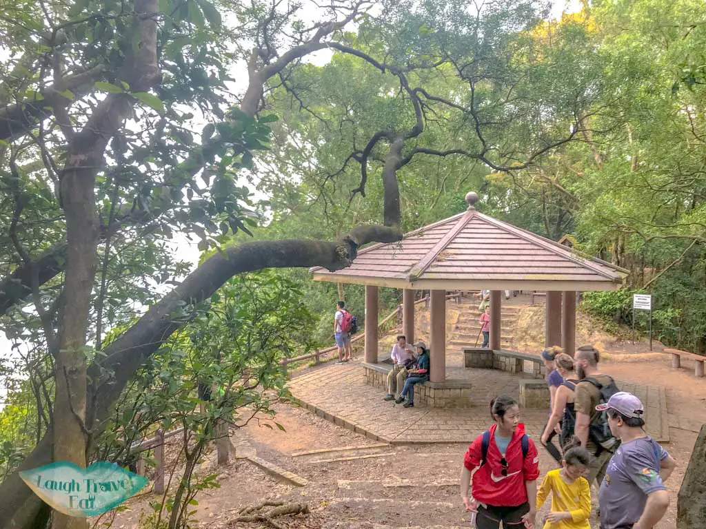
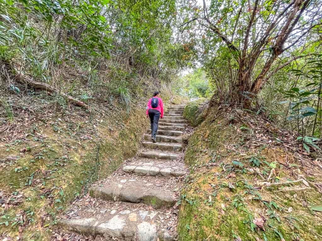
The trail to go down is at the end of the fence by the bottom of the Lion Rock Head. It’s mostly just a lot of stairs down until you reach the two pavilions by the Kowloon Pass.
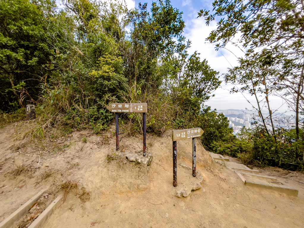
Kowloon Pass to Lion Rock Park
The Kowloon Pass is where the trail that doesn’t go up to Lion Rock Tail at Garter Pass joins up again. Just follow the sign pointing to Lion Rock Park. The dirt trail eventually becomes stone steps and it’s not a long way down.
Lion Rock Hike: Lion Rock Park start
(I’m going to keep this shorter as it’s just the reverse of the Shatin Pass route.)
From Wong Tai Sin to Lion Rock Park

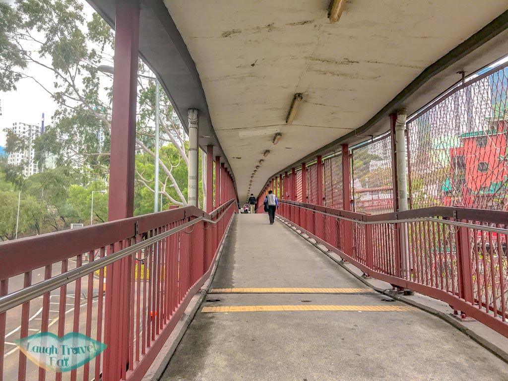
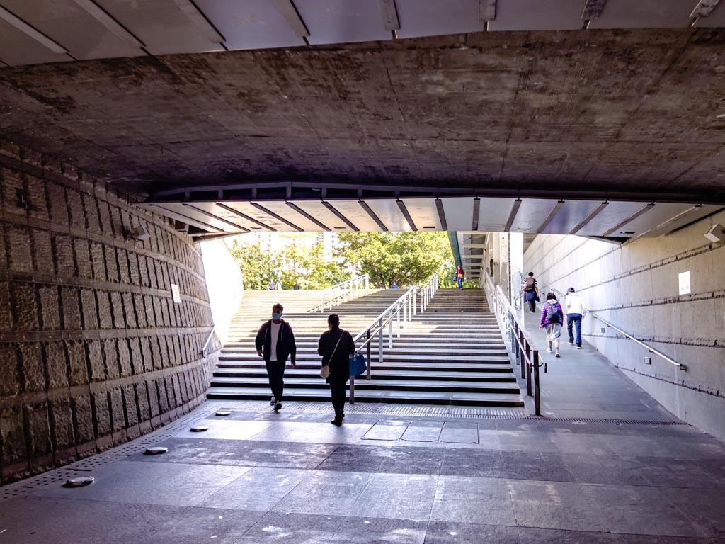
Also starting from Wong Tai Sin MTR Station, exit at B1 and walk on past the bus stations along the main road until you reach the bridge. There is a pedestrian bridge to the right which is red, head up there and follow it down this ramp.
walk on from the ramp then turn left

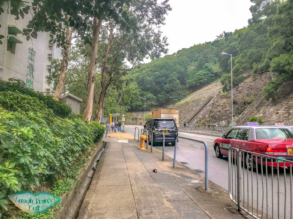
Once you reach the intersection, turn left and cross the road.
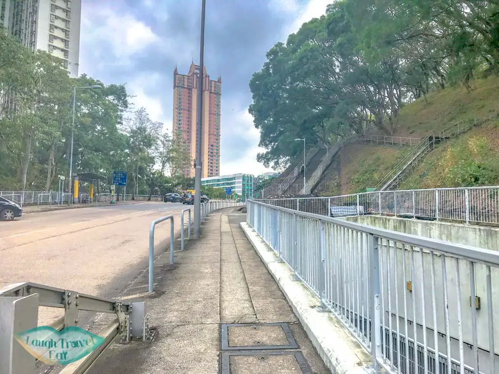
There should be a big staircase that takes you to pass Lion Rock Park and to the trail start.
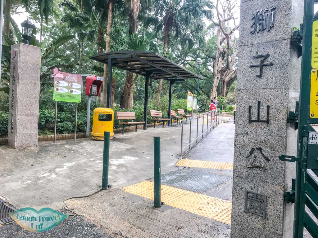
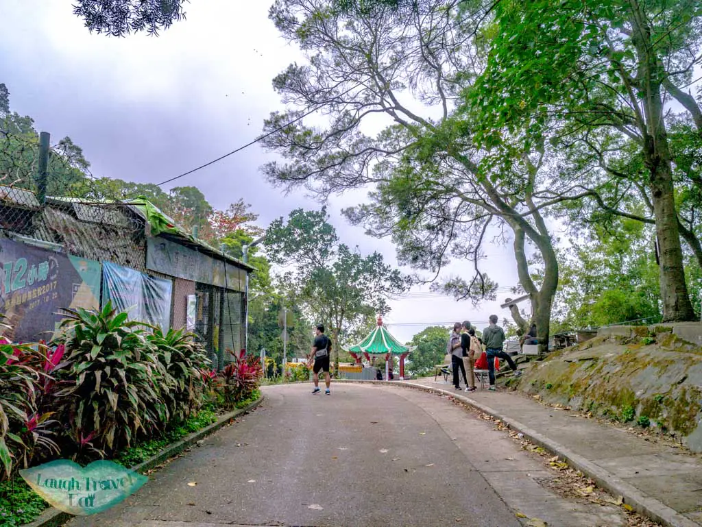
Lion Rock Park to Wind Rain Pavilion
The hike starts on paved stairs and ground, going steadily upwards until you reach a pavilion. From there, the path is relatively straightforward with the path taking you to Kowloon Pass, where there is another Pavillion. This marks the beginning of the ascent up to the Lion Rock!
Pavilion to Lion Rock Head
From here, make sure you follow the sign as it also branches off to MacLehose Trail Stage 5, which bypass the peak. However, this is also the path we’ll rejoin later coming down from Lion Rock.
From this side, we head straight up to the neck of the Lion Rock. The stairs are mainly stone, so if there has been recent rain, be careful as it can be slippery.
The head of the Lion Rock is a small rock outcrop and can get very crowded during the weekends. I don’t recommend going up if it’s crowded as it’s dangerous to stand up there.
However, the back (or butt) of the Lion Rock is good, too, as well as the long staircase going down.

From here, it’s a steep staircase going down to Garter Pass to the MacLehose Trail Stage 4. The path is all downhill from here, and comparatively a little longer than the hike up to Lion Rock.
Shatin to Lion Rock Hike
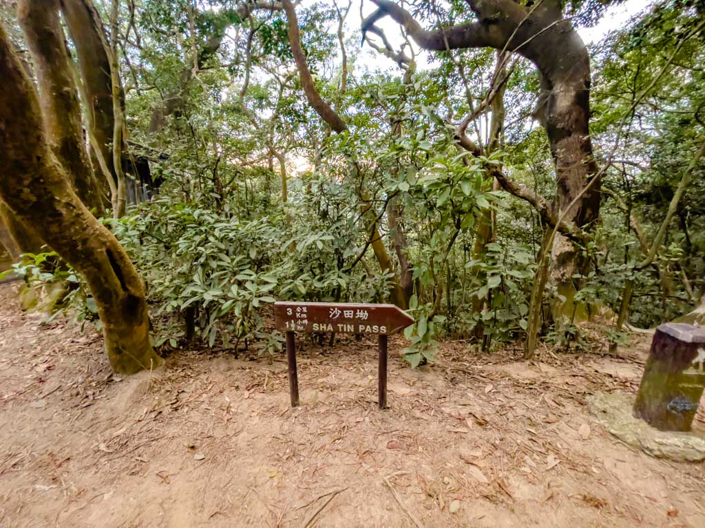
You can end at Shatin Pass or Lion Rock Park, but from Shatin Pass, you can also hike to Shatin Wai and end your trek in New Territories, but that is an extra hour. That said, the hike is quite easy, especially going down.
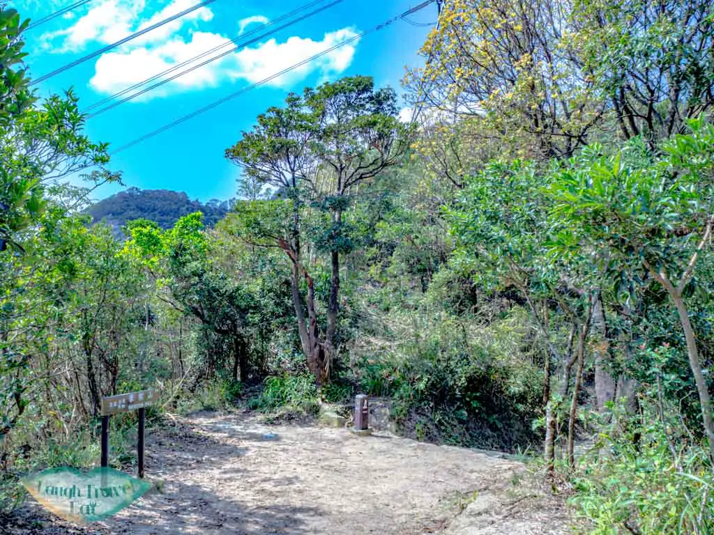
This is close to the Shatin Pass trail start for Lion Rock hike, and you can add it as a starting point or ending point! There is a little local style cafe there if you need refreshments as well.
Tsz Sha Ancient Trail
The Tsz Sha Ancient Trail starts at Shatin Wai and goes to Shatin Pass. It takes about an hour to hike and here’s how to hike it starting from Shatin Wai:
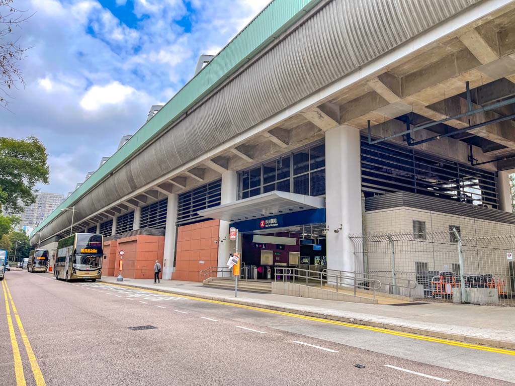

From Shatin Wai MTR, take exit B and cross the road. Then turn right and head up along the road going up – you might have to cross to the other side of the pavement. You can go up to Shui Chuen O estate but it’s easier to just carry on up.
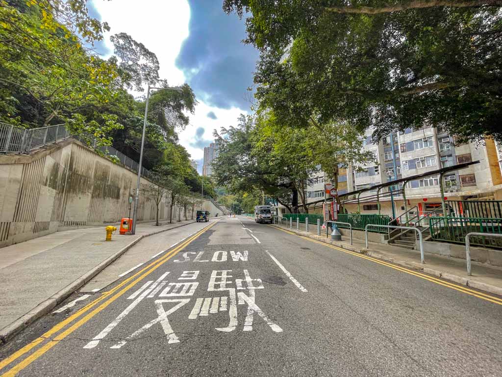
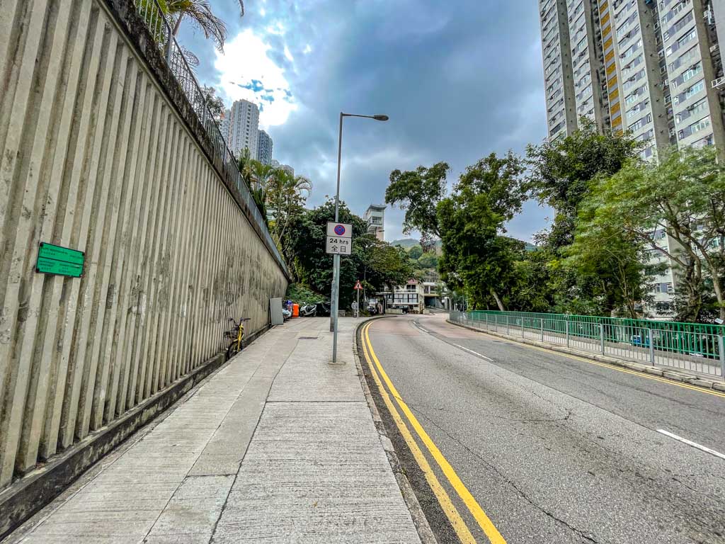
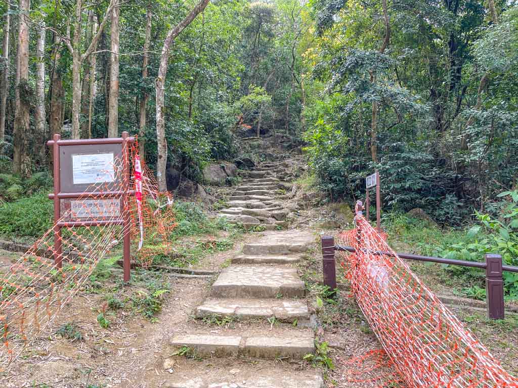
Follow the curve of the road until you see this road behind a barricade after the bridge:
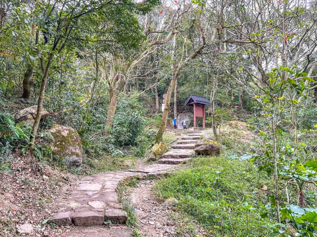
From there, it’s a short walk to the official trail start for Tsz Sha Ancient Trail.
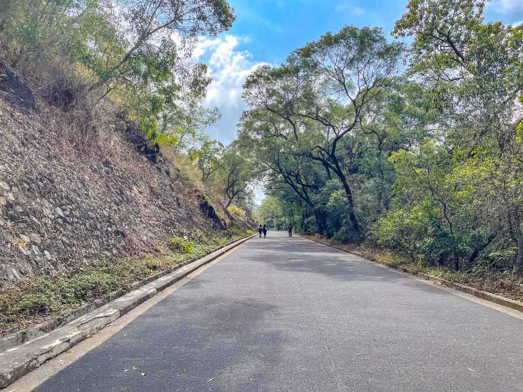
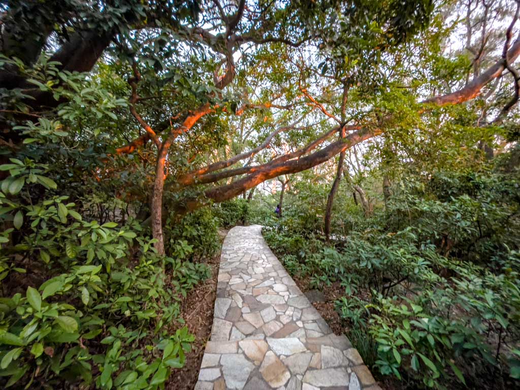
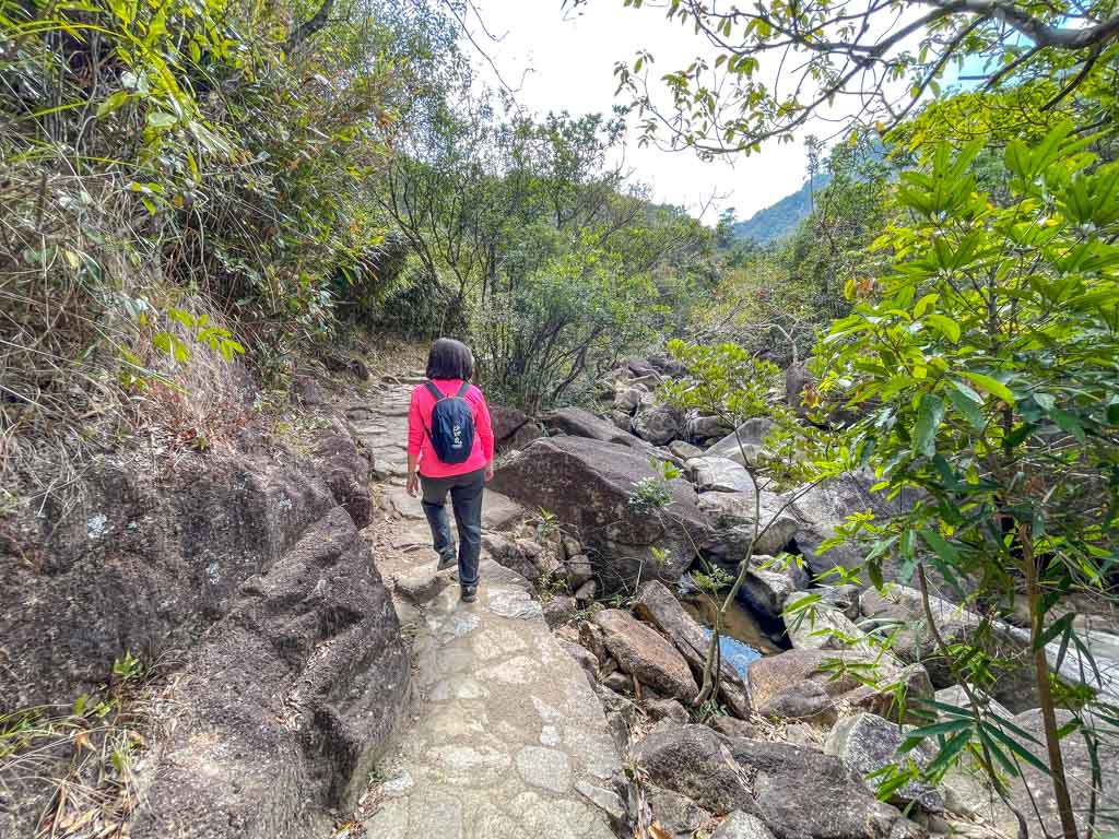
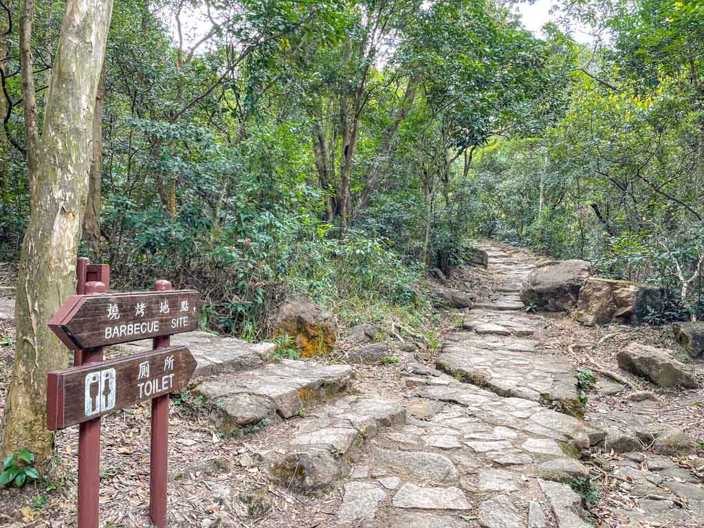
The trail runs parallel to the Kwun Yam Shan Stream for a while and most of it is paved with stone, making for an easy hike. There are plenty of trees along the trail that gives some shade, and we saw some Chinese Bell Flowers too in February.
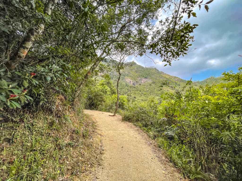
Towards the Shatin Pass side, we walked through a BBQ site and there are also benches dotted along the way.
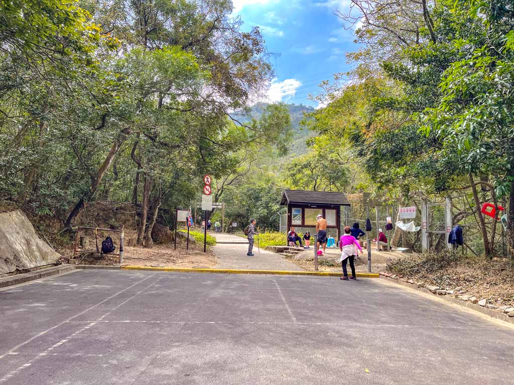
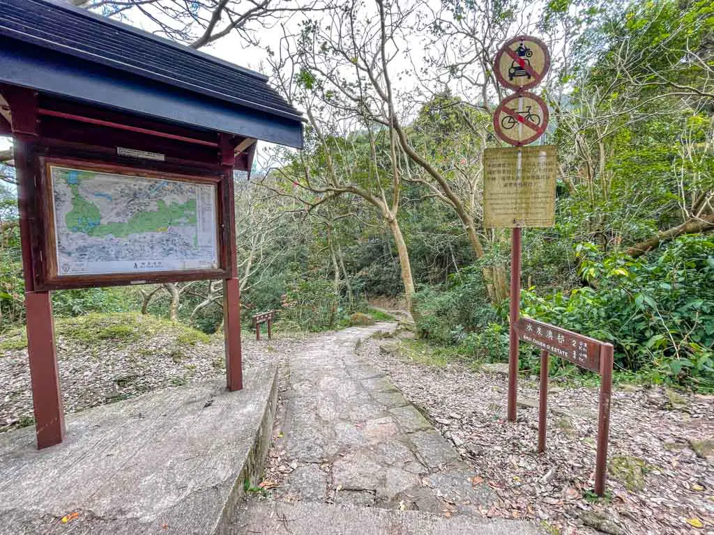
Shatin Pass
The end of the Tsz Sha Ancient Trail is close to Shatin Pass on Wilson Trail Stage 5. You can already see Shatin Pass from there. Again, you can continue to Lion Rock, go down to Wong Tai Sin, or even loop back to Shatin via Wilson Trail Stage 5.
Pin me!


HI Nam, Thank you for this article on hiking the Lion Rock. I followed it to the T and successfully climbed it today. Keep up the good job
excellent resources and exceptional materials here….