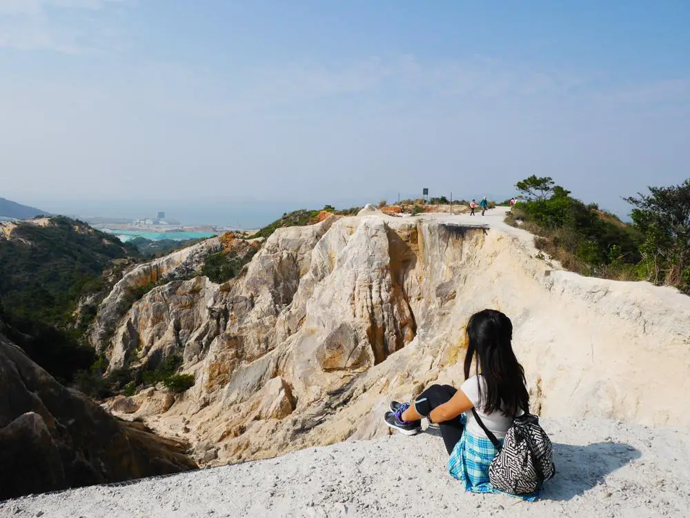
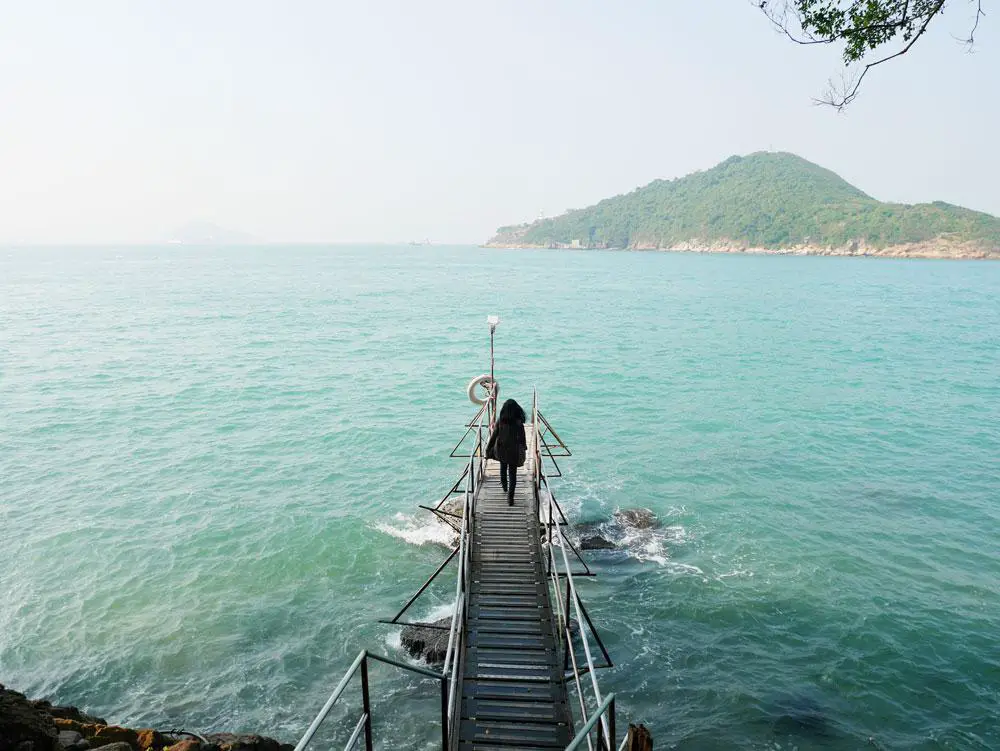
Cape d’Aguilar hike is one of the most famous easy hikes in Hong Kong located on South Hong Kong Island. Its name in Chinese is called Hok Tsui, which refers to the crane-neck shape of the peninsula.
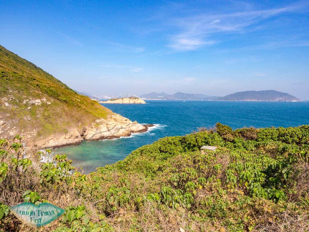
The rugged coastline is home to coves, caves, and arches carved by the relentless waves at the end of the cape reachable on mostly tarmac roads. The Cape d’Aguilar hike is suitable for families and beginners, making it rather busy most of the time. That said, if you’re a fan of the sea, rocks, and an easy walk, you’ll like Cape d’Aguilar.
Read on to find out how difficult it is and how to go to Cape d’Aguilar.
Summary of Cape d’Aguilar Hike
Time taken: 3-4 hours, depending on how long you spend taking photos
Cape d’Aguilar Hike Difficulty: 1/5
Pros: easy to access, family and beginner-friendly, with beautiful scenery
Cons: always crowded and most of the ‘hike’ is on a road
How to get to Cape d’Aguilar
Cape d’Aguilar hike is just a little south of the famous Dragon’s Back, meaning that you can get there on the same bus – bus number 9 from Shau Kei Wan.
*Not every bus goes to Cape d’Aguilar, make sure it says via Cape d’Aguilar

The bus stop is a short walk from exit A3. The minibus stop is just behind the exit as well and you can take the minibus that goes to Big Wave Bay, which goes past the starting point. But bear in mind that you do have to shout and let the driver know you need to get off.
Cape d’Aguilar Hike Starting Point

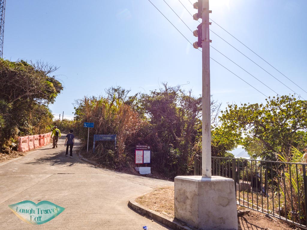
The bus stops at the little roundabout not too far into Cape D’Aguilar Road. This is the starting and ending point for the Cape d’Aguilar hiking route.
Cape d’Aguilar Hike
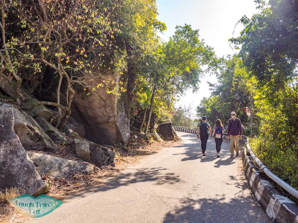
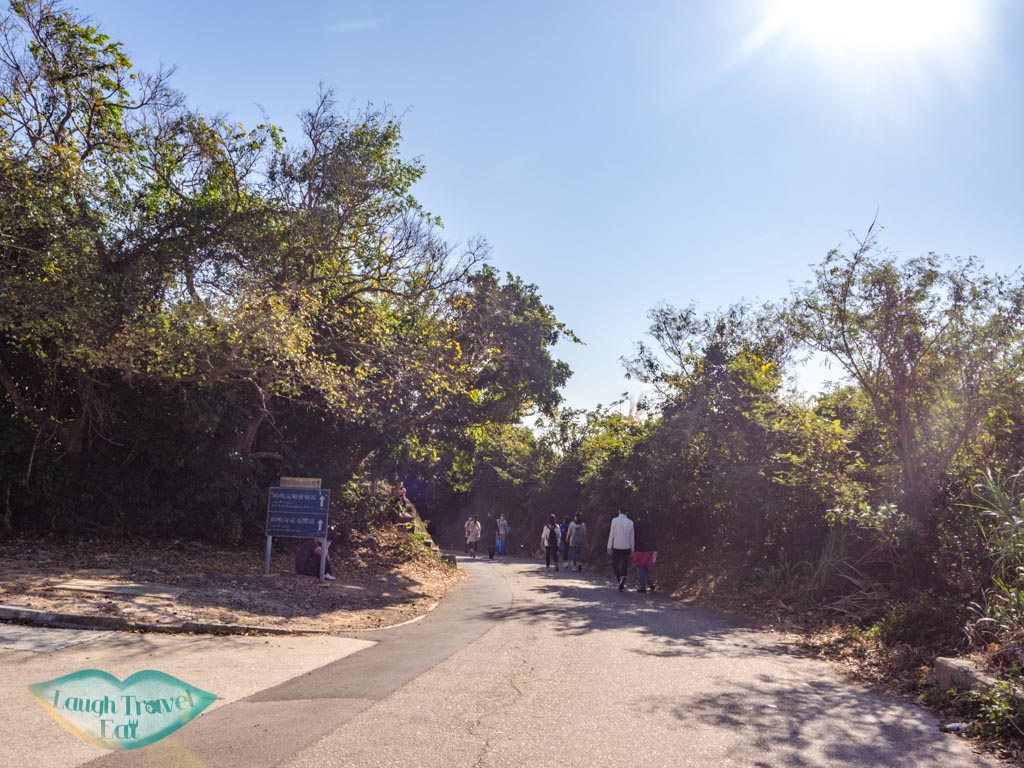
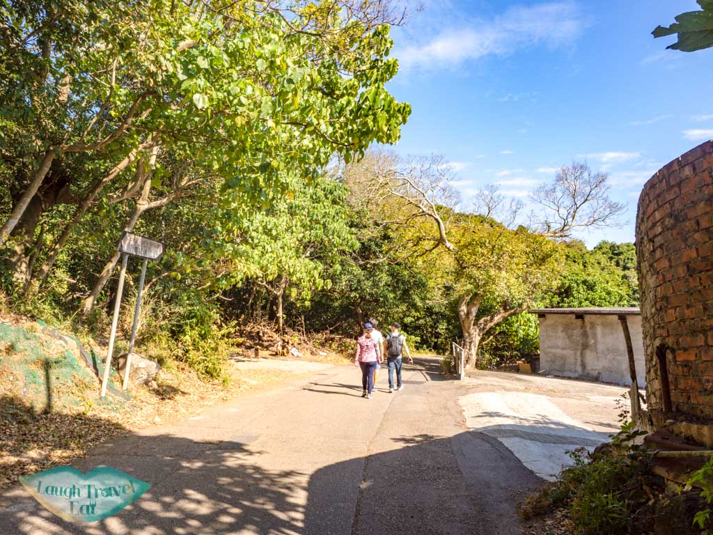
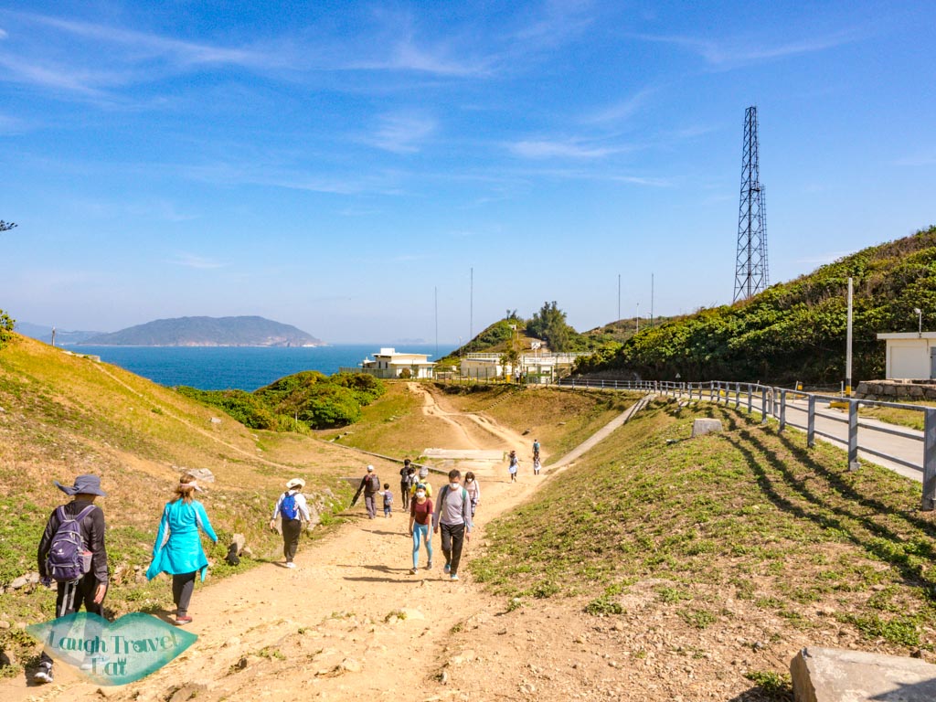
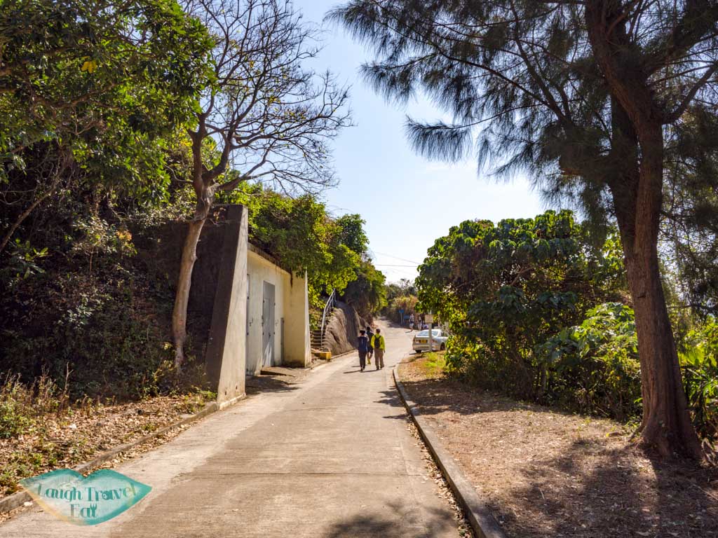
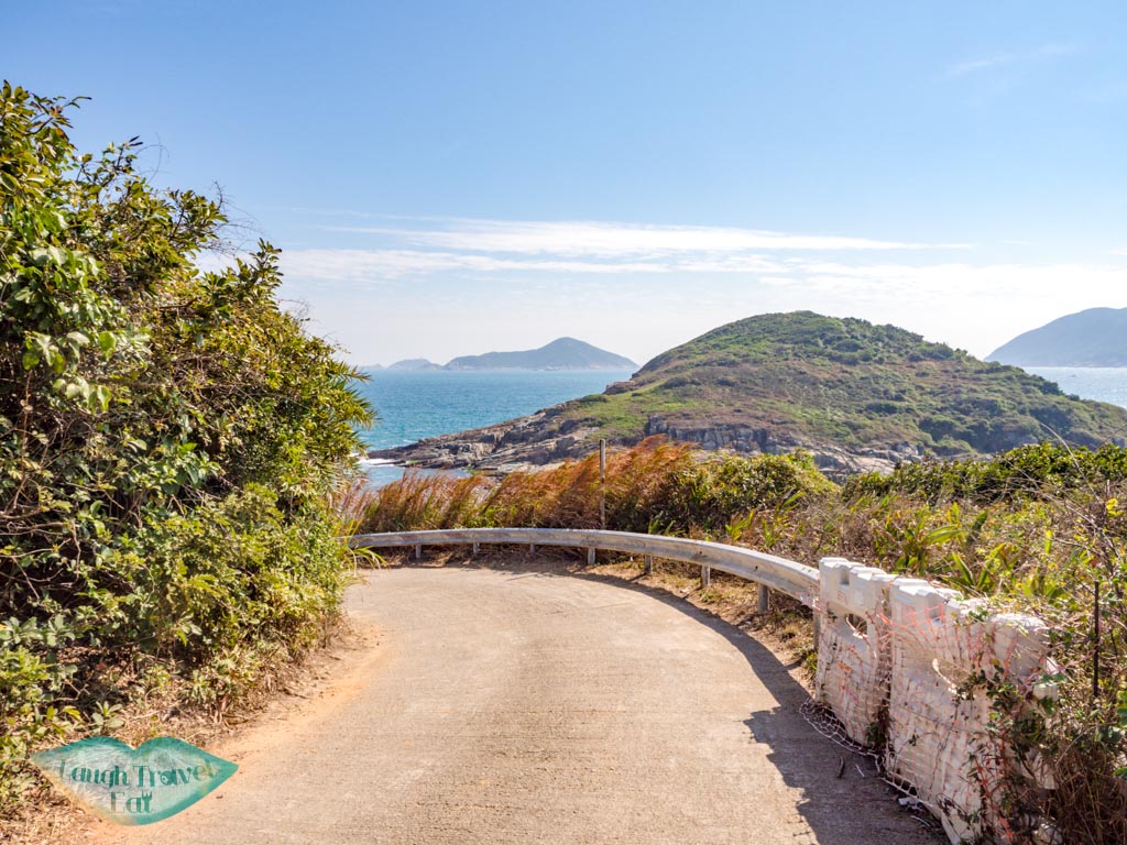
For the most part, the hike is along this road. It is a single lane for vehicles and traffic runs both ways, so stick to the side and watch out for cars and trucks.
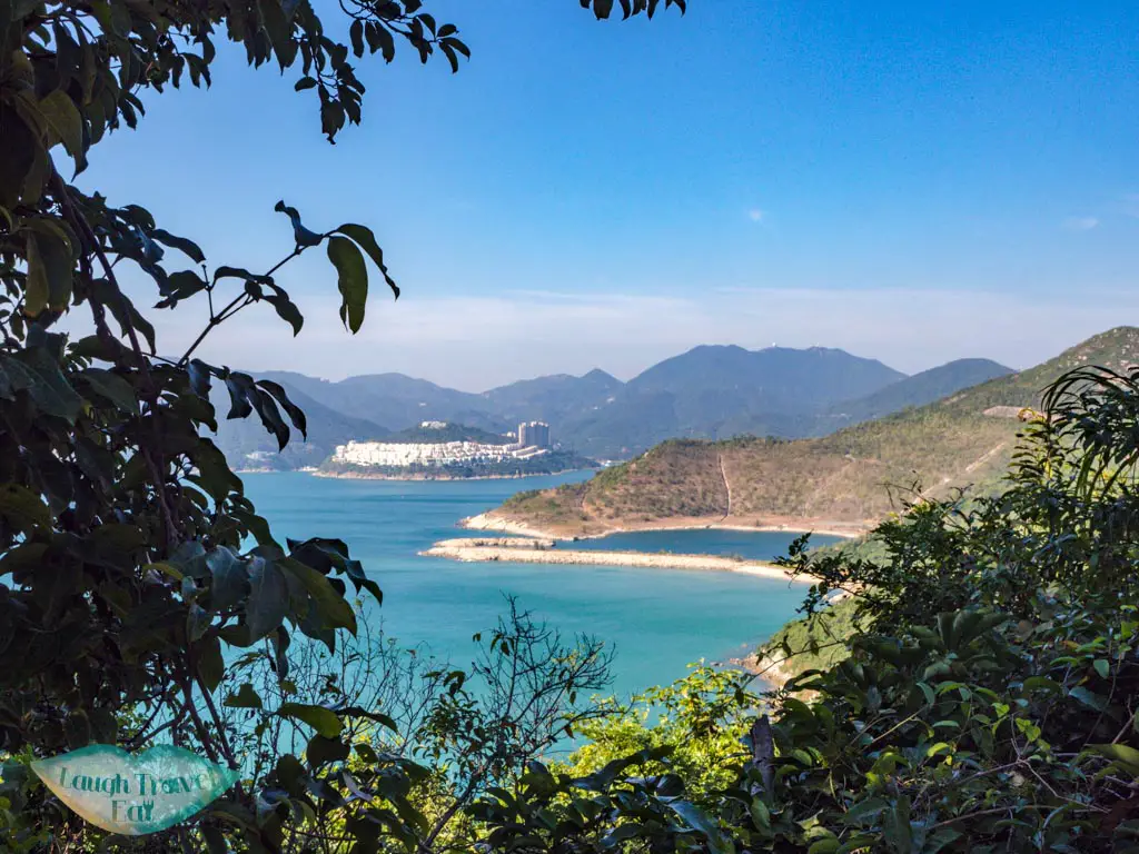
The sea is to the right with a view of Stanley across the Tai Tam Bay, and the Shek O Quarry right by the shore. Watch out for the d’Aguilar Battery that is visible in front along the coast, too.
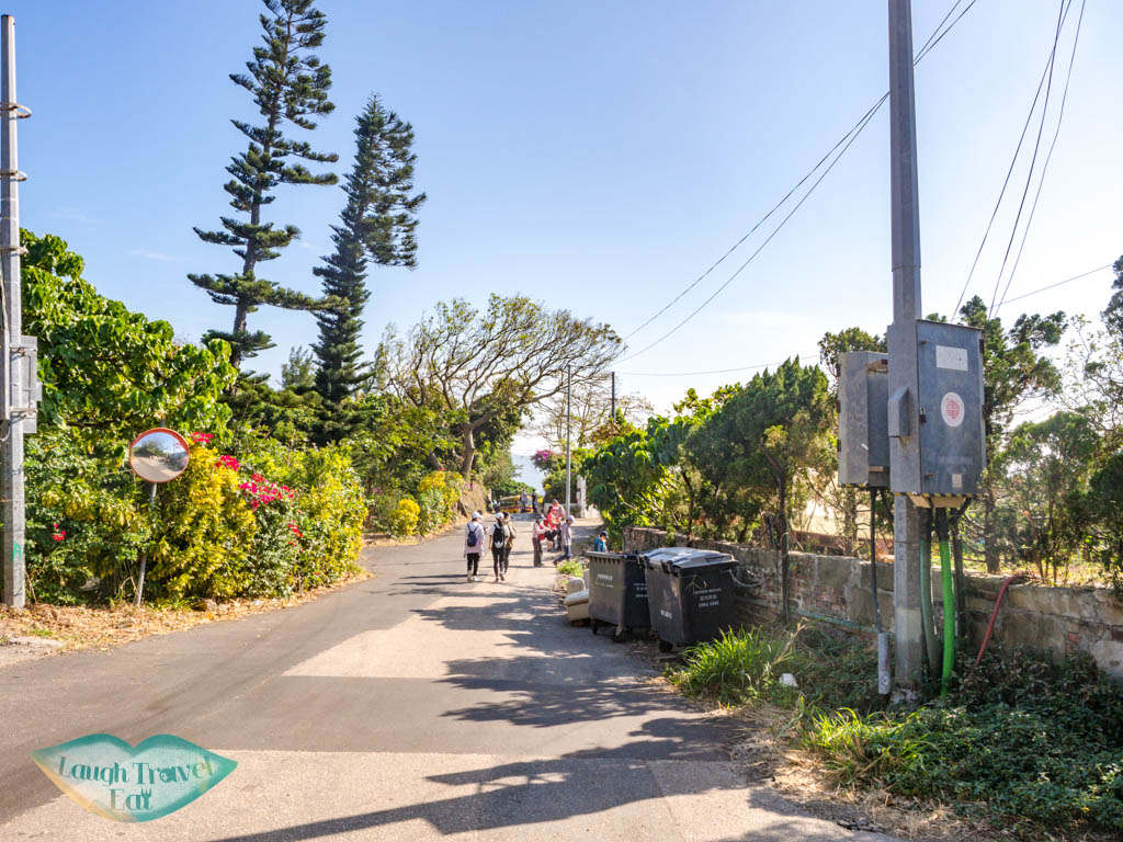
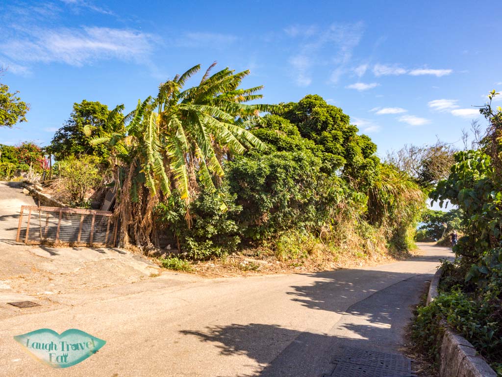
The road is relatively flat and when you reach the Hok Tsui Village, you are just over halfway there. The village has a small eatery with a dry bathroom left of the big junction, otherwise, carry on straight ahead.
Note: you can hike down to the Cape d’Aguilar Battery – the trail is before you reach the village just after the mailboxes. I haven’t personally done this trail, but I heard it is pretty densely vegetated and steep.

From the village, the road meanders left (eastward) until you reach the Cape D’Aguilar Low Level Radio Station.
There is a little outdoor eatery between them that opens later in the day and serves some simple food.

Here, we go off route to skirt around the station, where you can then see the beautiful (but admittedly littered) Garbage Beach before we got back on the concrete path.
Continue until you reach the junction. You’re nearly there so just continue right!
In front of it is the famous Miss Willy, but on my visit (Dec 2020) the entire building and the road near it is under construction. So to go to the end of the cape, you have to go down to the beach by the Cape d’Aguilar Conservation Area sign.
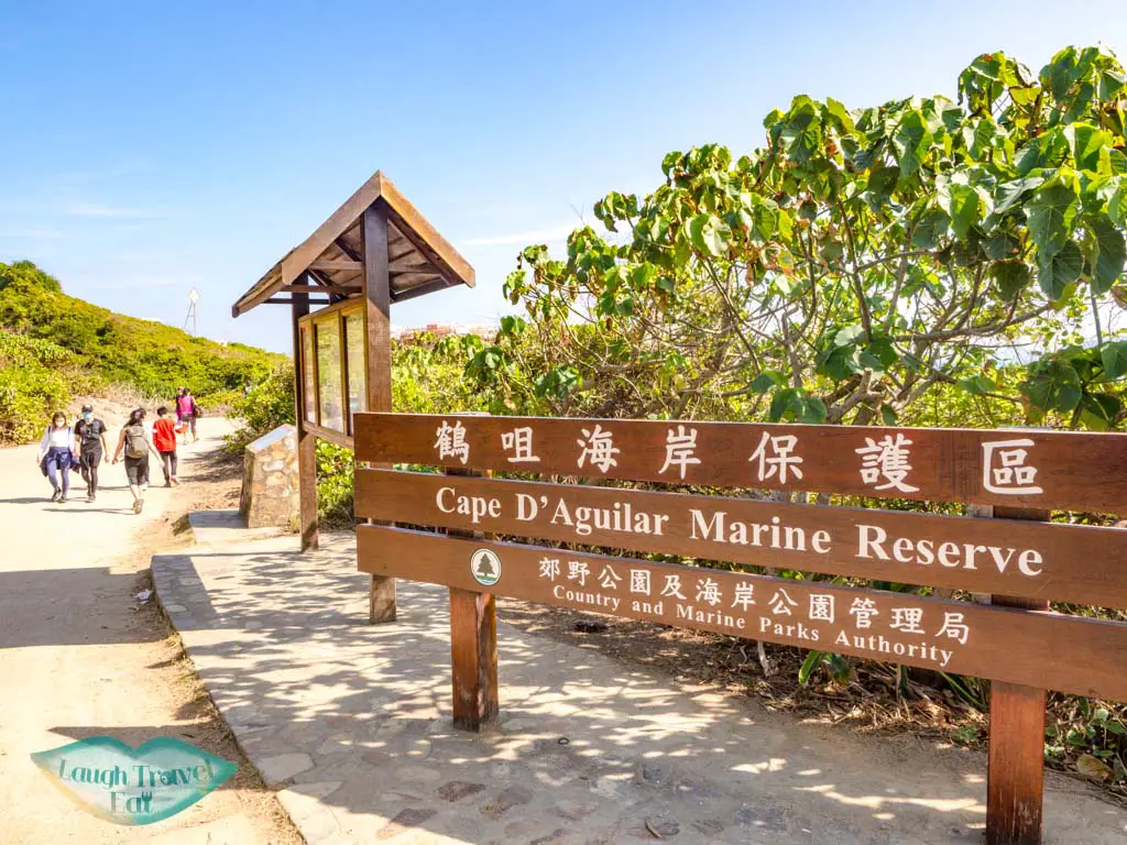
There are a few attractions there aside from the beautiful coastline.
Cape d’Aguilar Marine Reserve
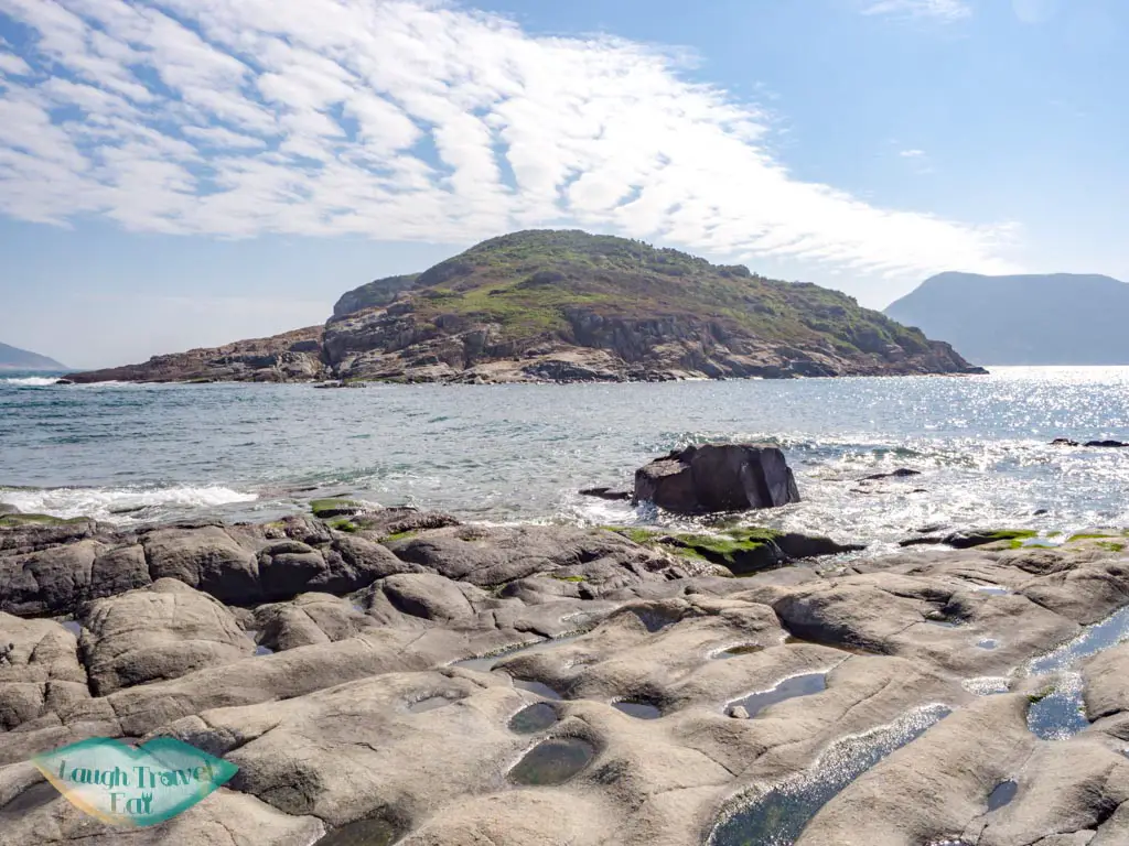
The Cape d’Aguilar Marine Reserve is named after Sir George Charles d’Aguilar who was the Lieutenant Governor of Hong Kong and Commander of the British Forces in Hong Kong from 1843 to 1848. The marine reserve encompassed 20 hectares and was designated in 1996 to protect it, which is also why you won’t find any bathrooms since you are not encouraged to visit – according to the official website.
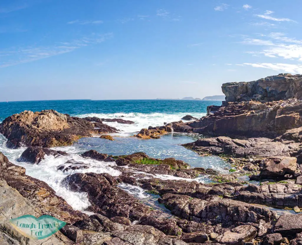
The predominant rock type is igneous origin and mostly granite, and the high waves alone, aside from being a marine reserve, do not allow swimming. Do note that you are also not allowed to fish, boat, or collect anything (dead or alive) from the reserve.
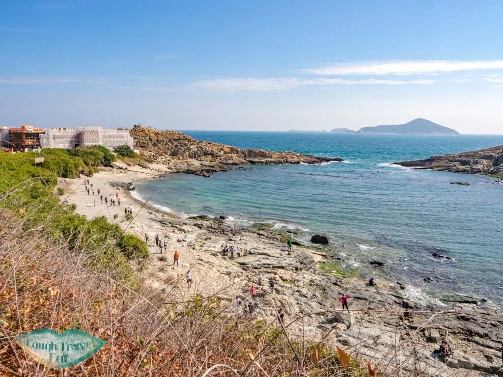
What you can do is take a walk on its rocky shores. The waves have gorged and eroded beautiful patterns and polished the coastal rocks. But do wear good shoes and watch for crashing waves.
Miss Willy
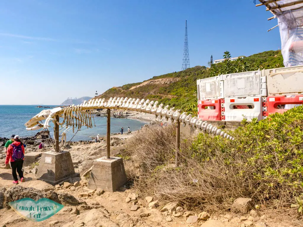
The white bone of Miss Willy standing in front of the institute is often mistaken to be a creature of the ancient past but is, in fact, a whale. It is a popular
Thunder Cave
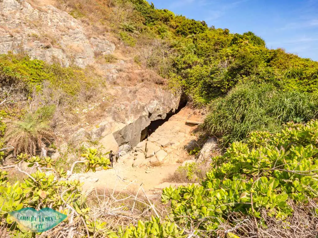
There is an obscure set of stairs to the left just a little further along from the sign that takes you down to a small cave – the Thunder Cave. The name comes from the thunder-like sound the waves make when it crashes into the pebbles in the cave, and it is truly a natural wonder.
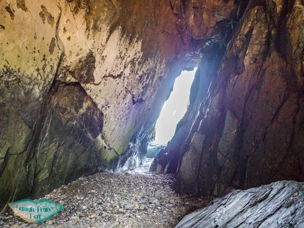
Note: don’t stand on wet rocks when you take photos – there is not only a possibility you’ll get wet, but the waves can potentially drag you out.
Crab Cave
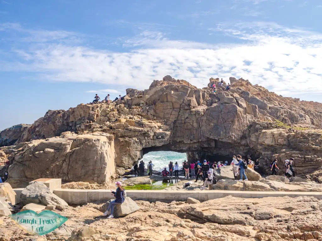
Near the eastern tip of the cape, the Crab Cave is an arch whose shape is reminiscent of a crab, and the rock pool under the arch makes for a wonderful photo.
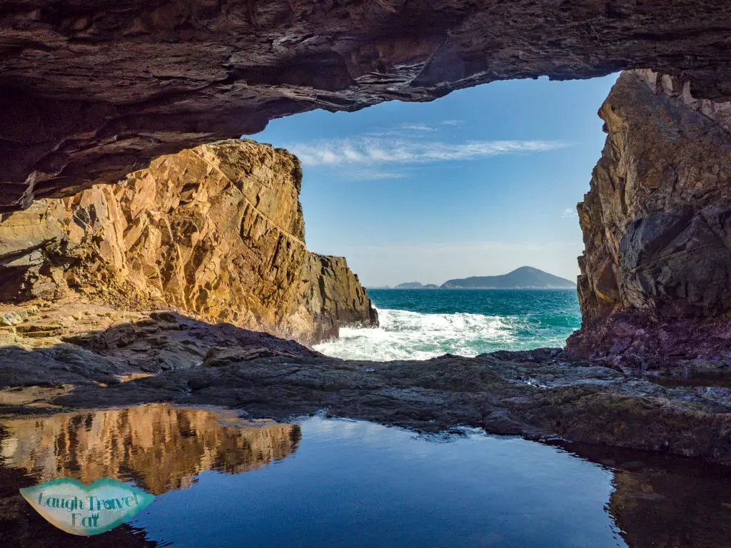
The nearby rock pools are also spectacular to watch, with giant waves crashing over it every ten seconds or so.
Cape d’Aguilar Lighthouse
The lighthouse of Cape d’Aguilar is one of the oldest in Hong Kong that is still in service, having been operating since 16 April 1875. The 9.7m tall white, the rotund structure is on a hill facing the marine reserve, and since it is currently still operational, not open to visitors.
However, if you feel like you still want to see it up close, go back to the fork in the road where the Cape d’Aguilar Marine Reserve sign is before you go downhill and go left.
Cape d’Aguilar Battery
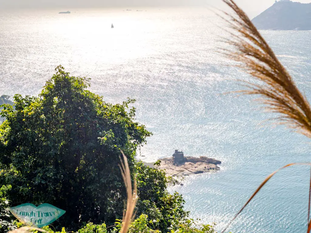
Looping back to the Cape d’Aguilar Battery, it was built in 1939 by the British to strengthen the area’s coastal defence. It was abandoned after WWII, having only faced the Japanese once before the troops retreated to Stanley. That said, it is now a Grade 2 Historical Building.
Getting out of Cape d’Aguilar
The way out of Cape d’Aguilar is exactly the same as the way in, down to the bus stop as it is a small roundabout. Just make sure the bus is heading back to Shau Kei Wan instead of Shek O.
There are minibusses that also run these routes. It is ~2-3hkd pricier than the bus and requires cash, but does get you out faster.
Cape d’Aguilar to Shek O Beach
There’s no public transport from Shek O to Cape d’Aguilar, but you can go up to the D’Aguilar Peak above the Cape d’Aguilar High-Level Radio Station and hike to the beach along the Po Pan Ridge. The igneous rock has occasional concrete steps on it making it less slippery.
I haven’t been there yet but I found this YouTube video quite useful:
But this trail is off route with some fairly steep part that needs climbing – so it’s better for going up than going down.


 中文 (香港)