One of the most unique rock formations on Hong Kong Island is the rhino rock of Stanley. Not only is it incredibly life-like, the shortness of the route also contributes to its popularity. That said, it’s a narrow and steep trail that many visitors often attempt unprepared! If you want to see it for yourself, here’s all you need to know:
Difficulty: 2.5/5 despite its shortness, I bump it up to a 3 because many don’t wear the right shoes for the hike and it’s also easy to get lost
Time take: 1 hour return without taking account in photo times
Pros: a short hike with a stunning view, with easy bus link
Cons: the trail is very sandy and slippery, and quite steep at places. Fairly crowded most of the time.
How to get to Rhino Rock trail start
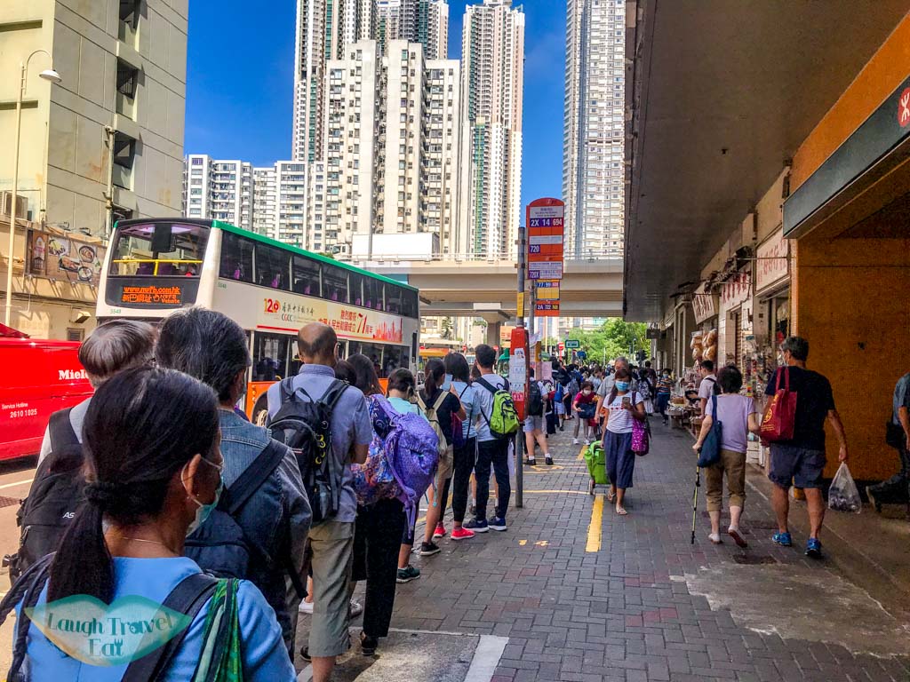
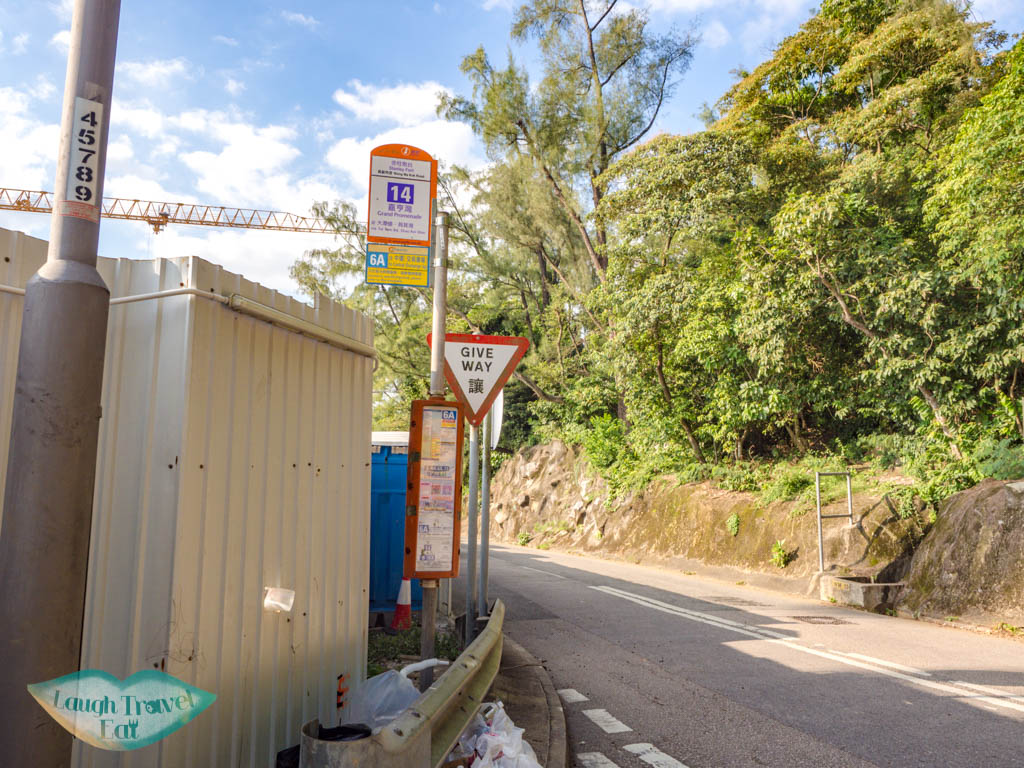
The trail starts by the Stanley Fort, which is conveniently the end stop of Bus 14.
Bus stop is right by exit A of Sai Wan Ho MTR station
It is the only bus that stops there and it starts at Sai Wan Ho MTR exit A, and it’s the best place to catch the bus.
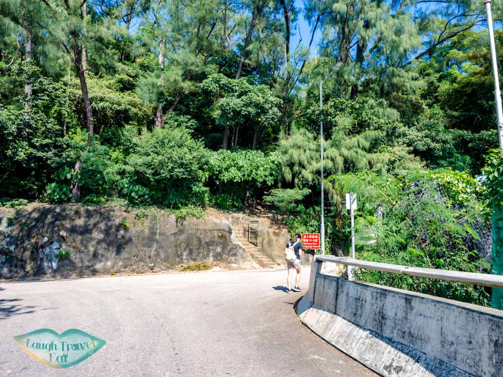
The whole journey takes around 30 minutes depending on traffic. Get off at the end stop and the train start is marked by a short flight of concrete stairs and an open metal gate in front of the Stanley Barracks.
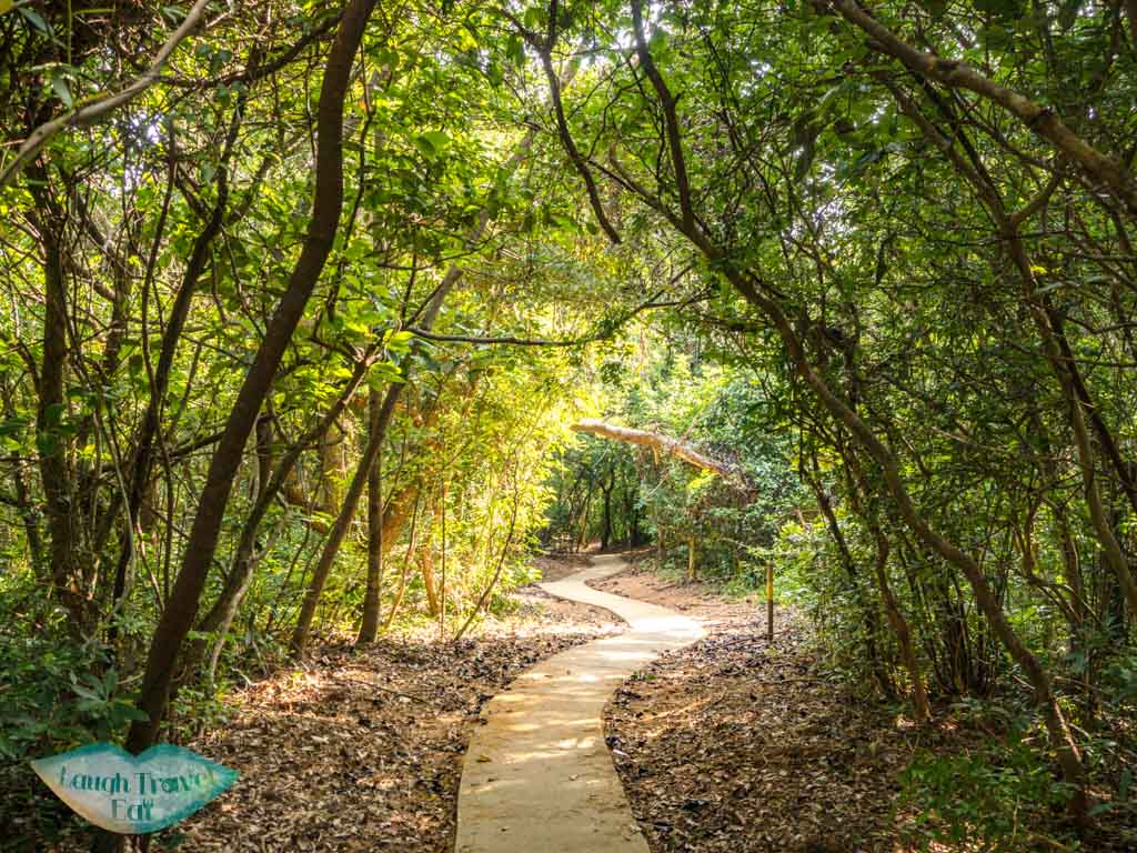
Rhino Rock hike
The barracks is just to the right so I’d avoid photographing nearby
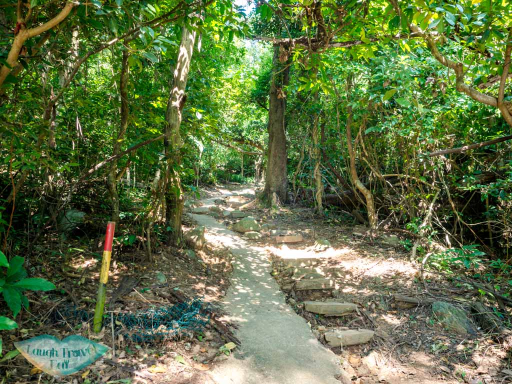
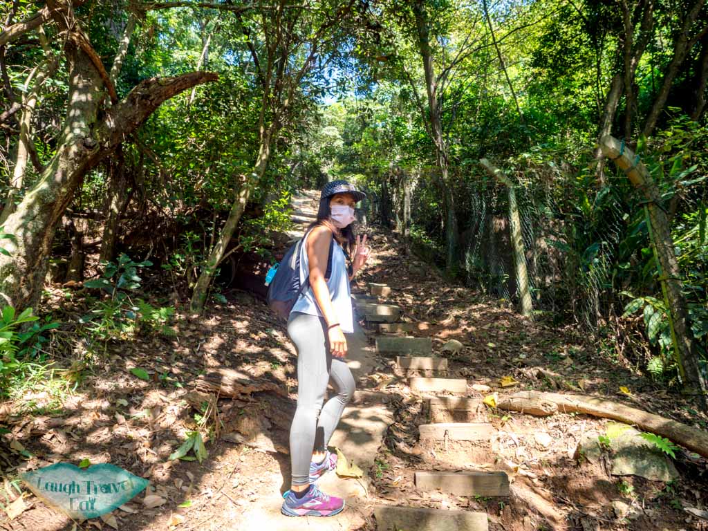
Go up the stairs from the gate. This is the steepest part of the hike going up and the stairs are in various states of disrepair, so watch your steps.
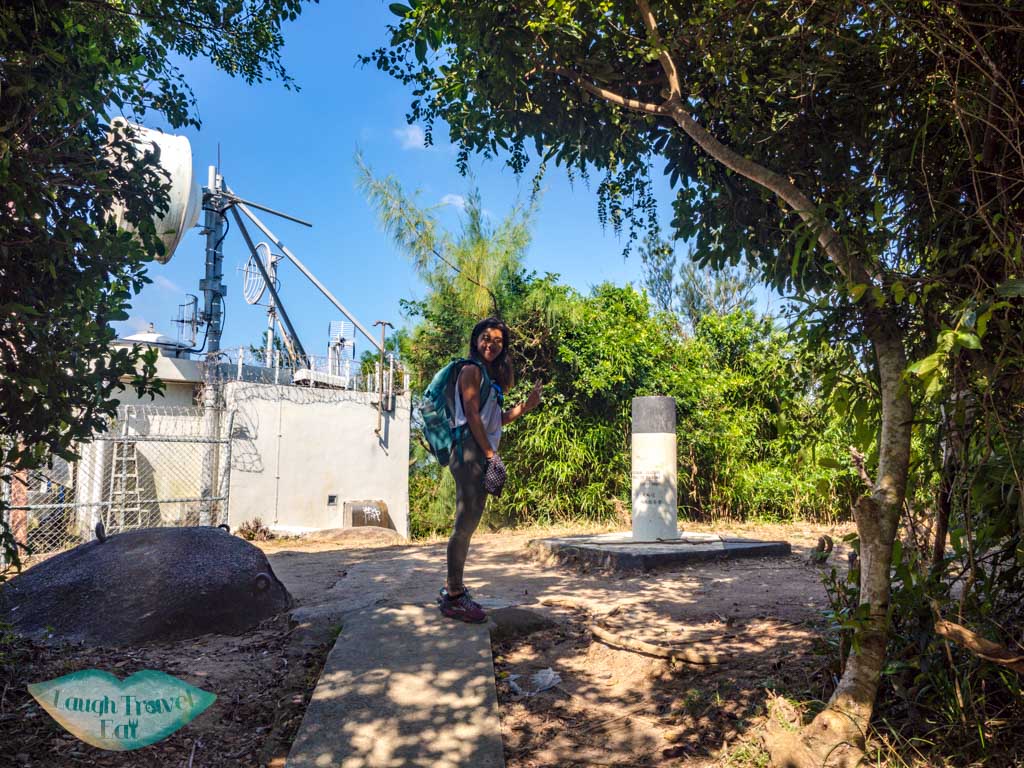
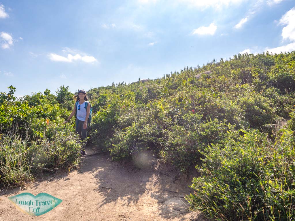
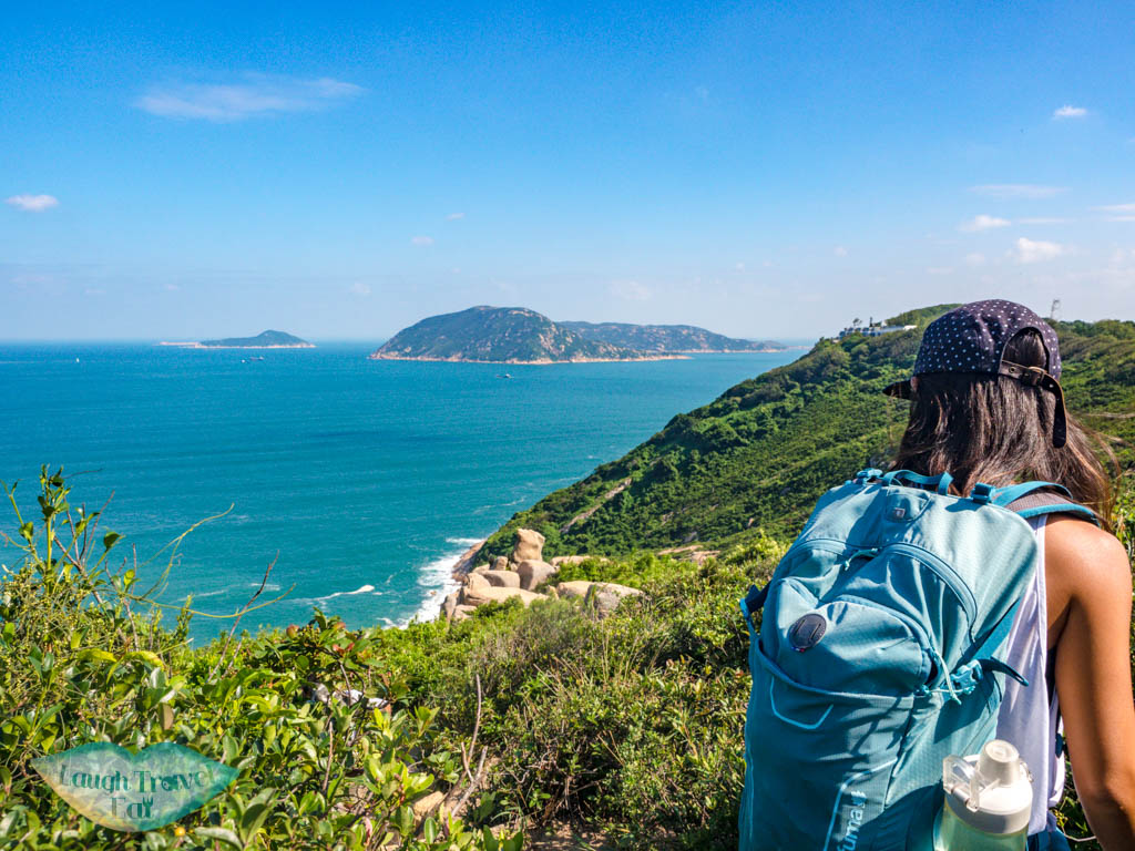
It transitioned into a concrete trail that meanders up, ending at the Che Pau Teng (177m). You’ll find a black and white pillar in front of a fenced off white building.
The trail you need to take is to the right, marked by a collection of ribbons in various colours in the tree.
Che Pau Teng to Rhino Rock
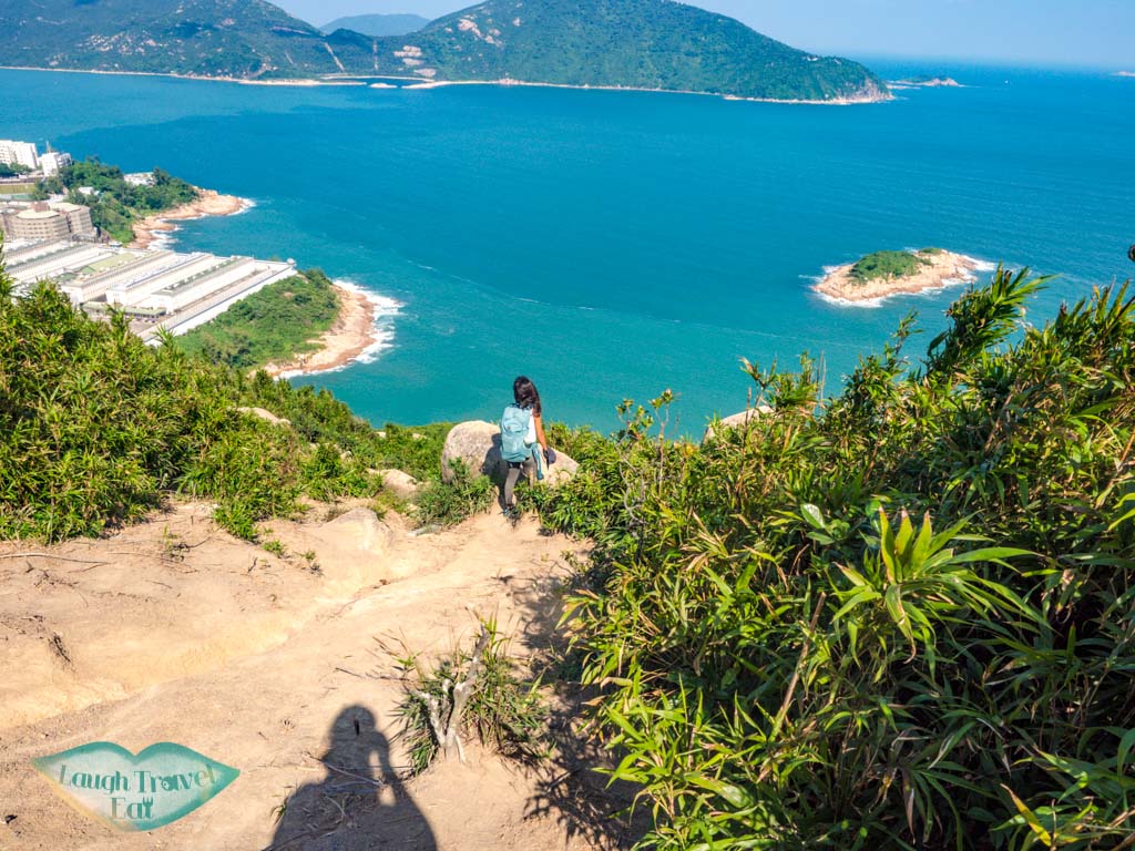
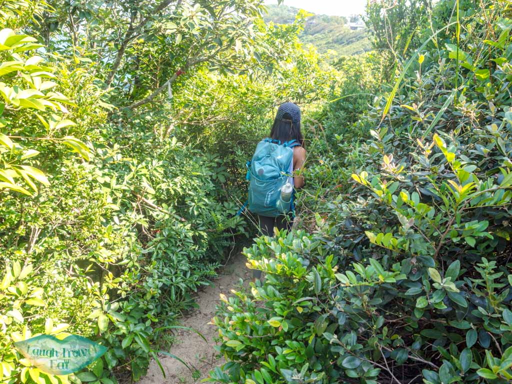
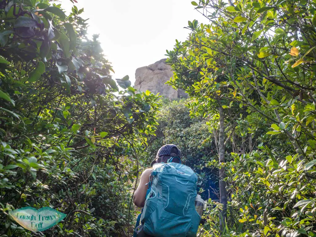
Dive into the bushes and you’ll emerge to a steep slope of loose sand and gravel.
The trail is marked by red ribbon, so make your way carefully down. This is the most dangerous part so stay close to the vegetation and make sure you wear hiking shoes with good grip.
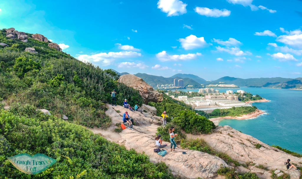
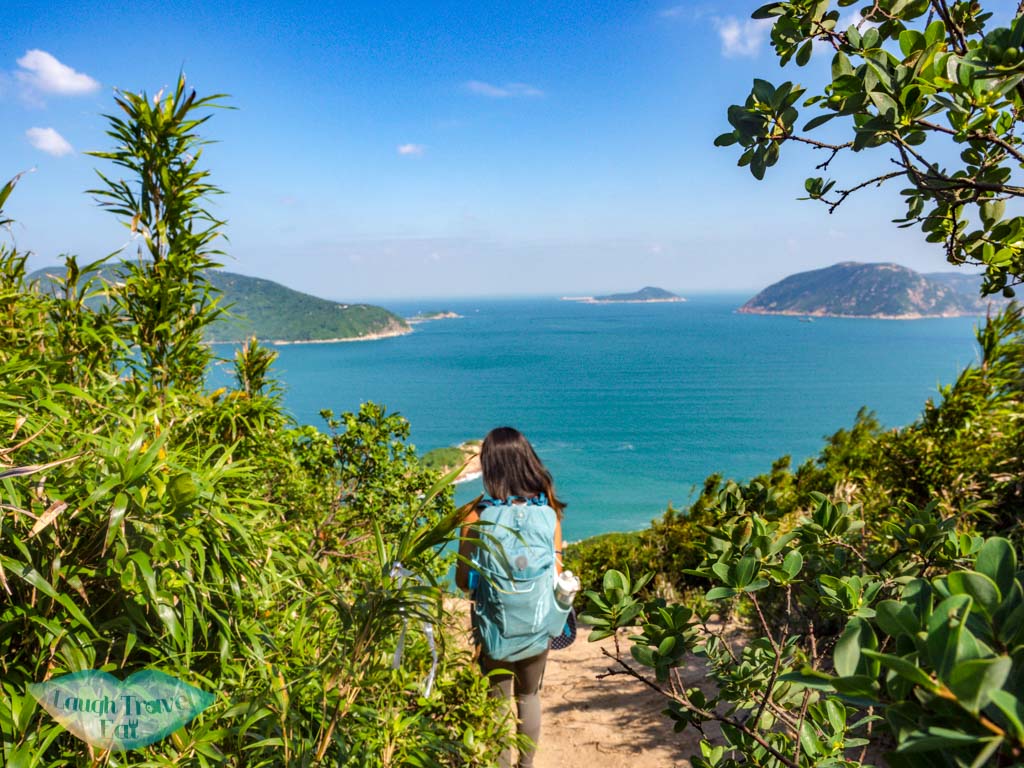
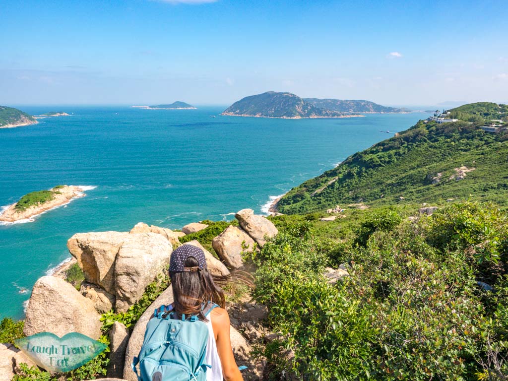
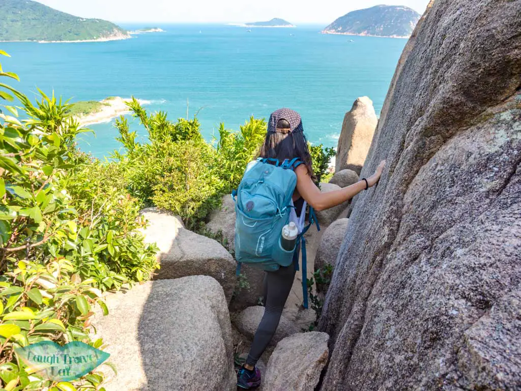
Follow the narrow trail and the occasional ribbons. You should be going right along the coastline in general. There are several big boulder clusters along the way and you would have to do some climbing.
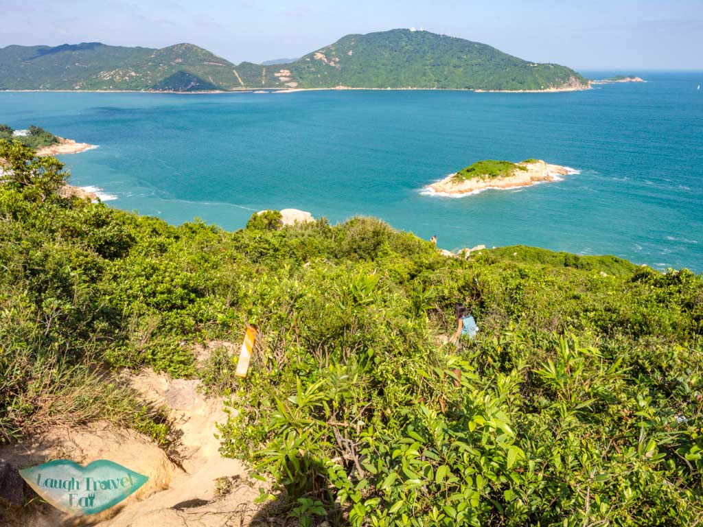
When you reach a big clearing, don’t take the path going down towards the sea but the one into the vegetation again to the right.
After the third boulder cluster, the trail turns downhill and the rhino rock is just at the end.
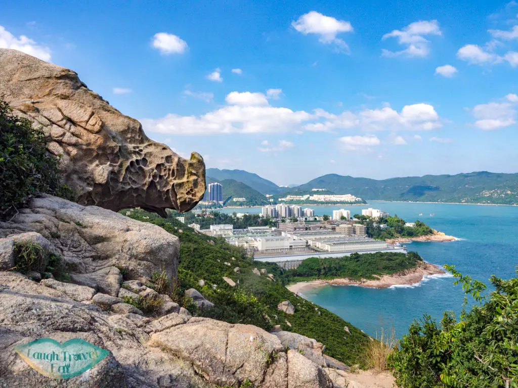
Rhino rock
You might’ve seen photos of people straddling the rhino rock, but as of Oct 2020, the ladder that helped people climb up has disappeared.
To climb up, you’d have to manoeuvre up this tree. I don’t recommend doing it unless you are experienced and are sure that tree can hold your weight.
The rocks in front of the rhino rock are a good enough place to sit and get photos itself.
Note: if you’re a drone flyer, be aware that the rhino rock is situated between the Stanley Prison and Stanley Barracks, so fly with caution.
Getting out of Rhino Rock
Simply return the way you came. There shouldn’t be big issues finding your way back, but if you do, watch out for the ribbons.
The bus 14 runs around every 15-20 minutes, and the bus stop is at the start of the roundabout where you’re recommended to wait.
Nam Cheah
Hi, my name is Nam. I am 24 and spent half my life in Hong Kong and the other half in UK. I believe there's endless experience and beauty in the world and this is me chronicling how to experience the best at the best price.