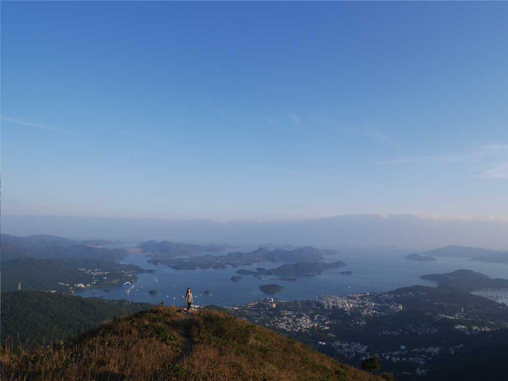
Lantau Peak might not be the highest mountain in Hong Kong by a mere 23 m, but as the highest peak on Lantau Island, it certainly takes more effort to reach than Tai Mo Shan, which is accessible by car.
That said, there are many ways to reach Lantau Peak and naturally some are easier than others. The route I’ll talk about in this post is arguably the fastest and easiest route, but you’d still need to be prepared for steep ascent and descent!
Lantau Peak hike summary
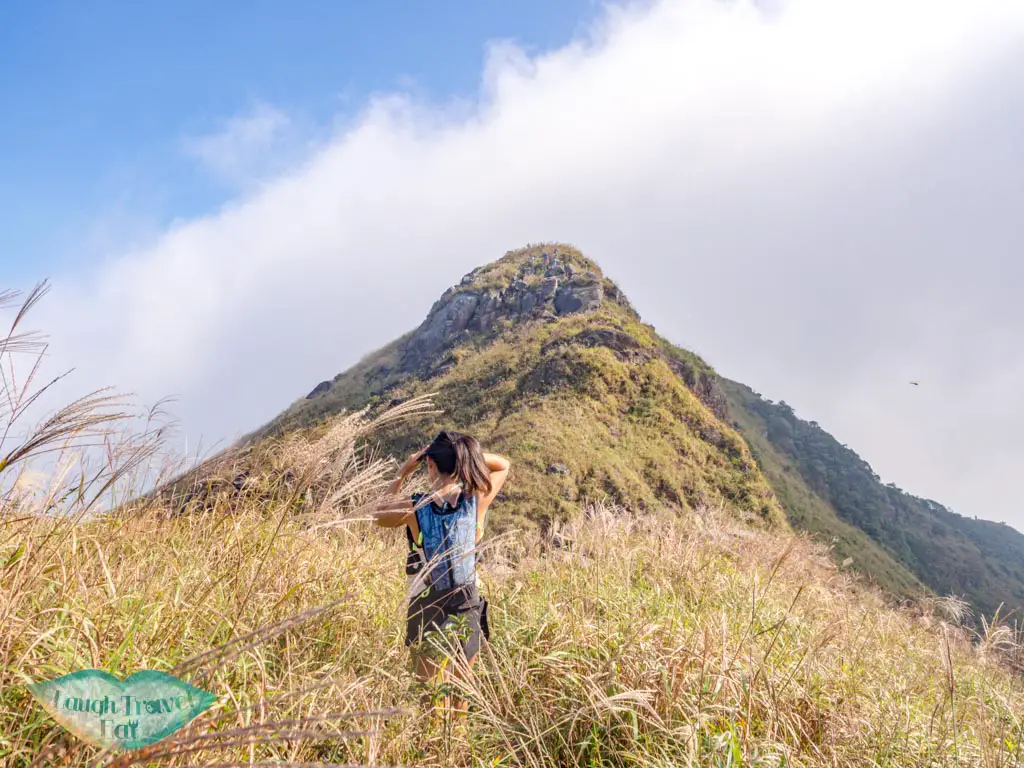
Time taken: 3-4 hours return to Ngong Ping, budget a lot more time for traveling to and from though! It’s definitely a day trip.
Difficulty: 4/5 the hike, although already a shorter route up, involves hiking on potentially loose boulders and scaling the second highest cliff in Hong Kong.
Pros: beautiful views, tons of unique sights like One Tree Cave and bragging rights
Cons: a long journey to get in and out, also relatively popular
How to get to Lantau Peak trail start
For this route, we start and end on Ngong Ping, so you can get there by bus or the Ngong Ping 360 cable cars.
Both options start in Tung Chung, so make your way there first.
Bus from Tung Chung to Ngong Ping
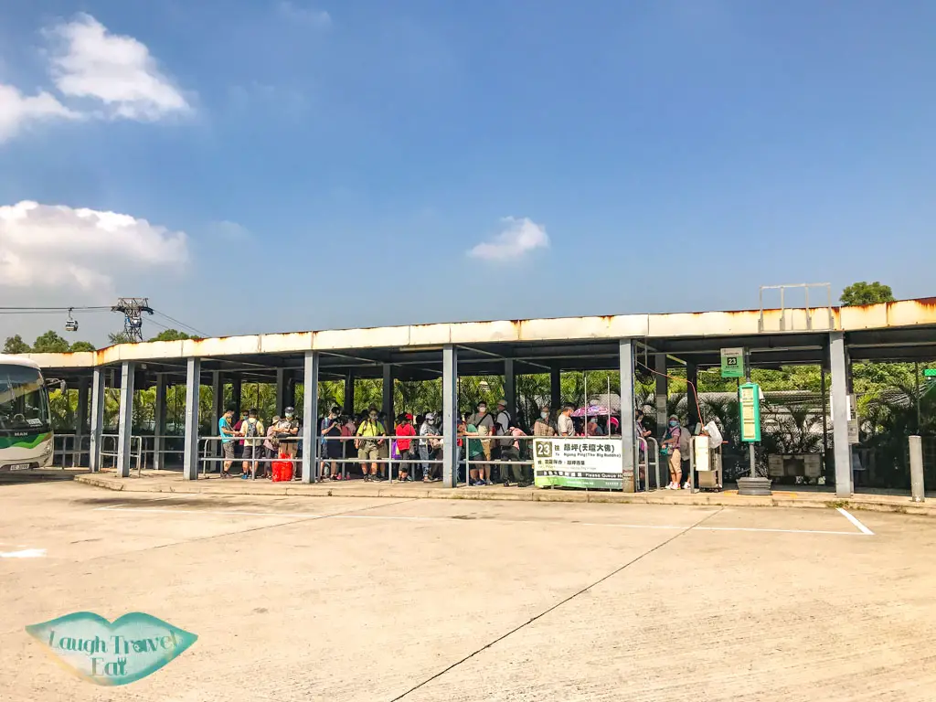
Bus 23 departs from the bus stop by the Ngong Ping 360 cable car. It’s in the middle of the car park towards the further side, and you can find its schedule here.
In general, it takes 40-60 minutes to reach Ngong Ping, which is the end stop.
Ngong Ping 360
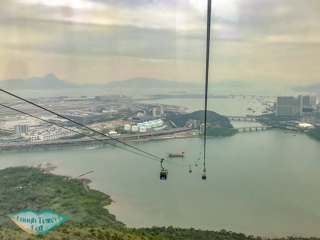
Compared to the bus, Ngong Ping 360 is much faster and more scenic, taking only 30 minutes to reach Ngong Ping with a sweeping view of the airport and the coastline. And of the Big Buddha as you approach Ngong Ping.
While it is more expensive, combining the trek with the cable car experience makes for a nice and faster way in or out.
Ngong Ping to Lantau Trail start


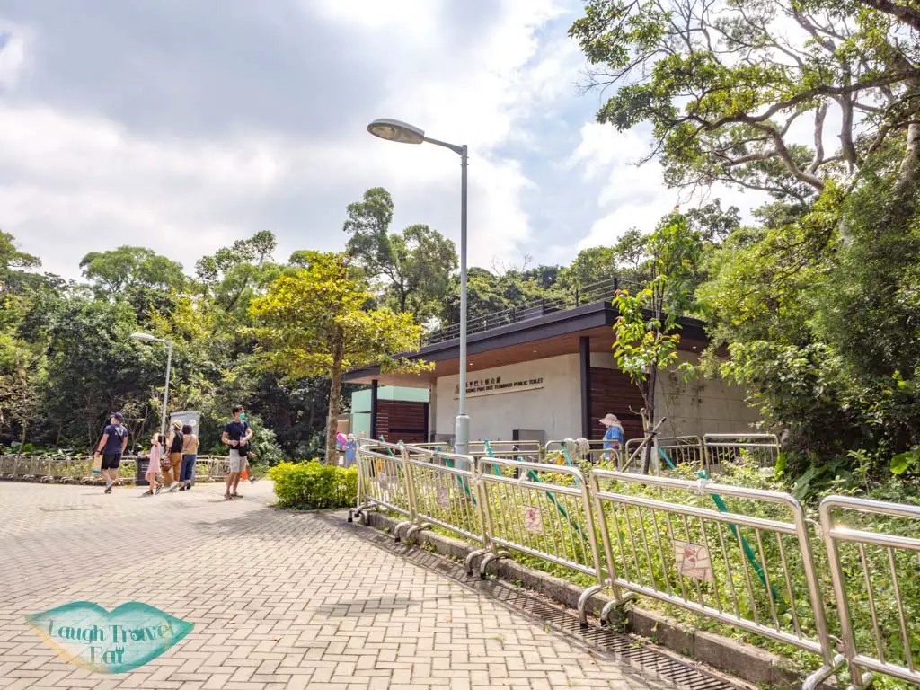
Last public pathroom
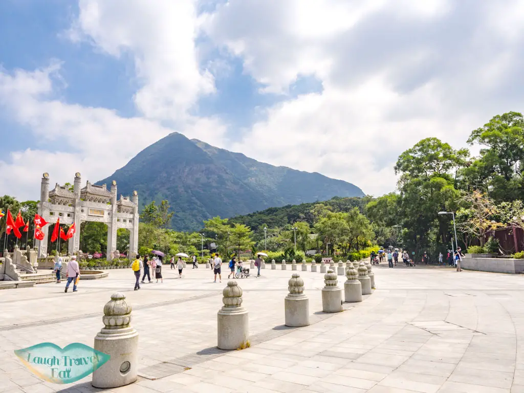
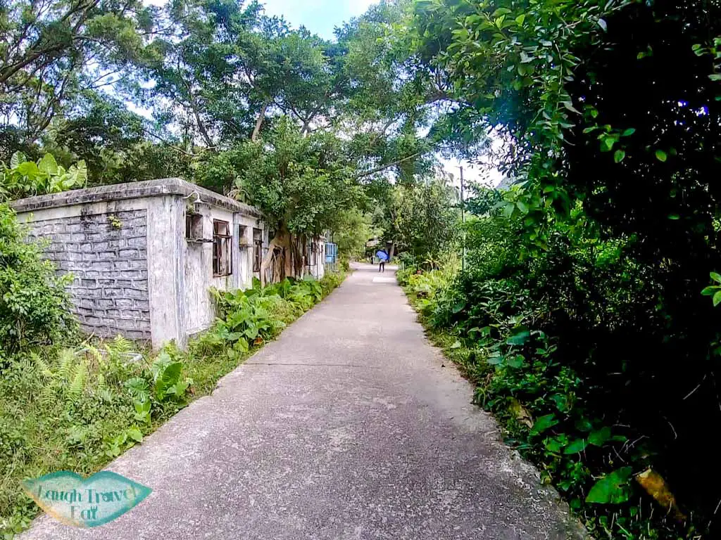
From Ngong Ping, make your way to the wisdom path. There are road signs pointing you in the right direction, and first you pass the Big Buddha, then carry on on the path near it.
The walk from the Big Buddha to the Wisdom Path takes around 15 minutes on a nice concrete trail. If time permits, you can have a look around the whole of Ngong Ping – you can find more information about the Big Buddha and all here.
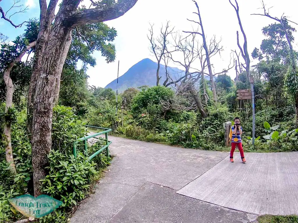
Once you reach the infinity shaped wisdom path, you’ll see the signs that mark the Lantau Trail.
Wisdom Path to Upturn Bowl Rock River (Upper)
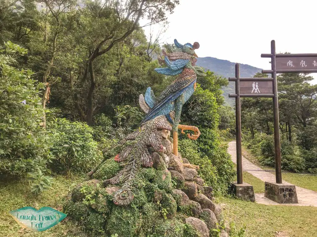
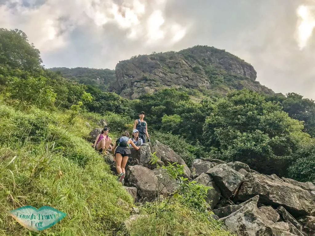
Instead of the Lantau Trail, we hike up a small trail behind the Phoenix on what is loosely translated as the Upturn Bowl Rock River (Upper).
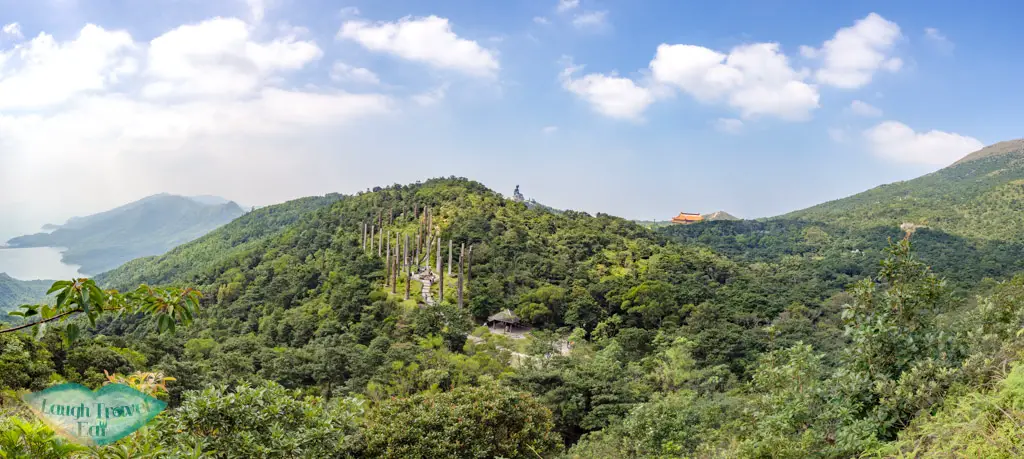
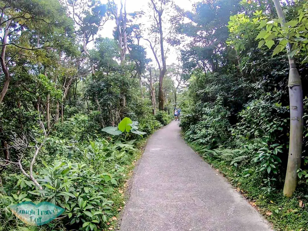
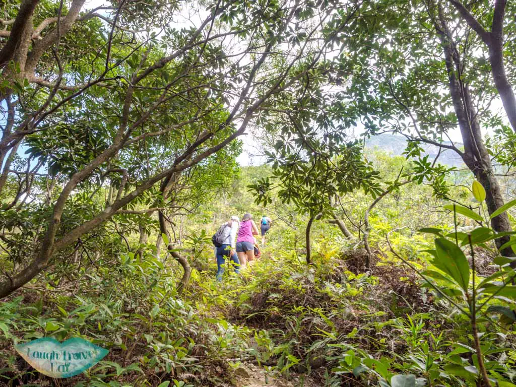
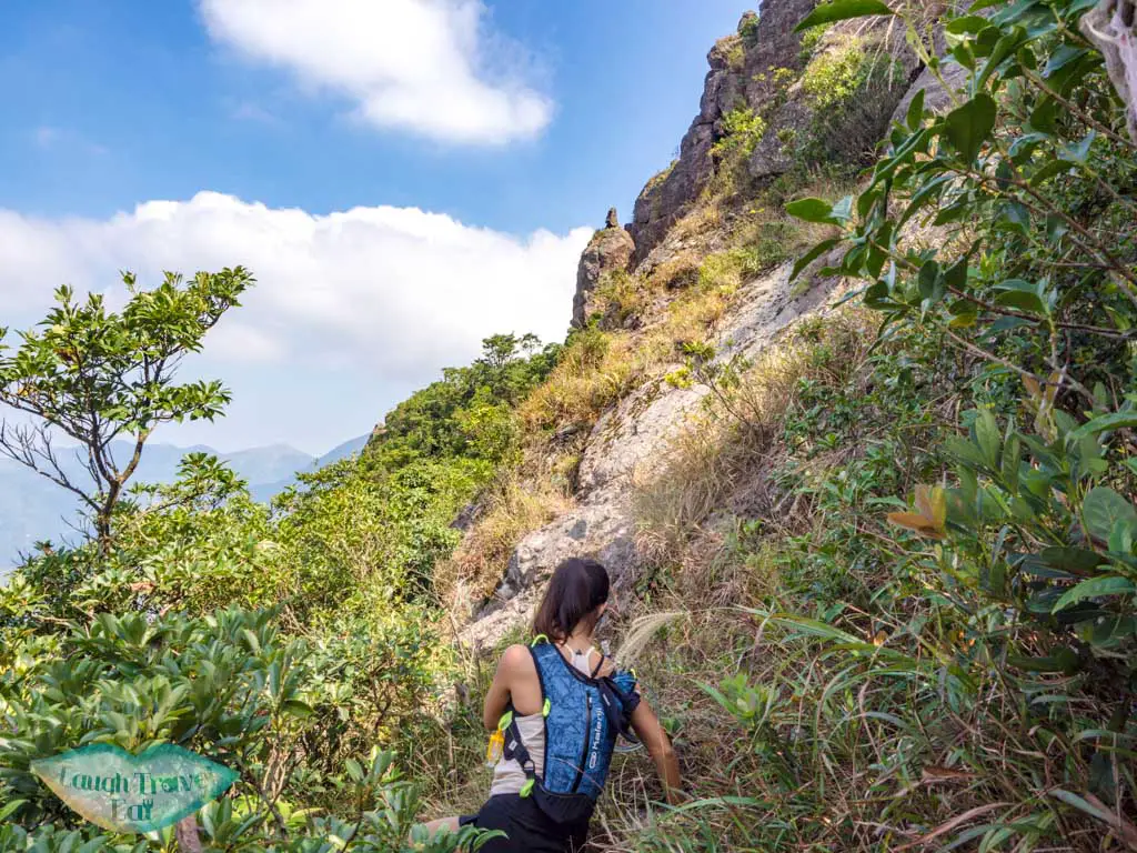
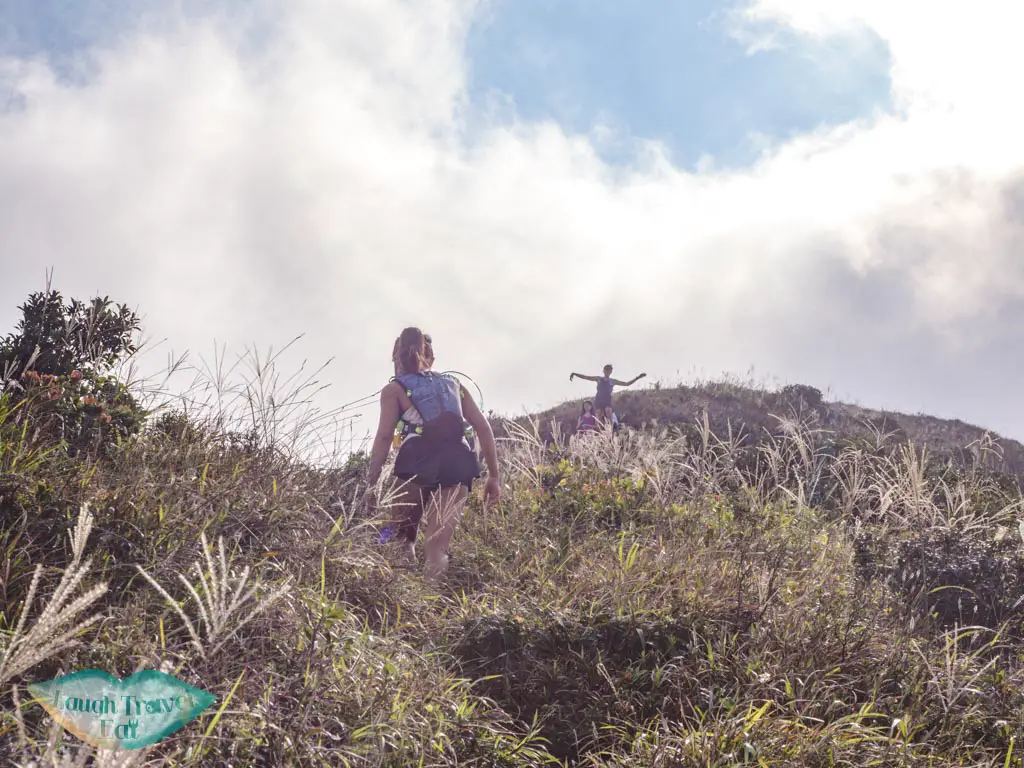
The term rock river refers to the loose boulders and rocks that made up the trail. But the first stretch is still mostly dirt trail and vegetation, even if it is fairly steep.
Once the trail gets close to the rocks, watch out for your footing as some rocks are loose and unstable.
Overturn Bowl Cliff to Law Hon Tap
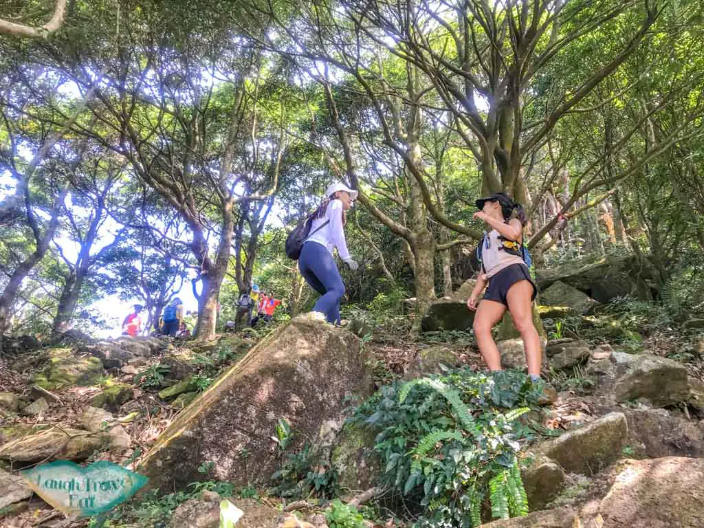
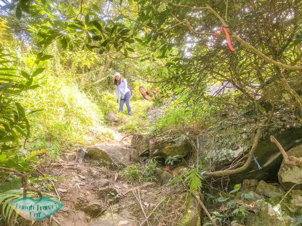
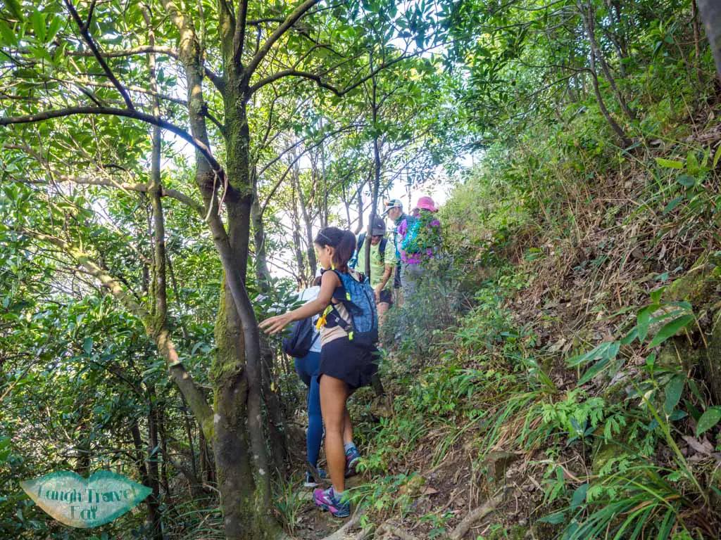
Once we reached the small forest by the cliff, we took the Pak Ngam Chaan Path towards Law Hon Tap.
It’s basically the small trail towards the other edge of the cliff.
You do have to climb at several instances but it’s totally doable.
Narrow skyway
The trail eventually takes you to a narrow skyway – I called it that because you have to squeeze between two 3m tall rock face and you can see nothing but the sky behind it.
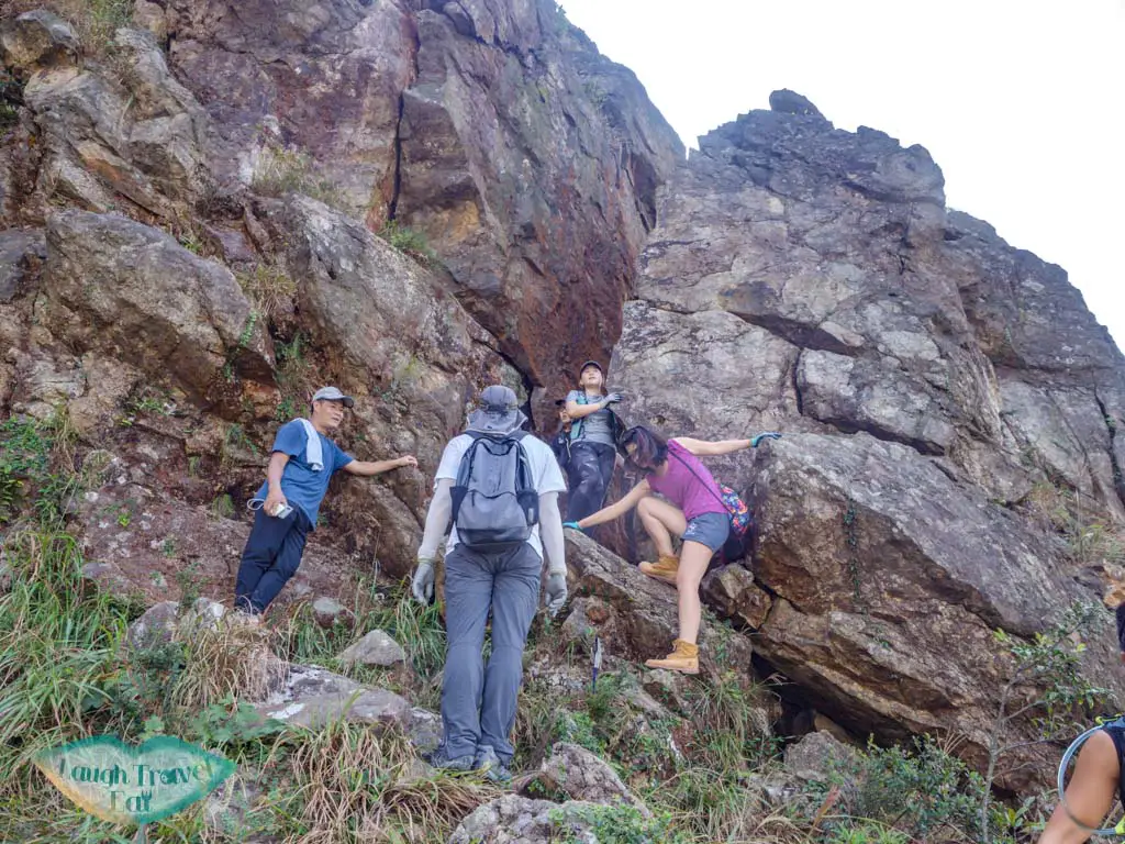
The trail actually goes down at a reasonable steepness behind it – so don’t worry.
While it is a good photo spot, it’s also impossible to cross it another way so don’t block the path for too long!
Dripping Cliff
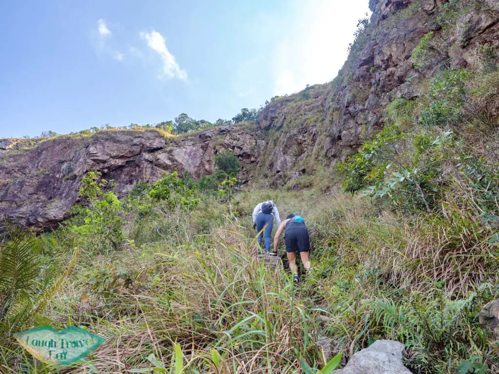
The dripping cliff is just at the valley behind the Narrow Skyway. It’s named that because it drips down water almost year round. And if you’re quiet, you can hear the sound of the water droplet clearly.
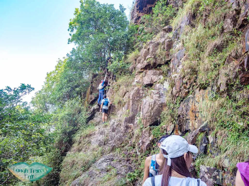
From there, it’s the steepest climb up on the hike with a rope assist. Again, don’t rely on the rope because they are constantly tugged and weathered. Get a member of your hiking team who is taller or more agile to go up first and help the rest up if needed.
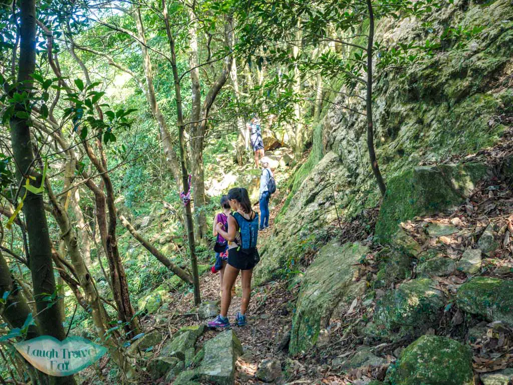
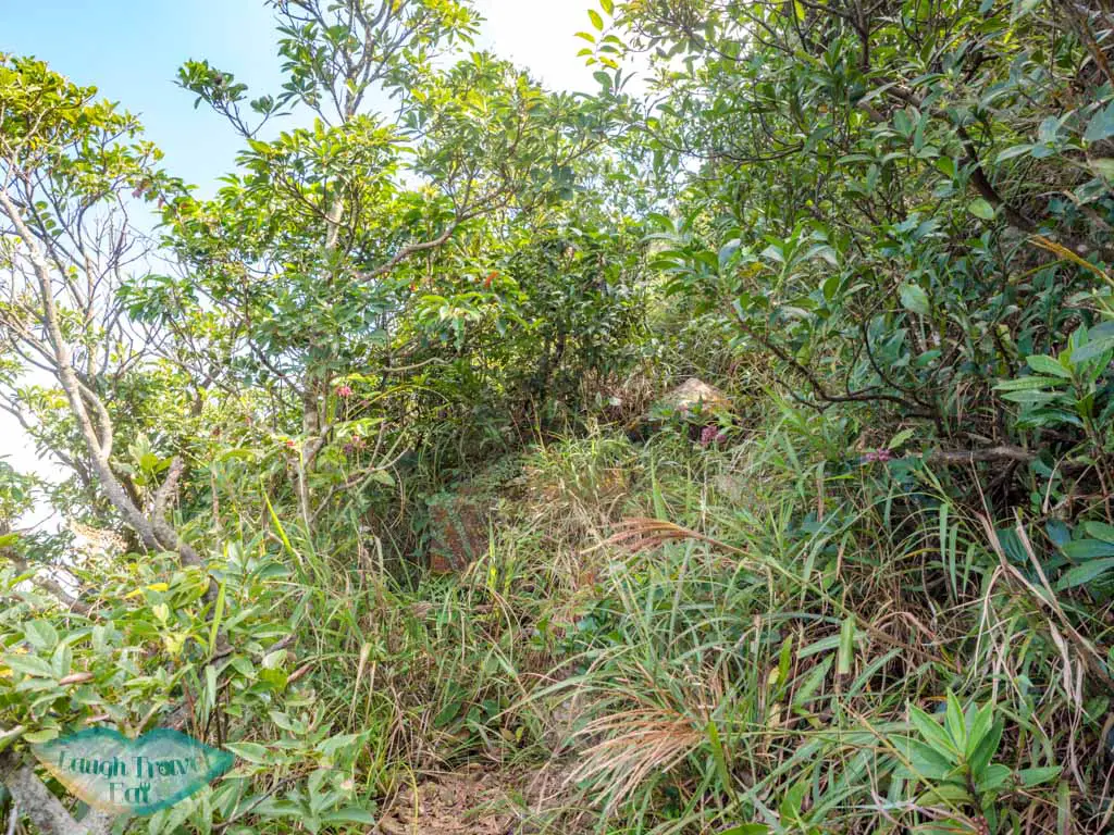
The trail after is a narrow rock affair, but no more difficult than the ones before. There is one part where we had to climb on a rock face that’s almost taller than me to continue on, otherwise, it’s marked by ribbon.
One Tree Cave
This famous cave can be easily missed along the trail if you are not looking out for it. Although most of the time, there will be a crowd in there so you should hear them.
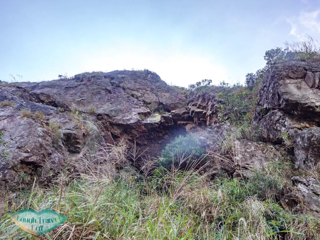
It’s to the right of the trail near Law Hon Tap, a towering block of jagged rocks, and you should be able to see the top of the cave.
The cave has one tree that grows right at the entrance, higher than the others, and those got its name. The best place to take a photo is to lean or climb on the rocks on the left facing the cliff entrance, but be careful of the slippery ground.
Note: it’s a very popular place for photos so be a friendly and conscious hiker and don’t take over the cave!
Law Hon Tap
Make your way back out of the cave and carry on. The trail won’t take you up Law Hon Tap, but people are known to scale it. I don’t recommend it if you don’t have bouldering experience.
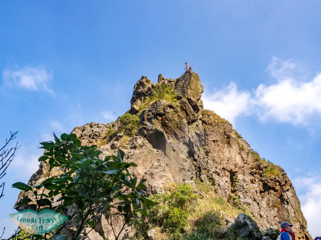
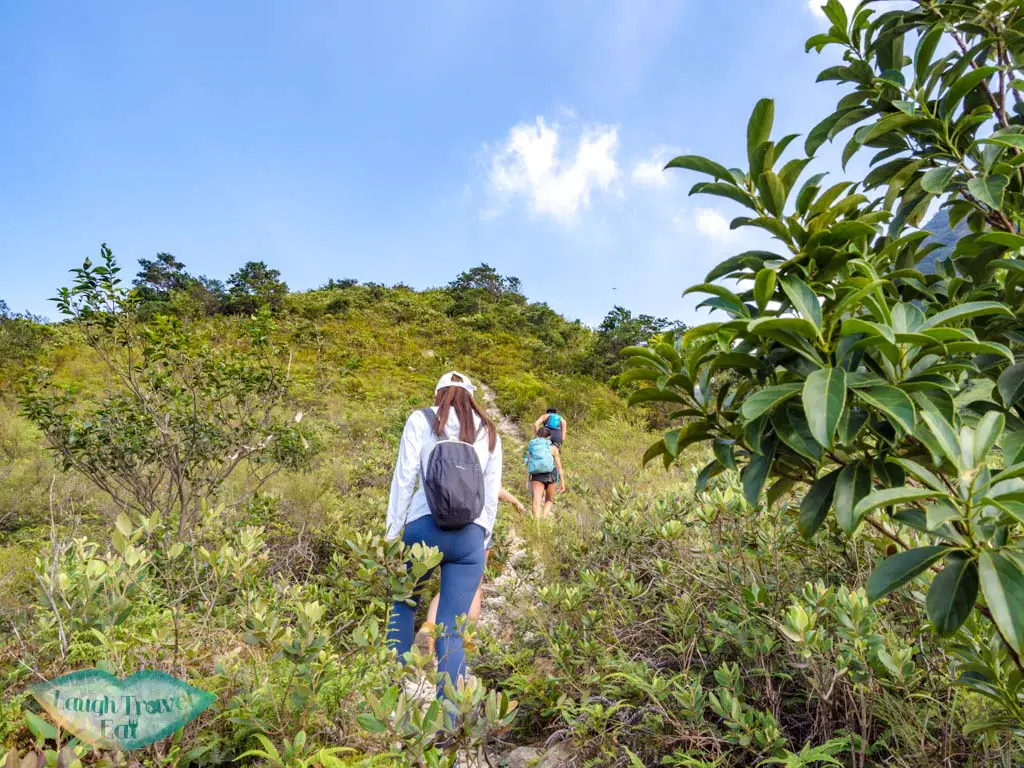
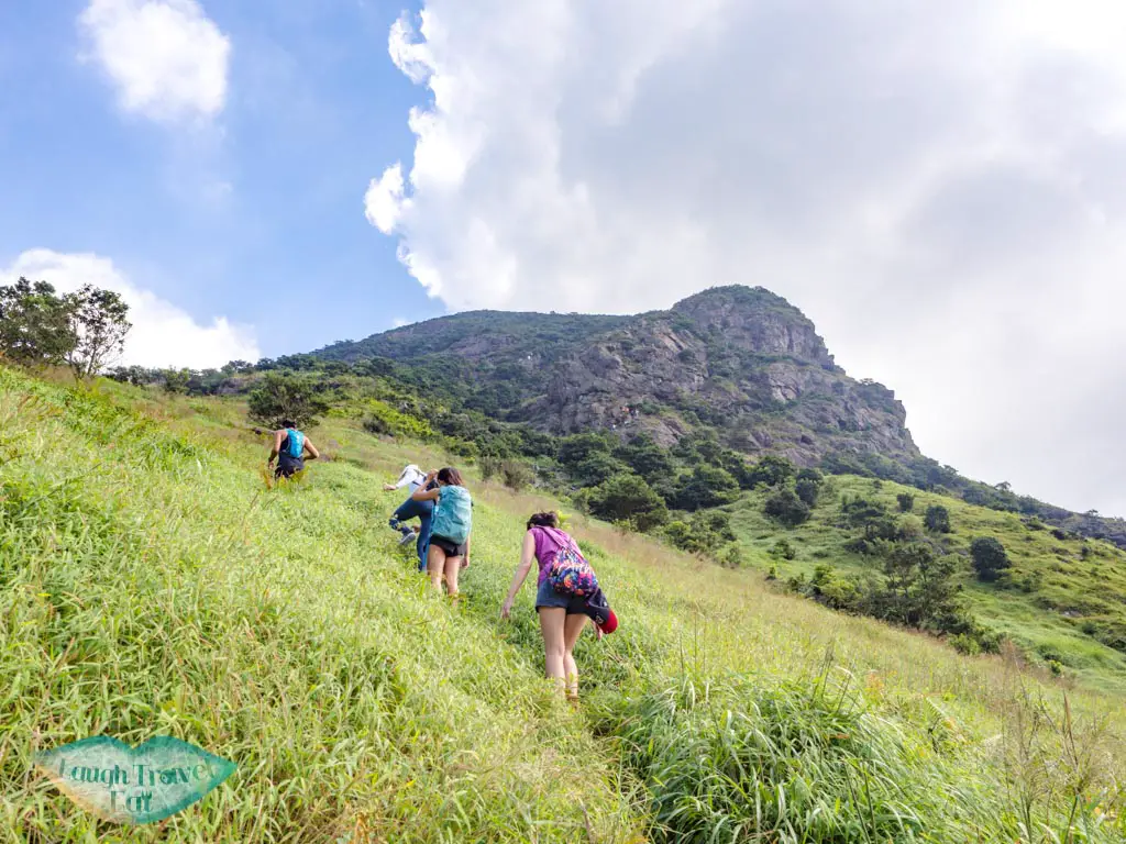
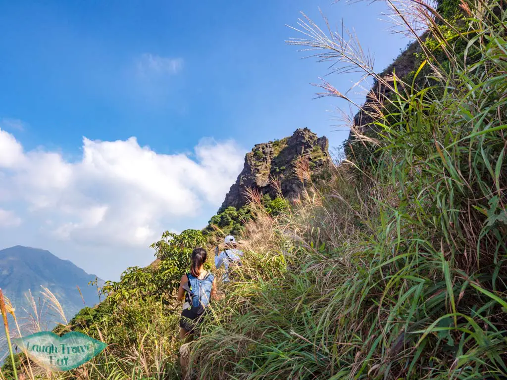
From here, it’s a climb up to the Lantau Peak.
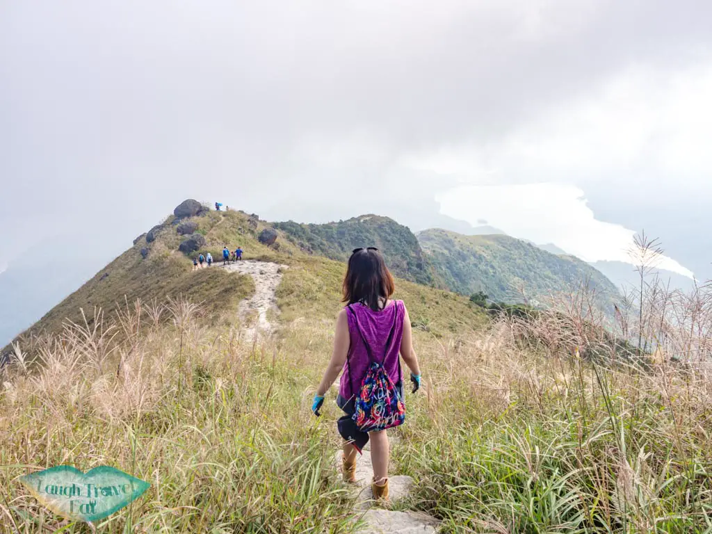
This is a prime silver grass photography destination between late October to December.
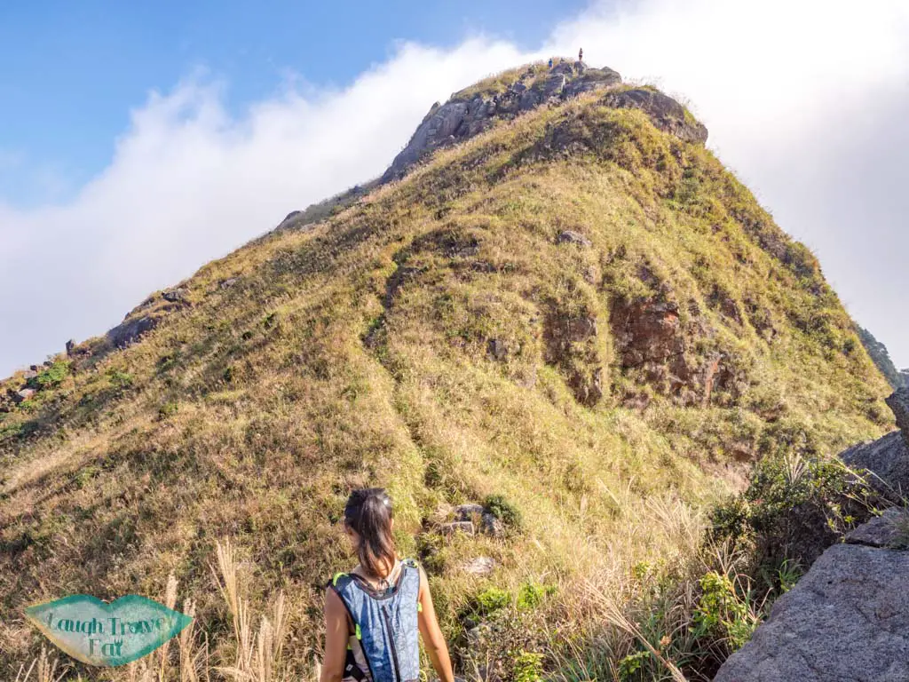
You first reach a small hill, then you need to go down and up again to get to the Lantau Peak.
Lantau Peak
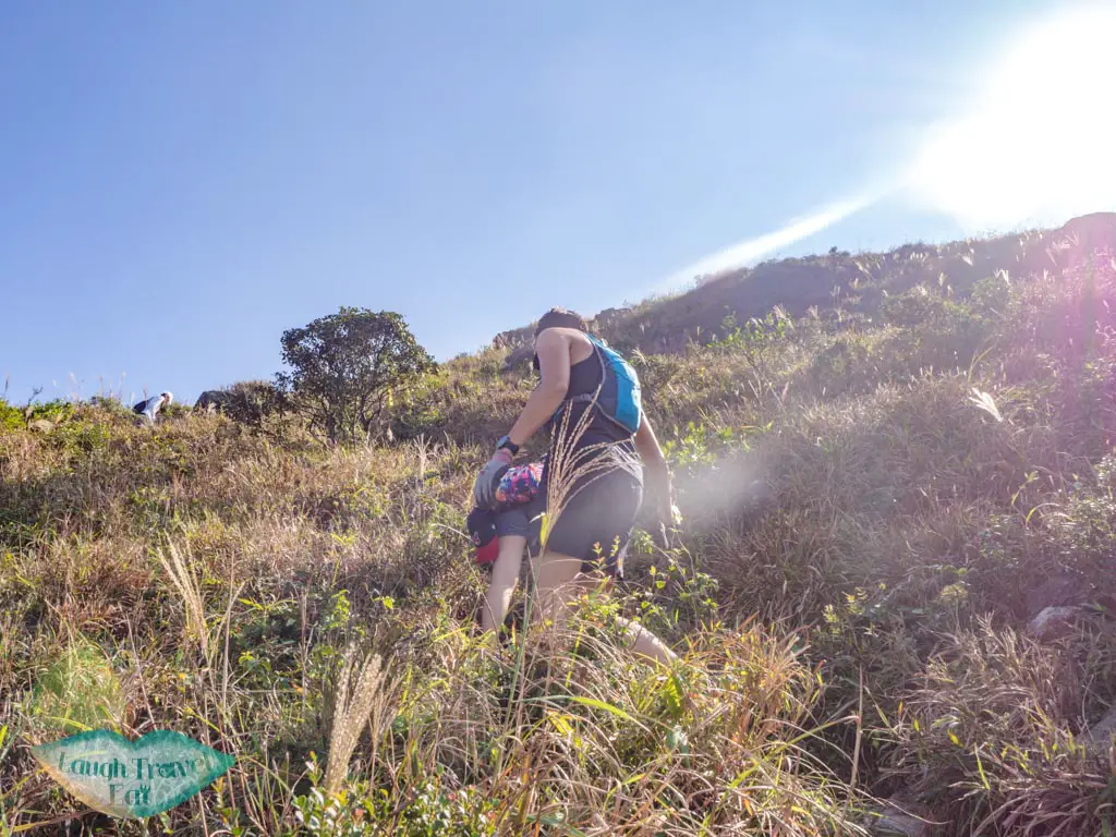
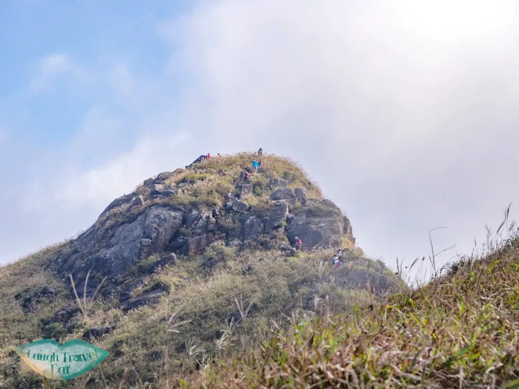
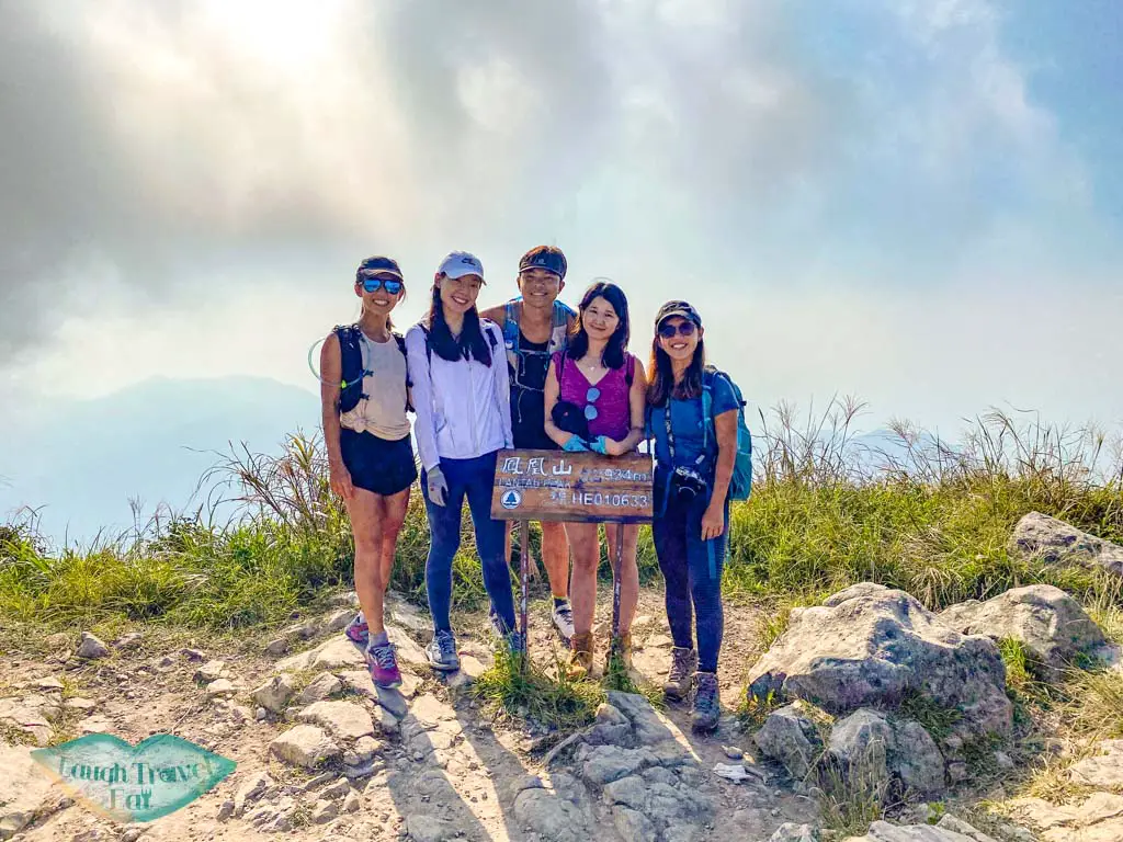
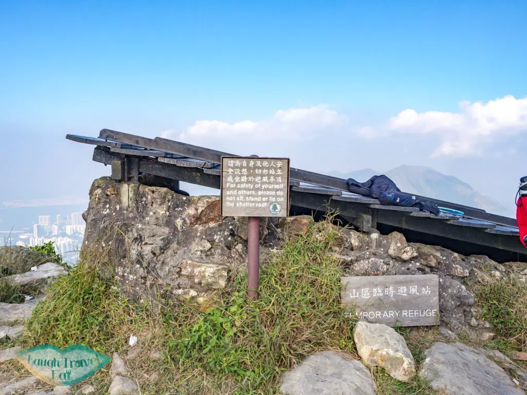
The last stretch up involves more climbing over boulders, but the top is surprisingly wide. There are two wind shelters in case of high wind. It’s a popular place for hikers to stop, naturally, so to avoid them we got a photo and then went on our way.
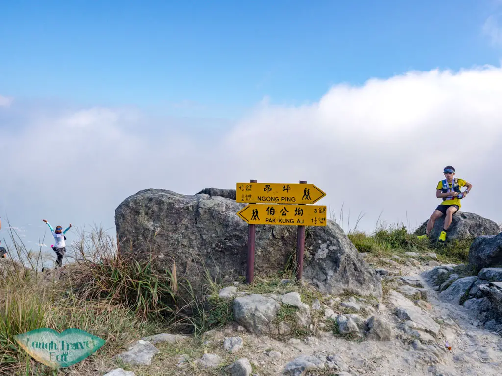
After deliberation, we decided to go back to Ngong Ping via Tsam Chai Au.
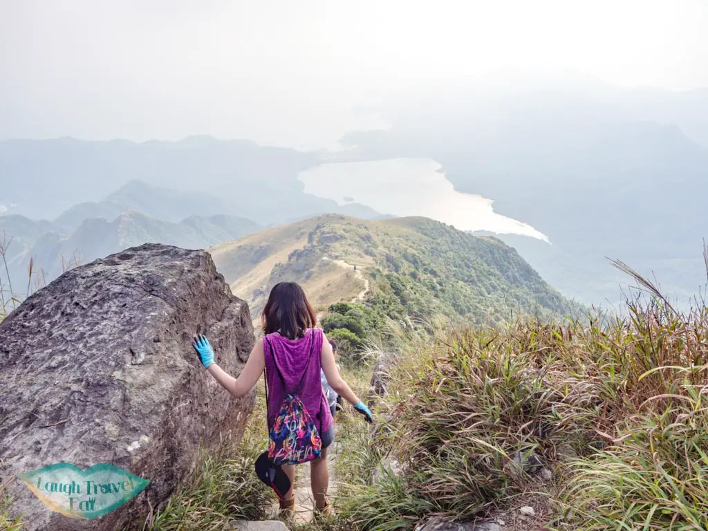
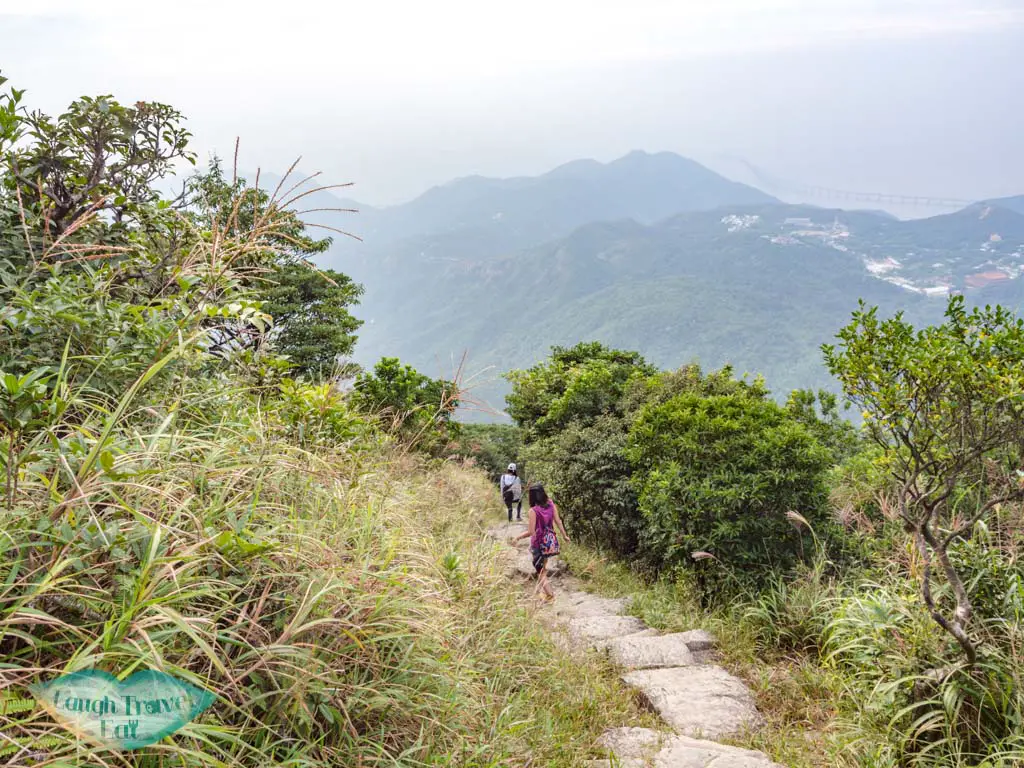
The trail that goes down to Tsam Chai Au is directly across from where we came up. It’s a steep descent down that transitioned to stairs.
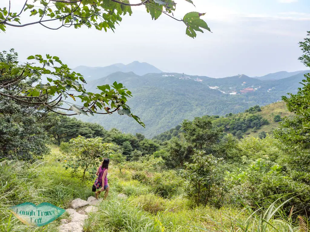
The view of the Shek Pik Reservoir and Kau Nga Ling is pretty amazing – so take your time to enjoy the view.
Tsam Chai Au
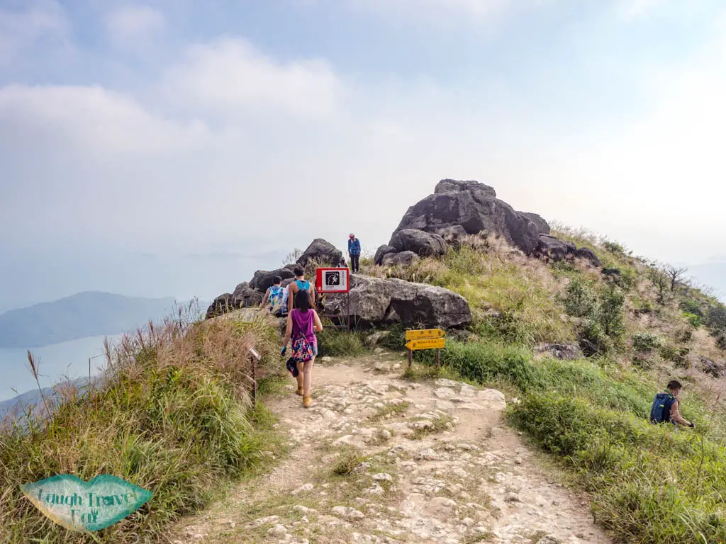
The trail that takes you back to Wisdom path is to the right, but you can also go into the big boulder cluster and down to see the bird rock.
Bonus: Bird rock
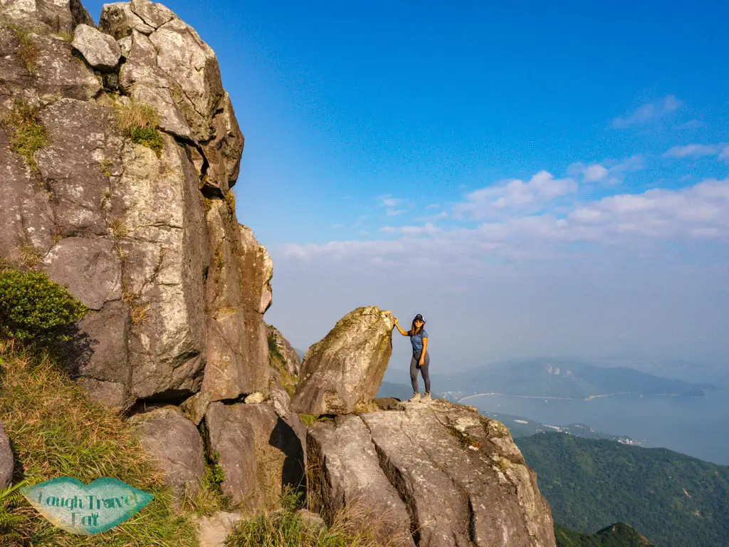
The bird rock is named so because the smaller boulder atop the bigger one makes it look like a bird turning its head slightly. You can climb on top of the body and take a photo next to the head.
If you carry on down, you’ll be hiking to one of the Kau Nga Ling that ends at the Shek Pik Reservoir.
Otherwise, go back to Tsam Chai Au to go down the Lantau Trail.
Lantau Trail back to Wisdom Path
The Lantau Trail mostly consists of stairs that meander endlessly down, with a few flat stretches that allow you to catch your breath.
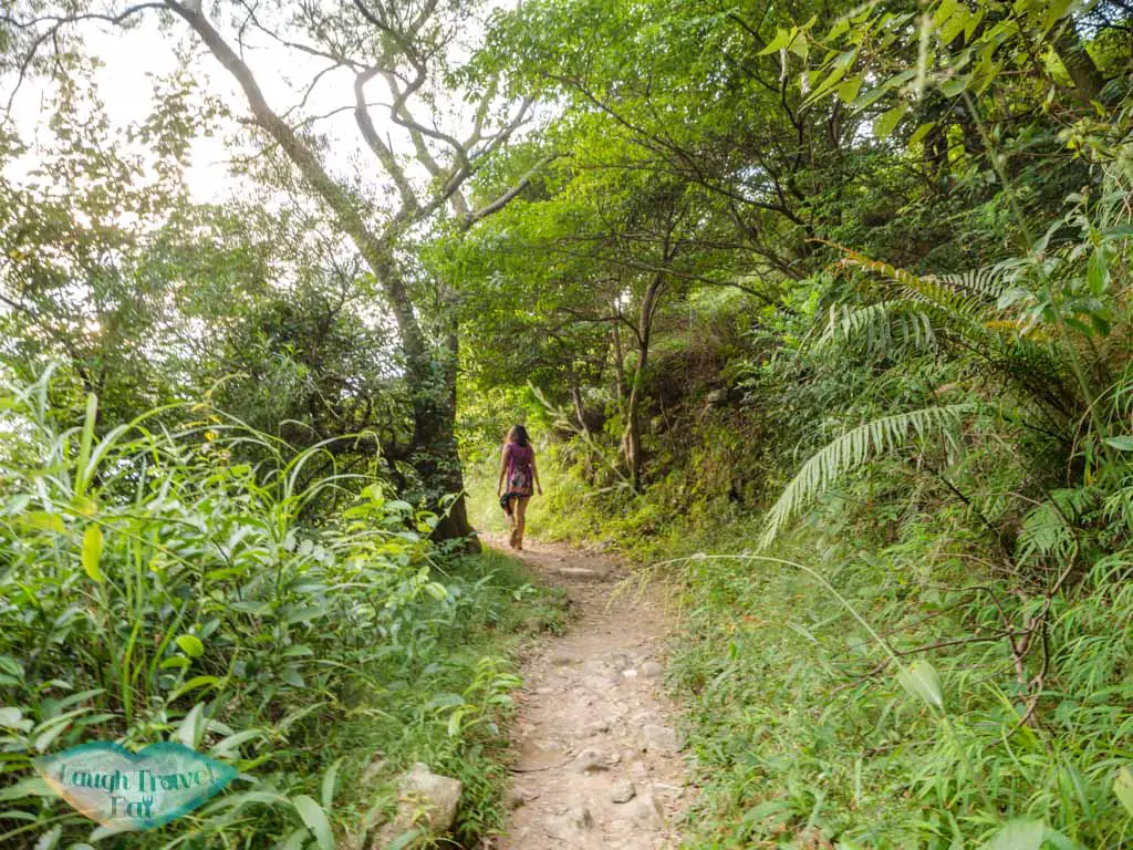
If you are fast, you can probably get down in half an hour.
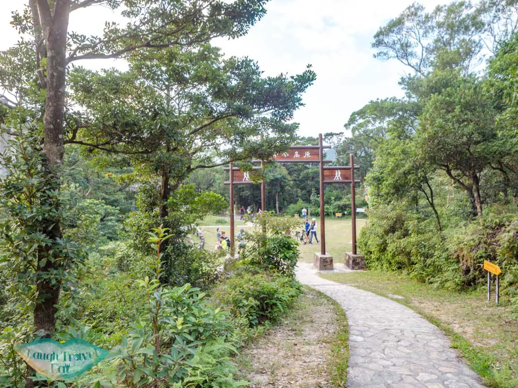
It takes you right back to the giant ping-fong by the Wisdom Path, where we bypassed and went up the trail to its left.
Getting out from Lantau Peak
From here, it’s 20 minutes to go back to the bus station at Ngong Ping. you can either take the bus 23 at the bus station by the Ngong Ping Village or take the Ngong Ping 360. It should be sunset time when you leave so the view would be spectacular.


 中文 (香港)