William Hill Casino offers a choice of two different welcome bonuses, which consists of a regular welcome offer and a higher roller William Hill bonus for players wanting to boost their bankroll even more.
There are multiplier values that could appear as part of an instant prize feature.
To be truthful, hiking the entire MacLehose Trail 2 is not something I generally do. The hike stretches from Sai Wan Pavilion to Pak Tam Au, a paved concrete trail that passes the Sai Wan Beach and Ham Tin Beach.
The Pak Tam Au side of the trail is known as Chek Keng and is the starting point for the Sharp Peak hike. While the Sai Wan Pavilion start links to Kam Kui Shek Teng as well as the beach itself.
Here’s a guide to the entire stretch, but you’re welcome to only hike a part of it to chill or the beach like I usually do.
MacLehose Trail Section 2 summary
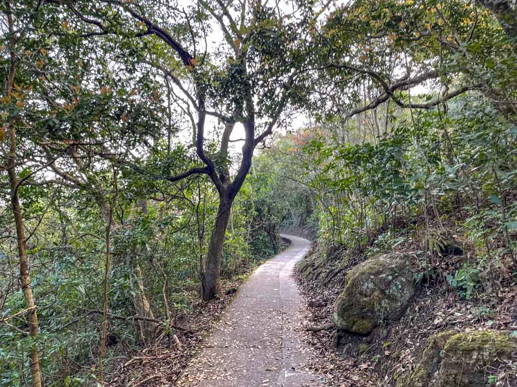
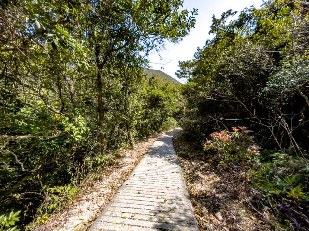
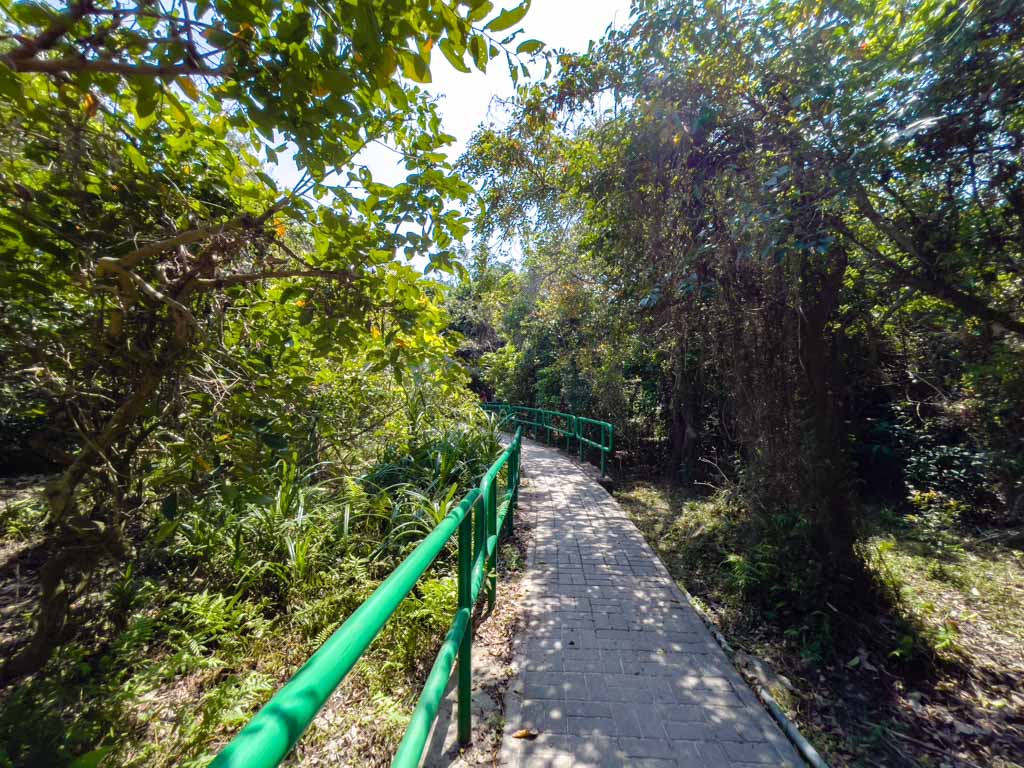
MacLehose Trail Section 2 hike difficulty: 2/5 as it’s a well-paved trail that has limited ups and downs
Time taken: 3 hours
Pros: the trail is well paved and suitable for beginner
Cons: Aside from the two beaches, there isn’t much of a view along the way.
MacLehose Trail Section 2 Trail Start
You can start either side for the MacLehose Trail Section 2. The climb is less steep from Sai Wan Pavilion, but it’s easier to get out from Pak Tam Au with the bus.
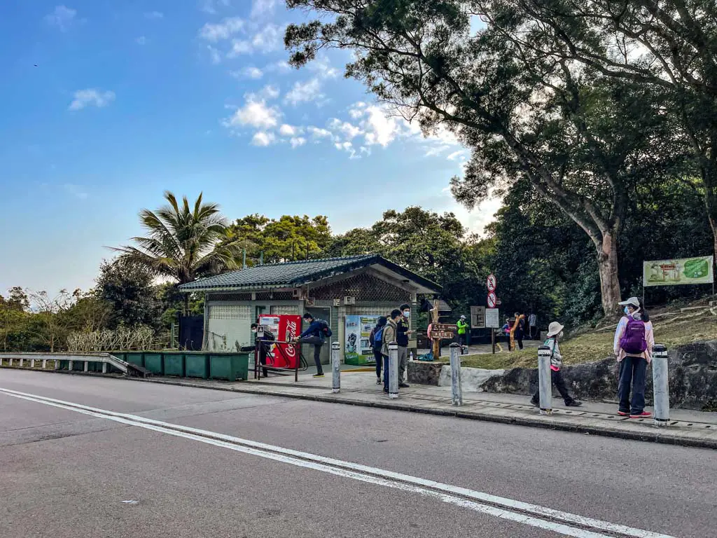
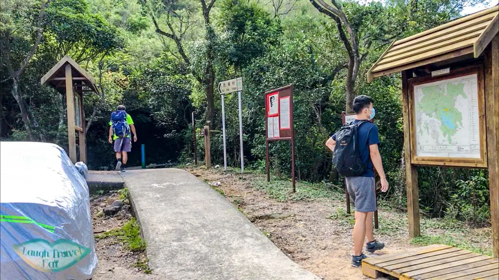
Pak Tam Au
Pak Tam Au is the trail start for a couple of hikes, and since it’s located inside the Sai Kung Geopark, the journey starts from Sai Kung:
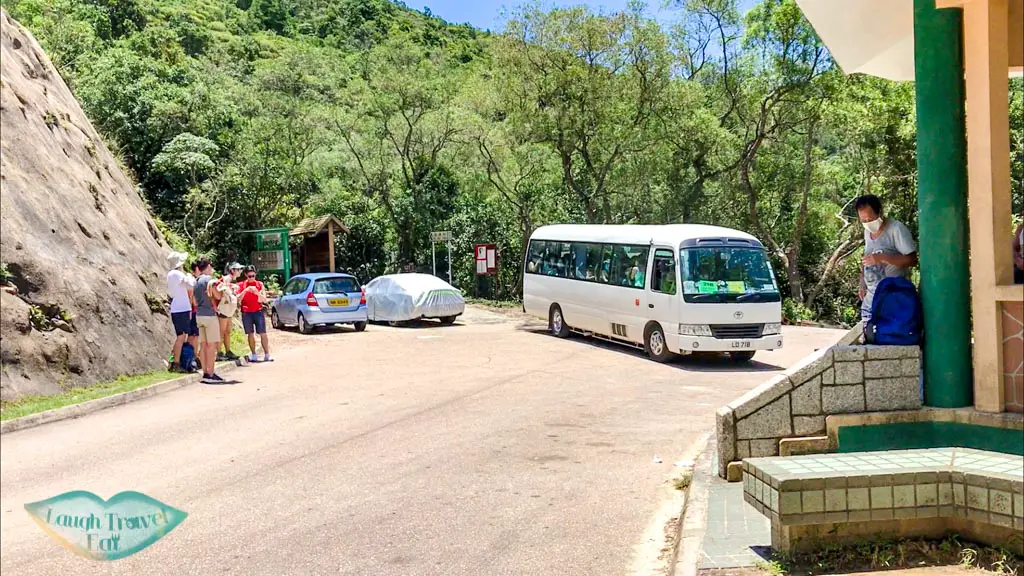
Public transport to Sai Wan Pavilion is limited with only a private minibus that departs from Sai Kung town center in front of McDonald’s.
NR29 is often spotting a huge queue and with sparse services. If you’re heading out from Sai Wan Pavilion early, you might be able to catch a ride
Taxi is fastest and should cost between 100-120HKD, which splits to 20 if you’re 5 and only 1 dollar more expensive than taking the minivan.
MacLehose Trail Section 2 Hike
I’ll write about this the easy way, starting from Pak Tam Au.
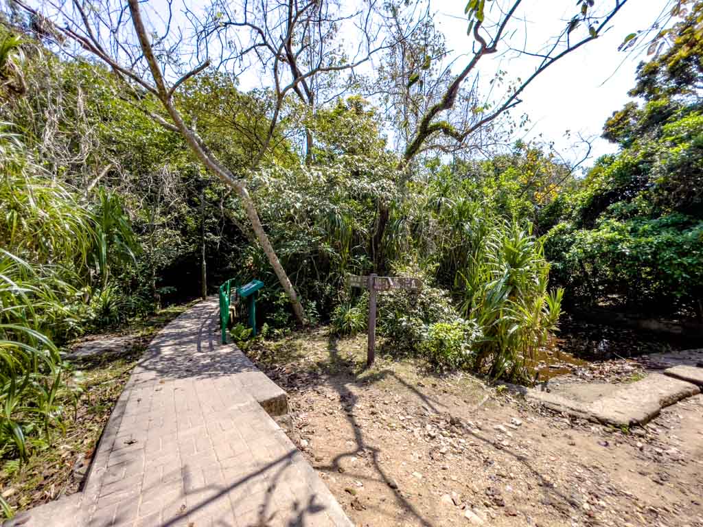
Park Tam Au and Chek Keng
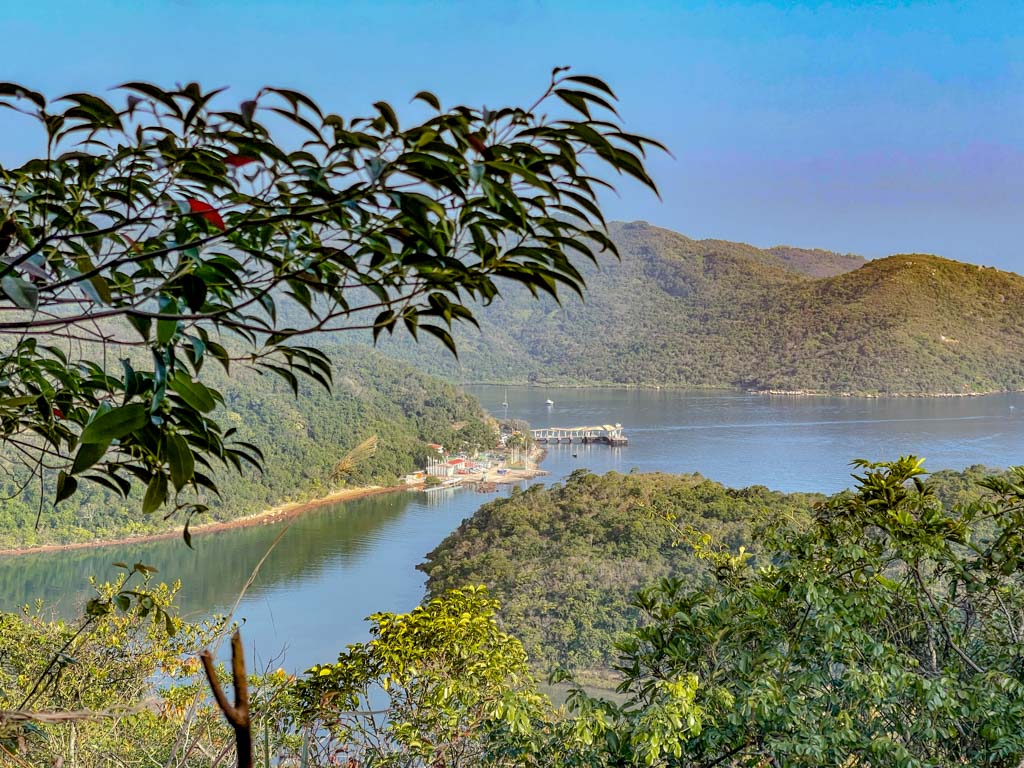
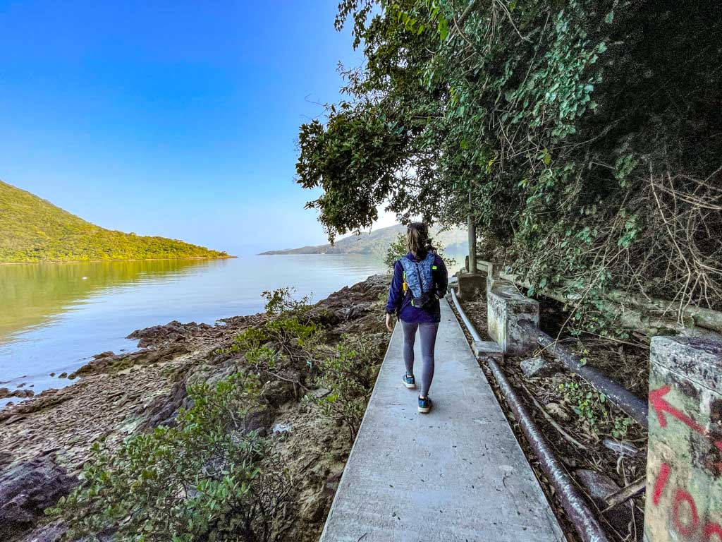
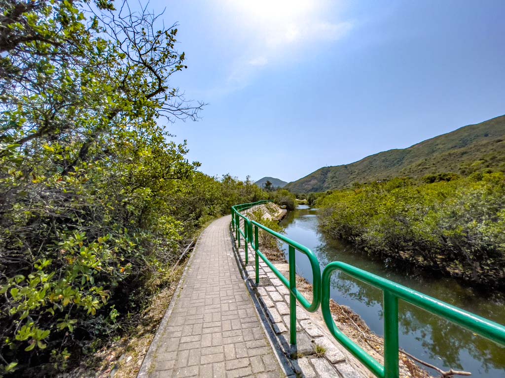
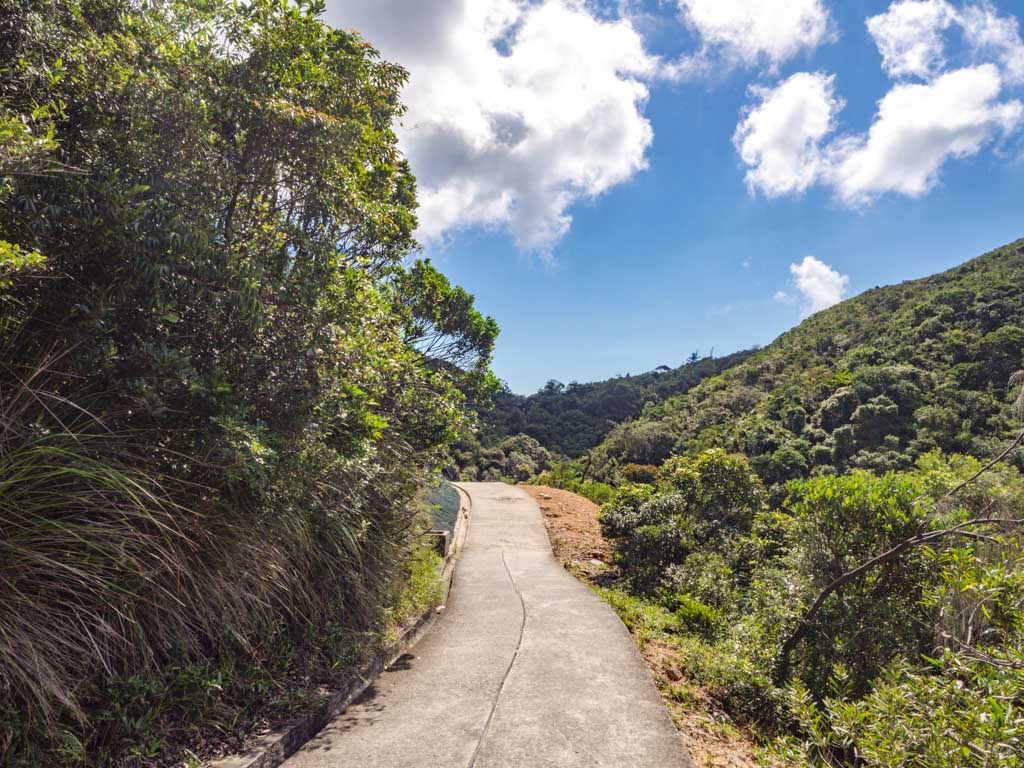
From Pak Tam Au, take the Chek Keng and make your way in. this part of the trail is relatively flat and mostly gently sloping downhill, with glimpses of Wong Shek Pier and Sharp Peak in the distance.
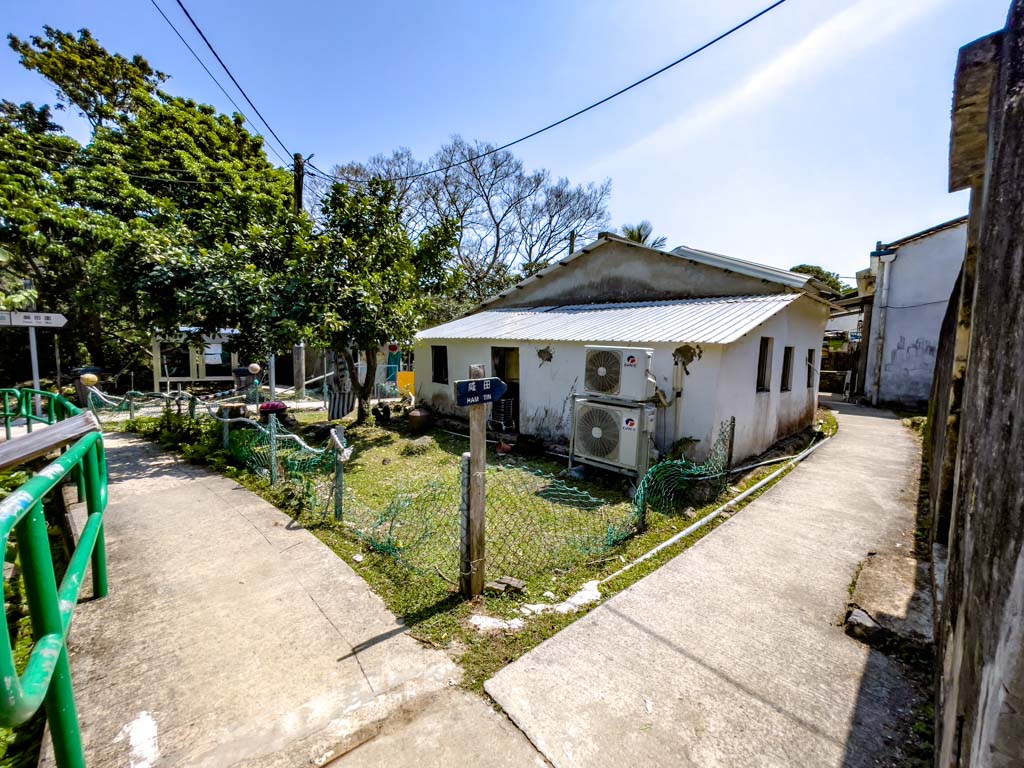
The Chek Keng Village marks just under halfway to hike from Pak Tam Au to Ham Tin Village and it’s a steeper climb towards Tai Long Au.
Tai Long Au
Tai Long Au is the junction between MacLehose Trail Stage 2 and the trail to Sharp Peak. The trail has a steep section going down but it’s still paved.
A warning to the campers venturing down this route – while it is paved, the ridges on the pave for grip make it difficult to roll anything down.
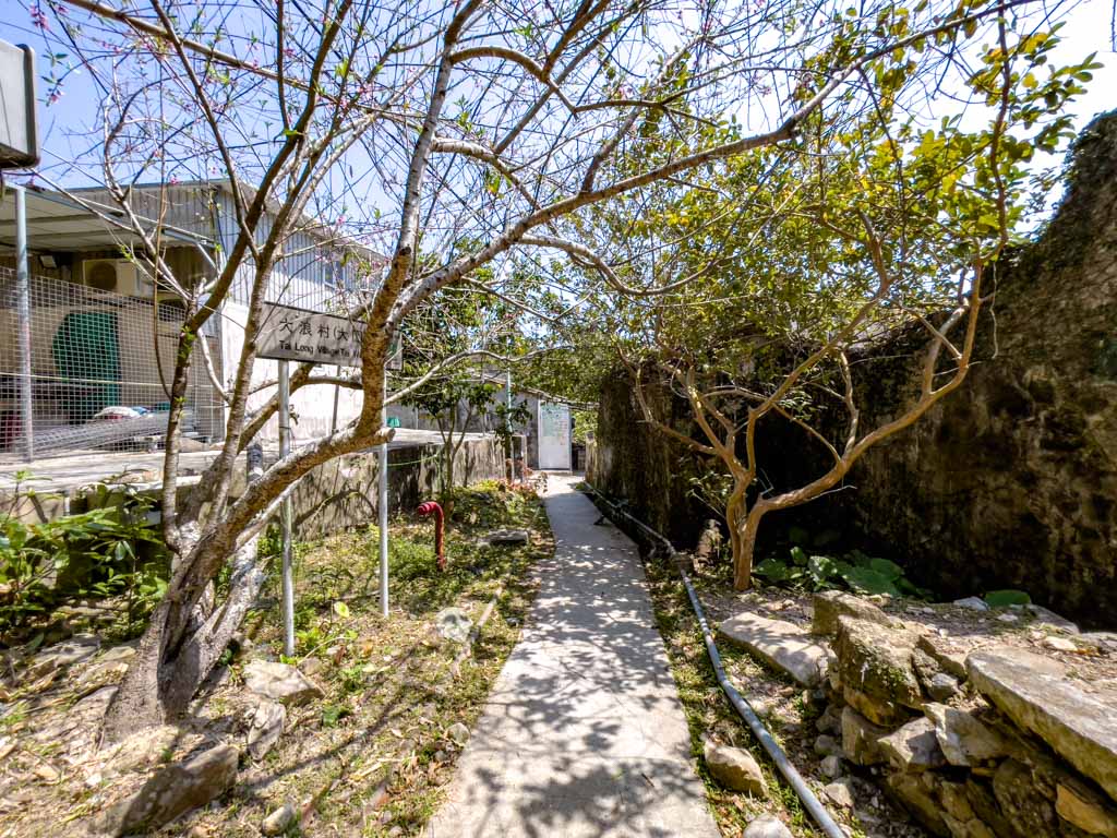
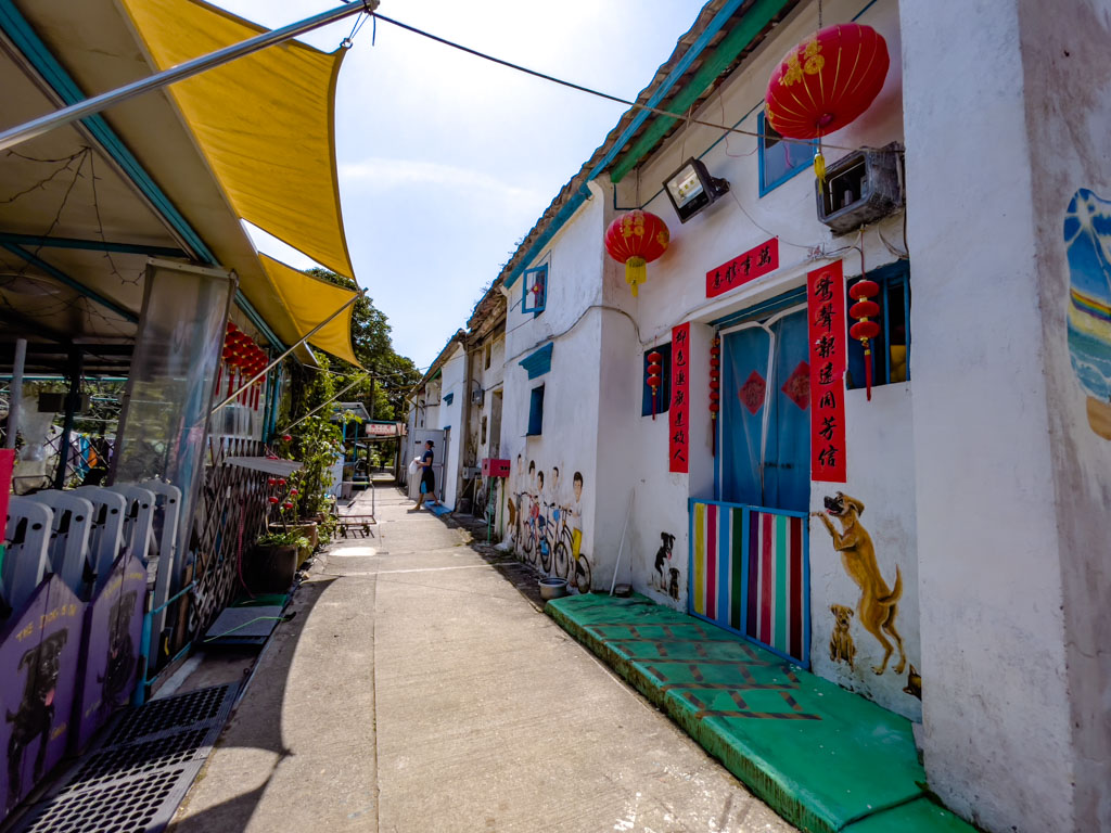
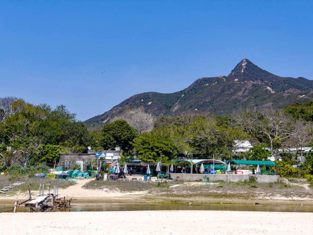
It’s a shorter stretch from Tai Long Au to Ham Tim, and it passes through the Tai Long Village. There are some pretty murals and signpost
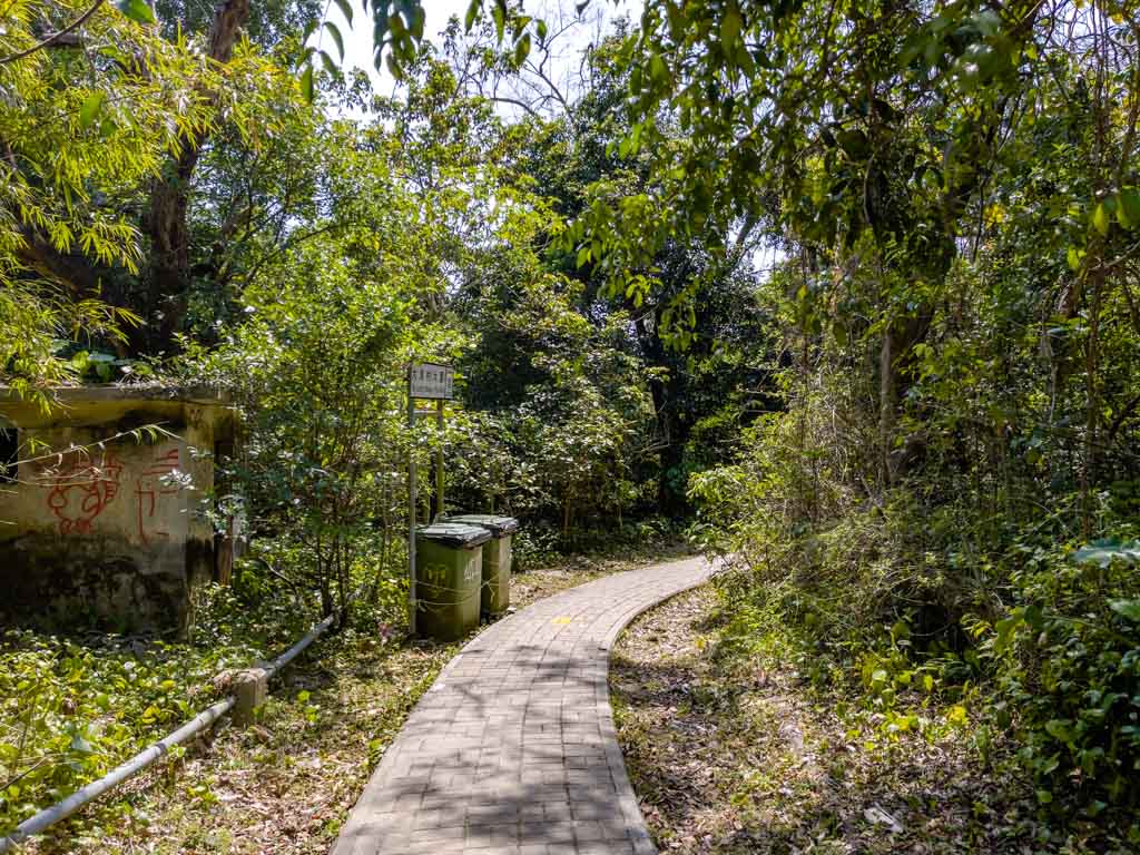
After the village, it’s a flatter hike at the bottom through the forest then along an estuary to Ham Tin.
offshoot to go to Sai Wan directly
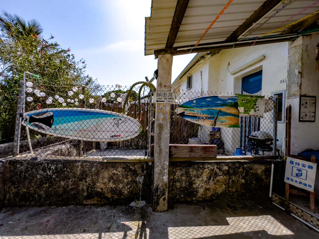
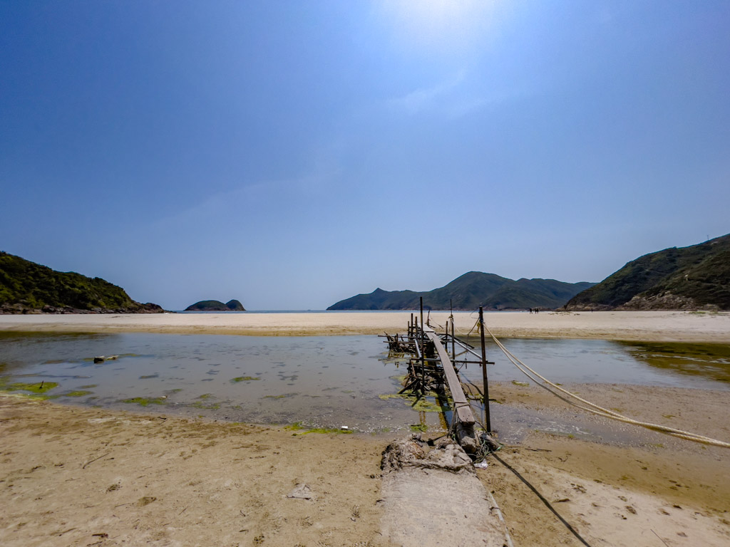
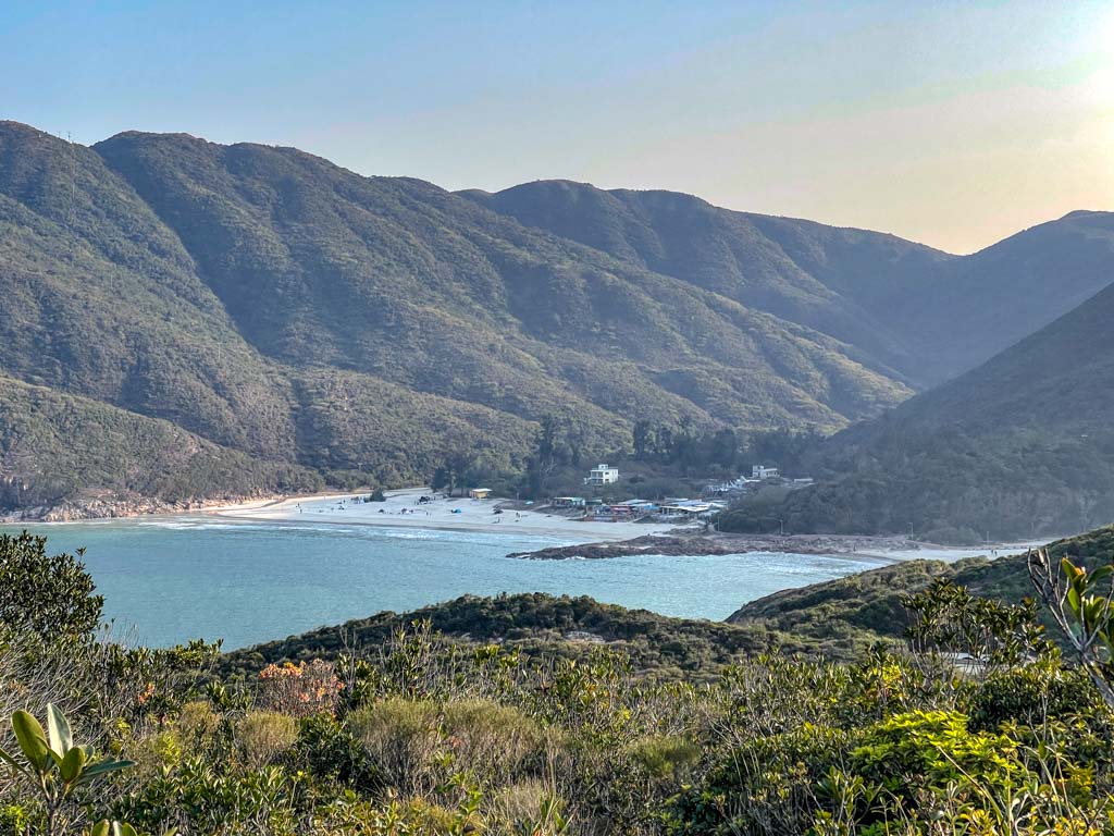
Ham Tin Beach
The trail enters Ham Tin Beach through the Hoi Fung Store. You can also turn left at the junction just before the village to get to Tai Wan.
From this part of the trail, it’s the same as the exit portion of 134 hike – one of the four hardest trails in Hong Kong.
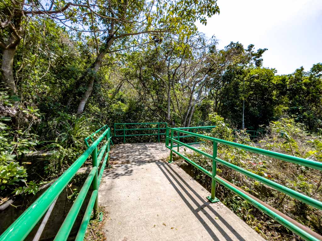
The signature sight of Ham Tim Beach is the little rickety wood bridge that crosses the river to the sandy beach. It’s narrow but pretty safe as long as you keep your balance.
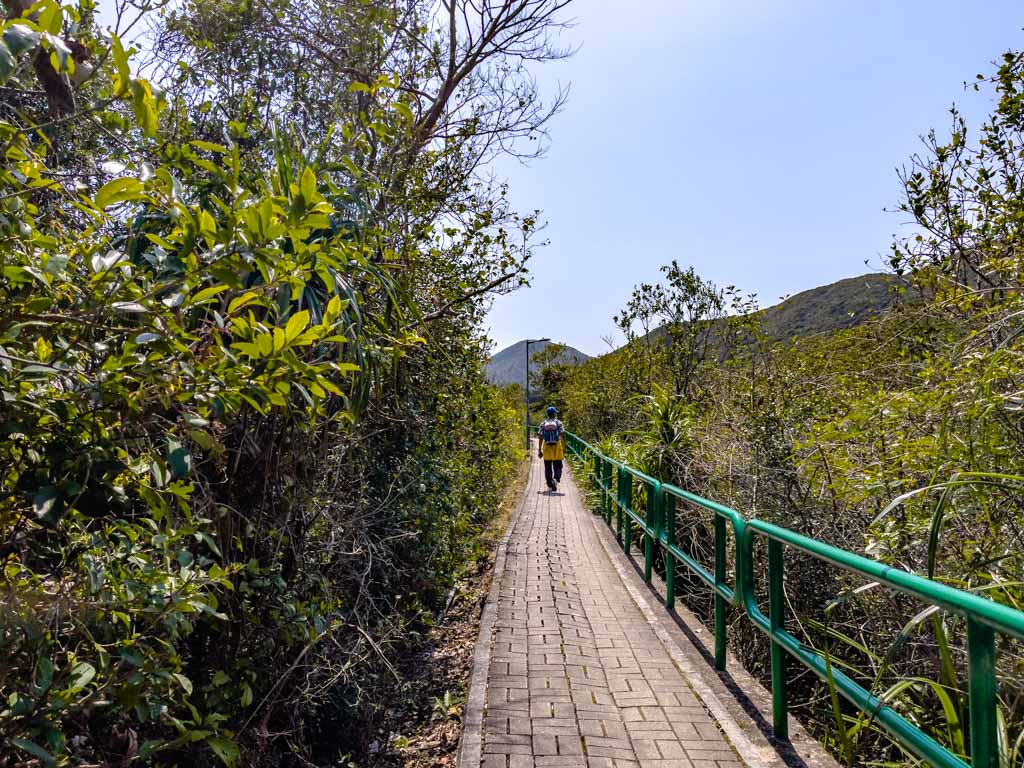
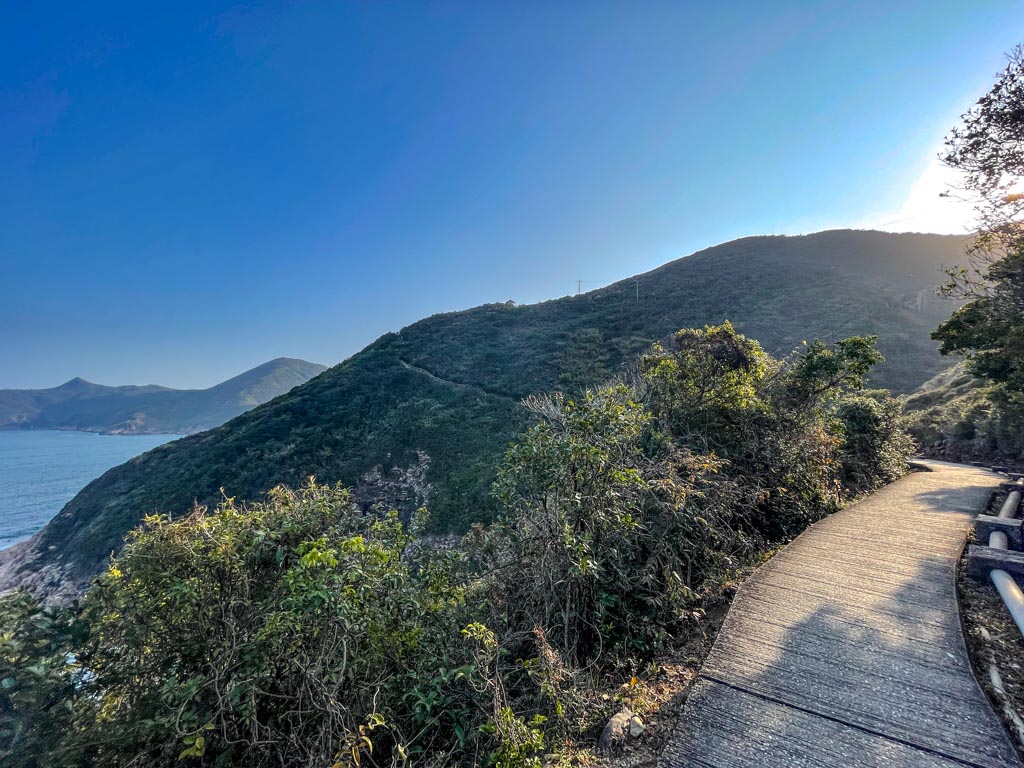
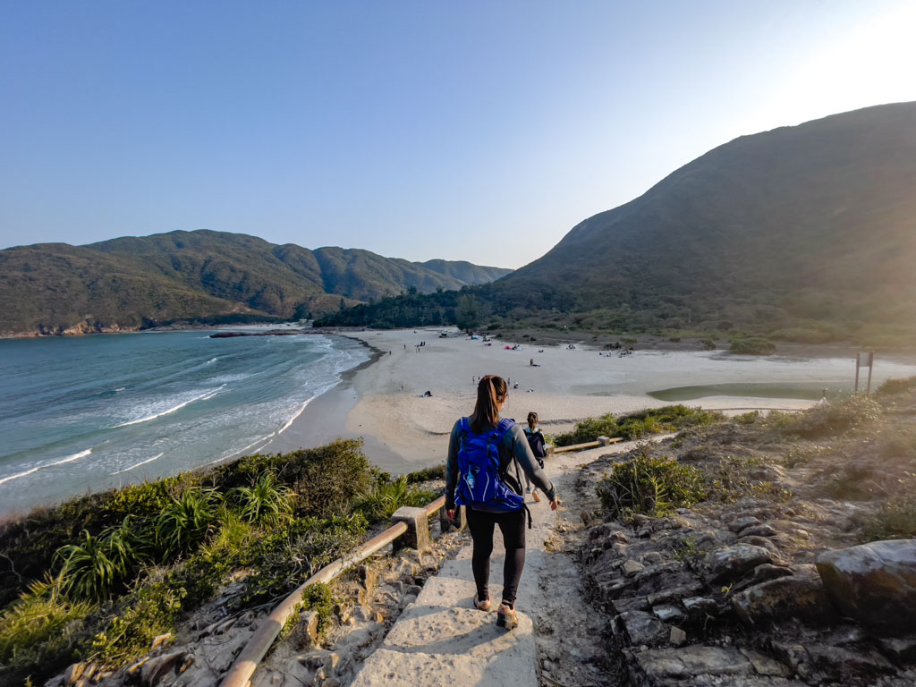
The trail continues to the right on the edge of the beach. It meanders up the hill, following the coastline towards Sai Wan.
You can still catch glimpses of the coastline at the start but it cuts upwards after a while and it’s a longer hike than you expect.
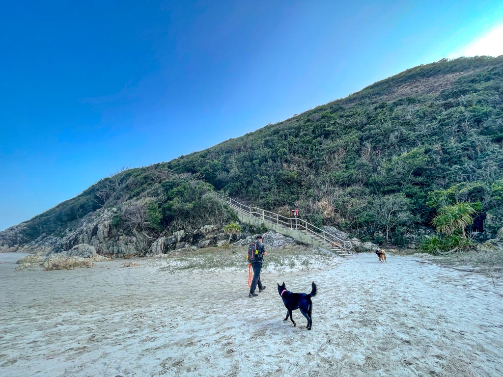
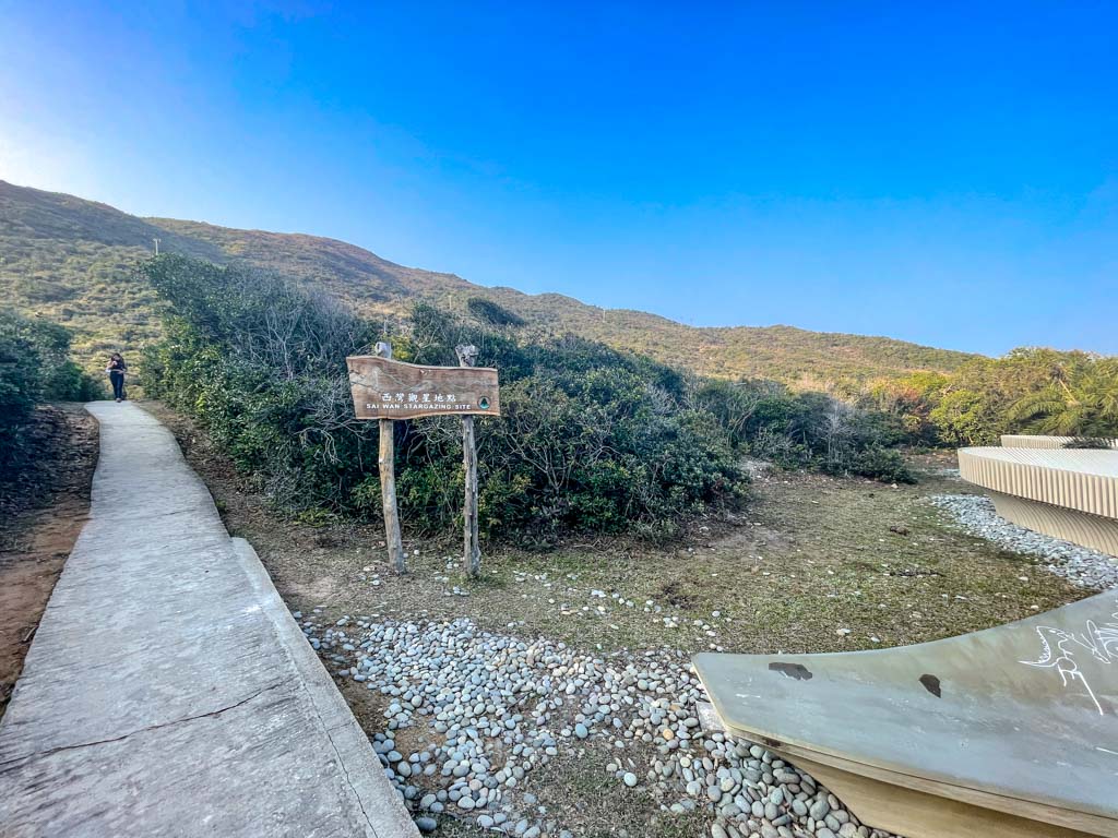
Once you see the Sai Wan Star Gazing site, you’re close to the beach.
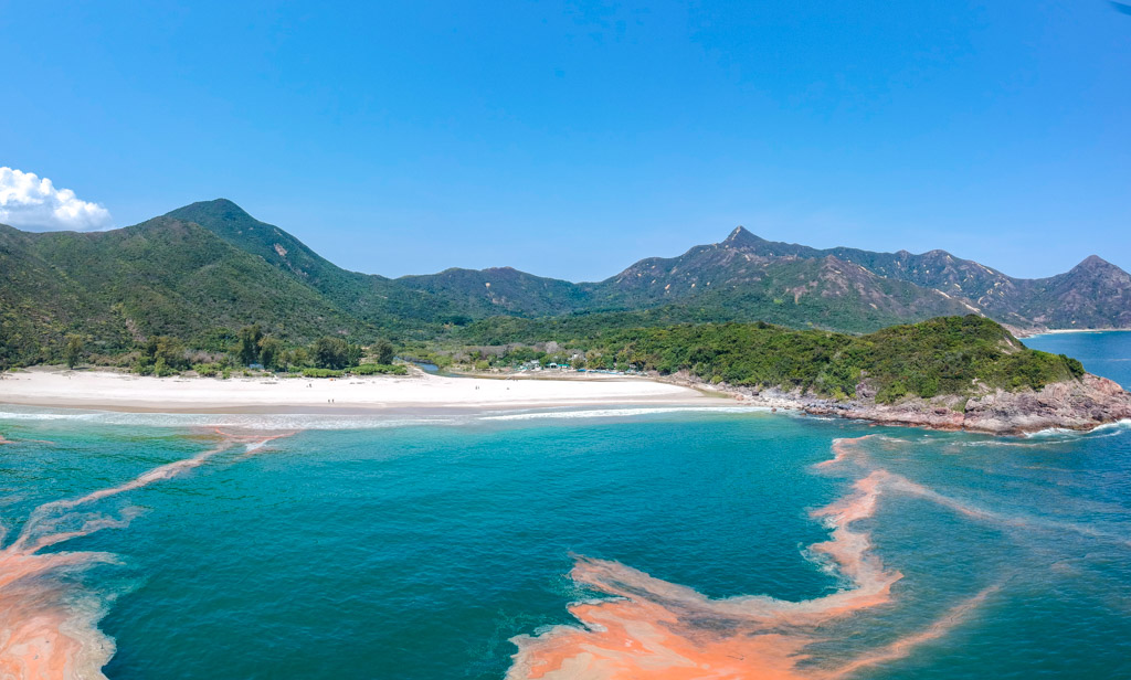
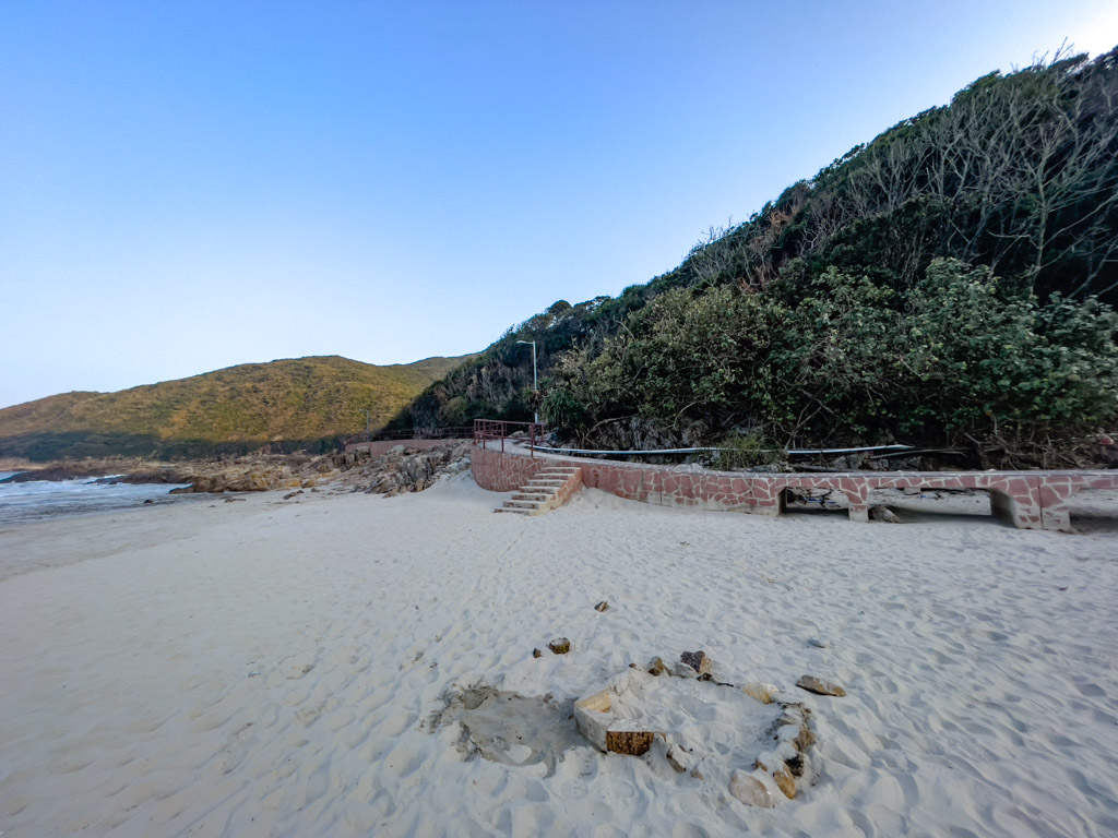
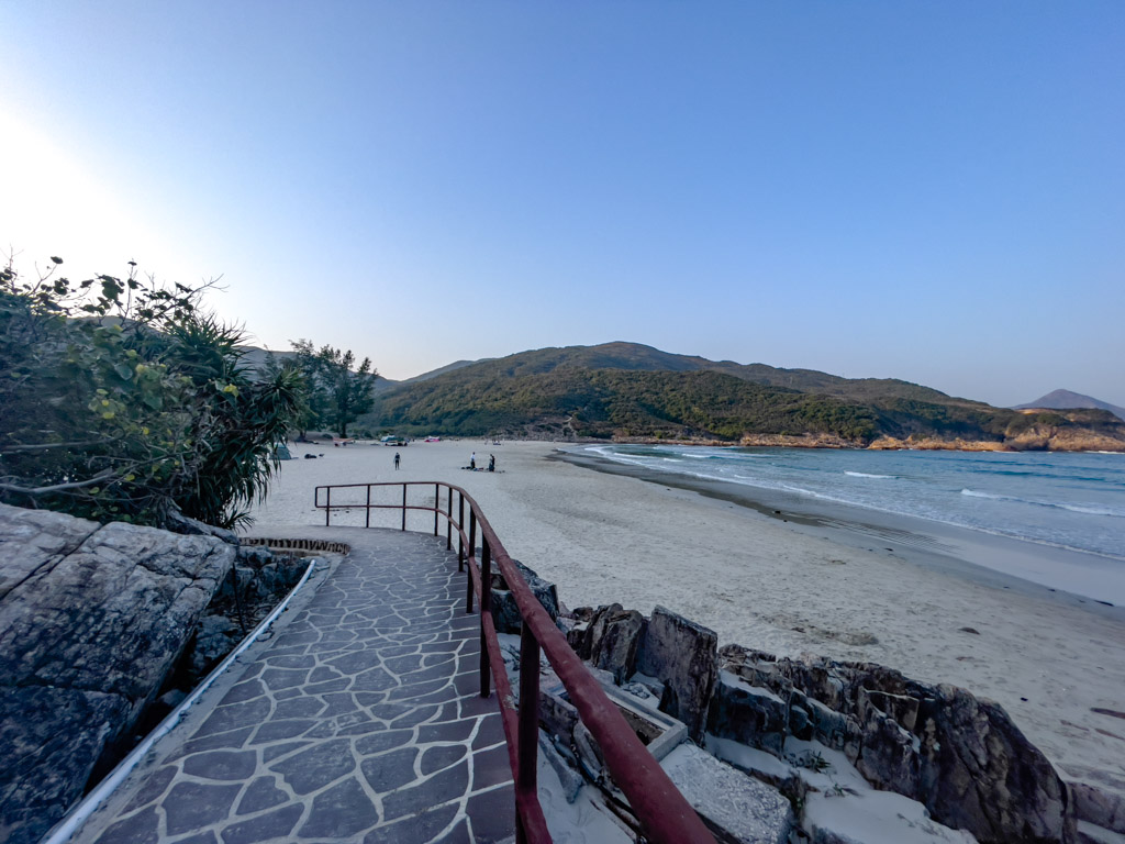
Sai Wan Beach
The official MacLehose Trail 2 loops up to the end of the estuary where you can hike up to the Four Consecutive Pools and Falls before going back down to the beach.
But if the water flow from the river is low, you can probably cross it directly without the extra trek in.
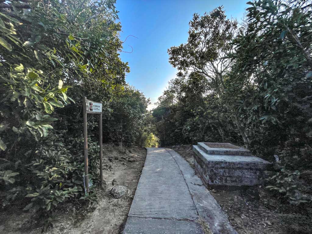
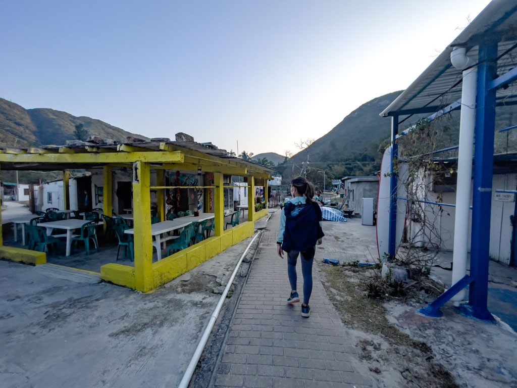
The Sai Wan Village has a few cafes and restaurants if you want to stop and get some food. There is also a public bathroom that’s a bit cleaner than others near the restored church inside the village.
Sai Wan Pavilion
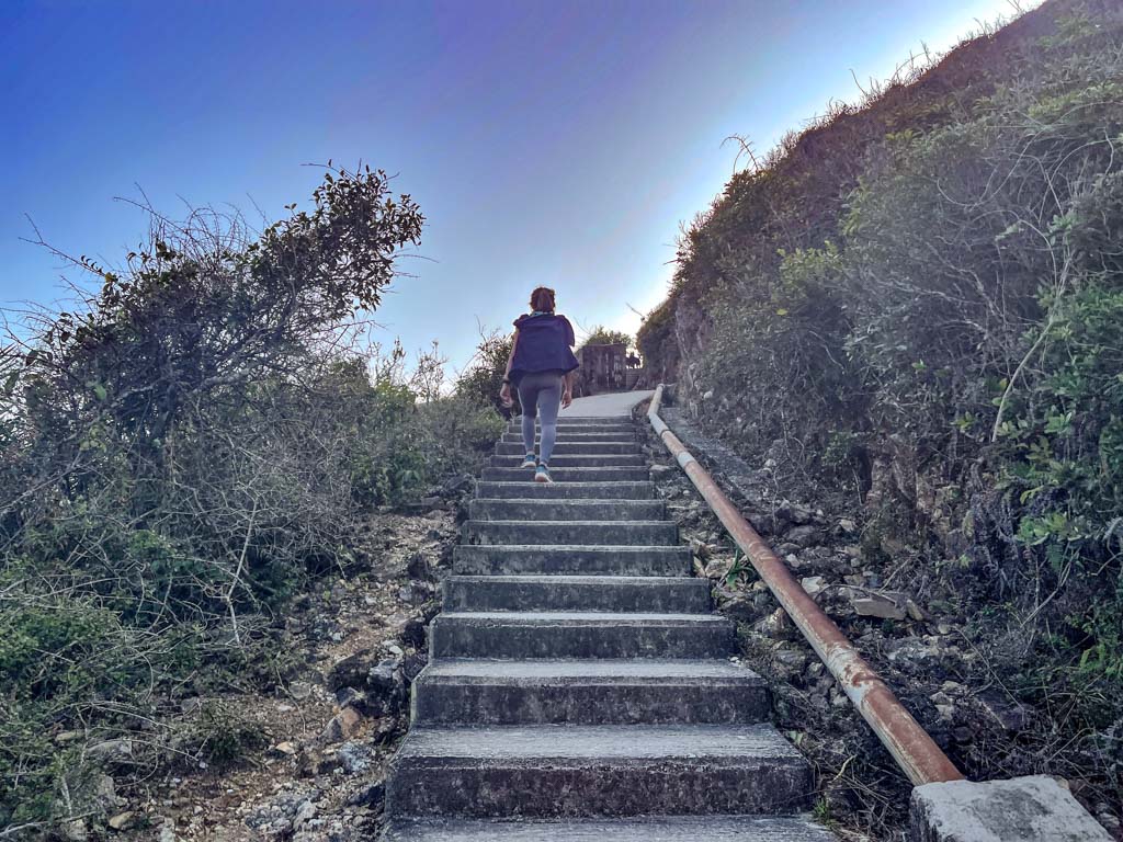
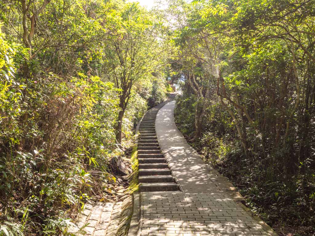
The rest of the hike goes up from behind the village, through the farms, and along the river until it becomes a steep ascent. There is a slope and also some stairs to the side, more pedestrian and trolley friendly than Chek Keng.
view from the other side
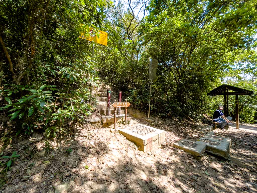
The steepest part of the hike ends at the junction to Sai Wan Shan, which also leads to Kam Kui Shek Teng.
It generally takes around 45 minutes to hike out from Sai Wan Beach to Sai Wan Pavilion if you want to time yourself for the minibus out.
Nam Cheah
Hi, my name is Nam. I am 24 and spent half my life in Hong Kong and the other half in UK. I believe there's endless experience and beauty in the world and this is me chronicling how to experience the best at the best price.