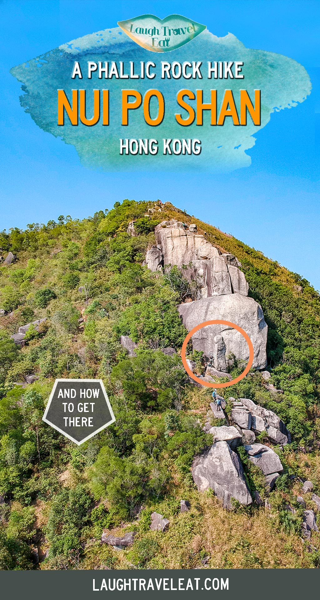
Nui Po Shan is one of the many hills between Shatin and Sai Kung, however, it stands out as the mountain of the Penis Rock Hong Kong. Known in Chinese as Joeng Jyun Sek, which is a nicer way of saying Penis Rock aka Phallic Rock.
It’s not far from the buffalo hills and an easier hike in terms of the steepness. However, the trail is quite slippery and good hiking shoes are a must. Without further ado, here’s a guide to Nui Po Shan hike:
Nui Po Shan hike summary
Time taken: 3-4 hours
Difficulty: 3/5, path is easy to follow but overgrown with a particularly steep section
Pros: interesting rock that’s shaped like a penis, not overly crowded, and easy to get to public transport on both ends
Cons: a little difficult to locate trail start and a long walk, and quite slippery
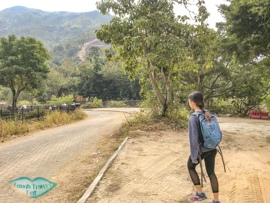
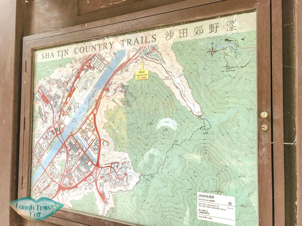
We started from Tai Shui Hang MTR station, taking the exit towards A Kung Kok Road and head straight along the highway until you reach the river. To the left is a small garden – the Ah Kung Kok Street Garden, where there is a smaller bridge. Cross the river there then turn left, and you’ll find a hiking map.
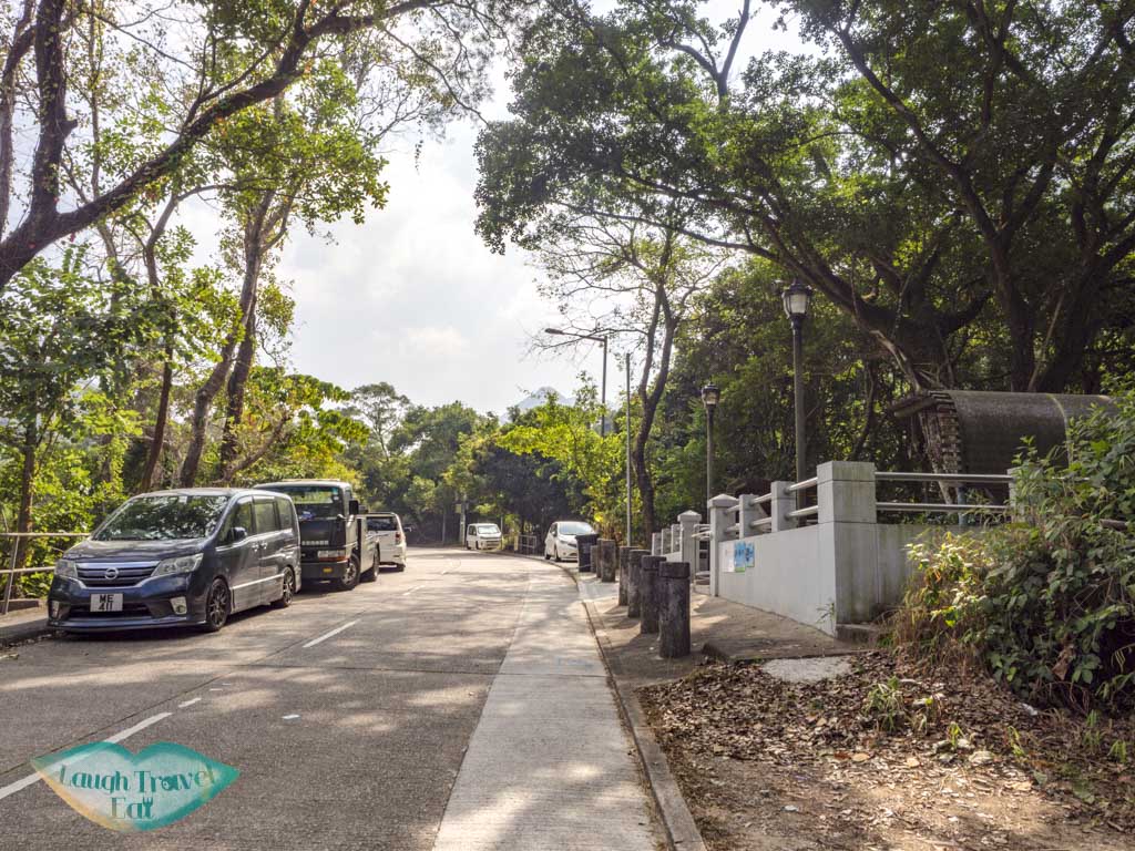
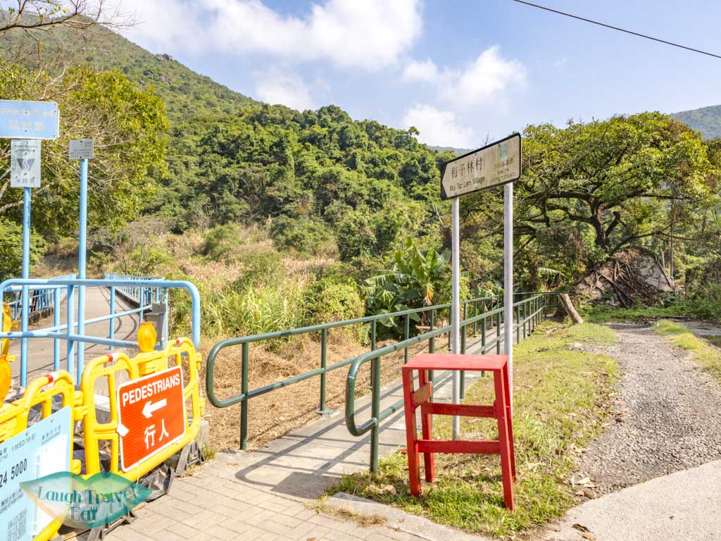
This is the Mui Tsz Lam Road, just follows it to the end. It’s a longish walk on the main road that has a gentle slope up.
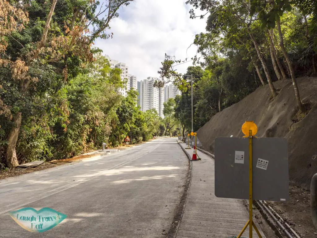
At the end, you’ll find another information post with a map. Take the small path with the dark green railing with a sign that points to Mui Tsz Lam Village to the village.
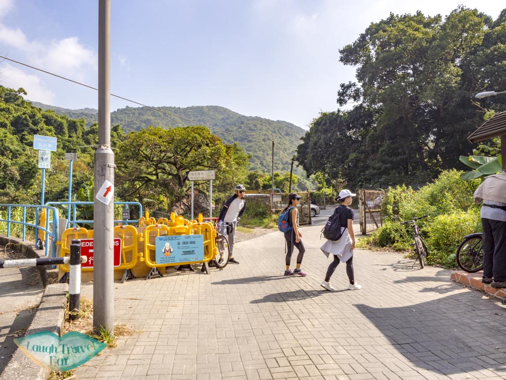
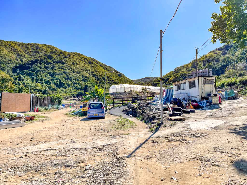
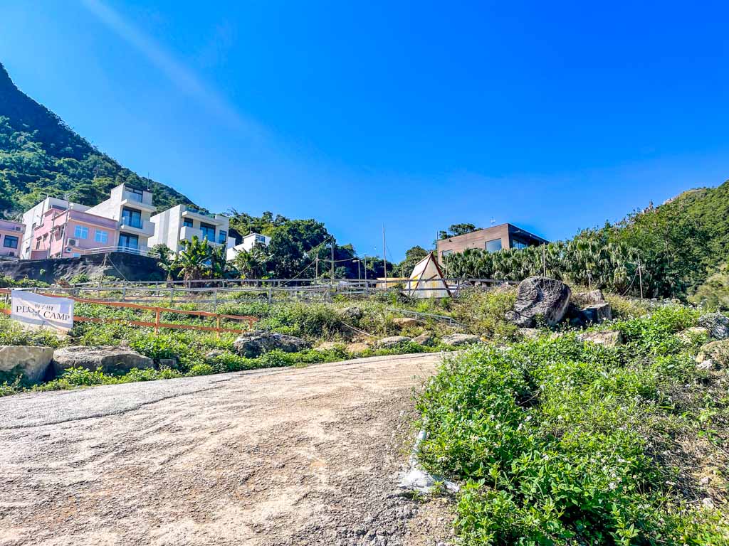
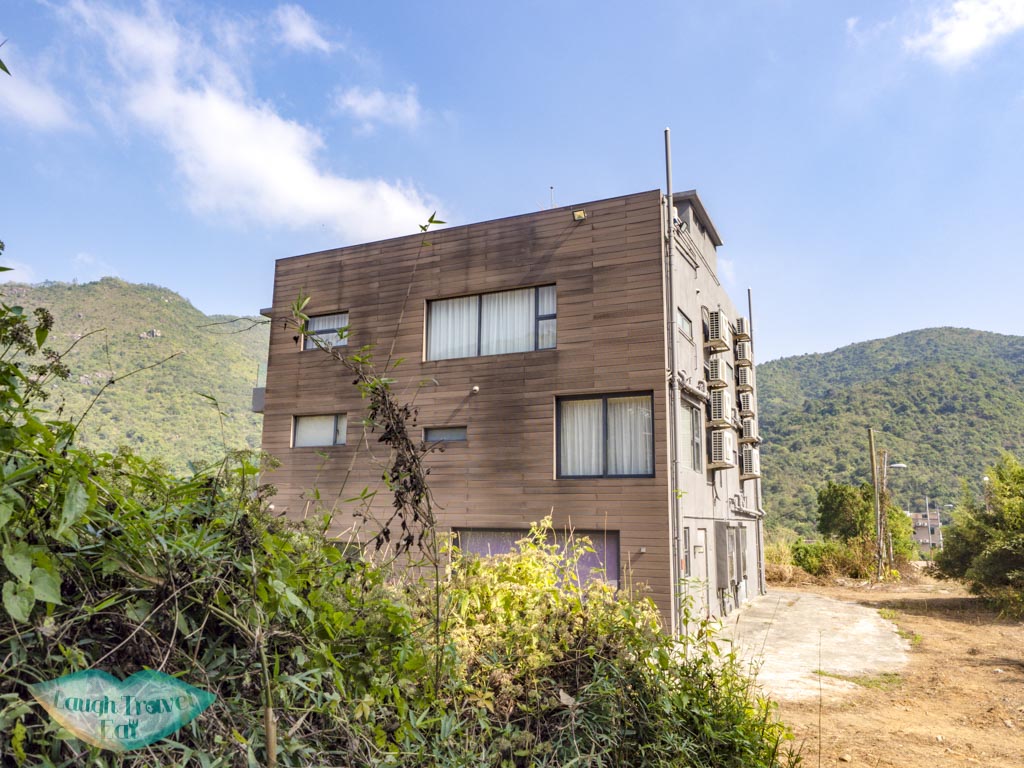
You don’t need to take the side trails, just go into the village and veers to the right once you see the Plum Campground. Look for the wooden house.
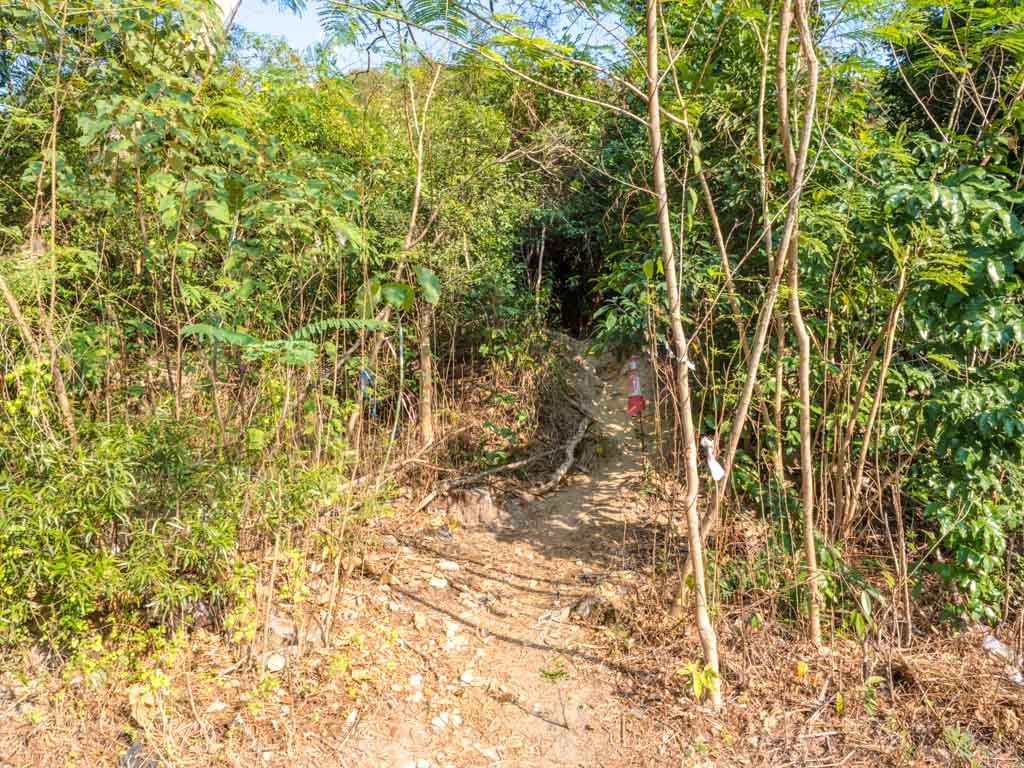
The trail that goes up officially starts here! To the right of it, more specifically.
Hiking up to the Penis Rock
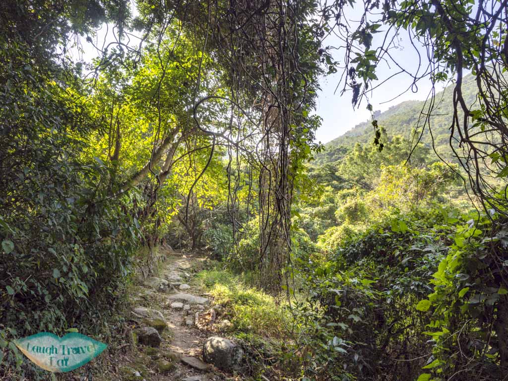
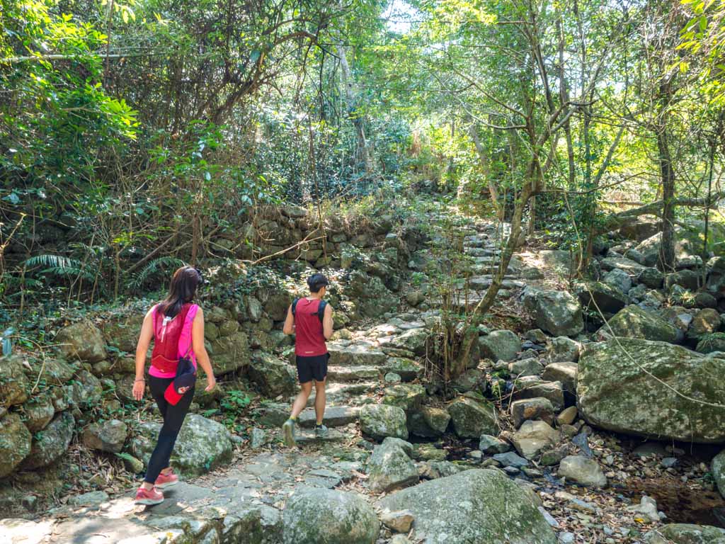
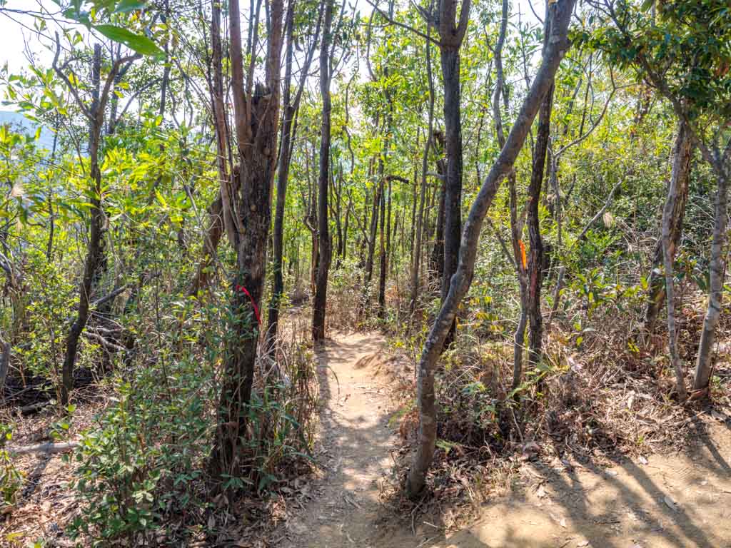
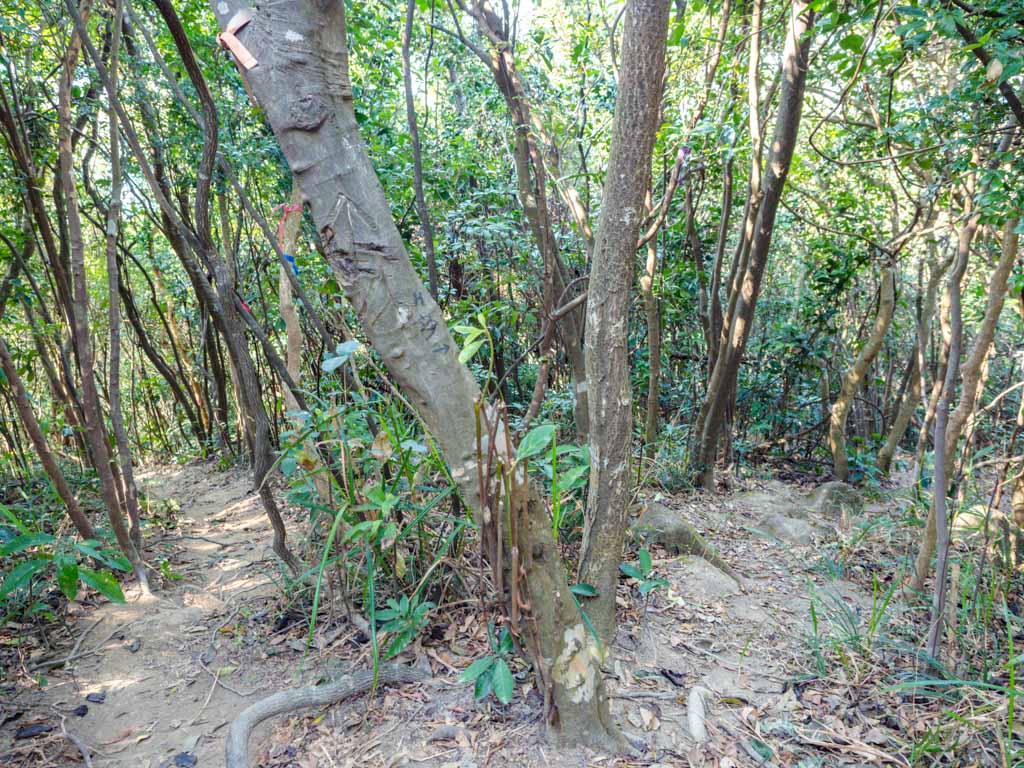
The trail is very straightforward from this point on, with stone stairs and a small creek. The first part of the trail is shaded, but we can already see the giant rock outcrop even in the village.
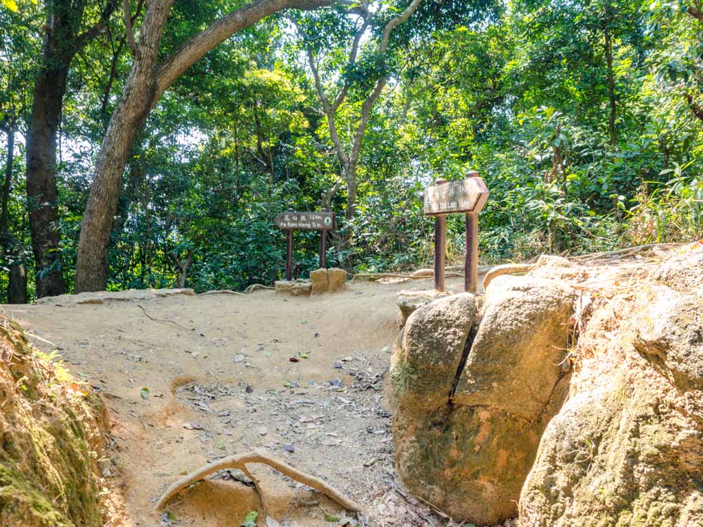
Nui Po Au
This is Nui Po Au
The well-paved trail leads to Nui Po Au, a crossroad where you can also go up to Shek Nga Shan or Fa Sam Hang.
To Go to Nui Po Shan, take the smallest trail that goes up hill to the right.
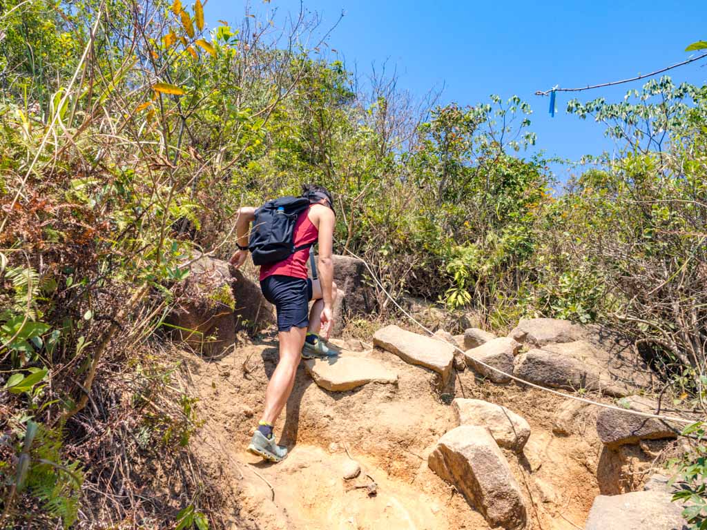
It’s quite slippery
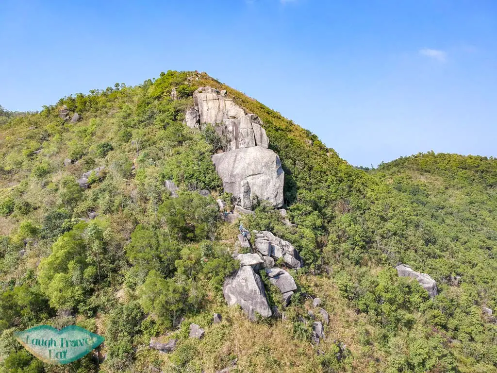
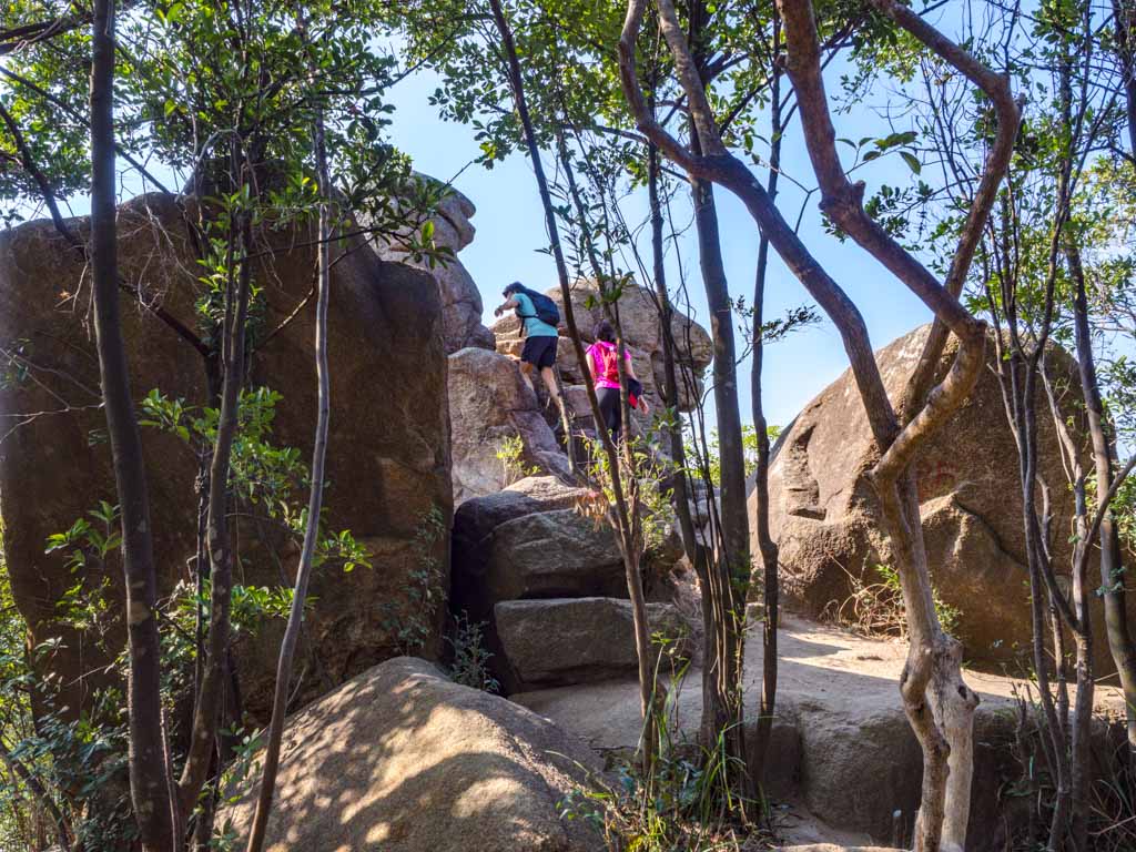
The ascent becomes steeper as we get to the rock outcrop and eventually got us to the Penis Rock.
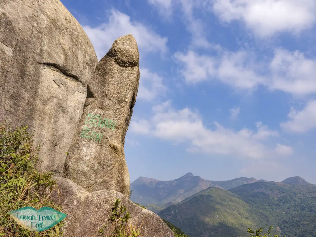
The Penis Rock
This is a good photo point but is only at the base of the rock outcrop. The hike up is still pretty steep but the view is rewarding.
point,
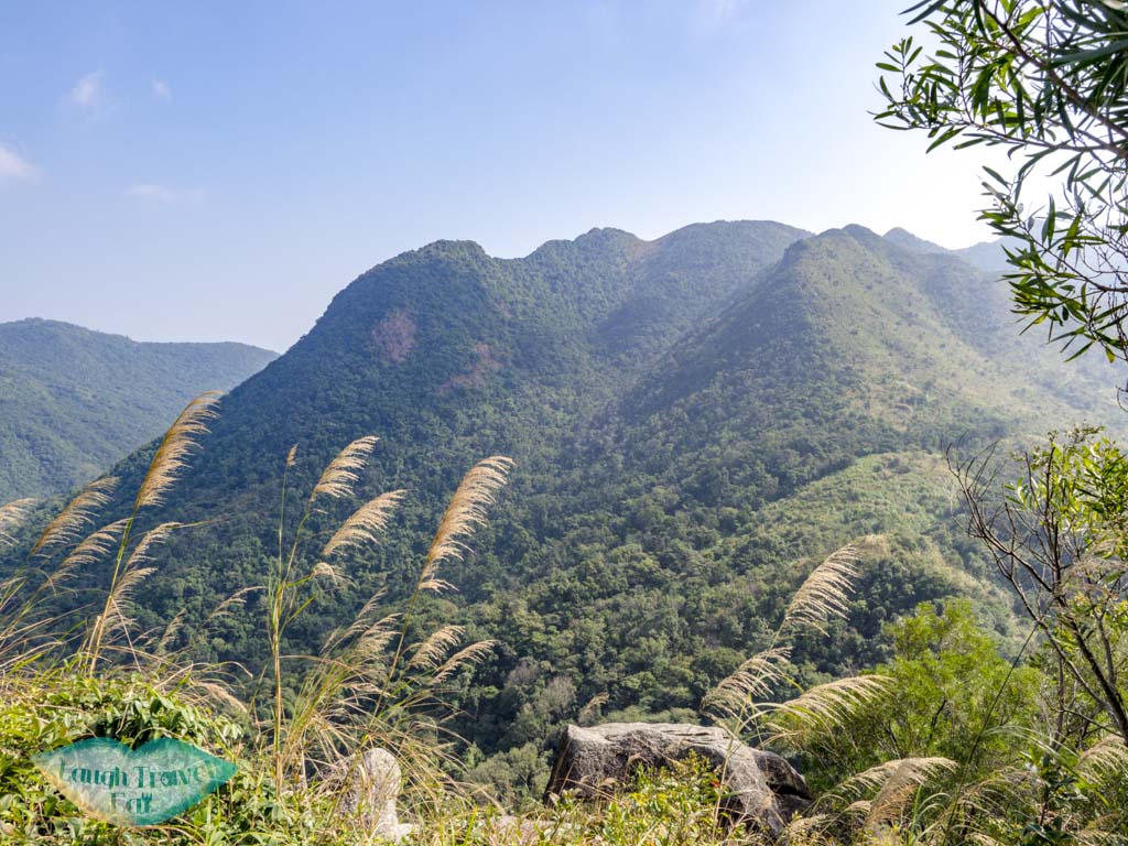
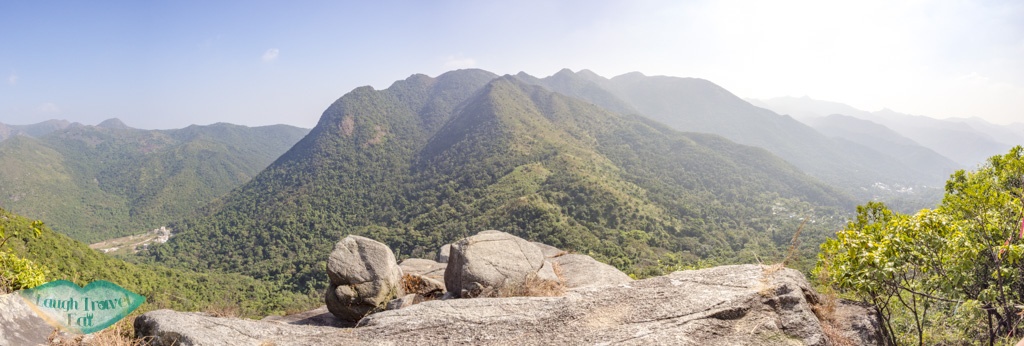
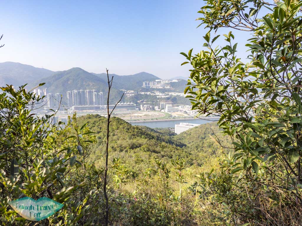
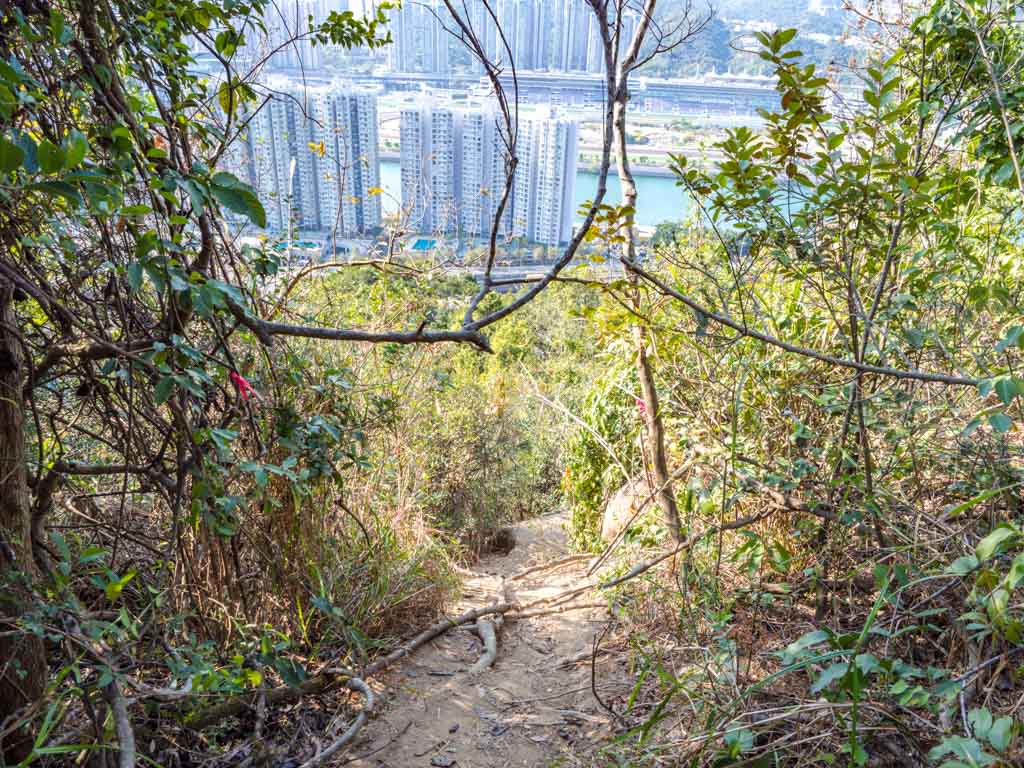
You can Ma On Shan and the Buffalo Hills from here, with Shatin on the far end.
Continue up and don’t forget to stop at the top for a panoramic view.
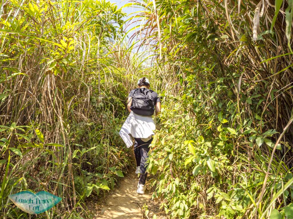
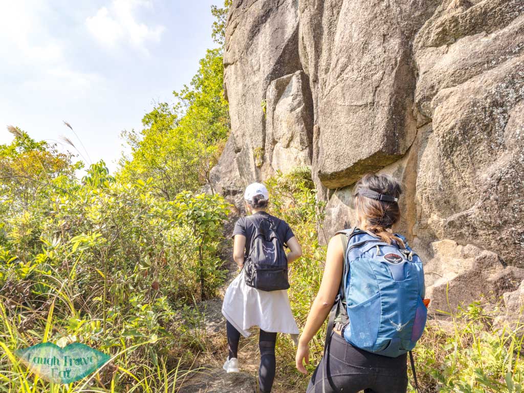
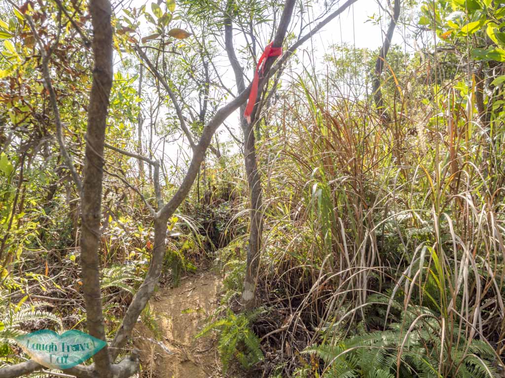
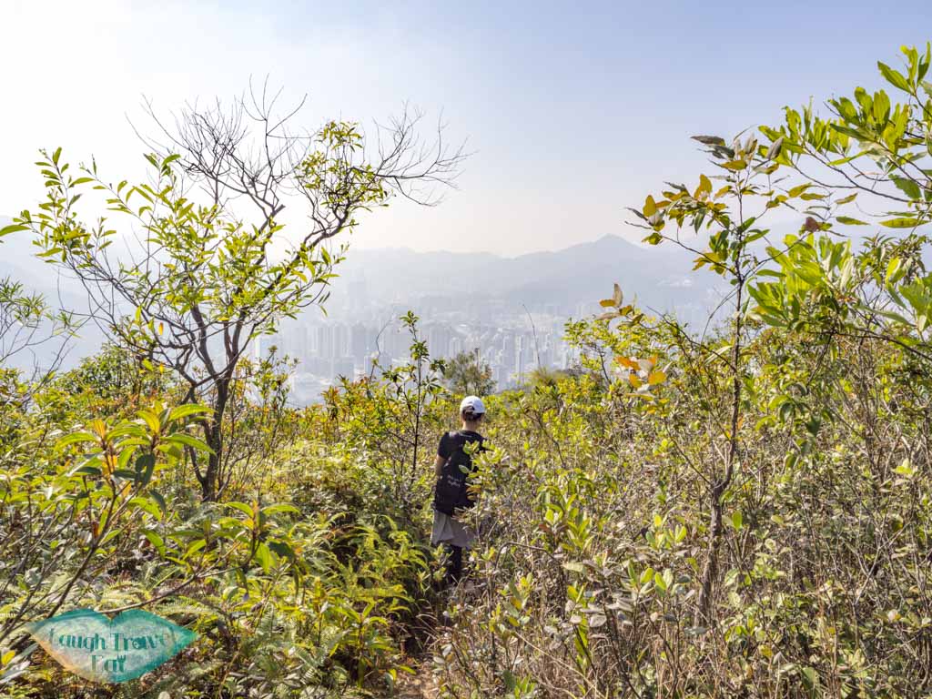
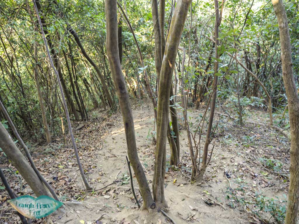
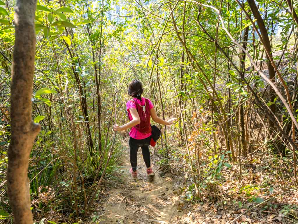
The trail that points towards Shatin and becomes increasingly vegetated. But it’s still easy to follow the trail especially with the help of ribbons marketing the way.
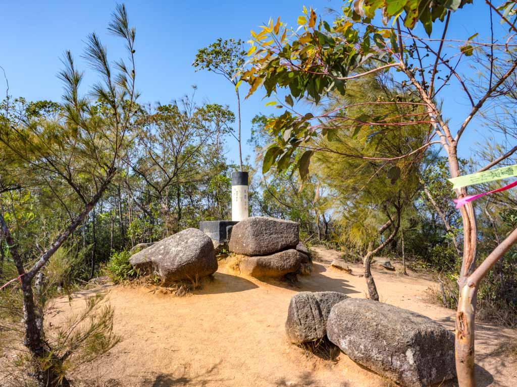
Nui Po Shan (399m)
Turn right for Nui Po Shan, carry on for the rest of the hike
The trail actually doesn’t go past the Nui Po Shan peak. If you do want to go, it’s worth having an offline map and tracking your location. From a small junction, go right and you’ll find it. You have to turn back and carry on to get down towards the Three Brothers Rock and Shek Mun.
Nui Po Shan to Three Brothers Rock
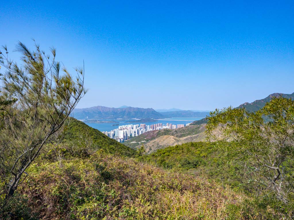
Go back to the junction and carry on. It’s still a bit of a hike and do look out for this viewpoint that looks towards Shatin:
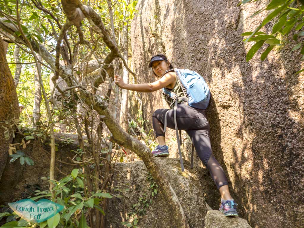
Follow the ribbons along the path and it’ll lead you to a road by the Shatin Hospital. Be careful of this particularly steep part.
Three Brothers Rock
The Three Brothers Rock is almost at the end of the hike much lower than you’d expect. To get there, you need to take a left junction in the woods.
Go Left
It’s very vaguely marked by red writings (in Chinese) on a tree. So again, it’s worth having a n offline GPS Map (and I use OSMAnd – it’s free).
There are a few huge boulders along the way but don’t confuse them for the Three Brothers Rock:
You can get a pretty good view of the nearby area on top since it’s above the treeline!
Once you’re down, it’s a very short hike to the end of the trail.
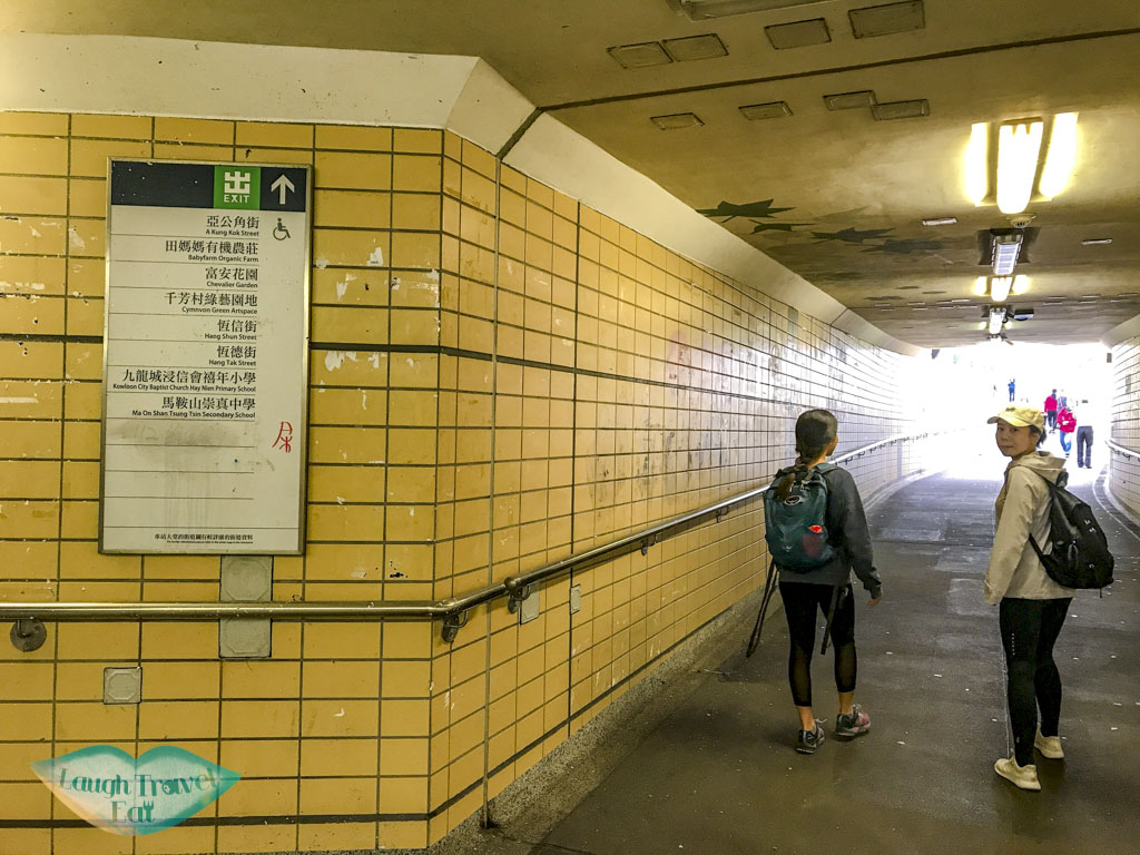
It leads to a pedestrian tunnel and bridge that leads to Garden Vista. Just turn away from the housing estates once you’re down and follow the road sign to Shek Mun MTR. There are plenty of restaurants there, too!
2 thoughts on “Nui Po Shan: finding the phallic rock hike in Hong Kong”
Dana
Reading this & mr penis rock definitely added light to the whole n-CoV situation happening in HK! Hope you’re safe and well. Just wondering, do you still get to go about your daily activities?
A lot of people are still hiking since it’s countryside and away from the masses. Though ironically sometimes you encounter way too many people!
For the most part, people are working from home and avoiding going out too much. Although for a lot of people it is business as usual but with masks on and frequent hand washing. I just posted about the coronavirus too and how it is in HK if you want to learn more 🙂