Asia, Hike and Nature, Hong Kong
Pat Sin Leng hike: conquering the 8 immortals peak
Feb
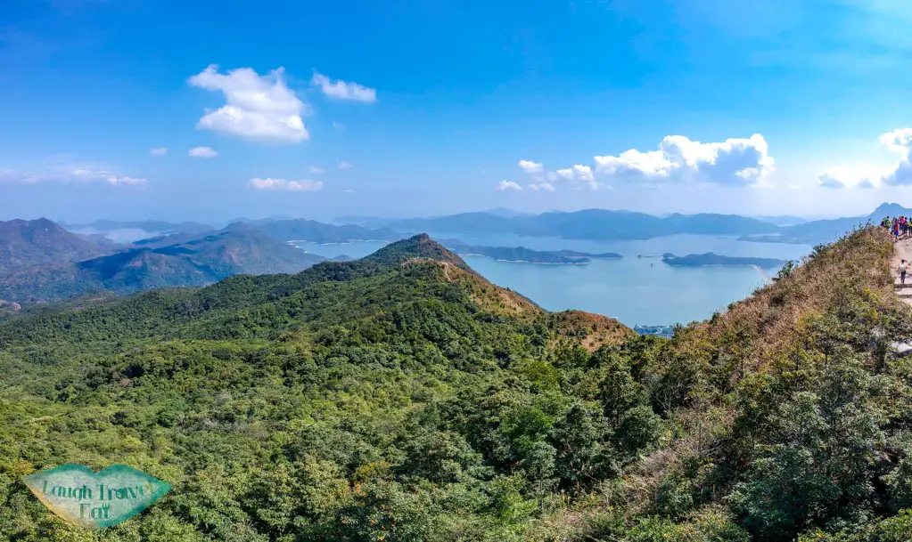
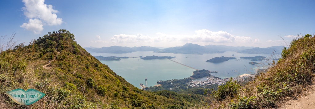
Pat Sin Leng hike involves hiking the eight peaks by Tai Mei Tuk at the side of Plover Cove Reservoir which is named after the eight immortals from Taoism. Also called the 8 immortals hike, the peaks are sandwiched between the Sin Kwu Fung at 511m and Shun Yeung Fung at 591m, it is an up and down journey with rewarding views. From the nearby Plover Cove Reservoir and Ma On Shan to the valley of northern New Territories to Shenzhen, it’s an unrivalled 360 degree view even as you go up and down the eight peaks.
Summary of Pat Sin Leng hike:
Note – this is the easier option of going up to the last peak – Shun Yeung Fung – then going back the same way.
Time taken: 4 hours
Difficulty: 3.5/5
Pro: beautiful and panoramic view of the region and the bragging right of hiking the eight peaks
Con: while it’s not as difficult, the hike up to Sin Kwu Fung involves a lot of stairs and is the toughest part. Rather exposed.
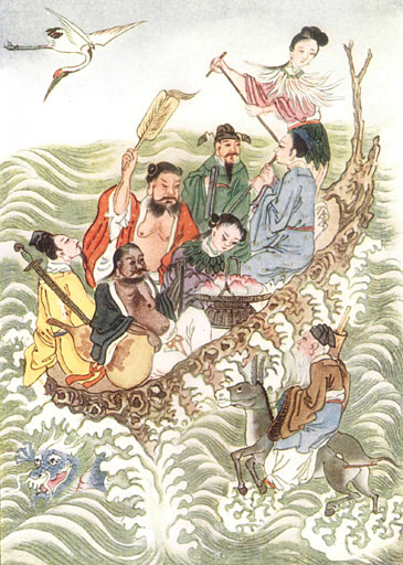
Pat Sin Leng – who are the eight immortals?
Werner, E. T. C. (1922年) Myths & Legends of China, Category:New York: George G. Harrap & Co. Ltd.
(Project Gutenberg eText 15250)
The eight peaks of the Pat Sin Leng – which means the mountain of the eight immortals – are each named after each deity in the group. The Eight Immortals in the Taoist religion represent eight types of people: men, women, old, young, rich, poor, aristocrats, and peasants. Each of them comes from a different time period, and it featured a rotating cast until the Ming Dynasty. They are:
何仙姑 (Sin Kwu Fung) – represents women, she is believed to have ascent as a deity on a chance encounter with another who gave her a fruit that made her a deity.
韓湘子 (Sheung Tsz Fung) – represents young, a nephew of the Tang Dynasty poet. Legend has it that he died when he fell off a tree trying to pick a peach, then ascended.
藍采和 (Choi Wo Fung) – represents poor, and he was a beggar in the Tang Dynasty who often carried a flower basket.
曹國舅 (Tsao Kau Fung) – represents aristocrat, he was the younger brother of the empress in Song Dynasty.
鐵拐李 (Kuai Li Fung) – represents peasant, he was the student of Daode Tianzun whose body was burned accidentally and he returned via the body of a beggar who died of hunger. The beggar had a bum leg and hence the name.
張果老 (Kao Lao Fung) – represents old, he often rides on a mule and is known as the crippled one.
鍾離權 (Chung Li Fung) – represents rich, his father was a general and he became a deity after studying tao in isolation after a lost battle.
呂洞賓 (Shun Yeung Fung) – represents men, he was an official in the government until he got tired of the life. He ascended after meeting and being taught by Chung Li.
How to get to Pat Sin Leng trail start
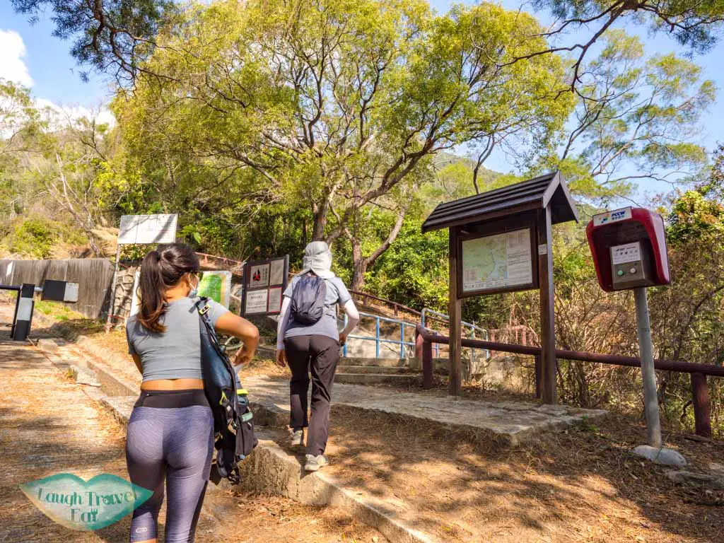
The best start is from Tai Mei Tuk, and it is the fastest to go back down this way as well!
Bus: from Tai Po Market, you can get the bus 75k which ends at Tai Mei Tuk. It is a slower bus, so if you are heading there on the Sunday/public holiday, there’s also 275R that goes to Wu Gau Tong and stops by Tai Mei Tuk as well.
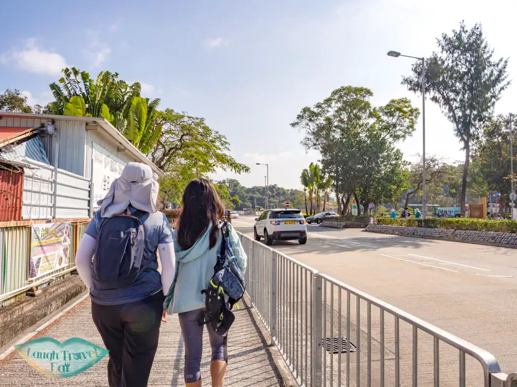
You can get off just one stop before the terminus and continue down the road where the bus is heading.
You’ll then pass a little pond and go uphill on a narrower pavement/drain.
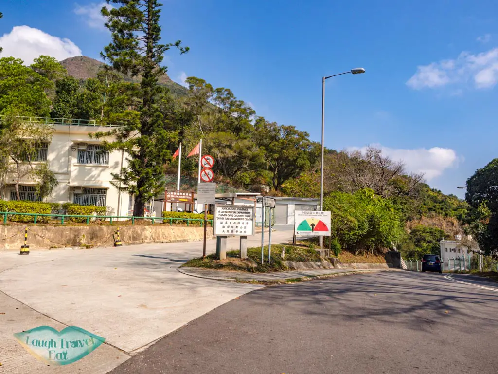
Carry on until you reach the Pak Sin Leng Country Trail sign. There is a bathroom to the left before the bend if you need it.
Pat Sin Leng Nature Trail
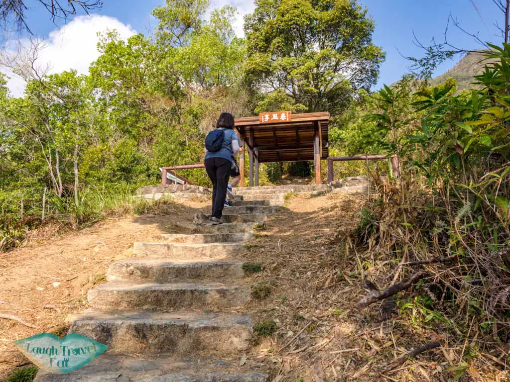
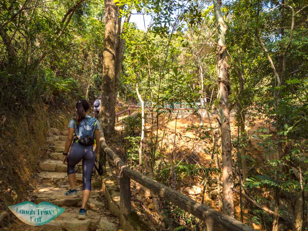
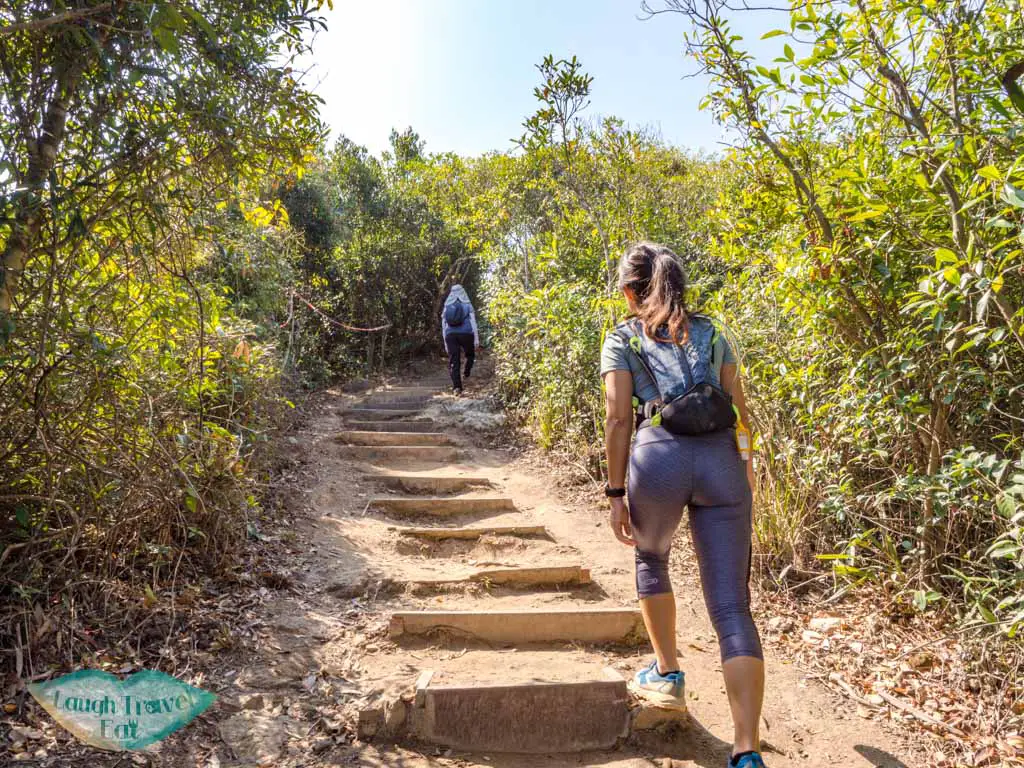
Follow the Pat Sin Leng Country Trail sign and it’ll take you to a cute trail start with lovely wide stairs and red railing. It’s a short walk to the Spring Wind Pavilion, where you can see the sparkling blue water of the Plover Cove (note: not the reservoir, that’s on the other side, this is sea water).
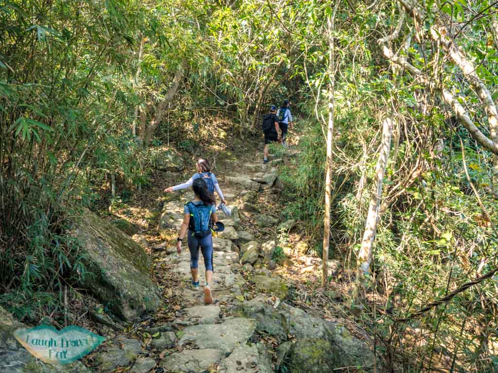
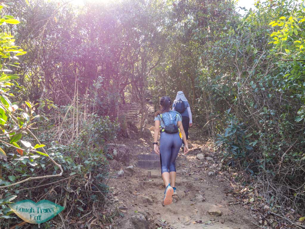
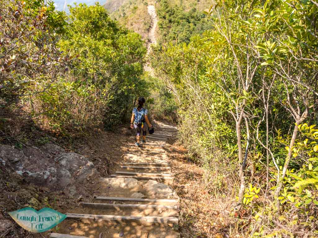
The stairs then give way to a mix of uphill dirt trail with rocks and stone steps, and there are several educational signs spaced out along the way to provide some floral and fauna info.

This is by far the longest part with the trail being quite monotonous and same-same, although once you get a little higher, you can glimpse the Plover Cove Reservoir from a break in the trees from time to time.
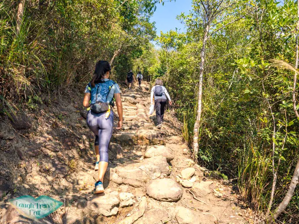
Once the trail starts to get steeper on stone stairs, you are getting near the junction to go up to Pat Sin Leng!
Up to Pat Sin Leng – Wilson Trail Section 10
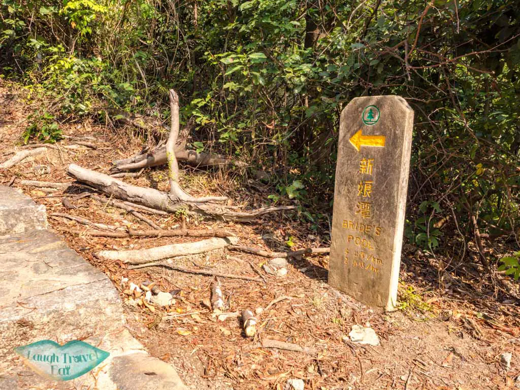
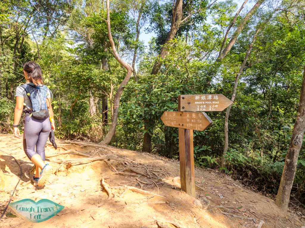
The junction is well sign-posted, with the Pat Sin Leng Country Trail carrying on to Bride’s Pool.
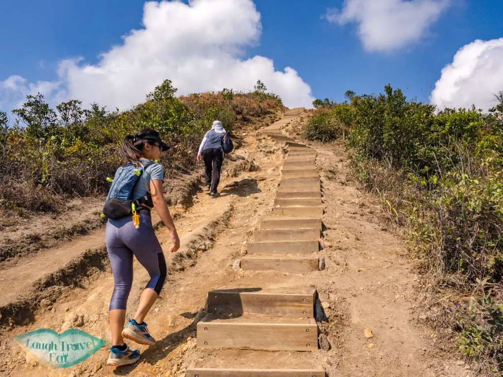
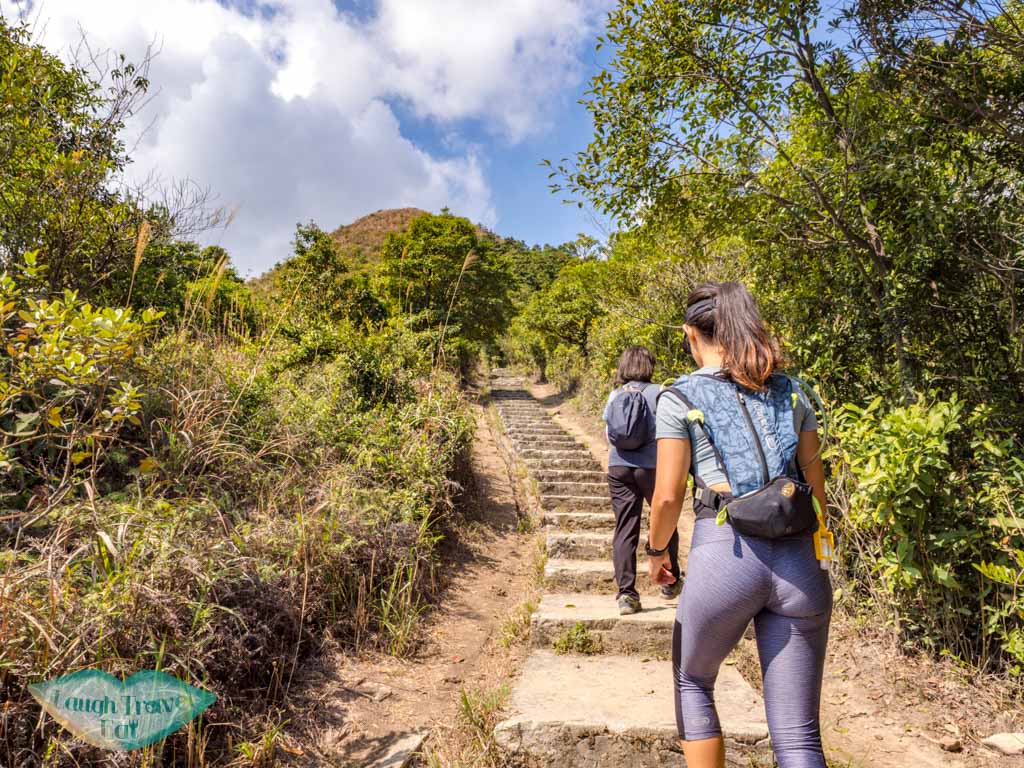
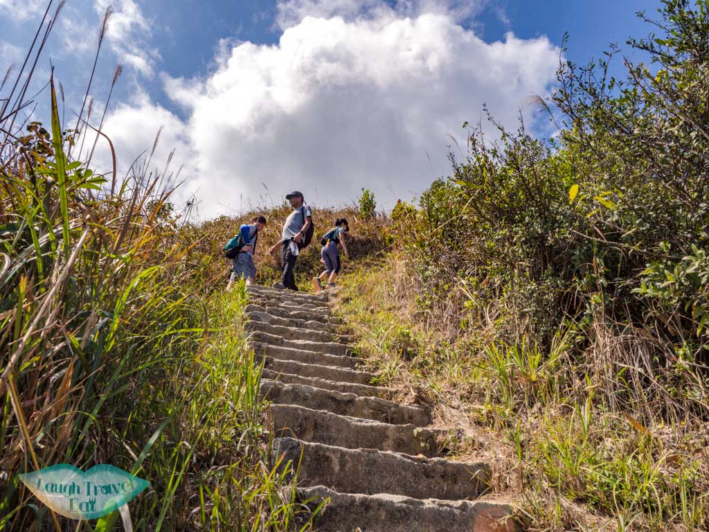
The flight of stairs up is pretty endless and steep, so make sure to give yourself a break.
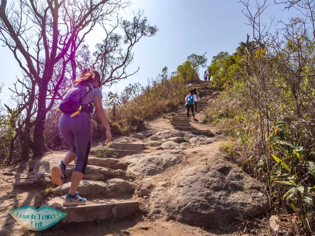
In the middle of the trek up, the trail becomes gentler in slope but the last bit up is out of the shade and can get quite hot under the sun.
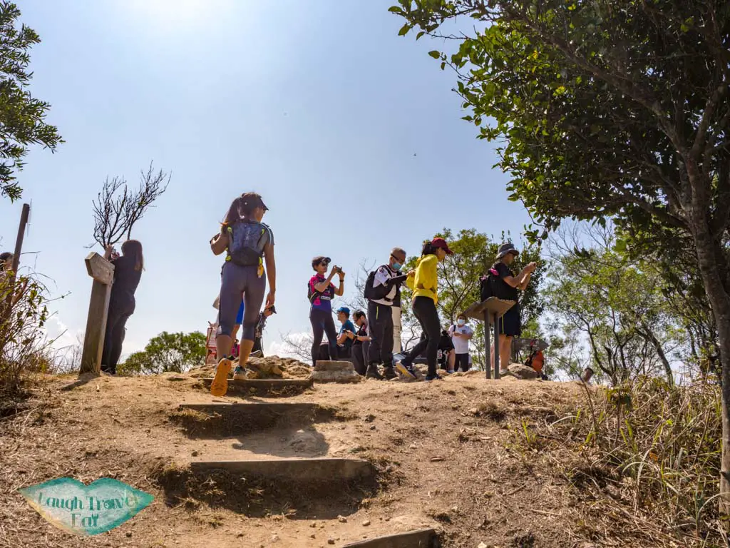
Sin Kwu Fung 仙姑峰 511m
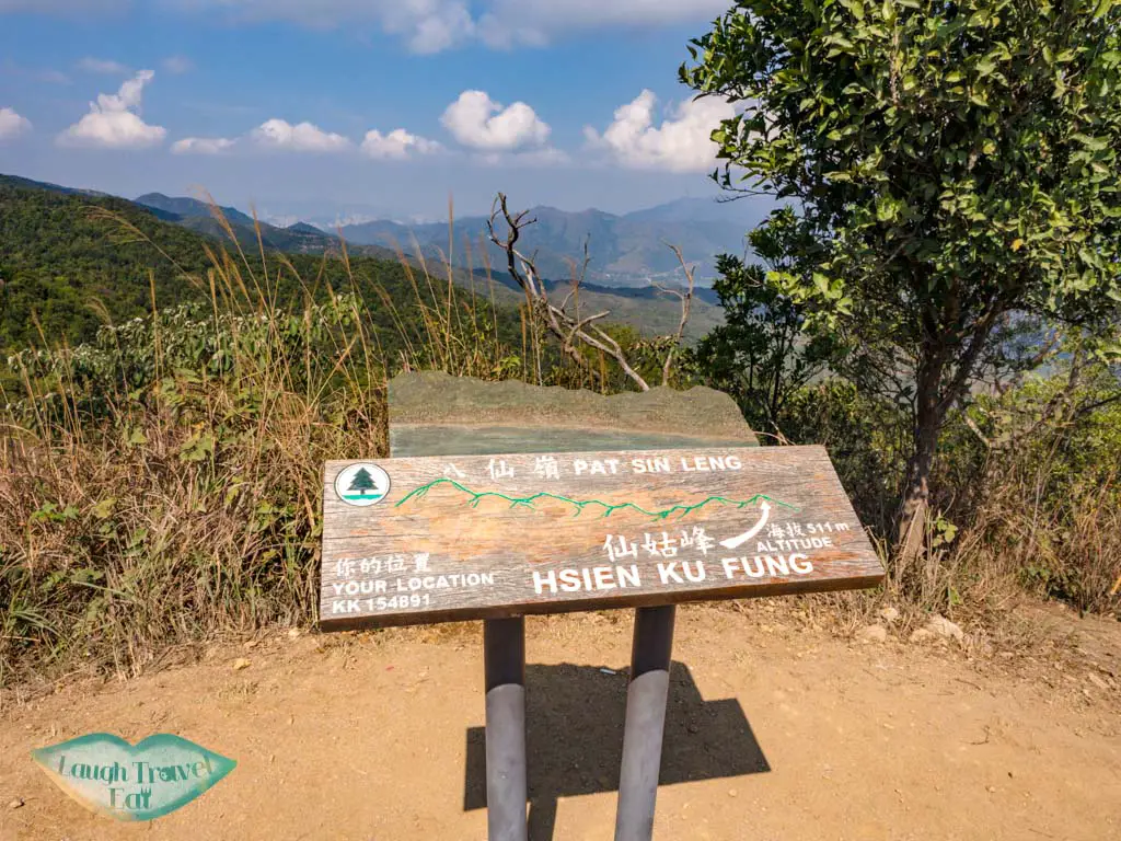
The hike goes straight up to Sin Kwu Fung, which stands at 511m.
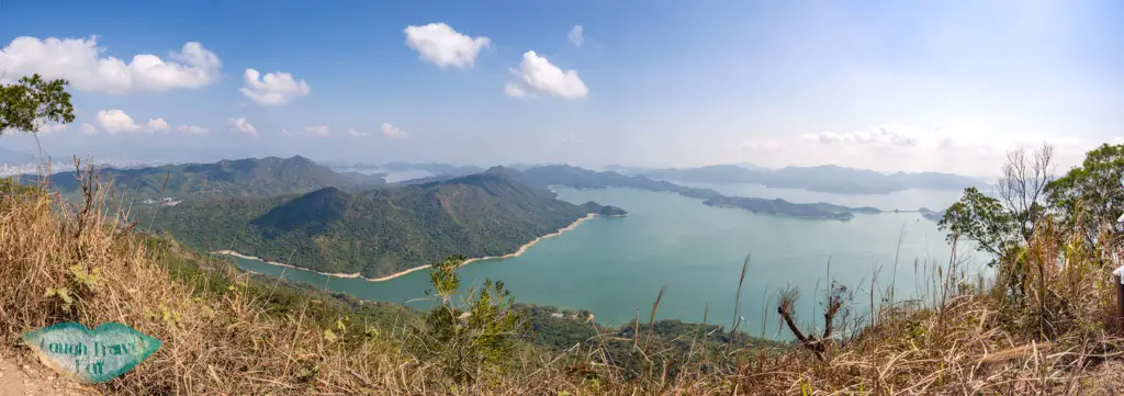
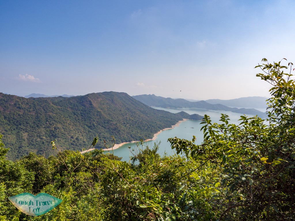
It has a rather close up view of the Plover Cove Reservoir to the left and the rest of the Pat Sin Leng to the right.
Admittedly, the idea of hiking all eight peaks sounds daunting, but it actually doesn’t seem as hard once you’re there.
Sheung Tsz Fung 湘子峰 498m
It’s not a long hike from Sin Kwu Fung to Sheung Tsz Fung, and the elevation up and down is not a lot.
You can get a great view of the entire Plover Cove Reservoir and the cove itself. The wooden stairs then take you up to the top of Choi Wo Fung.
Choi Wo Fung 采和峰 480m
Choi Wo Fung is a little lower than Sheung Tsz Fung, and the view is partially obscured by the hedges, so we can only see the Plover Cove.
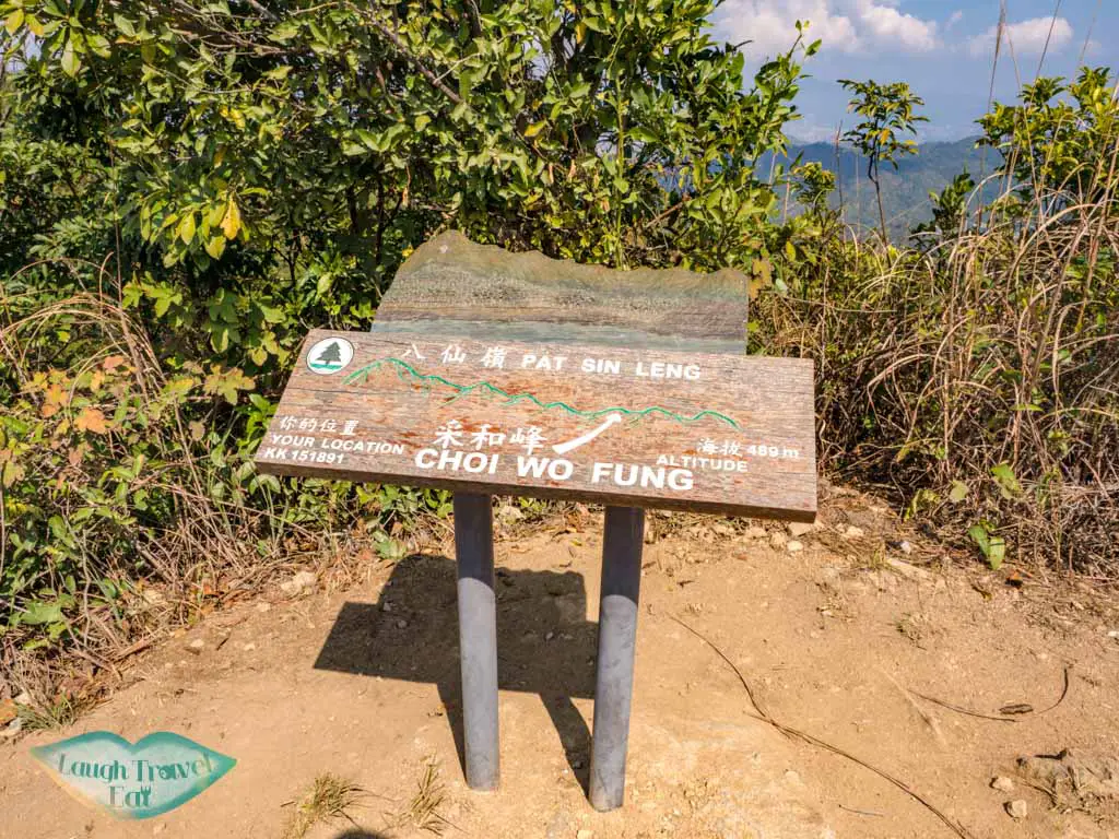
It was more like a midway point between Sheung Tsz Fung and Tsao Kau Fung, but it nicely breaks up the hike.
Tsao Kau Fung 曹舅峰 508m
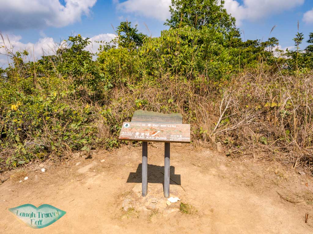
Tsao Kau Fung looks almost identical to Choi Wo Fung, except that it is surrounded by vegetation so there’s no view around it at all except for the trail to the next hike which again dips down and the goes up again.
Kuai Li Fung 拐李峰 517m
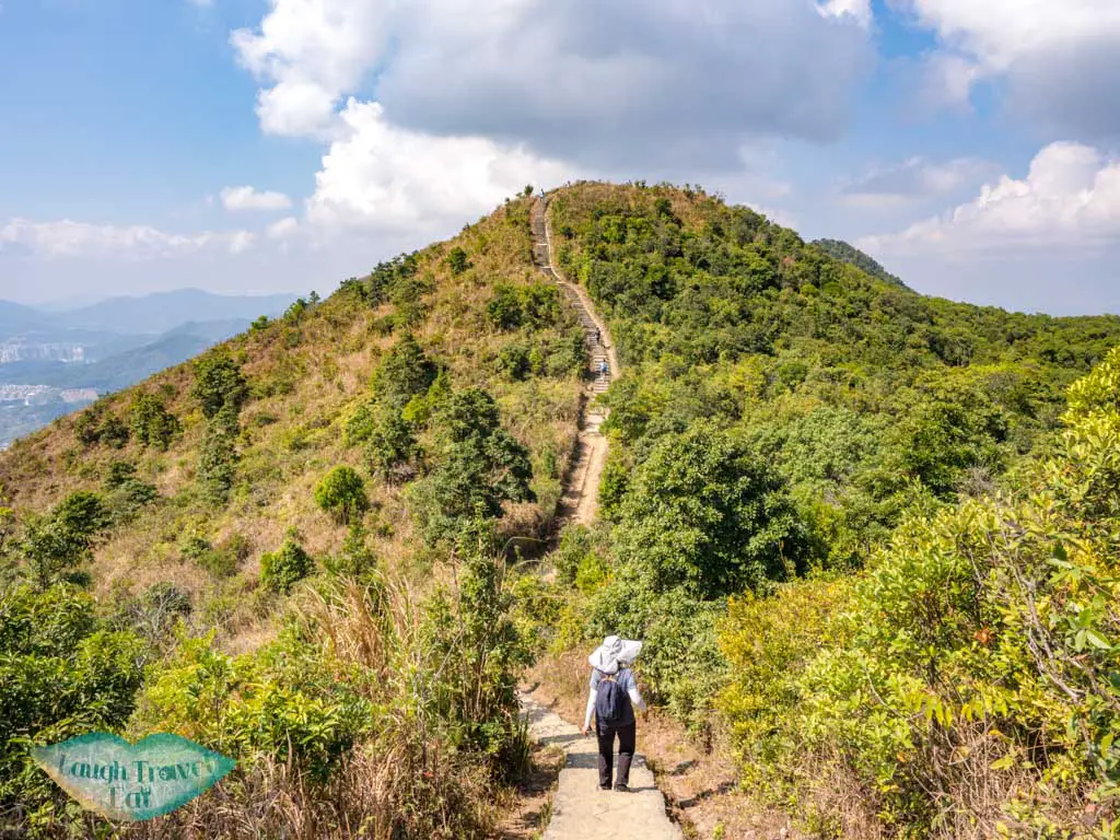
Once you get up to Kuai Li Fung, the view opens up again and you get to see the Plover Cove Reservoir and its surrounding mountains, all the way northwards towards Shenzhen.
The trail then loops to the left on a concrete pathway that leads to Kao Lao Fung.
Kao Lao Fung 果老峰 528m
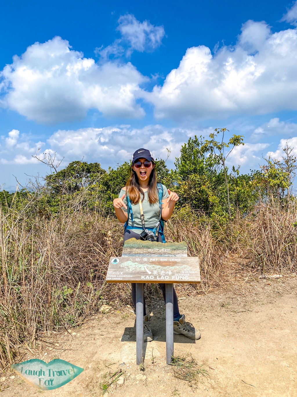
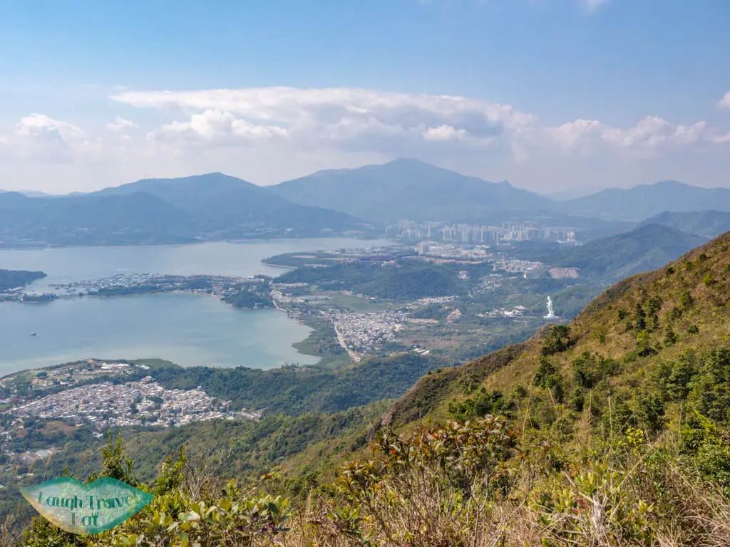
Similar to Choi Wo Fung, the Kao Lao Fung has a good view of the next peak and a closer look at the Plover Cove. It also has a good view of the Tai Po Lady Buddha Statue. Then you go down again.
Chung Li Fung 鍾離峰 540m
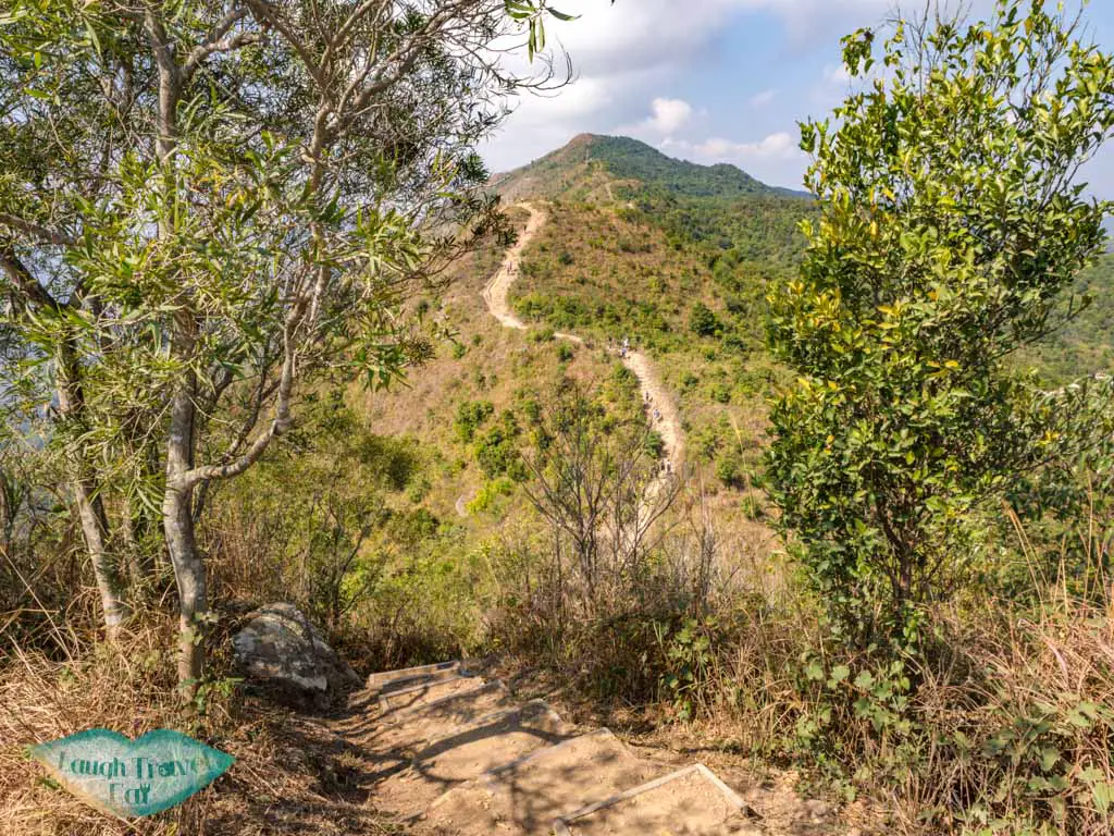
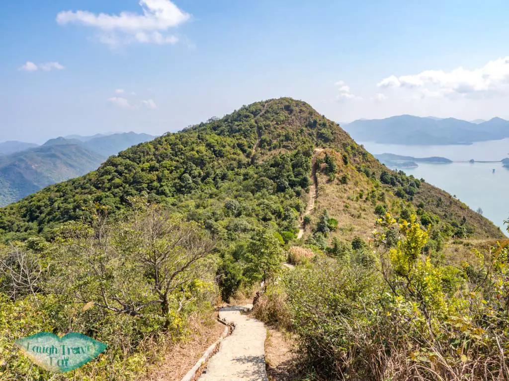
The Chung Li Fung is a bit anticlimactic, as it is not a pronounced peak at all and easy to miss on the way to Shun Yeung Fung.
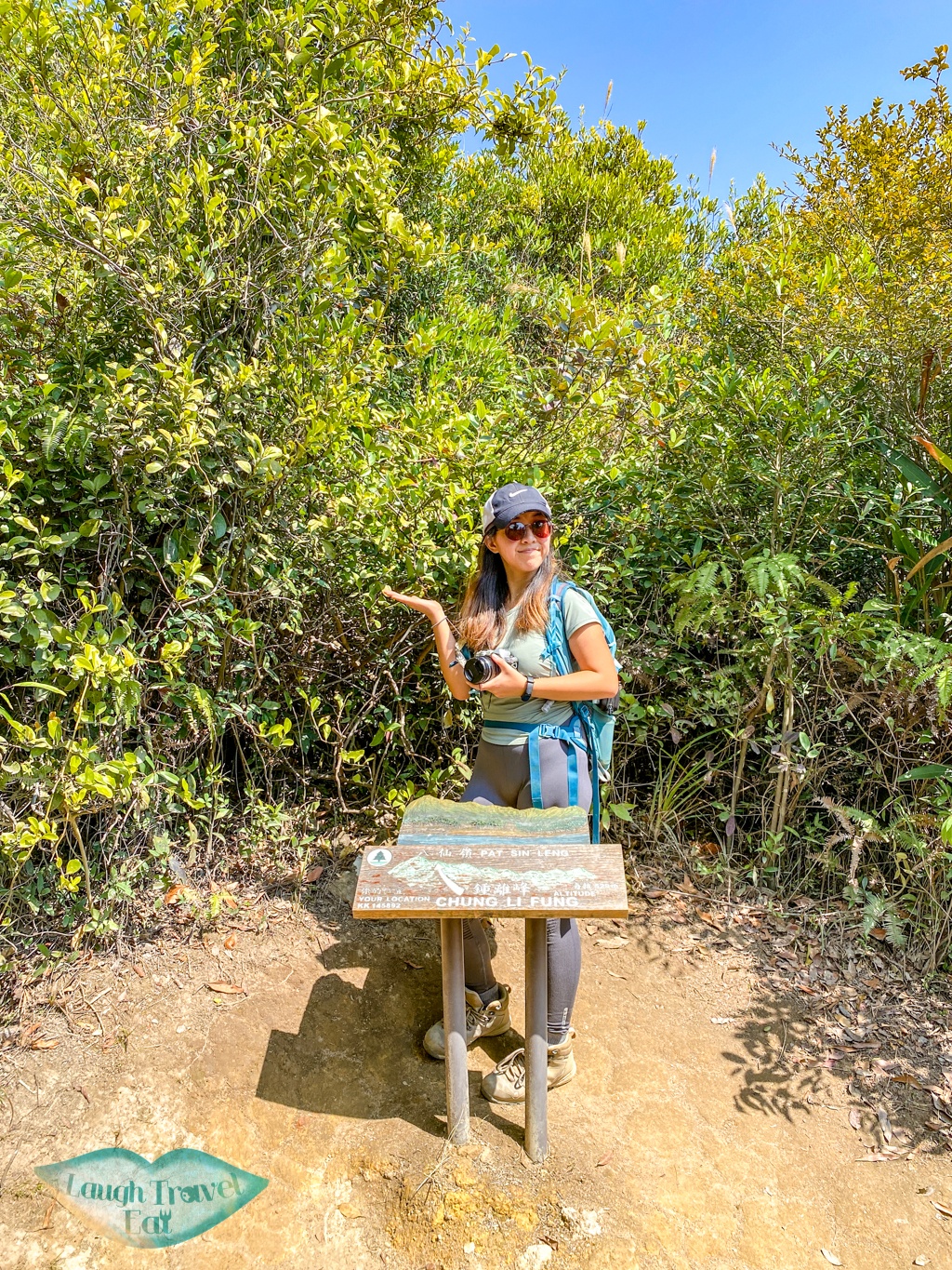
There is a sign that announces it as the peak to the right on a slightly flatter stretch, then it’s a brutally steep flight of stairs up with a switchback towards the end.
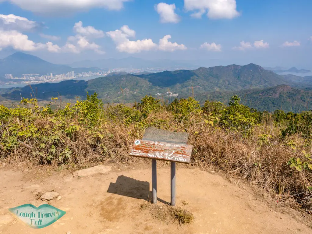
Shun Yeung Fung 純陽峰 591m
At the top of Shun Yeung Fung is a great view of the other seven peaks and all the way to Wong Chuk Kok Tsui where the Devil’s Fist is.
The trail then goes perpendicularly where you can see Wong Leng to the west and then the other seven peaks in a different angle.
Return to Tai Mei Tuk
It’s actually much faster to return all the way back, and it also takes less time than expected, as you’d be going mostly downhill! There are also several restaurants


